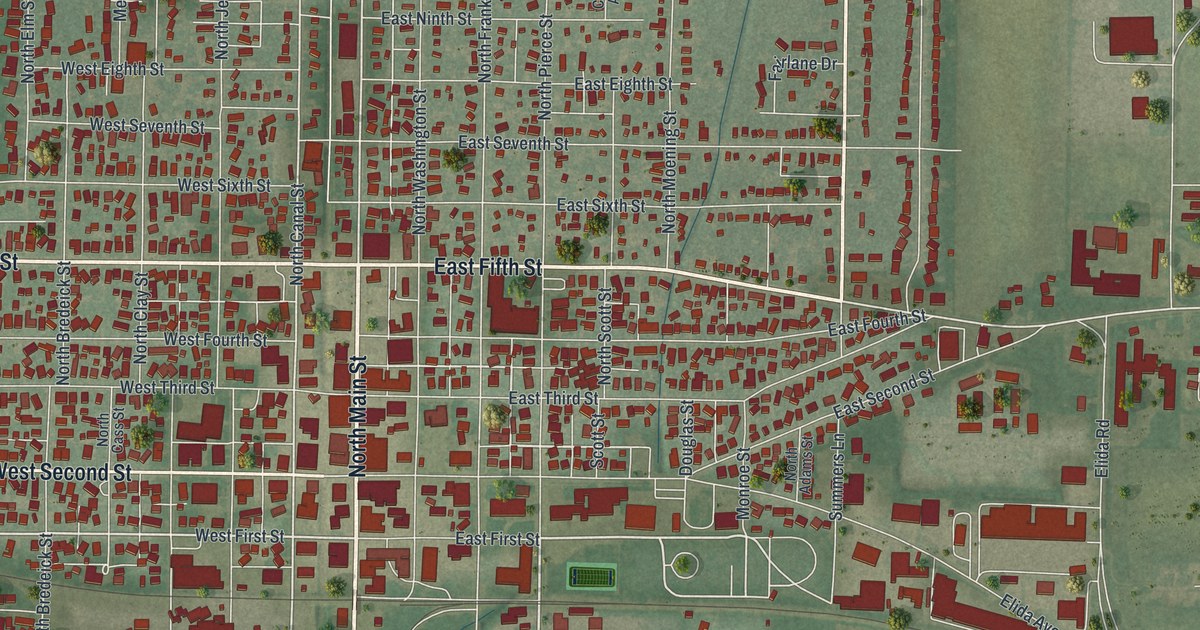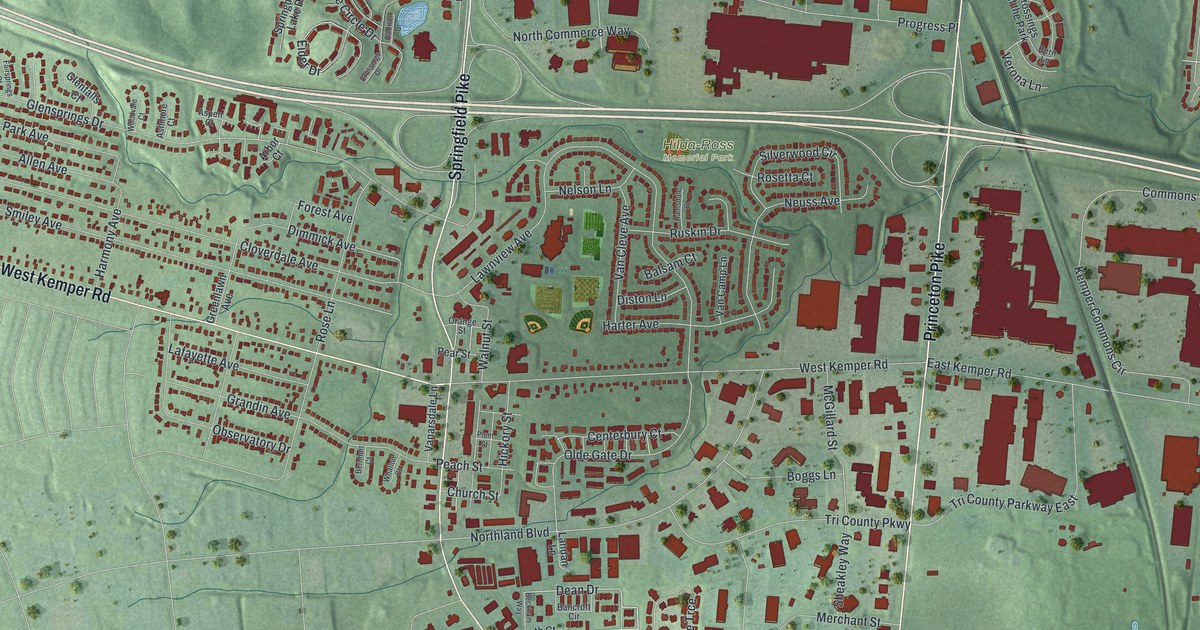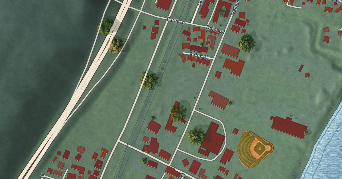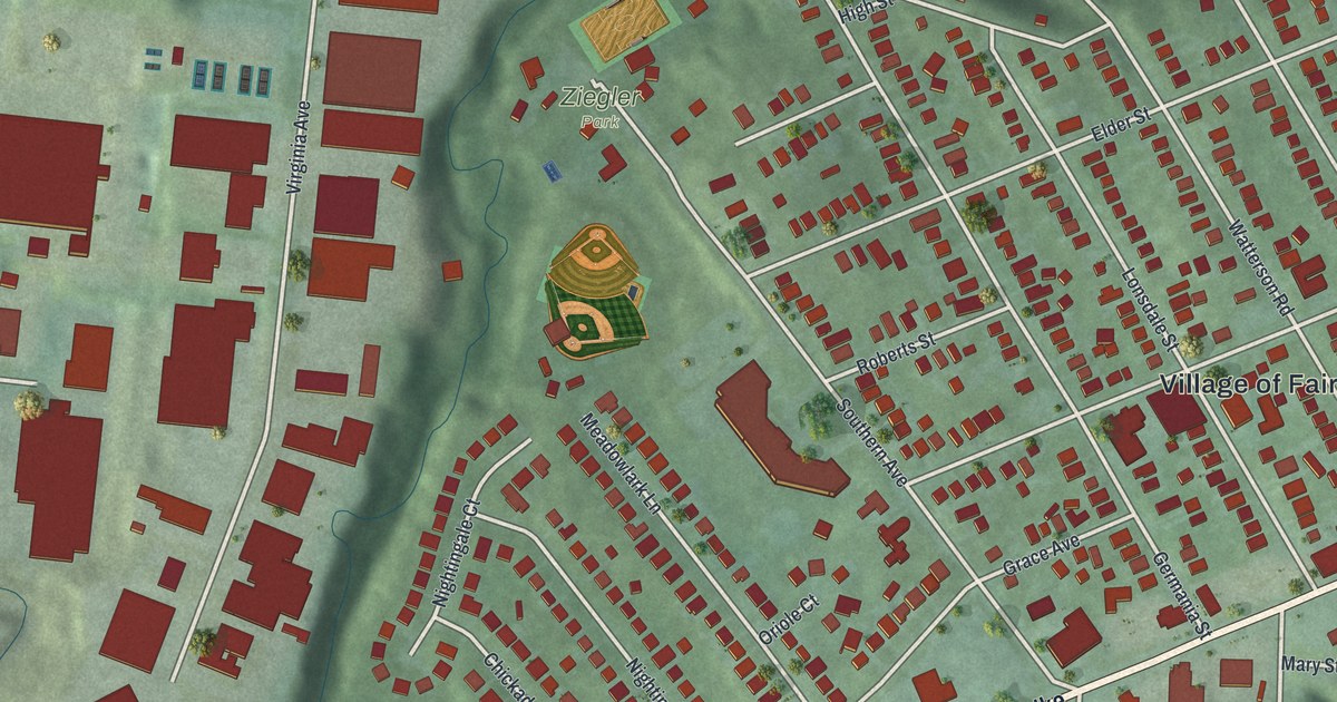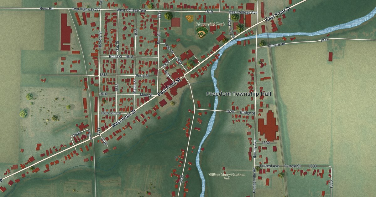
If you grew up in Pemberville, or you've walked Front Street past the old town hall on Main, this map is for you. It's a new aerial view of Pemberville in Wood County, Ohio, made from modern data and given a vintage look. The river curves through the middle of town, with Front Street crossing it on a long angle. Rows of red buildings fill the blocks around Main Street, and green fields spread out on every side.
The Opera House at Main Street and West Front Street
On this map you'll find Main Street, East Front Street, West Front Street, Bridge Street, East College Avenue, West College Avenue, Bierley Avenue, Scotch Ridge Road, Water Street, Perry Street, Pine Street, Memorial Drive, Memorial Park, Freedom Township Hall, William Henry Harrison Park, and more. Each red shape is a building, so zoom in on the preview and look for yours.
Pemberville's Town Hall was finished in 1892, at the height of the region's oil boom. It stands on the southwest corner of Main Street and West Front Street. The Ohio historical marker explains that it held the fire station, the jail and the council room on the ground floor. The whole second floor was an opera house with 250 seats. In 1897, The Mikado opened there under new electric lights. For decades, this was where the village came together. People went there for dances, plays, graduations, lectures and husking bees. Traveling shows brought concerts and vaudeville. After World War II the Opera House fell into disuse. Then in 1999 it was restored, and it took its place in village life again.
Harrison's Winter Camp by Bierley Avenue
Pemberville's story goes back even further. In the winter of 1813, during the War of 1812, General William Henry Harrison led his troops south to the Portage River. His men camped near the spot that's now William Henry Harrison Park, off Bierley Avenue. Heavy rain and floods in the Black Swamp held up their supplies. By the end of January, about 1,700 soldiers were there. Some died from the cold and wet and were buried at the camp. When the ground froze, Harrison moved on to the Maumee River, where construction of Fort Meigs began.
A Map of Pemberville from Memorial Park to Scotch Ridge Road

Created by KNOWOL in 2026, this print shows Pemberville from above in soft greens and field tones, with red buildings, a blue river and light gray roads. The cream title panel at the bottom reads "Aerial View of Pemberville, Ohio" with the coordinates 41°25' North 83°27' West.
It fits well in a living room, a front hall or a home office. It's a good gift for someone who grew up near Memorial Park, or who's moved away and still thinks of Front Street. Open the preview and find the streets you know. See sizes and frames for the Pemberville map.