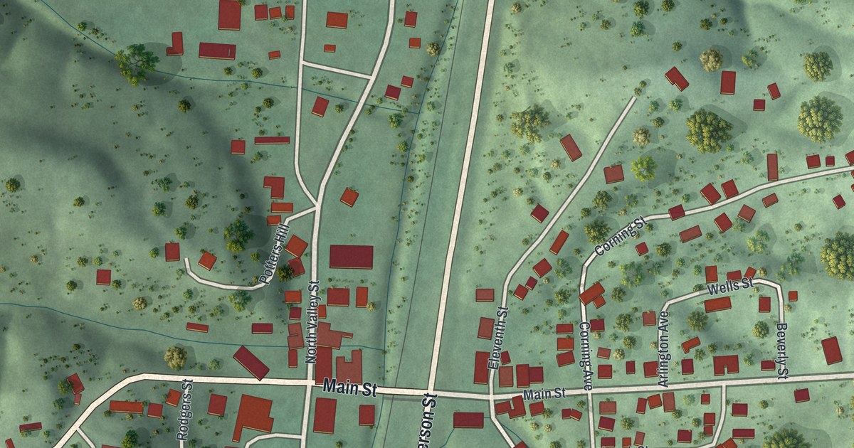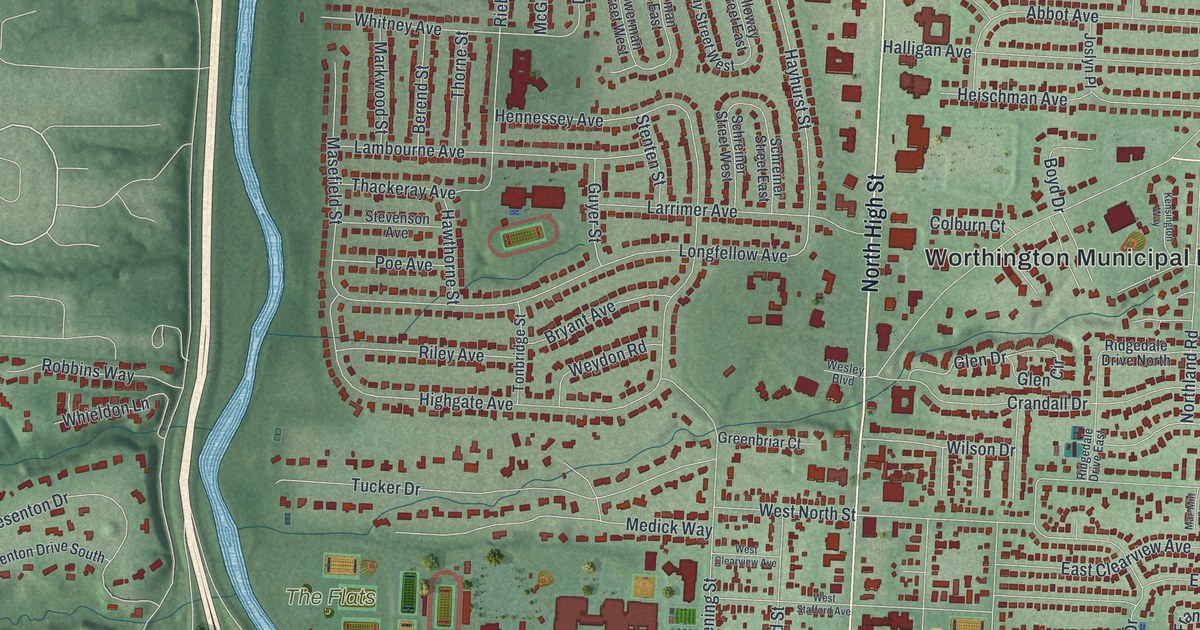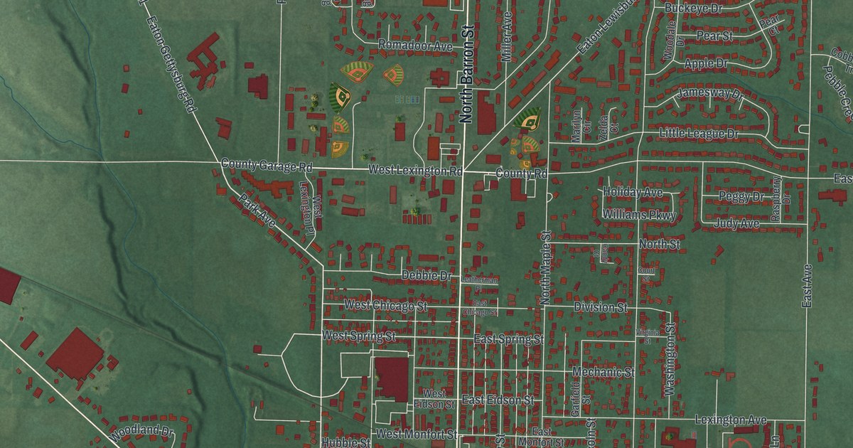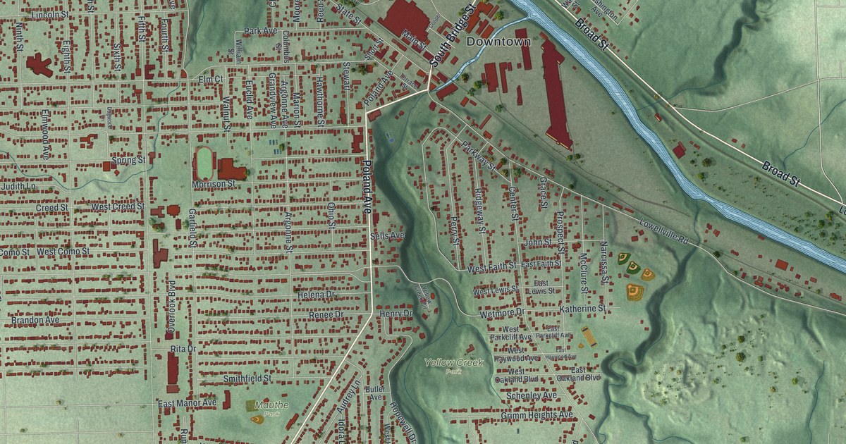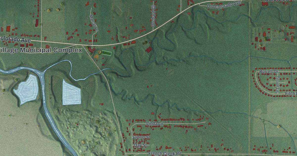
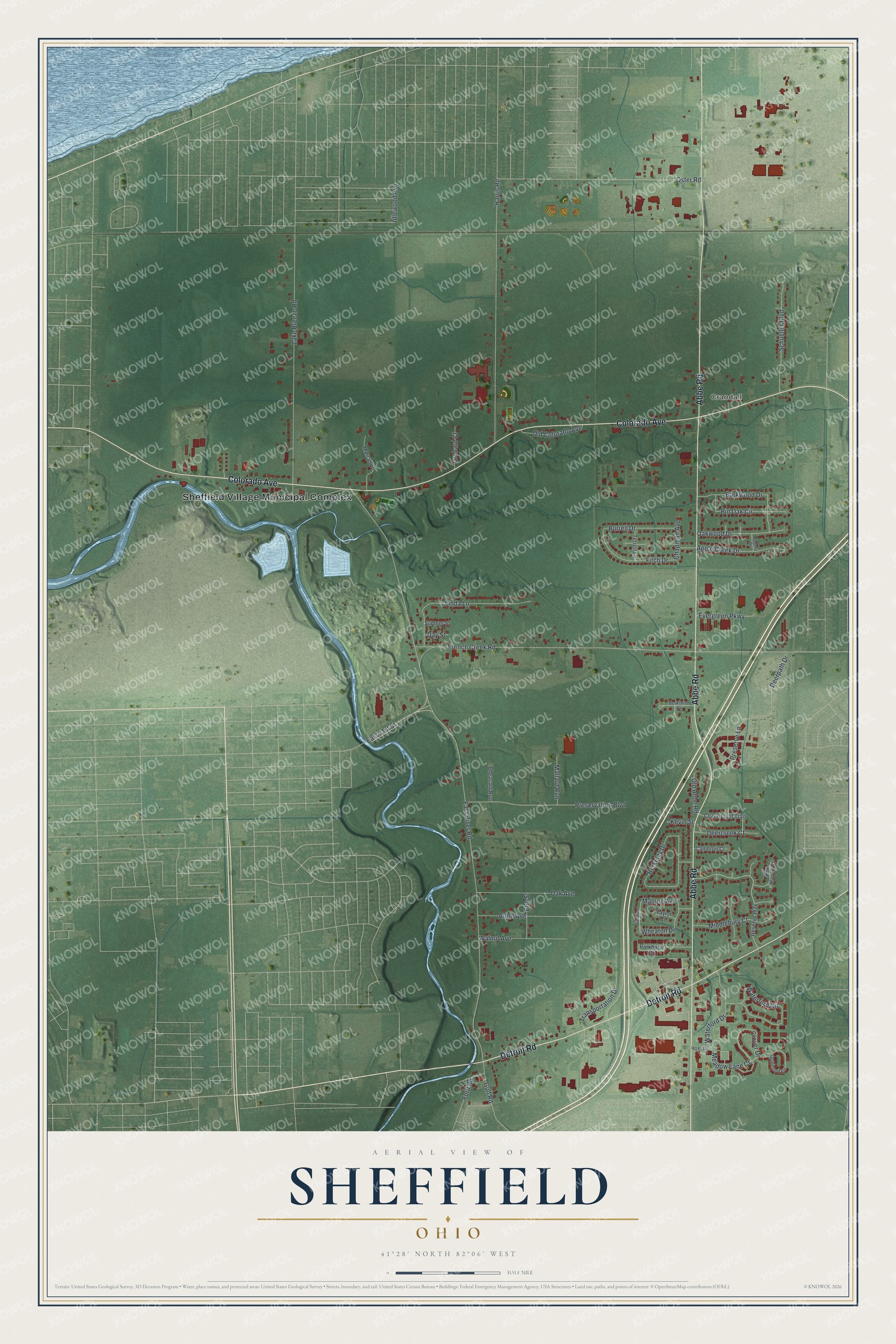
This beautifully detailed map of Sheffield, Ohio was created in 2026 using aerial imagery combined with modern topographical, census, street and landmark data. It’s a one-of-a-kind view of Sheffield that combines accurate data with a vintage aesthetic. The map shows every building in its true location, many of the roads carry their names, and the shaded topographic relief shows the shape of the land.
Explore an aerial view of Sheffield, Ohio
On the map you’ll find Sheffield Village Municipal Complex and Crandall, along with Abbe Road, Colorado Avenue, Detroit Road, Old Abbe Road, Clover Drive, East River Road, French Creek Road, Lake Breeze Road, Harris Road, Oster Road, and more. If you look closely you can even find your house accurately drawn in its correct location. Zoom in on the preview to look for yours.
Did you know this piece of Sheffield, Ohio history?
New England families settled Sheffield in 1815, when it was part of the Connecticut Western Reserve. In 1824 it became the first organized township in Lorain County. The village marked its bicentennial in 2015, and the historic Jabez Burrell House still stands there. That’s from the Sheffield Village.
Take a closer look at the Sheffield map
Street and place names on the Sheffield, Ohio map
These names are printed on the map of Sheffield, Ohio.
Places: Sheffield Village Municipal Complex and Crandall.
Streets and roads: Abbe Road, Colorado Avenue, Detroit Road, Old Abbe Road, Clover Drive, East River Road, French Creek Road, Lake Breeze Road, Harris Road, Oster Road, Berkeley Drive, Preservation Boulevard.
More street names, A to Z
Apple Creek Drive, Arbor Avenue, Barkwood Drive, Berkshire Drive, Burrell Drive, Cameron Court, Chapman Avenue, Coach Light Trail, Day Street, Deercreek Court, Deerpath Drive, East 31st Street, Elm Street, Evergreen Parkway, Fitch Drive, Ford Road, Goldenrod Circle, Gulf Road, Hoag Drive, Idlewood Avenue, Kevin Street, Linda Lane, Mallard Run, Malone Avenue, Marcus Drive, Meadow Lane Court, Middlebury Court, New Haven Court, Oak Avenue, Oakwood Drive, Old Colorado Avenue, Orchard Court, Parkhurst Drive, Pheasant Run, Pin Oak Circle, Preserve Lane, Regent Drive, Reserve Way, Schueller Boulevard, Sumner Street, Taylor Court, Terrell Lane, Transportation Drive, Walnut Avenue, Waterford Circle, Waterford Drive, Westmont Drive, Wheaton Drive.
See the Sheffield, Ohio map on a wall
The Sheffield map as an 18 x 24 inch print in a black frame.

This beautifully detailed map of Sheffield makes an attractive addition to your office, library, or den, and it can even be used to teach children the geography and history of the area. It also makes a great gift for someone who left Sheffield and still calls it home. When you’re done exploring, click here to get your copy of the Sheffield map.