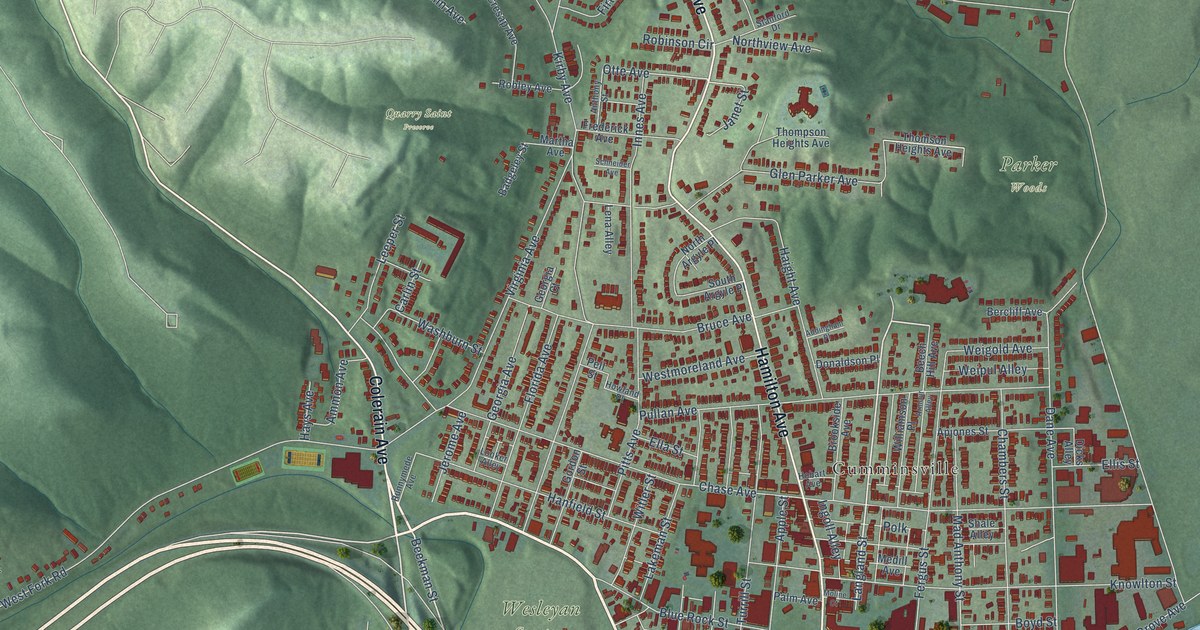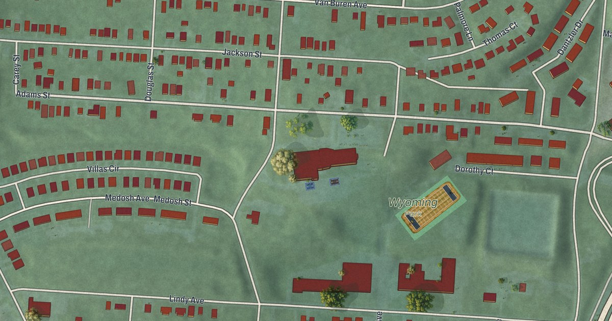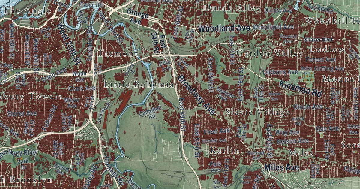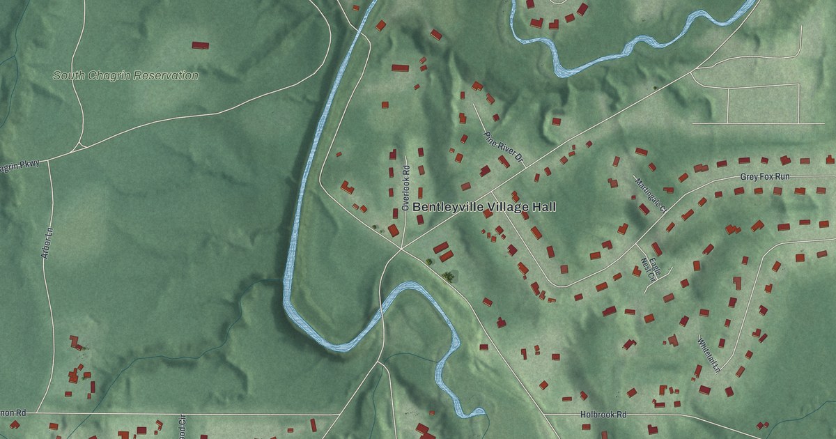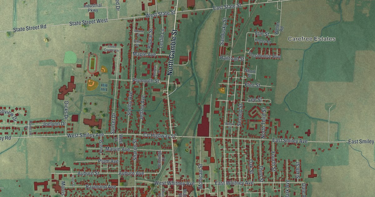
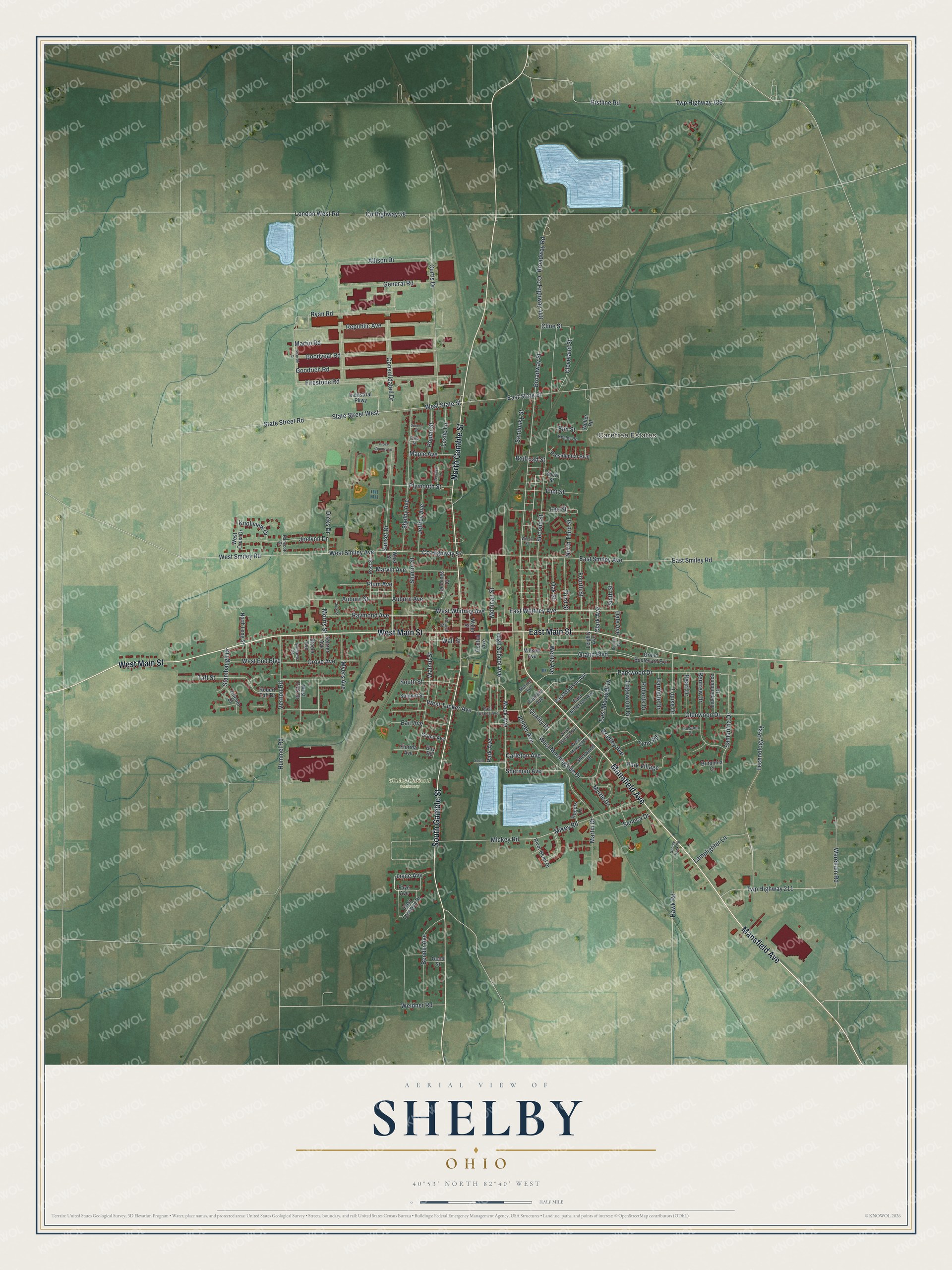
This beautifully detailed map of Shelby, Ohio was created in 2026 using aerial imagery combined with modern topographical, census, street and landmark data. It’s a one-of-a-kind view of Shelby that combines accurate data with a vintage aesthetic. The map shows every building in its true location, many of the roads carry their names, and the shaded topographic relief shows the shape of the land.
Explore an aerial view of Shelby, Ohio
On the map you’ll find Carefree Estates and Shelby-Oakland Cemetery, along with Mansfield Avenue, South Gamble Street, West Main Street, North Gamble Street, East Main Street, Broadway Street, Mack Avenue, Sherman Avenue, West State Street, East Whitney Avenue, and more. If you look closely you can even find your house accurately drawn in its correct location. Zoom in on the preview to look for yours.
Did you know this piece of Shelby, Ohio history?
John Gamble came from New York State and built the first mill in the township, where Shelby now stands. His log mill ran on horse power. Farmers hitched their own horses or oxen to the sweep and ground their grain themselves. Long before a town was laid out, people called the place Gamble’s Mill. That’s from the 1880 History of Richland County, Ohio.
Take a closer look at the Shelby map
Street and place names on the Shelby, Ohio map
These names are printed on the map of Shelby, Ohio.
Places: Carefree Estates and Shelby-Oakland Cemetery.
Streets and roads: Mansfield Avenue, South Gamble Street, West Main Street, North Gamble Street, East Main Street, Broadway Street, Mack Avenue, Sherman Avenue, West State Street, East Whitney Avenue, East State Street, Cline Street.
More street names, A to Z
Allison Drive, Auburn Avenue, Auburn Street, Bendle Avenue, Bistline Road, Bradley Avenue, Britannia Court, Broadway Road, Brucker Avenue, Buckeye Drive, Carleton Avenue, Central Avenue, Church Street, Clark Avenue, Cleveland Street, Close Street, Consolidated Drive, County Highway 57, County Highway 58, County Highway 448, Cross Country Lane, Curtis Drive, Dale Avenue, Dicks Drive, Earl Avenue, East Jefferson Avenue, East Lorwood Drive, East Madison Avenue, East Maxwell Drive, East Smiley Avenue, East Smiley Road, East Tucker Avenue, Edgewood Drive, Elm Street, Faye Avenue, Firestone Road, Flint Street, Florida Avenue, Fourth Street, Franklin Avenue, General Road, George Hawk Road, Glenwood Drive, Goodrich Road, Good Street, Goodyear Road, Grace Avenue, Grand Boulevard, Grand Boulevard Extension, Grove Avenue, Harriette Drive, Hawk Road, High School Avenue, Hummel Road, Independence Drive, Industrial Parkway, Jayne Avenue, Jeffrey Avenue, Jenner Avenue, Jennings Court, Joelynn Drive, Kegley Road, Knollview Drive, Lamplighter Lane, Lee Street, Leighty Avenue, Leslie Lane, Lincoln Drive, Linwood Court, London West Road, Louise Drive, Lynn Road, Maple Avenue, Martin Drive, Martin Road, Marvin Avenue, Mickey Road, Mikey Road, Mohican Street, Monroe Avenue, Morris Street, Myers Avenue, Myrtle Drive, North Long Street, North Third Street, Oak Street, Park Avenue, Park Village, Parkwood Drive, Pearl Drive, Pine Street, Plum Avenue, Plymouth Street, Poplar Street, Post Street, Presidential Boulevard, Quality Drive, Railroad Street, Ranscott Drive, Raymond Avenue, Ray Road, Renfrew Drive, Republic Avenue, River Bend Drive, Roberts Drive, Robert Taft Drive, Rogers Lane, Ryan Road, Samantha Drive, Sandusky Street, Second Street, Seltzer Avenue, Seneca Drive, Sharon Street, Shelby Avenue, Sherwood Drive, Short Street, Sikorski Drive, Sixth Street, South Drive, South Street, Spruce Street, Stambaugh Drive, State Street Road, State Street West, Steele Avenue, Summit Street, Sunset Drive, Taft Street, Technology Prky, Third Street, Twp Highway 186, Twp Highway 211, Vernon Road, Wall Street, Walnut Street, Wareham Road, Water Street, Weidner Road, Weller Road, Wentz Avenue, West Crest Drive, West End Boulevard, West Gaylord Avenue, West Maxwell Drive, West Morningside Drive, West Park Drive, West Smiley Avenue, West Smiley Road, West Street, West Tucker Avenue, West Whitney Avenue, Wilcox Street, Williams Court, Wilson Avenue.
See the Shelby, Ohio map on a wall
The Shelby map as an 18 x 24 inch print in a black frame.

This beautifully detailed map of Shelby makes an attractive addition to your office, library, or den, and it can even be used to teach children the geography and history of the area. It also makes a great gift for anyone with Shelby roots. When you’re done exploring, click here to get your copy of the Shelby map.