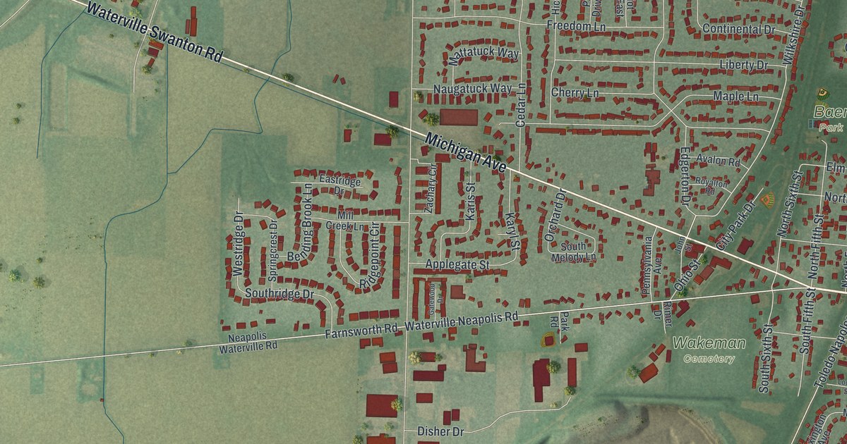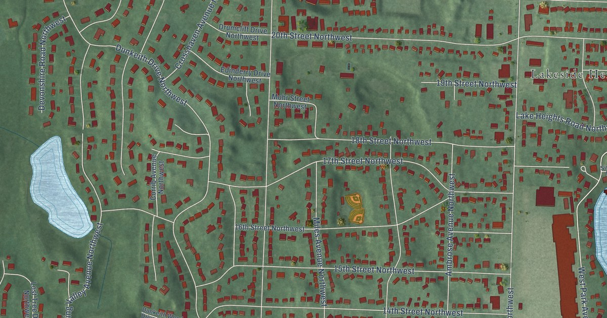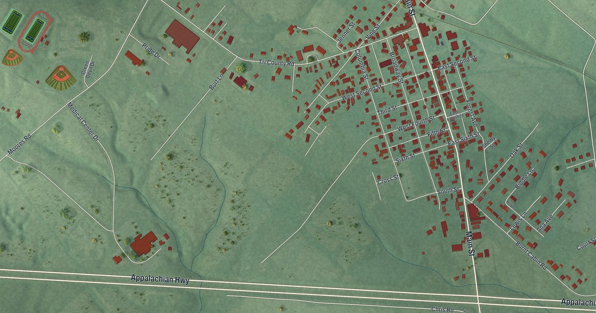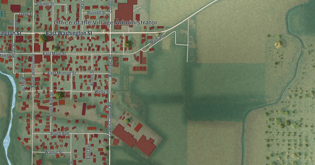
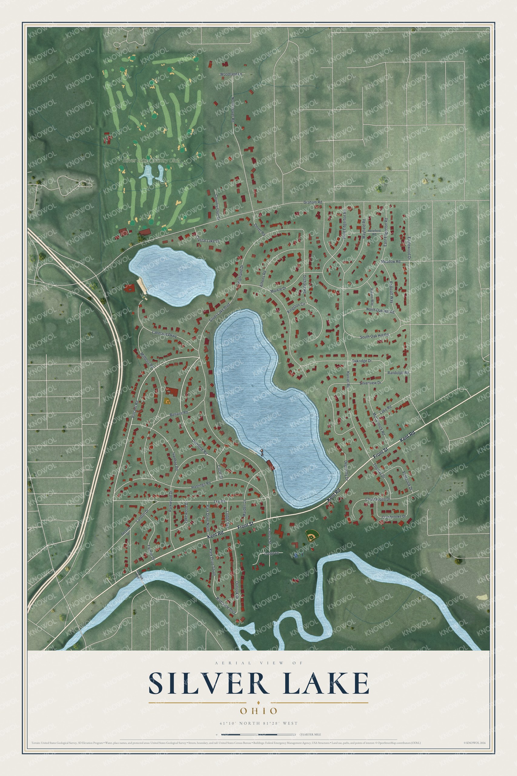
This beautifully detailed map of Silver Lake, Ohio was created in 2026 using aerial imagery combined with modern topographical, census, street and landmark data. It’s a one-of-a-kind view of Silver Lake that combines accurate data with a vintage aesthetic. The map shows every building in its true location, many of the roads carry their names, and the shaded topographic relief shows the shape of the land.
Explore an aerial view of Silver Lake, Ohio
On the map you’ll find Silver Lake Country Club, along with Front Street, Kent Road, Vincent Road, Overlook Road, Riverview Boulevard, Silver Lake Boulevard, Graham Road, Harriet Road, Englewood Drive, Hastings Road, Millboro Road, and more. If you look closely you can even find your house accurately drawn in its correct location. Zoom in on the preview to look for yours.
Did you know this piece of Silver Lake, Ohio history?
In 1874, Ralph H. Lodge bought Silver Lake and later the land around it. His amusement park grew to 600 acres, with a roller coaster, a dance hall and a hotel. At its peak it drew over 10,000 visitors a day. The park was sold in 1917, and the village incorporated in 1918.
Take a closer look at the Silver Lake map
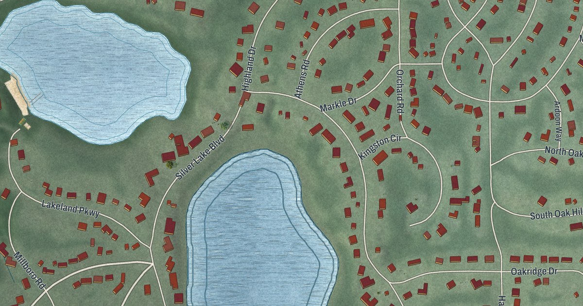
Street and place names on the Silver Lake, Ohio map
These names are printed on the map of Silver Lake, Ohio.
Places: Silver Lake Country Club.
Streets and roads: Front Street, Kent Road, Vincent Road, Overlook Road, Riverview Boulevard, Park Drive South, Silver Lake Boulevard, Graham Road, Harriet Road, Englewood Drive, Hastings Road, Millboro Road.
More street names, A to Z
Ardoon Way, Athens Road, Bellaire Road, Chautauqua Drive, Church Street, Circle Drive, Country Club Drive, Cranbrooke Drive, Crystal Lake Drive, Degruchy Drive, Dover Road, East Edgerton Road, Elmbrook Drive, Endicott Way, Fulmer Drive, Hereford Road, Highland Drive, Ivanhoe Road, Kingston Circle, Lakeland Parkway, Lake Road, Lakewood Drive, Landon Drive, Lee Road, Lodge Avenue, Lodge Drive, Maiden Lane, Markle Drive, Mayfield Road, McCormick Road, Meadow Road, North Dover Road, North Oak Hill Road, Oak Park Boulevard, Oakridge Drive, Orchard Road, Outlook Drive, Park Drive North, Parkwood Drive, Randolph Road, Second Street, Silverview Drive, South Oak Hill Road, Thomas Drive, West Edgerton Road, Woodland Lane.
See the Silver Lake, Ohio map on a wall
The Silver Lake map as an 18 x 24 inch print in a black frame.

This beautifully detailed map of Silver Lake makes an attractive addition to your office, library, or den, and it can even be used to teach children the geography and history of the area. It also makes a great gift for someone who left Silver Lake and still calls it home. When you’re done exploring, click here to get your copy of the Silver Lake map.