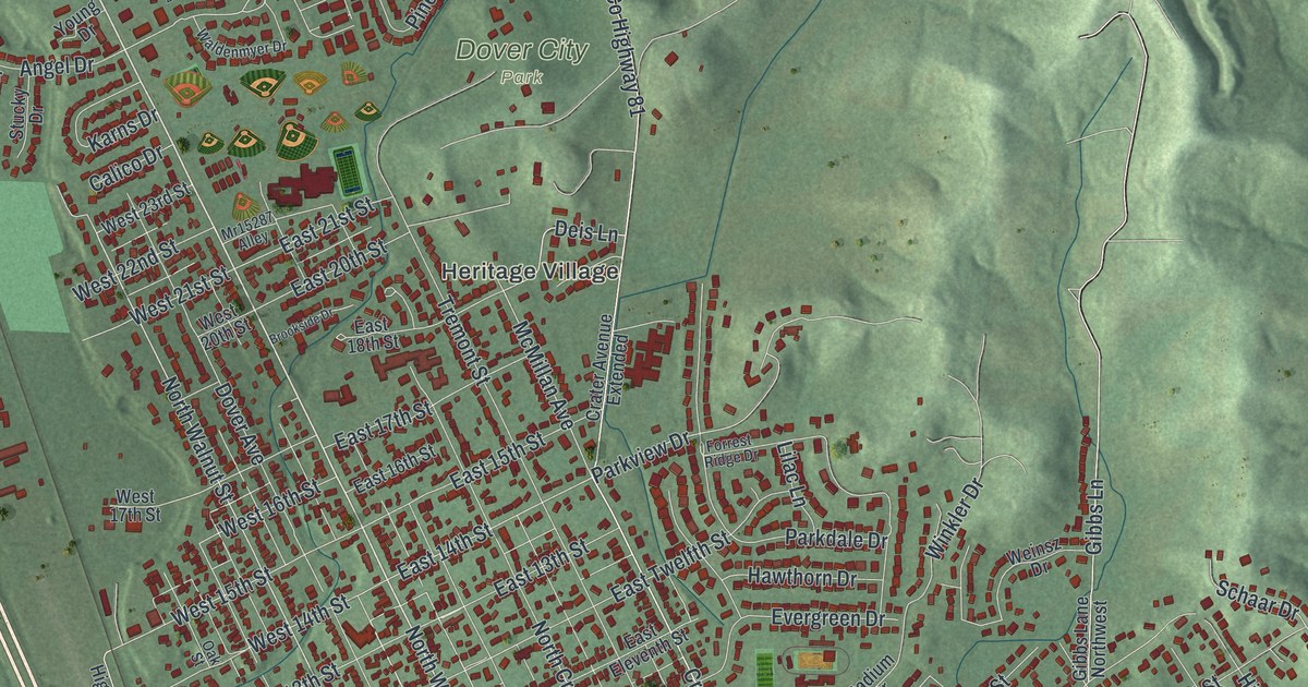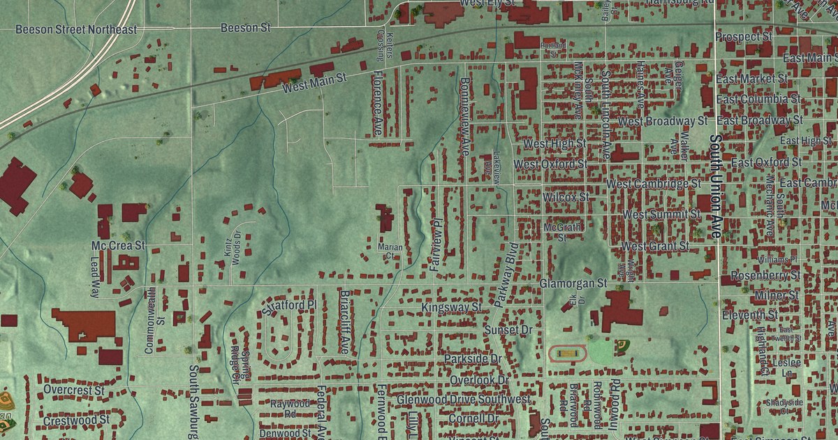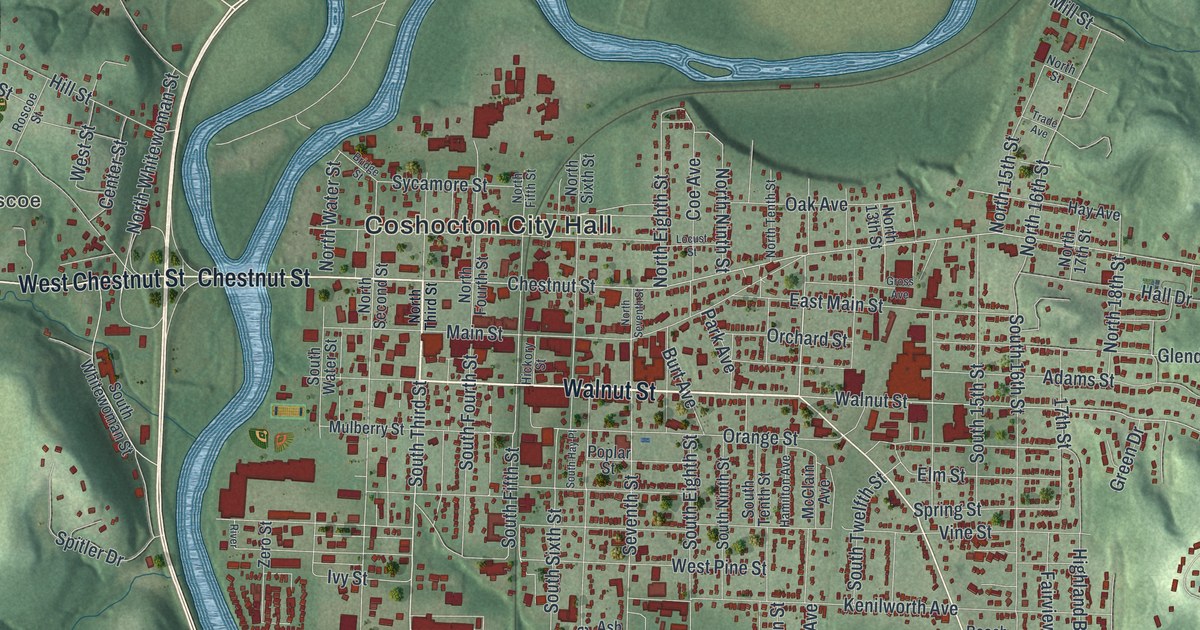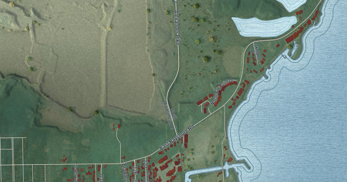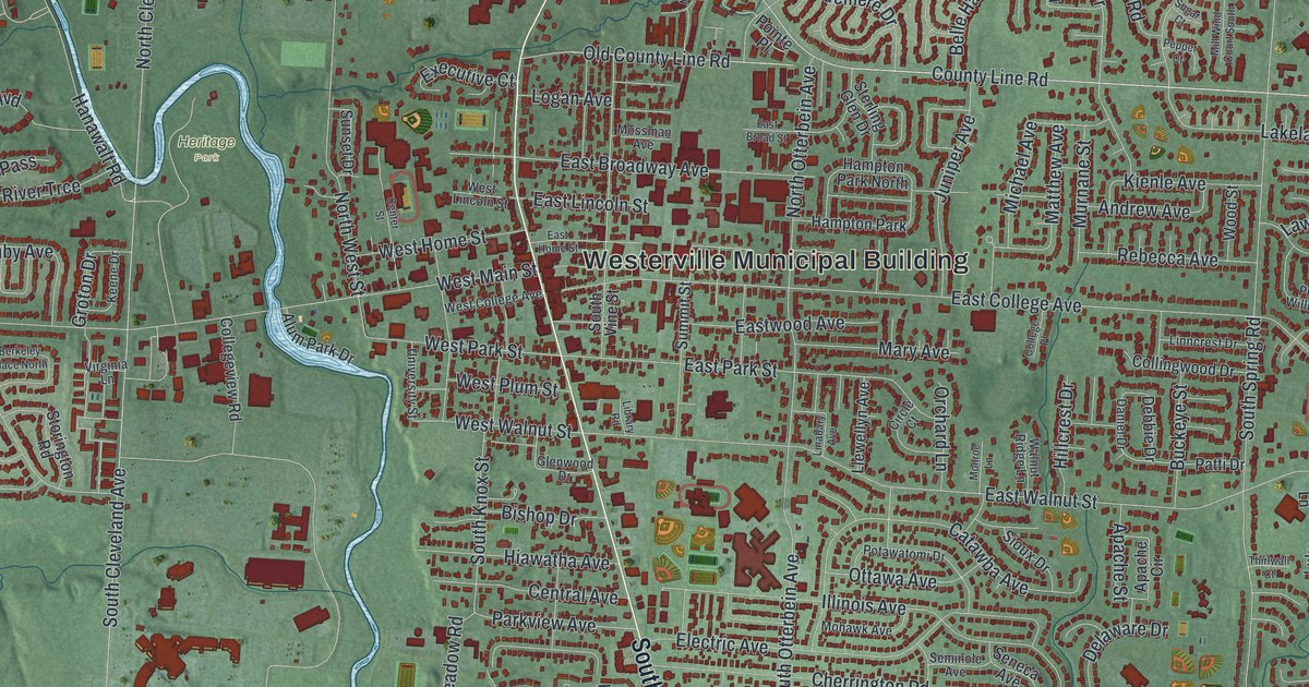
If you grew up in Westerville, went to Otterbein or have family who still lives off State Street, there's a lot on this map for you to find. It's a modern aerial view of Westerville in Franklin County, Ohio, made from modern data and given a vintage look. The city's buildings are drawn in deep red over soft green hills. A thin blue creek winds down the left side of town, and a long blue lake runs along the right edge. Up close, you can pick out single streets and houses.
State Street, Heritage Park and Central College
Start at the Westerville Municipal Building in the middle of the map. State Street runs close by. North State Street heads up toward the top, and South State Street heads down. To the left, the creek winds south past Heritage Park. Metzger Park is named farther left, with Hanby Avenue and Millfield Avenue beside it. Now go back to the center and head north. County Line Road crosses the map from west to east. McCorkle Boulevard runs up past Hoff Woods Park to Maxtown Road.
Polaris Parkway runs across the upper left, where it meets Worthington Road. Africa Road branches off Worthington Road nearby. Over on the right, Sunbury Road runs south past Central College, where Central College Road meets it. Inniswood Metro Gardens is named just to the west. Dempsey Road runs east near the bottom right. Many of the roads are labeled, and each red shape is a building, so zoom in on the preview and look for yours.
Benjamin Hanby and Up on the Housetop
Here's a story to tell when someone asks about the map. Benjamin Hanby started at Otterbein University in 1849. To help pay for school, he took turns between college terms and teaching nearby. In 1856, while still a student, he heard the story of an enslaved man and his sweetheart. It moved him to write an anti-slavery song called "Darling Nelly Gray." The song caught on fast with people working to end slavery. In 1864, he wrote "Up on the Housetop." According to an Ohio historical marker, he wrote 80 songs before he died of tuberculosis in 1867. Hanby House, on West Main Street, is kept as a memorial to him and his father, Bishop William Hanby.
Why Westerville was called the Dry Capital of the World
Westerville has one more nickname worth knowing. In 1909, the Anti-Saloon League of America moved its headquarters here. The League built a publishing house and put out ten years of books, pamphlets and papers against liquor. That push helped bring Prohibition in 1920. It also earned Westerville the name "Dry Capital of the World." The League's leaders lived near Park, Grove, Walnut and University streets. That area is now the Temperance Row Historic District, on the National Register. Find West Park Street, West Walnut Street and University Street just west of State Street.
A Westerville gift, from Hoff Woods Park to Central College
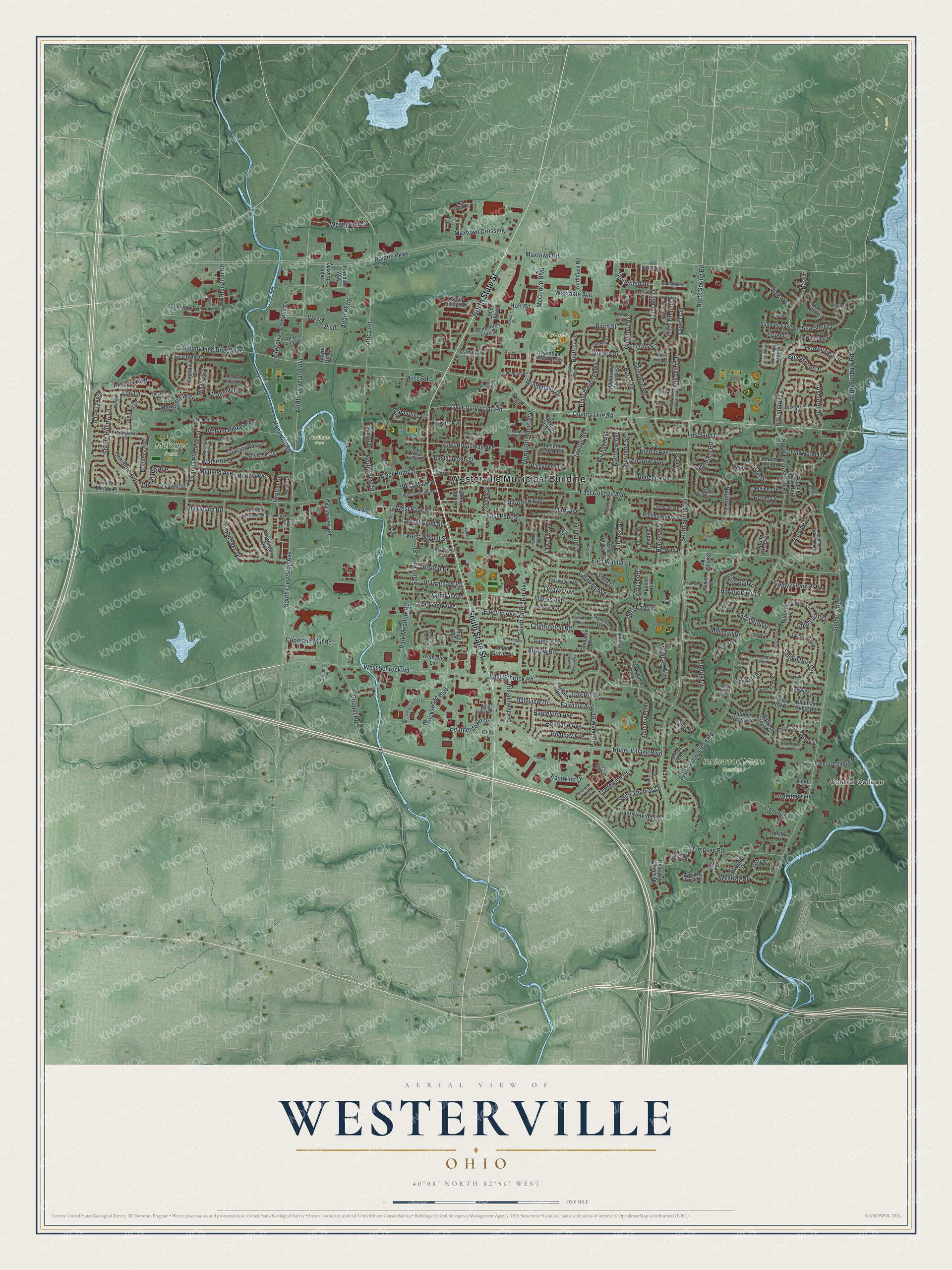
Created by KNOWOL in 2026, this map of Westerville fits an office, a den or a family room. The shaded hills come from USGS elevation data, and the red blocks of town stand out against the open green country around them. The title panel reads "Aerial View of Westerville, Ohio," with the coordinates 40°08' North, 82°56' West and a one-mile scale bar.
It's a thoughtful gift for an Otterbein graduate, someone who grew up near Hoff Woods Park, or anyone who moved away and misses home. Open the preview, zoom in and find the streets you know. See sizes and frames for the Westerville map.