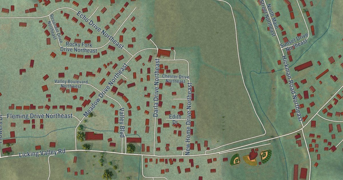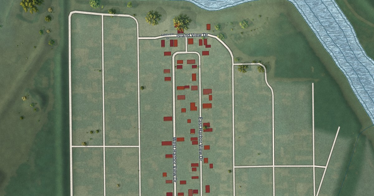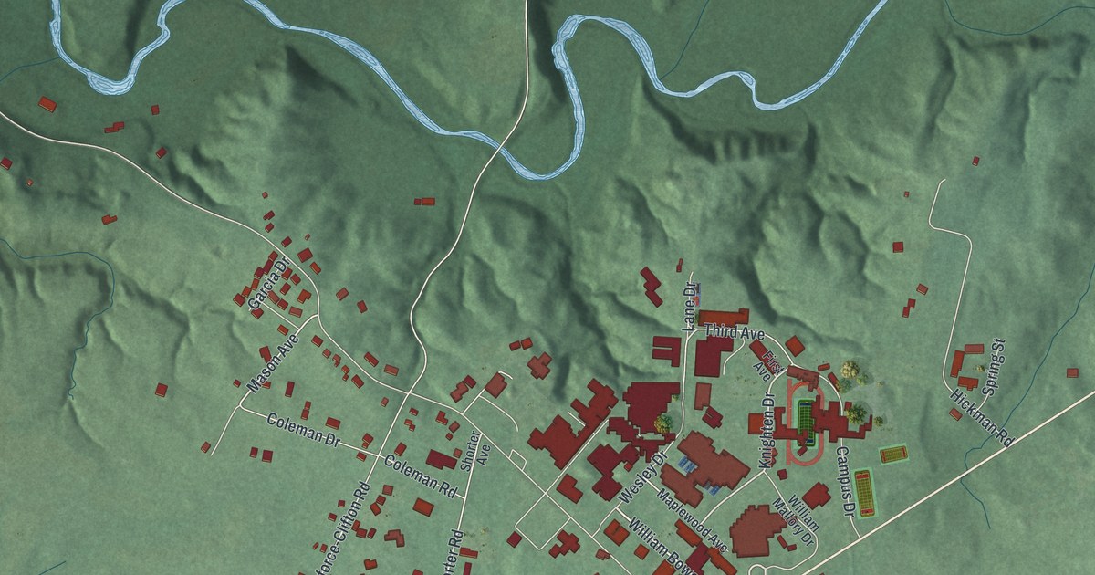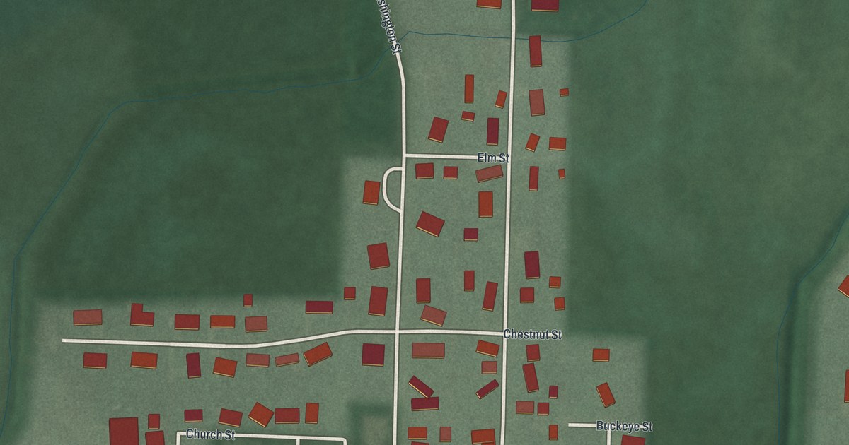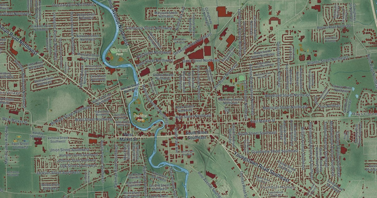
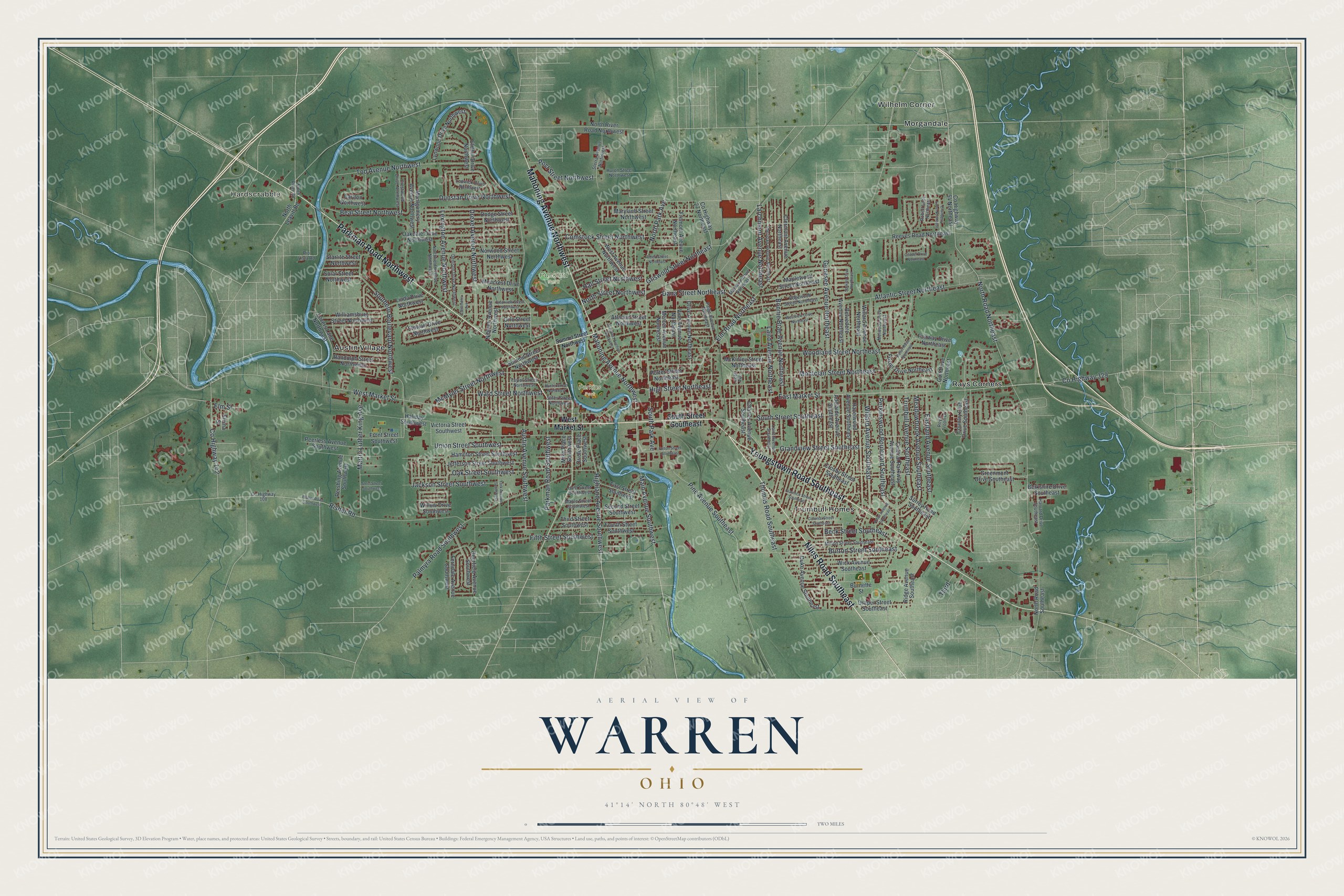
This beautifully detailed map of Warren, Ohio was created in 2026 using aerial imagery combined with modern topographical, census, street and landmark data. It’s a one-of-a-kind view of Warren that combines accurate data with a vintage aesthetic. The map shows every building in its true location, many of the roads carry their names, and the shaded topographic relief shows the shape of the land.
Explore an aerial view of Warren, Ohio
On the map you’ll find Hardscrabble, Packard Park, Perkins Park, Austin Village, Morgandale, Rays Corners, Trumbull Homes, and Wilhelm Corner, along with Niles Road Southeast, Parkman Road Northwest, Youngstown Road Southeast, Mahoning Avenue Northwest, and more. If you look closely you can even find your house accurately drawn in its correct location. Zoom in on the preview to look for yours.
Did you know this piece of Warren, Ohio history?
Ephraim Quinby founded Warren in 1798 on land bought from the Connecticut Land Company. He named it for Moses Warren, the town surveyor. In the 1890s the Packard brothers, James Ward and William Doud, started an electric company in town. It made Warren the first U.S. town with electric street lighting.
Take a closer look at the Warren map
Street and place names on the Warren, Ohio map
These names are printed on the map of Warren, Ohio.
Places: Hardscrabble, Packard Park, Perkins Park, Austin Village, Morgandale, Rays Corners, Trumbull Homes and Wilhelm Corner.
Streets and roads: Niles Road Southeast, Parkman Road Northwest, Youngstown Road Southeast, Mahoning Avenue Northwest, East Market Street, West Market Street, South Street Southeast, North Road Northeast, Main Avenue Southwest, Highland Avenue Southwest, County Highway 329, Tod Avenue Northwest.
More street names, A to Z
Adelaide Avenue Southeast, Albert Street Northeast, Arbor Avenue Southeast, Atlantic Street Northeast, Atlantic Street Northwest, Austin Avenue Southwest, Beal Street Northwest, Beck Street Southeast, Belvedere Avenue Northeast, Berkshire Drive Southeast, Bonnie Brae Avenue Northeast, Burnette Street, Burton Street Southeast, Butler Road Northeast, Carlton Northwest, Central Parkway Avenue Southeast, Charles Avenue Southeast, Citadel Drive Northeast, Clarence Street Southeast, Clearview Street Northwest, Clemmens Avenue, Clermont Avenue Northeast, Colonial Street Southeast, Comstock Street Northwest, Country Club Drive Southeast, County Highway 27 Northeast, County Highway 54 Northeast, County Highway 108, County Highway 142, Cranberry Lane Northeast, Crestwood Drive Northwest, Crosby Street Southeast, Dana Street Northeast, Deerfield Avenue Southwest, Denison Drive Northwest, Dodge Street Northwest, Draper Street Southeast, Drexel Avenue Northwest, Duke Avenue Southeast, Dunstan Drive Northwest, Eastland Avenue Southeast, Edgewood Street Northeast, Elmhill Drive Northwest, Elm Road Northeast, Elm Street, Elvina Street, Fairway Drive Northeast, Ferndale Avenue Southwest, Fifth Street Southwest, First Street Southwest, Foster Drive Northeast, Fourth Street Southwest, Fremont Avenue Northeast, Front Street Southwest, Fulton Street Southeast, Genesee Avenue Northeast, Golf Drive Northeast, Grandview Street Southeast, Greenmont Drive Southeast, Griswold Street Northeast, Haliday Southwest, Hall Street Northwest, Hamilton Street Southwest, Harvard Drive Southeast, Hazelwood Avenue Southeast, High Street Northeast, Hoyt Street Southwest, Hunter Street Northwest, Huron Street Northwest, Jackson Street Southwest, Jefferson Street Southwest, Laird Avenue Northeast, Laird Avenue Southeast, Larchmont Avenue Northeast, Lexington Avenue Northwest, Linda Drive Northwest, Lodwick Drive Northwest, Logan Avenue, Lovers Lane Northwest, Lynwood Drive Northwest, Maple Street Southwest, Maplewood Street Northeast, Martin Luther King Avenue, Maryland Street Northwest, Mazda Avenue Northeast, McKinley Street Northeast, McMyler Street Northwest, Meadowbrook Avenue Southeast, Melwood Drive Northeast, Mercer Avenue Northeast, Mike Place Southwest, Milton Street Southeast, Moncrest Drive Northwest, Montclair Street Northeast, Montgomery Avenue Northwest, Niblock Avenue Northwest, Northfield Avenue Northwest, North Leavitt Road, North Park Avenue, North River Road, North River Road Northwest, North Road Southeast, North Street Northwest, Norwood Street Northwest, Oakdale Drive Northwest, Oak Street Southwest, Olive Avenue Northeast, Oriole Place Southwest, Orlo Street Northwest, Paige Avenue Northeast, Palmyra Road Southwest, Parkman Road Southwest, Peerless Avenue Southwest, Perkinswood Boulevard Southeast, Pershing Avenue Southwest, Pine Avenue Southeast, Porter Street Northeast, Post Street Northwest, Prospect Avenue Northwest, Randolph Street Northwest, Reeves Road Northeast, Ridge Avenue Southeast, Rio Vista Road, Risher Road, Risher Road Southwest, Robert Lane Northeast, Royal Troon Drive, Sarkies Drive Northeast, Second Street Southwest, Sferra Avenue Northwest, Sheridan Avenue Northeast, Solar Street Northwest, Southern Boulevard Northwest, South Park Avenue, Starlite Street Northwest, Steel Street Southwest, Stewart Drive Northwest, Stiles Street Northwest, Summit Street Northwest, Surrey Road Southeast, Taylor Street Northwest, Third, Third Street Southwest, Thomas Road Southeast, Trumbull Avenue Southeast, Union Street Southwest, Victoria Street Southwest, Vine Avenue Northeast, Ward Street Northwest, West Avenue Northwest, Westview Drive Northeast, Wick Avenue Southeast, Willard Avenue Northeast, Willard Avenue Southeast, Williamsburg Street Northwest, Willow Drive Southwest, Woodland Street Northeast, York Avenue Southwest.
See the Warren, Ohio map on a wall
The Warren map as an 18 x 24 inch print in a black frame.

This beautifully detailed map of Warren makes an attractive addition to your office, library, or den, and it can even be used to teach children the geography and history of the area. It also makes a great gift for anyone who grew up in Warren or moved away. When you’re done exploring, click here to get your copy of the Warren map.