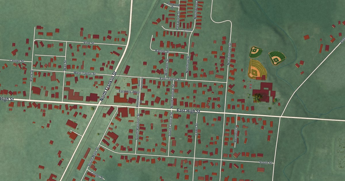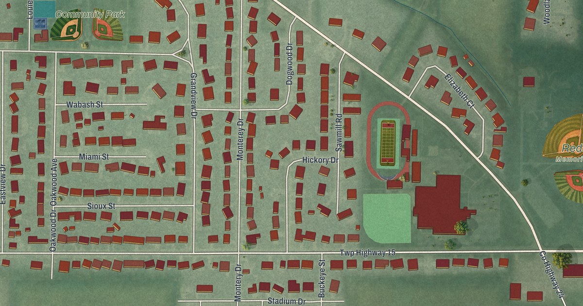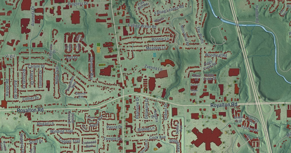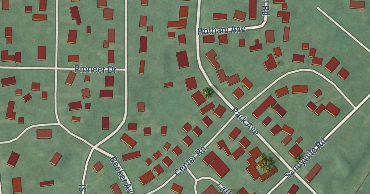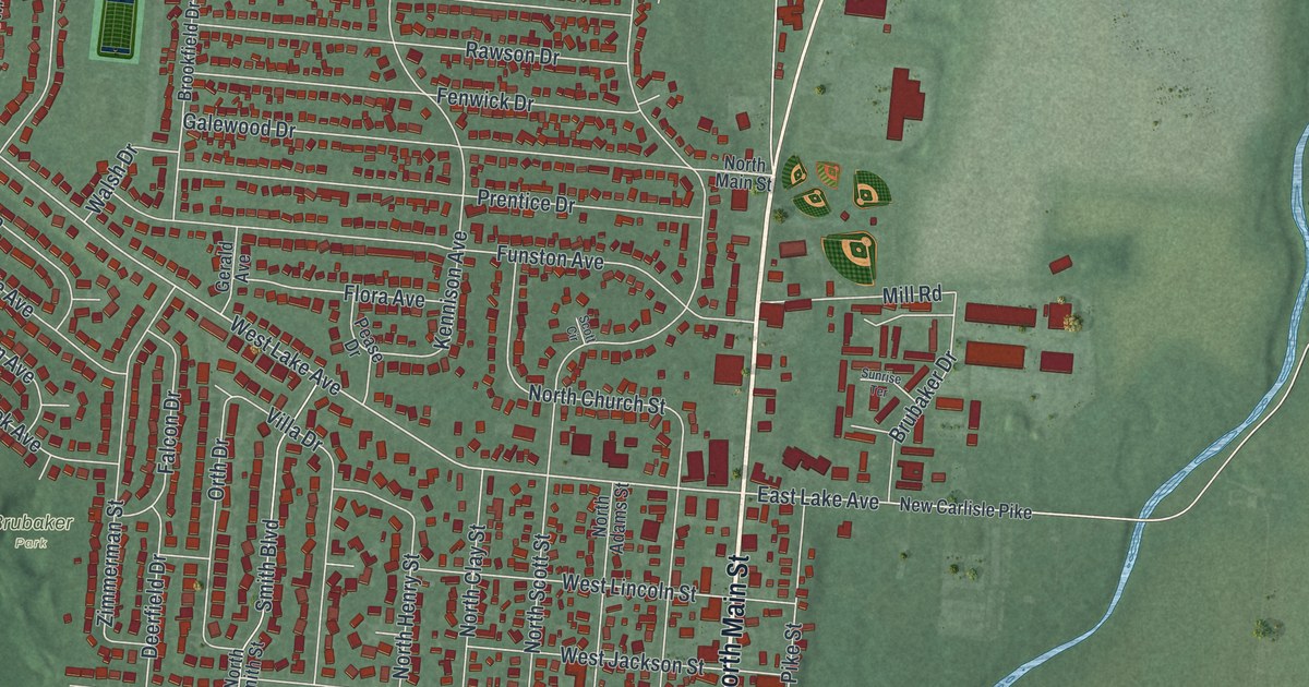
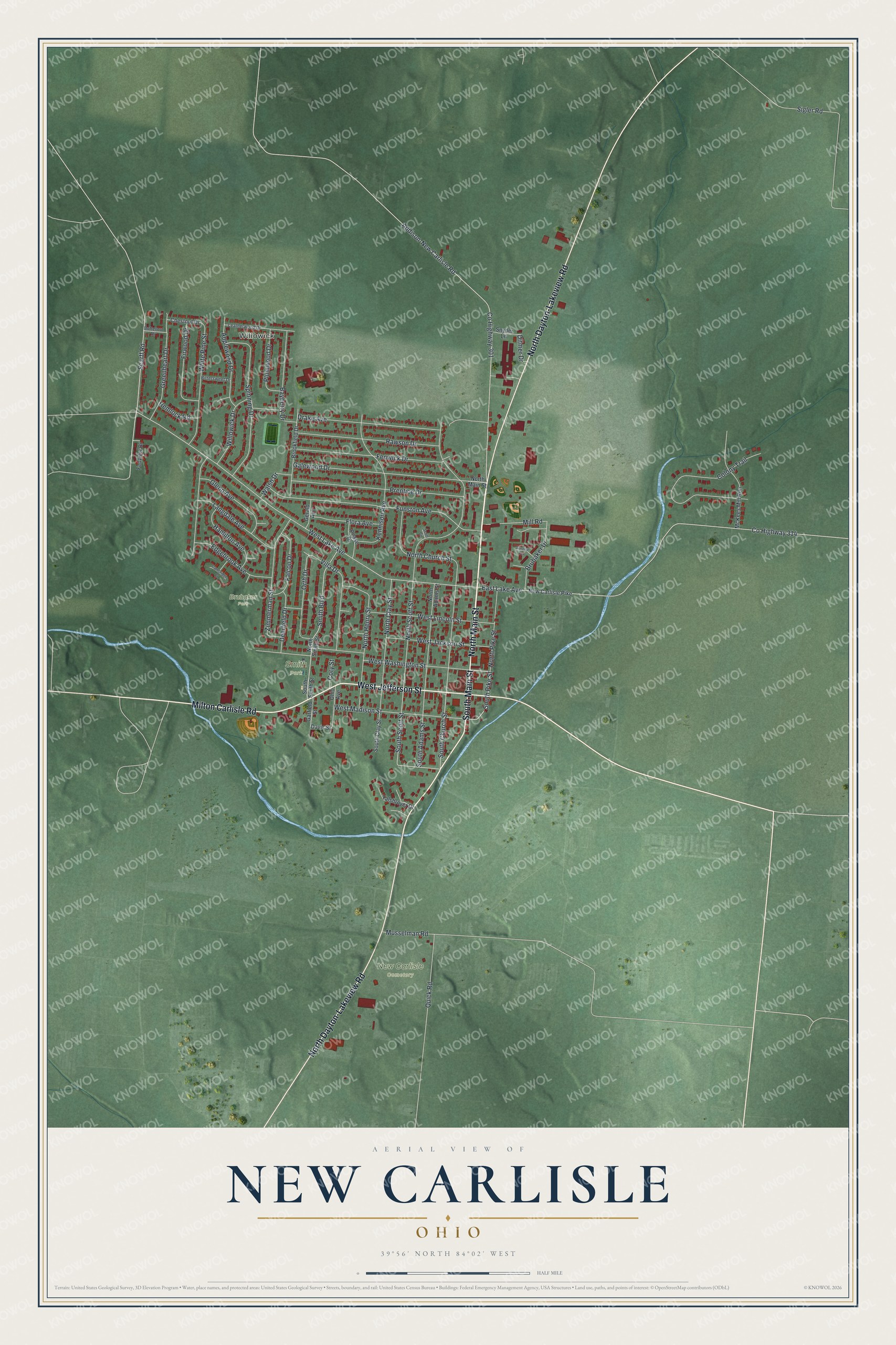
This beautifully detailed map of New Carlisle, Ohio was created in 2026 using aerial imagery combined with modern topographical, census, street and landmark data. It’s a one-of-a-kind view of New Carlisle that combines accurate data with a vintage aesthetic. The map shows every building in its true location, many of the roads carry their names, and the shaded topographic relief shows the shape of the land.
Explore an aerial view of New Carlisle, Ohio
On the map you’ll find Willowick, New Carlisle Cemetery, Brubaker Park, and Smith Park, along with North Main Street, South Main Street, Milton Carlisle Road, West Jefferson Street, North Dayton-Lakeview Road, South Pike Street, South Church Street, South Scott Street, and more. If you look closely you can even find your house accurately drawn in its correct location. Zoom in on the preview to look for yours.
Did you know this piece of New Carlisle, Ohio history?
From the 1881 History of Clark County, Ohio: "New Carlisle was laid out in 1810, by Willlam Reyburn; the first location was about eighty rods west of the present town, and was called York. In 1812. the present plat was laid out, and called Monroe."
Take a closer look at the New Carlisle map
Street and place names on the New Carlisle, Ohio map
These names are printed on the map of New Carlisle, Ohio.
Places: Willowick, New Carlisle Cemetery, Brubaker Park and Smith Park.
Streets and roads: North Main Street, South Main Street, Milton Carlisle Road, West Jefferson Street, North Dayton-Lakeview Road, South Pike Street, South Church Street, South Scott Street, West Lake Avenue, East Lake Avenue, Scarff Road, Addison-New Carlisle Road.
More street names, A to Z
Applewood Drive, Bayberry Drive, Bittersweet Drive, Brookfield Drive, Brubaker Drive, Butternut Drive, Cambridge Court, Chestnut Drive, Colony Trail, Cory Street, County Highway 301, County Highway 314, Davis Street, Deerfield Drive, Ditmer Drive, Drake Avenue, Edgebrook Avenue, Falcon Drive, Fenview Drive, Fenwick Drive, Firwood Drive, Flora Avenue, Funston Avenue, Galewood Drive, Garfield Street, Gerald Avenue, Glenn Avenue, Greenheart Drive, Hamilton Avenue, Hemlock Road, Kennison Avenue, Langdale Avenue, Leatherwood Drive, McKees Mill Run, Mill Road, Musselman Road, New Carlisle Pike, North Adams Street, North Church Street, North Clay Street, North Henry Street, North Pike Street, North Scott Street, North Smith Street, Ohio Avenue, Orth Drive, Pease Drive, Plumwood Drive, Prentice Drive, Quick Road, Rawson Drive, Scott Circle, Sigler Road, Smith Boulevard, Snyder Lane, South Adams Street, South Clay Street, South Smith Street, Spinning Drive, Sunrise Terrace, Talshroyer Drive, Villa Drive, Walsh Drive, West Jackson Street, West Lincoln Street, West Madison Street, West Washington Street, White Pine Street, Willowick Drive, Zimmerman Street.
See the New Carlisle, Ohio map on a wall
The New Carlisle map as an 18 x 24 inch print in a black frame.

This beautifully detailed map of New Carlisle makes an attractive addition to your office, library, or den, and it can even be used to teach children the geography and history of the area. It also makes a great gift for anyone with New Carlisle roots. When you’re done exploring, click here to get your copy of the New Carlisle map.