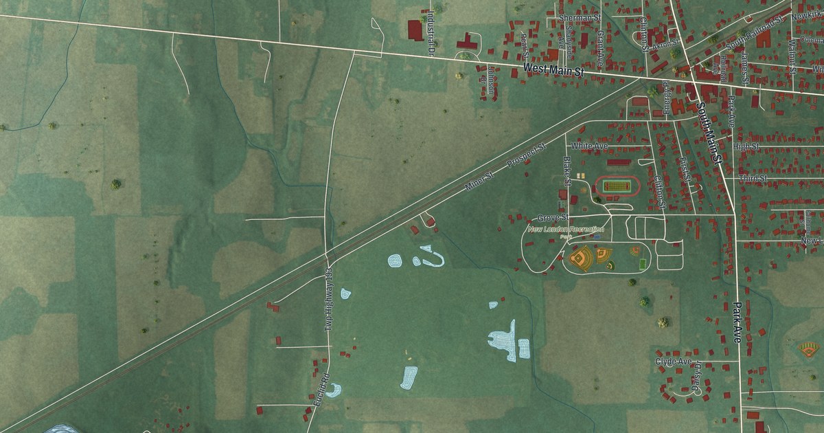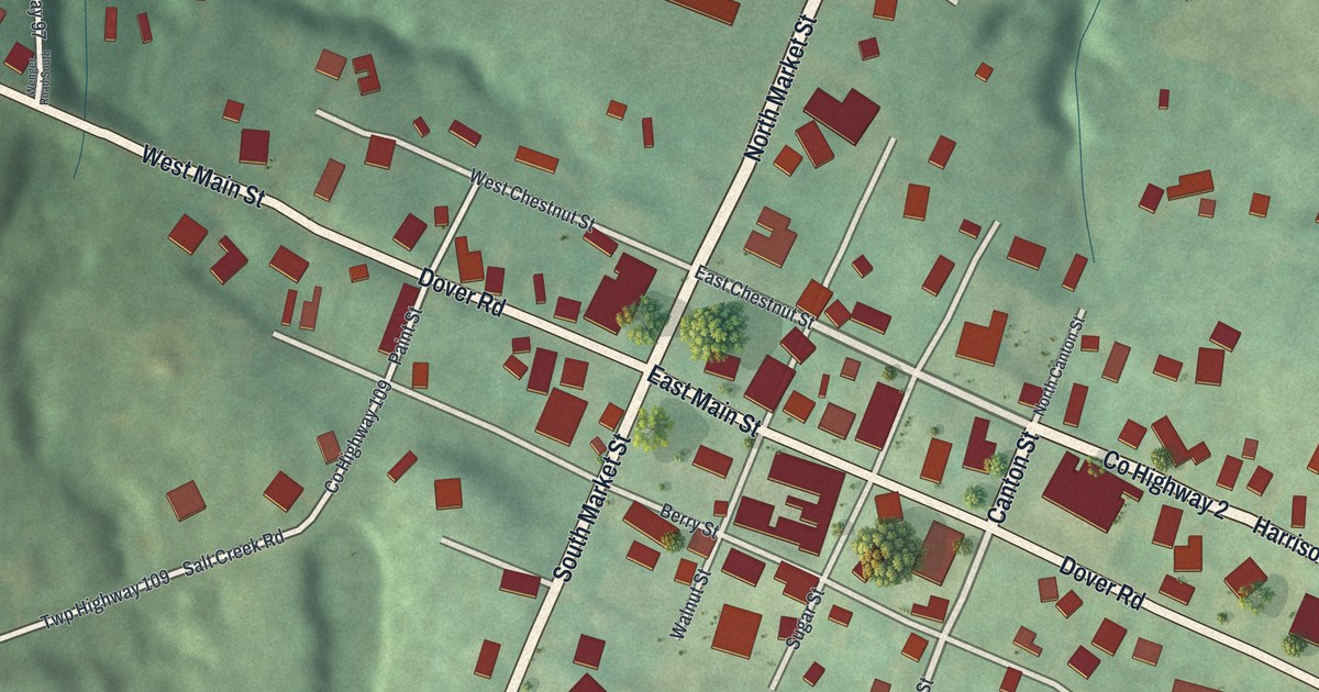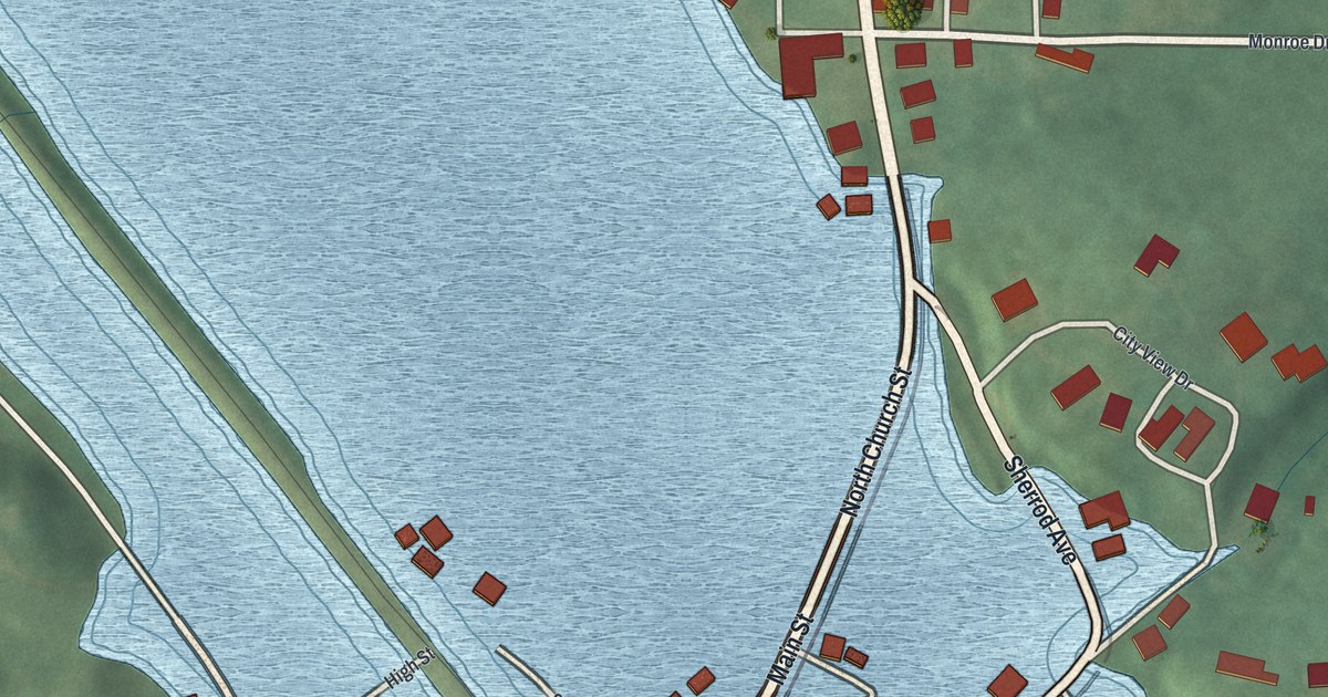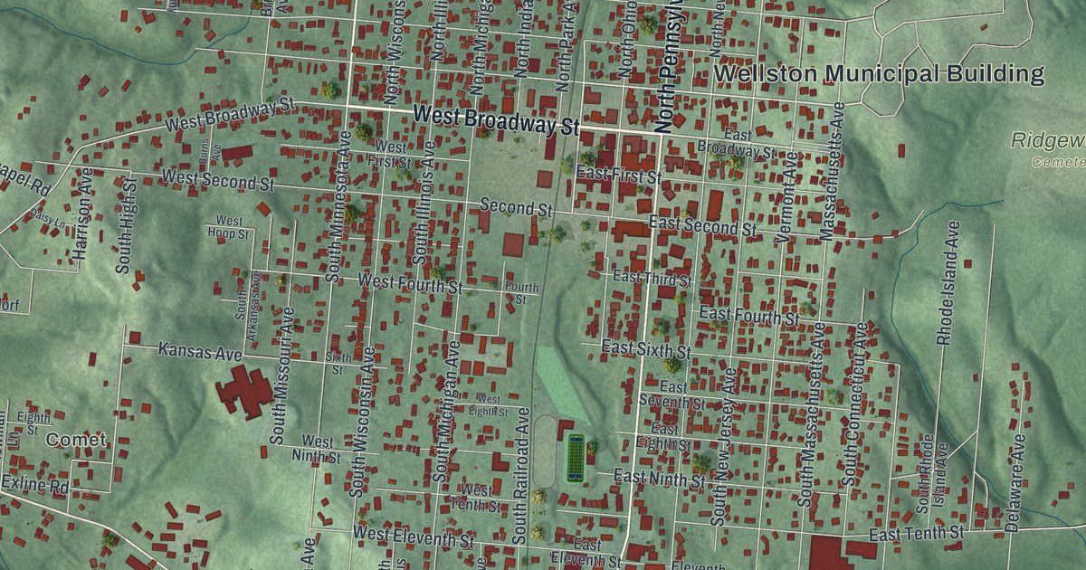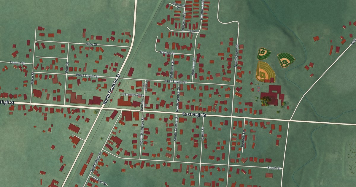
If you grew up in Ashley or still have family on its streets, this map was made with you in mind. It's a new aerial view of Ashley in Delaware County, Ohio, built from modern data and given a vintage look. West High Street and East High Street cross the whole sheet. North Franklin Street cuts through the middle at a slant, with a thin rail line right beside it. About 800 red buildings fill the blocks, and a few ball diamonds sit on the east side of the village.
Ashley's streets, from West High Street to Farmers Alley
On this map you'll find West High Street, East High Street, North Franklin Street, South Franklin Street, South Main Street, Center Street, Vine Street, Farmers Alley, Race Street, North Grove Street, Bell Avenue, Harrison Street, Maplewood Street, Ashley-Westfield Road, and more. Each red shape is a building, so zoom in on the preview and look for yours.
Ashley in 1891: a railroad village with its own newspaper
Henry Howe wrote about Ashley in his Historical Collections of Ohio in 1891. He said the village sat on the C. C. C. & I. railroad. It had four churches: Presbyterian, Methodist, Baptist and Friends. It had a newspaper, The Ashley Times, and a bank. Two factories made regalia and emblems. There was a roller flour mill, too. Howe also said Ashley was known as a place to ship livestock. In 1880, 483 people lived here. The 2020 census counted 1,198. On the map, a rail line runs beside North Franklin Street, right through the middle of town.
A 1908 county history adds a little more. It says the flour mill started in 1875, when the Ashley Milling Company was formed. Today, four buildings in Ashley are on the National Register of Historic Places, all listed in 1980: 101 North Franklin Street, 223 West High Street, 500 East High Street and 505 East High Street.
Keep North Franklin Street and High Street close
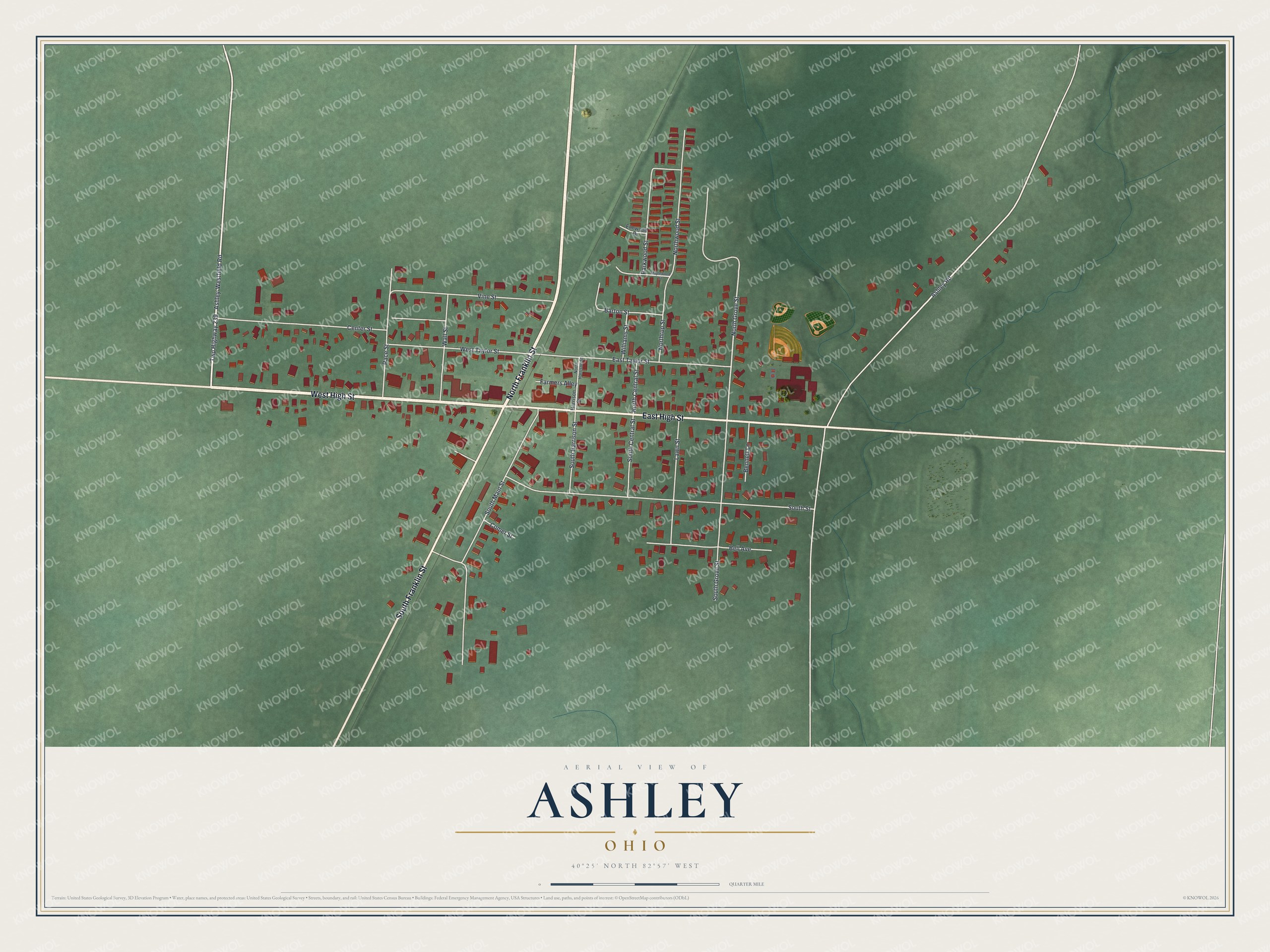
Created by KNOWOL in 2026. The print shows Ashley from above, with red buildings and pale roads on soft green land. The title panel reads "Aerial View of Ashley, Ohio" with 40°25' North 82°57' West below it.
It fits a kitchen, a hallway or a front room. It's a good gift for someone who moved away from East High Street, or for a family that still meets up in Ashley. Open the preview and find your own roof. See sizes and frames for the Ashley map.