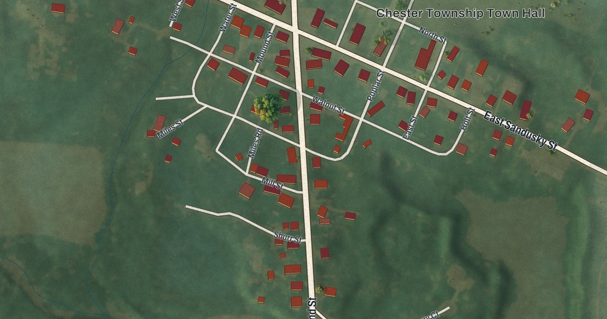
If you grew up near the corner of Portland Street and Sandusky Street, this map will feel like home. It's a new aerial view of Chesterville in Morrow County, Ohio, built from modern data and given a vintage look. Red building shapes gather where the two main streets cross. Green fields and small creeks spread out on every side, and country roads run out past the edge of the village.
Chesterville streets around the Chester Township Town Hall
On this map you'll find North Portland Street, South Portland Street, East Sandusky Street, West Sandusky Street, Chester Township Town Hall, Mill Street, Water Street, Walnut Street, Poplar Street, Mound Street, Miles Street, Denman Avenue, Cardington-Chesterville Road, Quarry Court, and more. Each red shape is a building, so zoom in on the preview and look for yours.
Chesterville was once Miles' Cross Roads
The 1911 History of Morrow County gives the village two names in one line: Chesterville (Miles' Cross Roads). On the map, Portland Street and Sandusky Street cross in the middle of the village, and the Wood Commercial Building and the Old Bartlett and Goble Store are both listed at that corner. The Miles name stayed around, too. It's printed on Miles Street and Miles Road. The Enos Miles House on Portland Street is one of the village's listed historic homes.
Nine National Register buildings on Sandusky and Portland Streets
In August 1979, nine Chesterville buildings were added to the National Register of Historic Places. That's nine for a village of 191 people. Chester Town Hall and the old U.S. Post Office are at Sandusky and South Streets. The Wood Commercial Building and the Old Bartlett and Goble Store are at Sandusky and Portland. The Chesterville Methodist Church is at Sandusky and East Streets. The list also has the Old Union School, the A. B. Sears House, the Jarvis House and the Enos Miles House. All of them sit a short walk from the Chester Township Town Hall label.
Keep Chesterville and Portland Street close
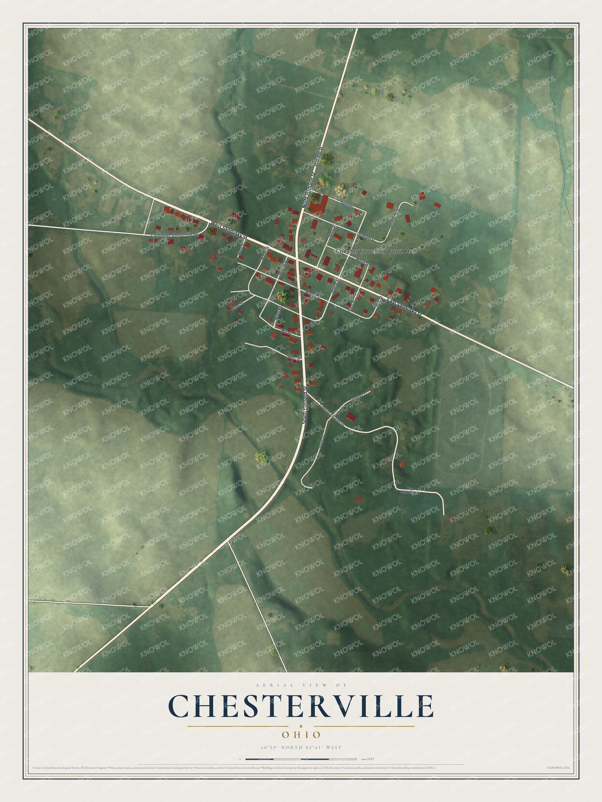
Created by KNOWOL in 2026, this print shows Chesterville from above in soft greens, with red buildings and cream roads across the fields. The title panel reads Aerial View of Chesterville, Ohio, with 40°29' North 82°41' West below it.
It suits a living room, a front hall or a home office. It's a kind gift for someone who grew up near the Chester Township Town Hall and now lives far away. Open the preview and find your own street. See sizes and frames for the Chesterville map.