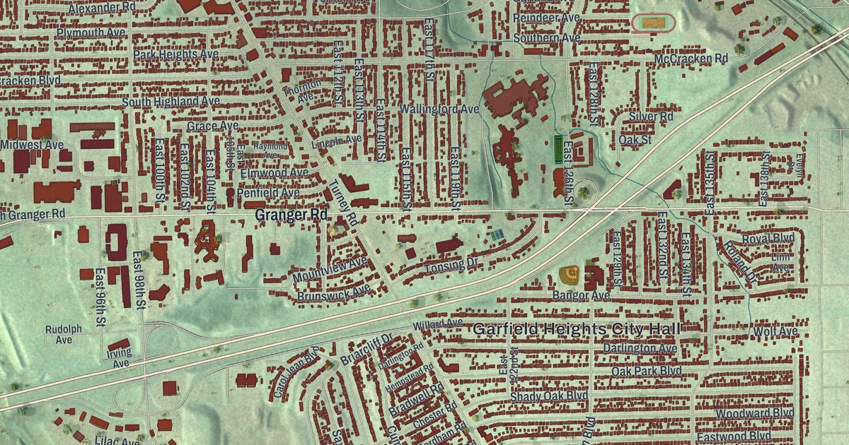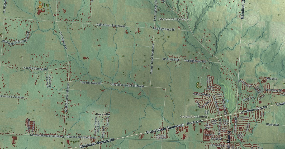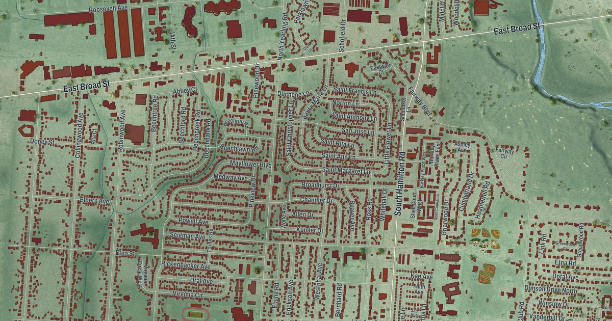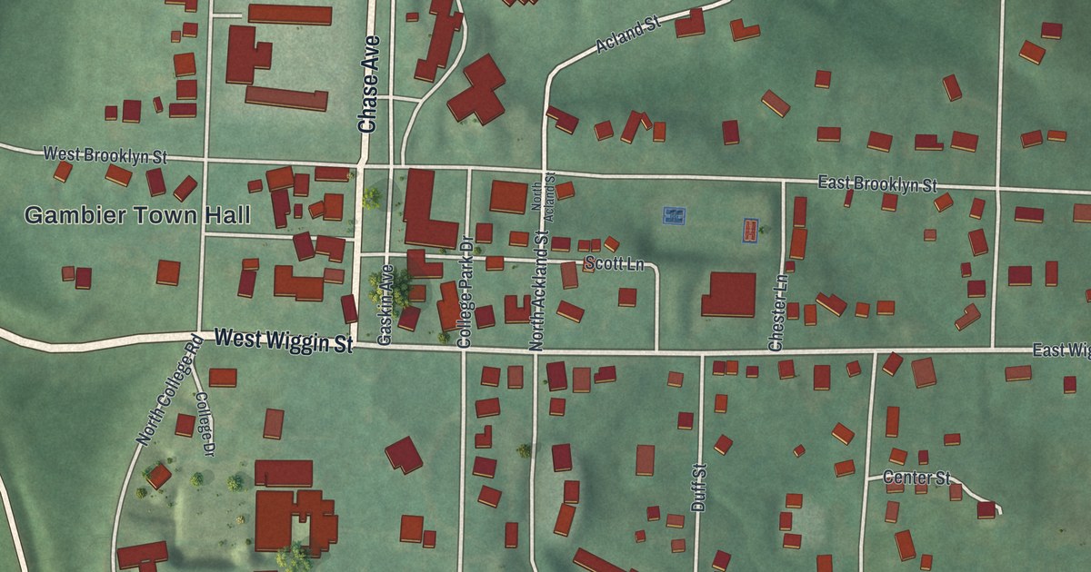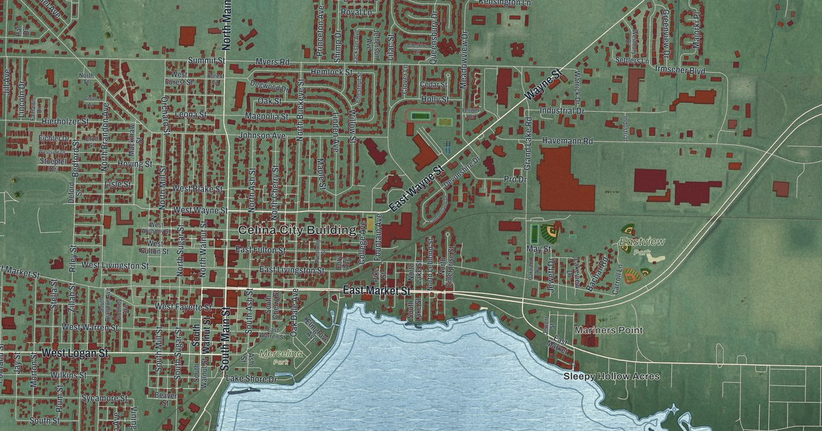
If you grew up in Celina, here's a way to keep your hometown close. This aerial view of Celina in Mercer County, Ohio, uses modern data with a vintage feel. Red buildings fill the town's blocks, and a wide blue lake fills the lower part of the print. You can pick out the streets around Celina City Building and the homes near the shore.
East Market Street and the Riley family
On this map you'll find North Main Street, South Main Street, East Market Street, West Market Street, Celina City Building, Mercelina Park, Eastview Park, Westview Park, Lake Shore Drive, Grand Lake Road, Touvelle Street, Riley Street, and more. Each red shape is a building, so zoom in on the preview and look for yours.
The Riley Home marker tells a family story that reaches back to Celina's start. Captain James Riley surveyed the area in 1819. His son, James Watson Riley, laid out Celina in 1834. James Watson also served as Mercer County's Clerk of Courts. In 1843, he began serving the area in the Ohio General Assembly. The home now holds the Mercer County Historical Society's museum. It represents six generations of the Riley family in the county. Its address is 130 East Market Street, a street you can find among the red buildings on this map.
Celina and Lake Shore Drive on your wall
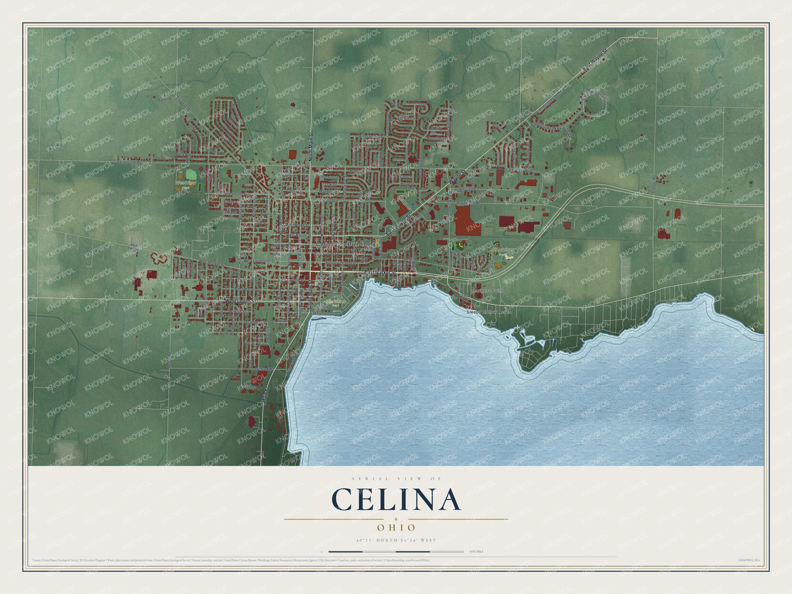
Created by KNOWOL in 2026, the print pairs green land, blue water and red buildings with a cream border. The title panel reads AERIAL VIEW OF CELINA, OHIO, with 40°33' NORTH 84°34' WEST below.
It's a good fit for a living room, office or entryway. Give it to someone who grew up near Mercelina Park or moved away from Celina. Open the preview to find their old block and take a closer look at the shore. See sizes and frames for the Celina map.