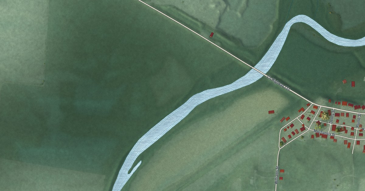
If you grew up on Commerce Street or walked past the old locks in Lock Meadows Park, this map is for you. It's a modern aerial view of Lockbourne in Franklin County, Ohio, made with modern data and given a vintage look. The village sits on the right side of the sheet, a small grid of red buildings along Commerce Street. A wide blue creek curls across the middle. Green fields spread out on every side, and rail lines run down the right edge.
How Lockbourne got its name
On this map you'll find Commerce Street, Canal Street, Lock Street, Kilbourne Lane, Mechanics Street, Denny Street, Landis Street, Miller Street, Plumb Street, Williams Street, Decker Street, Lockbourne Road, Rowe Road, Lock Meadows Park, and more. Each red shape is a building, so zoom in on the preview and look for yours.
Lockbourne's name tells its story. Colonel James Kilbourne laid out the village in 1831. He hoped the canal would bring a boom in trade. So he picked the spot where the Ohio-Erie Canal met the Columbus Feeder. The feeder was finished that same year. The name joins the many canal locks here with Kilbourne's own last name. That's what the Historic Lockbourne marker on Commerce Street says. Both halves of the name are still on the map, in Lock Street and Kilbourne Lane.
Eight canal locks in Lockbourne
The main canal was built from 1825 to 1832. It ran 308 miles, from Lake Erie at Cleveland to the Ohio River at Portsmouth. Lockbourne was one of its busiest spots. It had a staircase of eight lift locks, numbered 23 through 30, and two canal basins. In those years the village had the Canal House Hotel, several taverns, a stock yard and a distillery. It also had a sawmill and a gristmill. The gristmill ran on the water at Lock 30.
Lock 30 in Lock Meadows Park
Today Lock Meadows Park holds what's left of Lock 30. It also holds the old guard lock on Big Walnut Creek. That lock kept flood water out of the main canal. The lock tender's house once stood right next to Lock 30. The park entrance is on the north side of Commerce Street, where it meets Denny Street.
Commerce Street and Lock Meadows Park on your wall
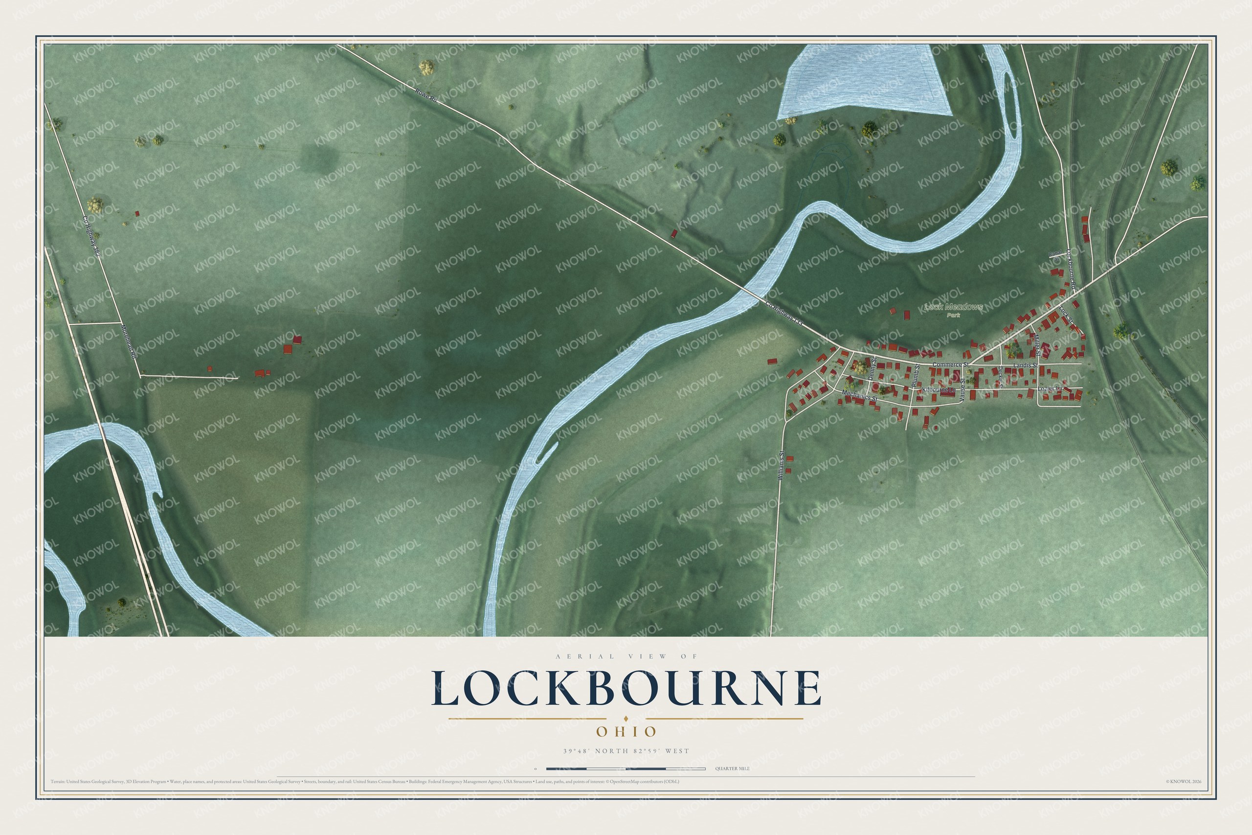
Created by KNOWOL in 2026, this print shows Lockbourne from above in soft greens and blues, with the buildings in red. The title panel reads "Aerial View of Lockbourne, Ohio" with the coordinates 39°48' North 82°59' West.
It fits a living room, a hallway or a home office. It's a good gift for someone who grew up near Lock Meadows Park and moved away, or for a family with roots on Commerce Street. Open the preview and find your street. See sizes and frames for the Lockbourne map.