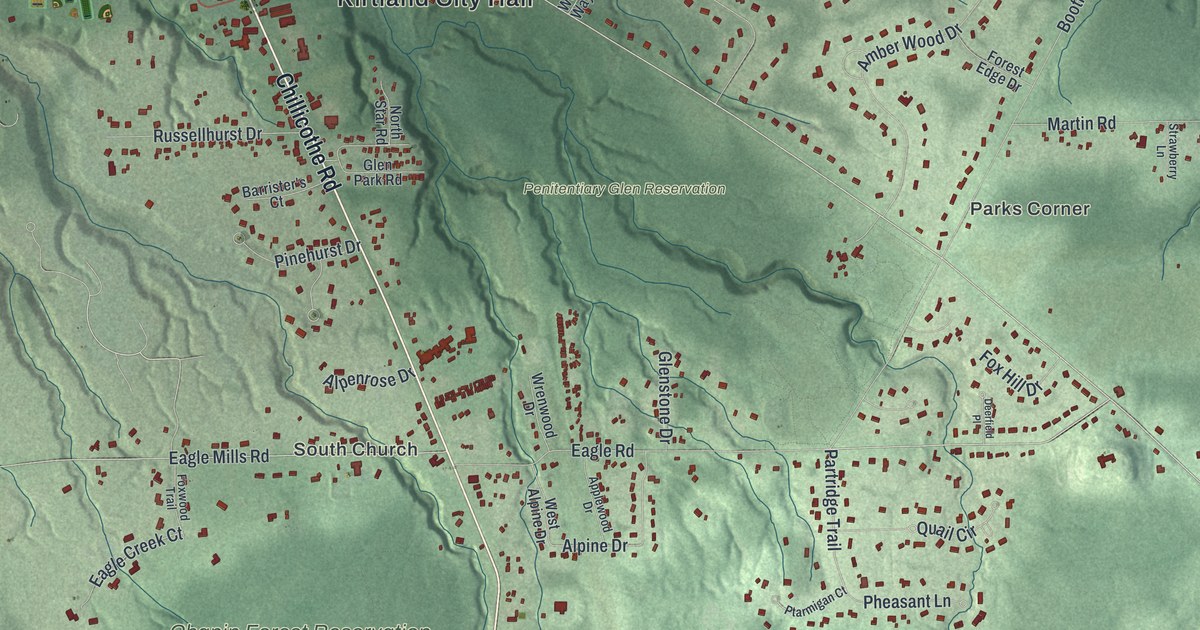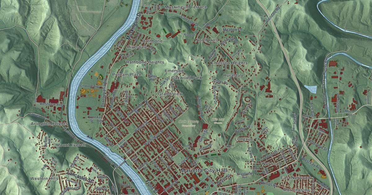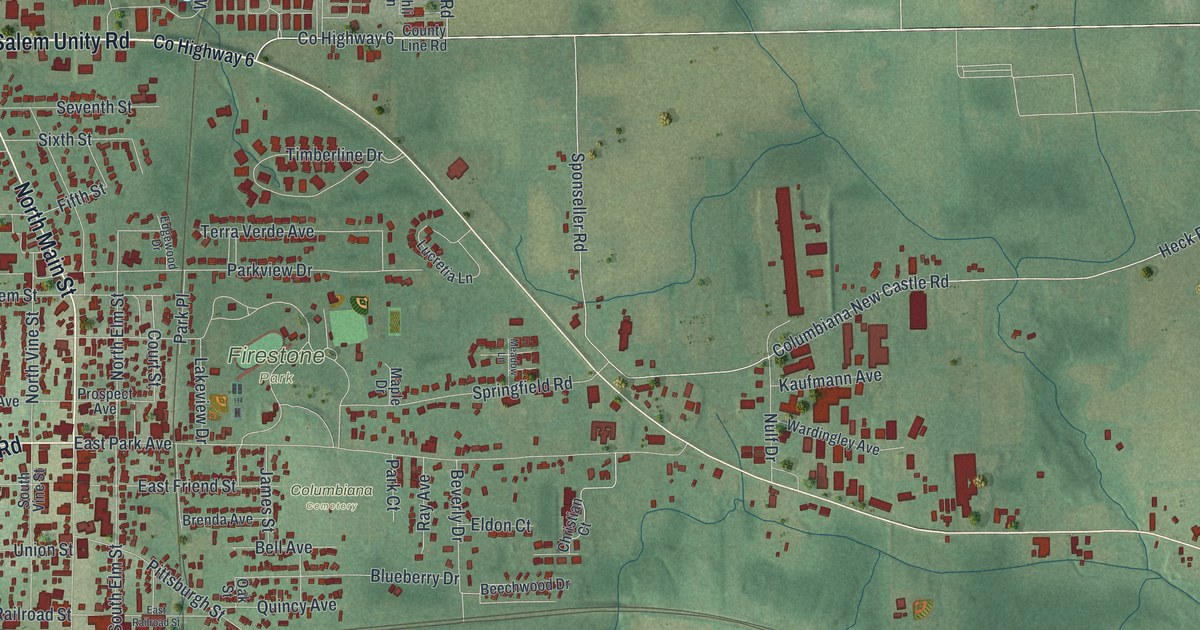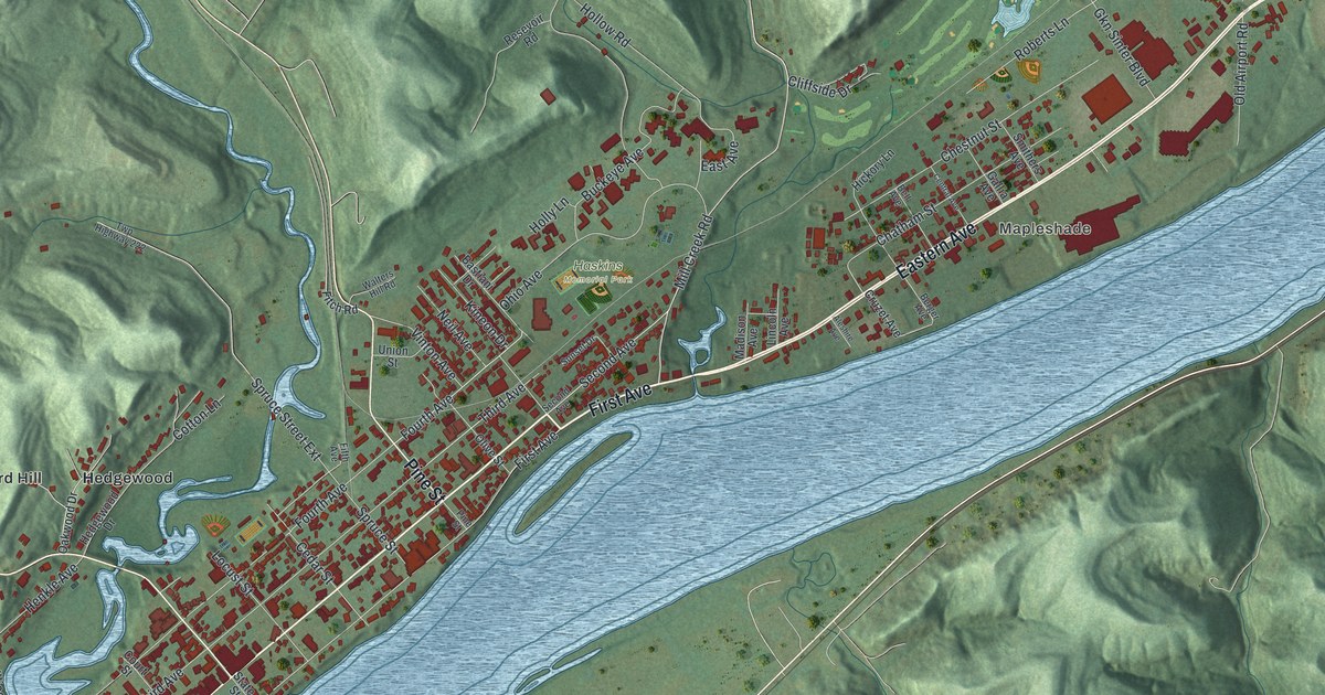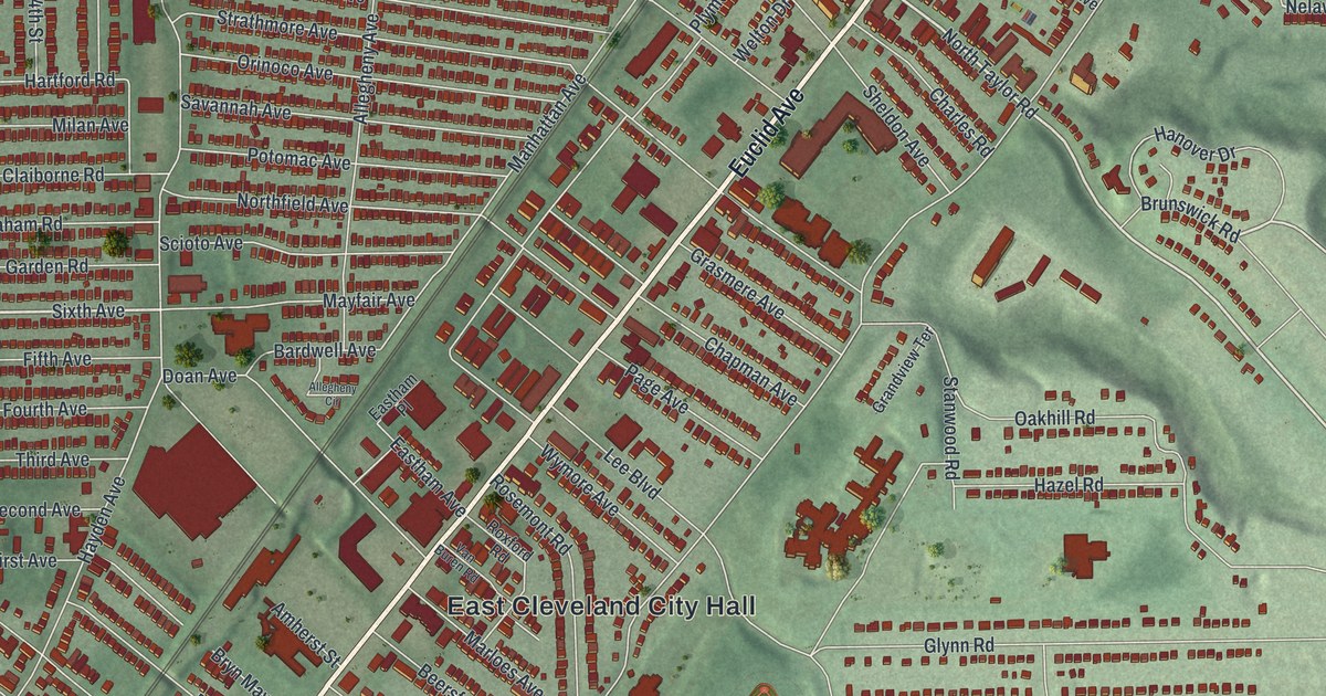
If you grew up on a side street off Euclid Avenue, or checked out your first library book in East Cleveland, this map is for you. It's a modern aerial view of East Cleveland in Cuyahoga County, made from modern data and given a vintage look. Euclid Avenue crosses the whole sheet, lined with thousands of small red buildings. East Cleveland City Hall sits near the center. The green of Forest Hill Park and Lake View Cemetery spreads across the lower part of the map, and Nela Park is up near the top.
Euclid Avenue and the streets around it
On this map you'll find Euclid Avenue, Superior Avenue, Hayden Avenue, Shaw Avenue, Noble Road, Terrace Road, Taylor Road, Coit Avenue, East Cleveland City Hall, Nela Park, Pattison Park, Shaw Rink Park, Forest Hill Park, Lake View Cemetery, Collamer, and more. Each red shape is a building, so zoom in on the preview and look for yours.
How the East Cleveland Public Library was built
The city's library has a good story. On November 12, 1913, the library board met in the school board's office. Plans for a new building were already underway. The Carnegie Corporation of New York gave money toward it. John D. Rockefeller paid for land so the library could grow later. The National Electric Lamp Association, now GE Lighting, gave 129 light bulbs for the lights inside. The library opened on May 29, 1916. It still stands as an original Carnegie library, says the Ohio historical marker there.
The library's address is 14101 Euclid Avenue, so its block is right on the main street of the map. Euclid Avenue holds more history too. Three of its buildings in East Cleveland are on the National Register of Historic Places: the Garfield Terrace Apartments, St. Paul's Episcopal Church and the First Church of Christ in Euclid. Up near the top of the sheet, look for Nela Park and the streets around it, like Nela Avenue, Nelacrest Road and Nela View Road.
East Cleveland, from Pattison Park to Nela Park
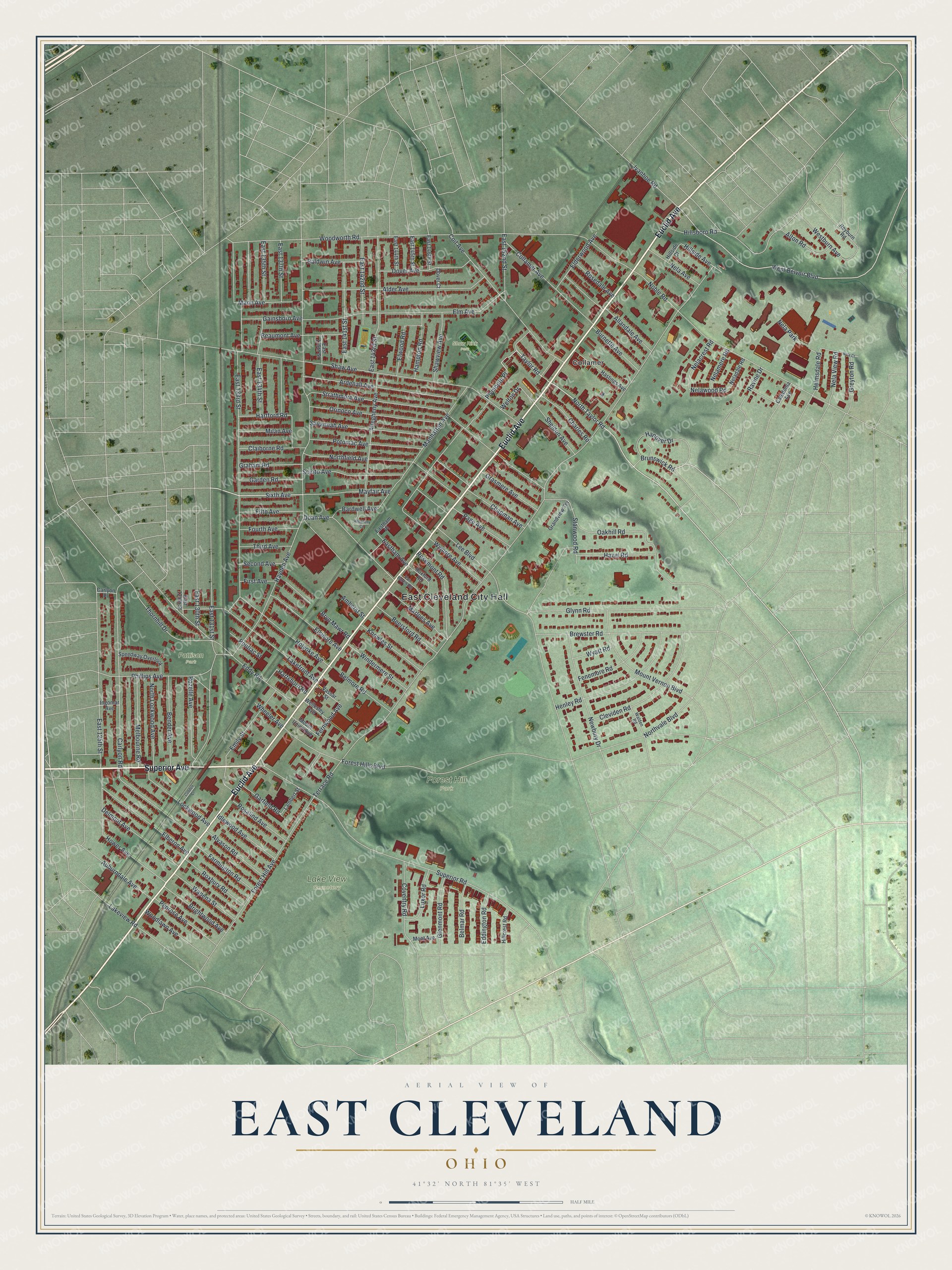
Created by KNOWOL in 2026, this print shows East Cleveland from above, with red buildings on soft green land that's shaded to show the hills and ravines. The title panel reads AERIAL VIEW OF EAST CLEVELAND, OHIO, with 41°32' NORTH 81°35' WEST printed below.
It suits a living room, a hallway or a home office. It's a kind gift for someone who grew up near Forest Hill Park or spent afternoons at the library on Euclid Avenue and has since moved away. Open the preview and find your own street. See sizes and frames for the East Cleveland map.