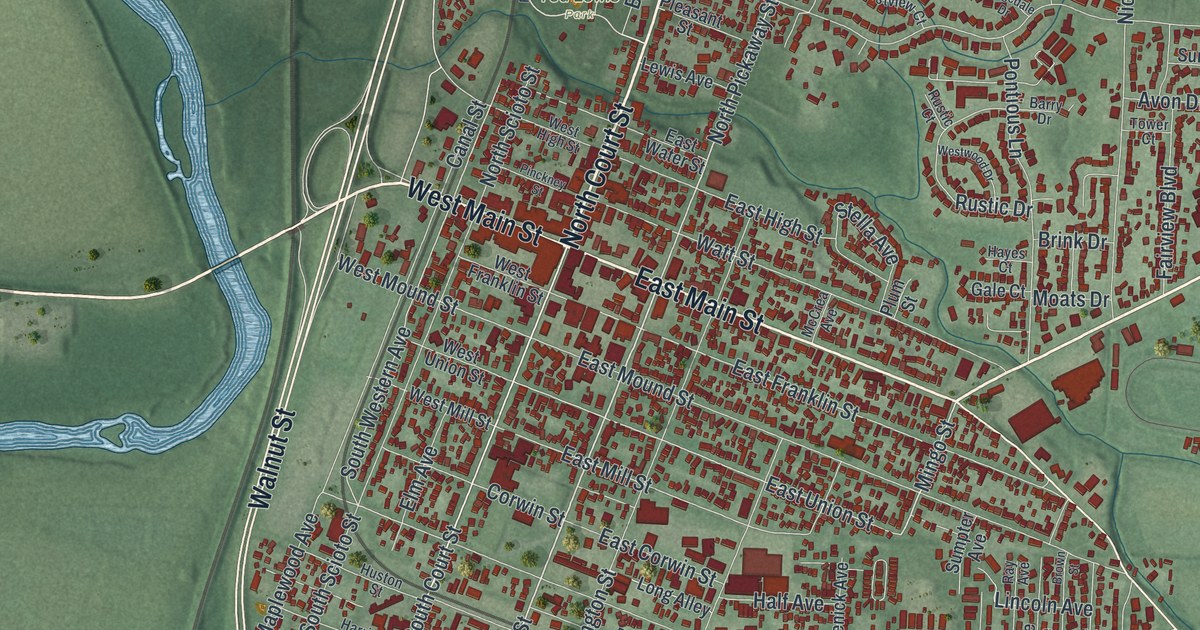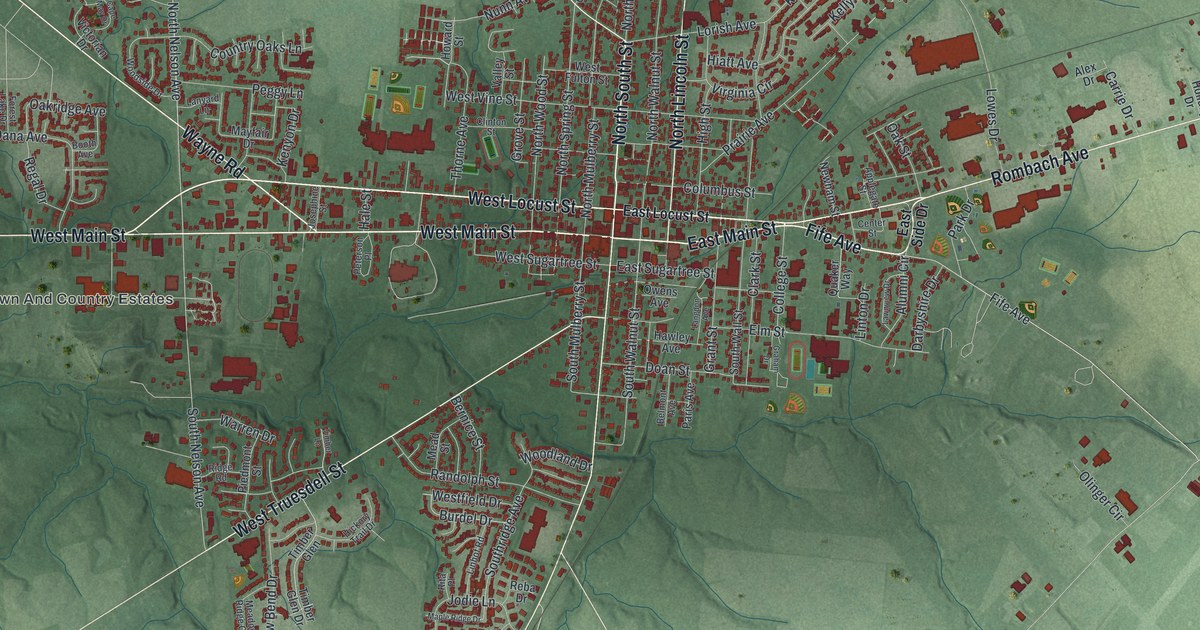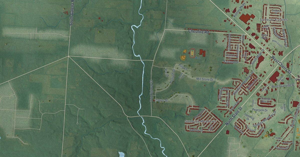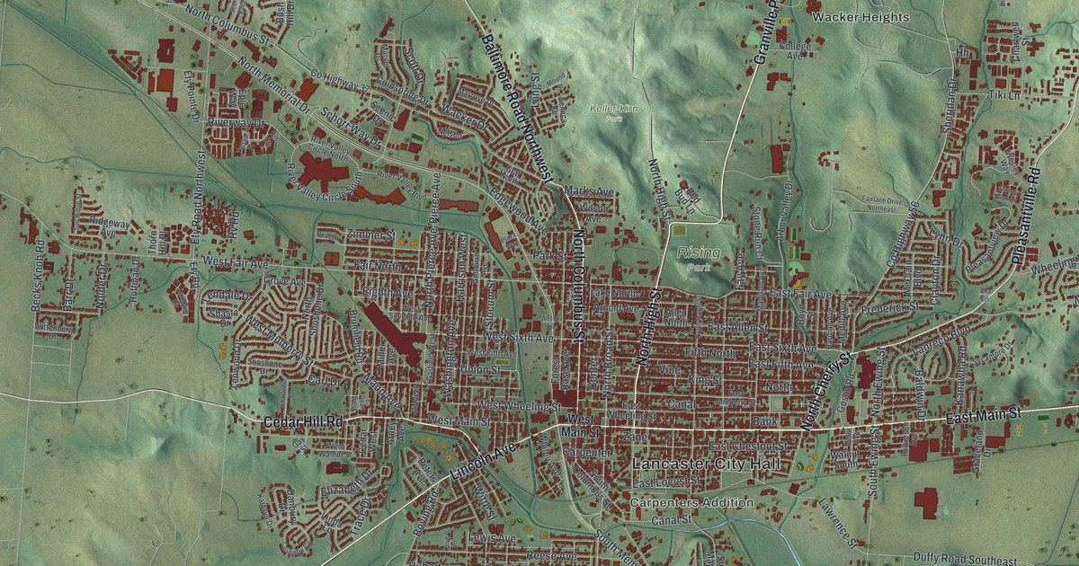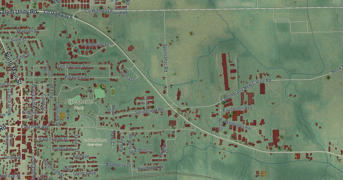
If you grew up going to the pool at Firestone Park, or you still have family near North Main Street, this map is for you. It's a new aerial view of Columbiana in Columbiana County, Ohio, made with modern data and given a vintage look. You'll see the town's streets and red building shapes in the middle, with green hills and farm fields all around. A small pond sits at the north edge of town. A long blue lake runs down the top right corner.
Harvey Firestone and Firestone Park
On this map you'll find North Main Street, South Main Street, East Park Avenue, Pittsburgh Street, Firestone Park, Columbiana Cemetery, Southern Terrace Park, Columbiana Lisbon Road, Salem Unity Road, Fairfield School Road, East Duquesne Street, Union Street, Market Street, West Railroad Street, and more. Each red shape is a building, so zoom in on the preview and look for yours.
Harvey S. Firestone was born on a farm near town in 1868. He went to school in Columbiana. That comes from the Ohio historical marker in Firestone Park. In 1900 he started the Firestone Tire and Rubber Company. Soon after, he found a way to make tires in large numbers. The car business was brand new then. Steady deals with big carmakers kept his company strong. The marker calls Firestone Park his lasting legacy to Columbiana. You'll find the park printed near the center of the map. The Firestone family's monument stands close by in Columbiana Cemetery.
The Log House Museum on the town square
Another marker stands at the Log House Museum on the town square. Its address is 10 East Park Avenue, the same street as Firestone Park. Joshua Dixon picked this spot in 1805 as the center of Columbiana. The first local post office opened here in 1809. In 1837, it led the way in free mail delivery. The log home was moved to the square in 1975. People in town fixed it up together. It became a museum and the town's Bicentennial headquarters. On Pittsburgh Street, the Jones-Bowman House at number 540 joined the National Register of Historic Places in 1976.
Columbiana from Firestone Park to Fairfield School Road
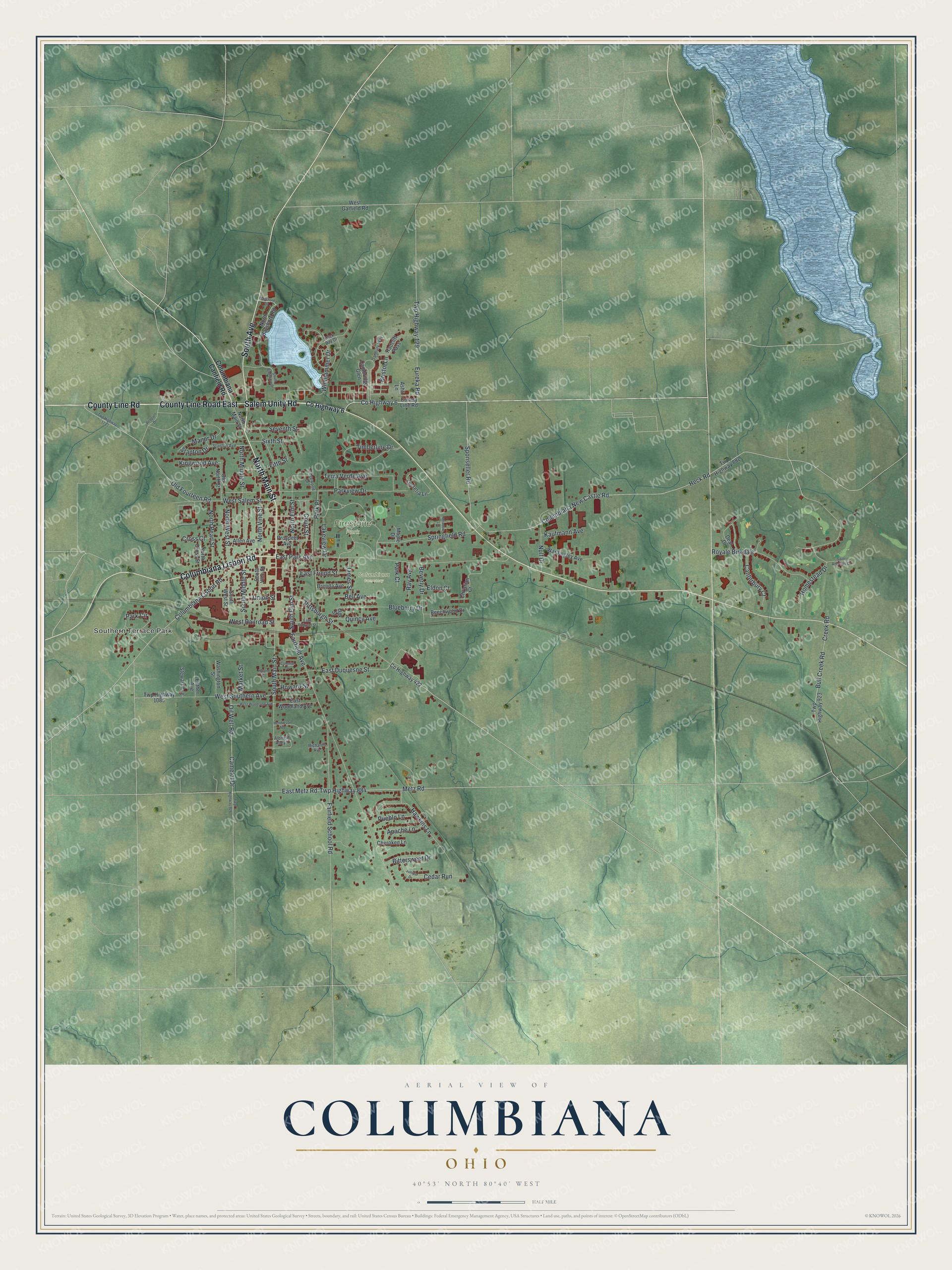
Created by KNOWOL in 2026, this print shows Columbiana from above in soft greens, with shaded hills, blue water and red buildings. The title panel at the bottom reads Aerial View of Columbiana, Ohio, with the coordinates 40°53' North 80°40' West.
It fits a living room, a front hall or a home office. It's a good gift for anyone who grew up near Firestone Park, or for a friend who moved away from Columbiana. Open the preview and find your street. See sizes and frames for the Columbiana map.