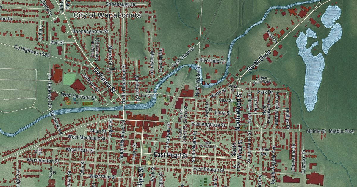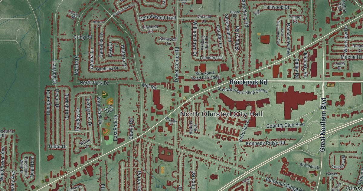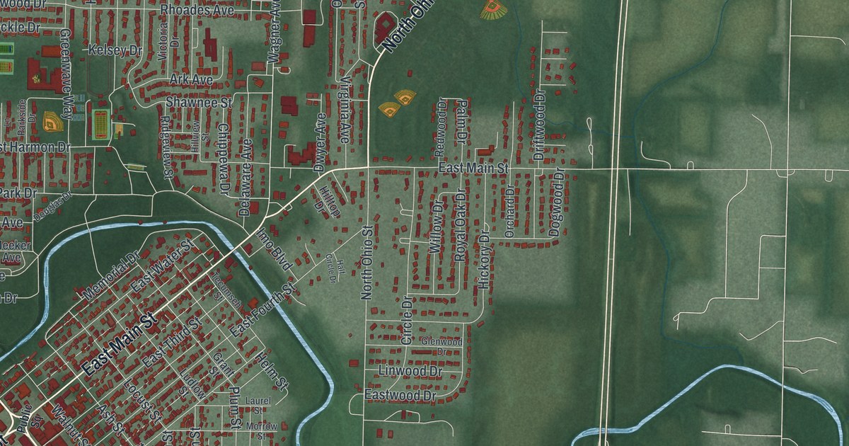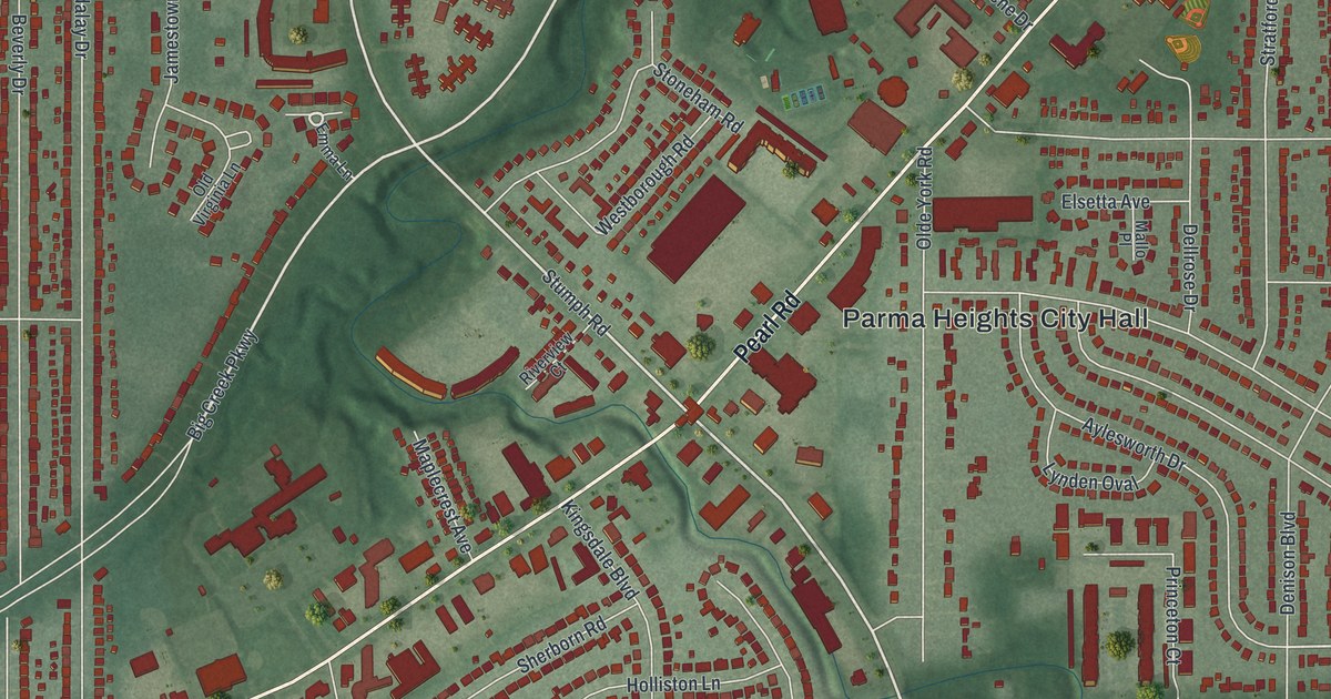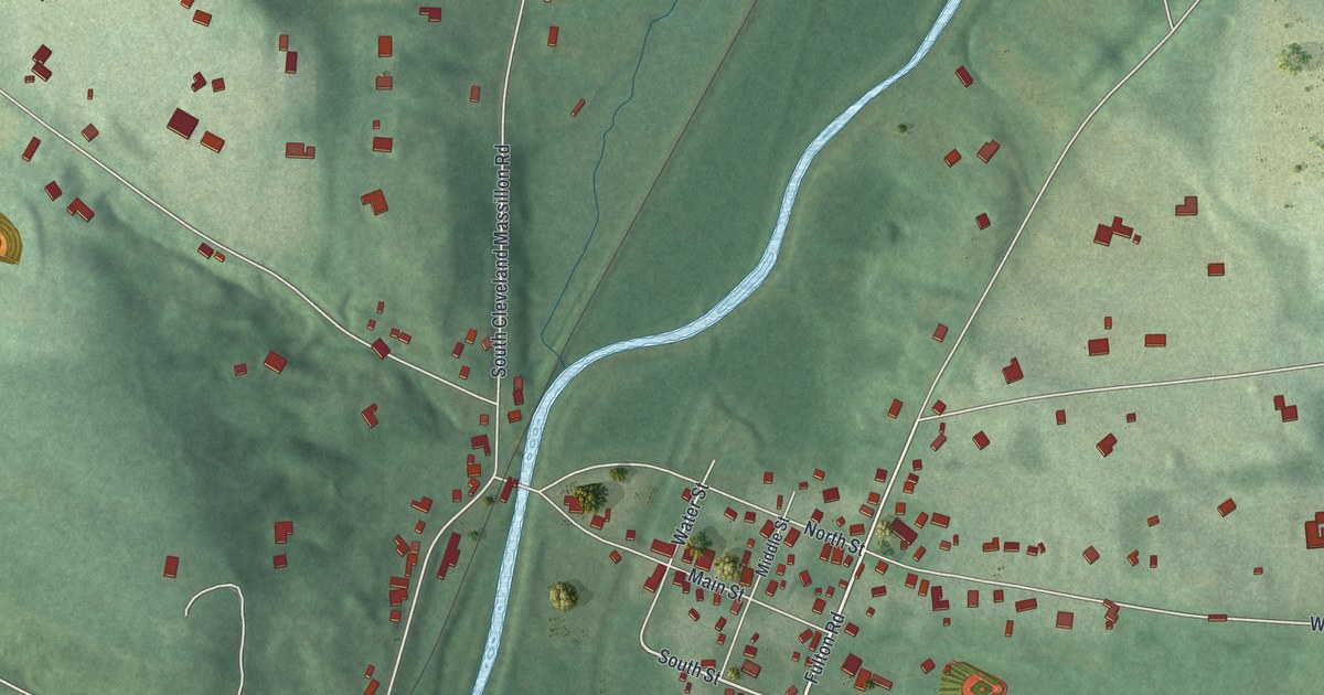
If you grew up on Main Street or Hickory Street in Clinton, or your family still lives out in Warwick, this map was made with you in mind. It's a modern aerial view of Clinton in Summit County, Ohio, built from modern data and given a vintage feel. A blue river runs up the middle of the sheet. The village's streets sit on its east bank, and Warwick's short blocks sit to the west. Two lakes, rail lines and more than 1,000 red buildings fill in the rest.
Clinton and the Massillon Branch Railroad
On this map you'll find Main Street, South Cleveland Massillon Road, Hickory Street, North Street, Warwick Road, West Comet Road, West Nimisila Road, Van Buren Road, Luna Lake Drive, South Lakeshore Drive, Deibel Road, Serfass Road, Clinton Cemetery, Ohio Veterans Memorial Park, and more. Each red shape is a building, so zoom in on the preview and look for yours.
In 1891, Henry Howe named Clinton as one of the prominent villages of Summit County. Ten years before that, William Henry Perrin wrote the History of Summit County. He told how the railroads came through. The Massillon & Cleveland Railroad was built as a branch of a bigger line. Most people called it the Massillon Branch. Perrin wrote that it ran from Clinton, in Summit County, to Massillon, in Stark County. That was a trip of "some eight or ten miles" only. Perrin also wrote about the Clinton Line Railroad Company, set up in 1852. That line was named for De Witt Clinton, the man behind the Erie Canal. You can still see rail lines cross the west side of the map near Warwick.
Main Street, Hickory Street and the Warwick Interlocking Tower
The National Register lists ten places in Clinton. Four of them are on Main Street. They include the Sorrick-Oster Store and the Limbach Block, a row of six buildings from 7843 to 7853 Main Street. Two more are on Hickory Street: the Louis Schmitt House and Store and the Francis Becker House. There's the Porter-Aue House on North Street and the Humberger House on North Second Avenue, too. The Warwick Interlocking Tower, a railroad building, is at 2955 South First Street. Nine of the ten were listed in 2001 and 2002.
Keep Main Street and Warwick close
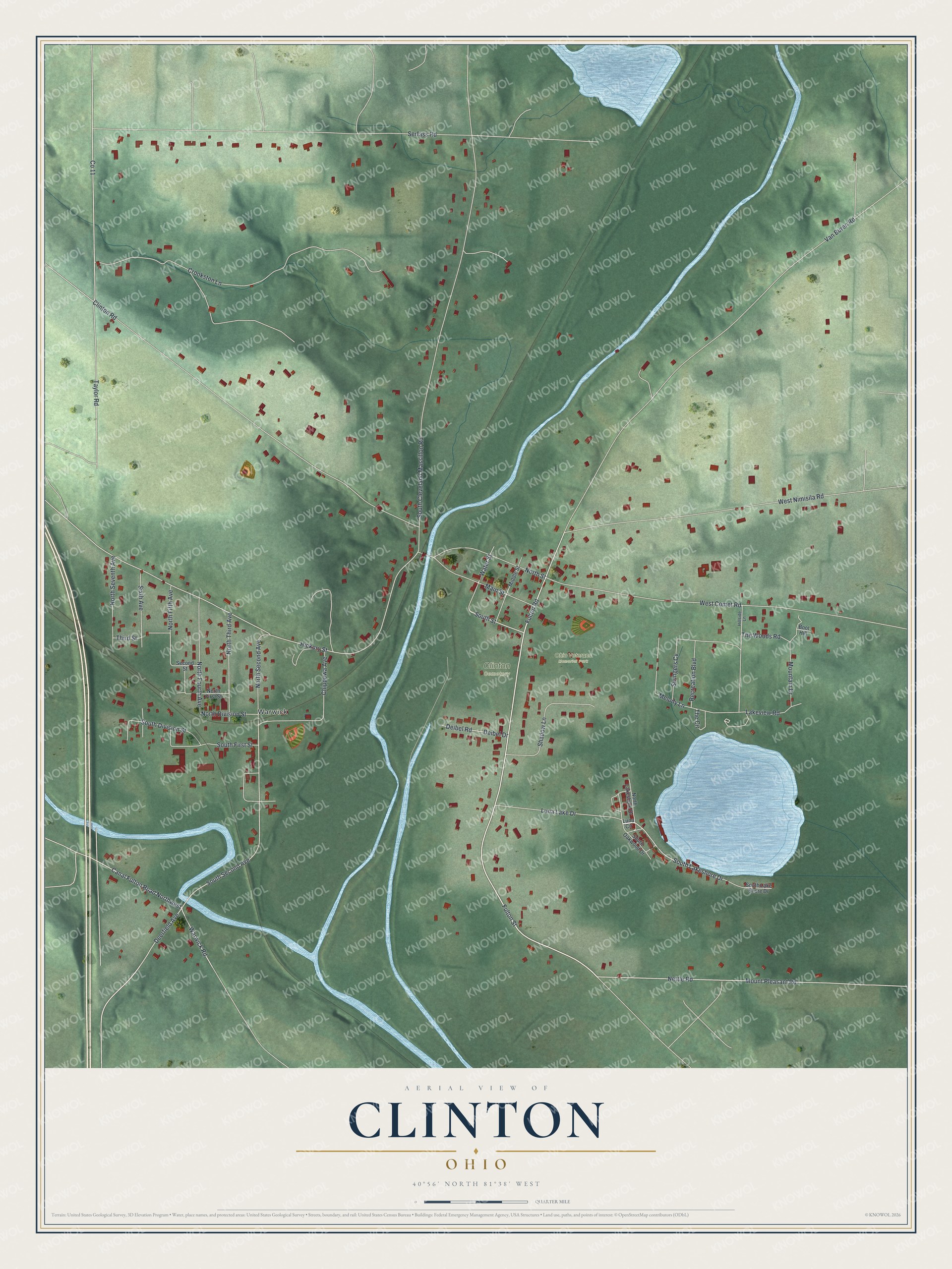
Created by KNOWOL in 2026, this print shows Clinton from above in soft greens and blues, with the buildings in red and the river and lakes in pale blue. The title panel reads "Aerial View of Clinton, Ohio" with the coordinates 40°56' North 81°38' West.
It fits a living room, a hallway or a home office. It's a good gift for someone who grew up near the Limbach Block on Main Street, or who moved away from Warwick and misses it. Open the preview and find your own street. See sizes and frames for the Clinton map.