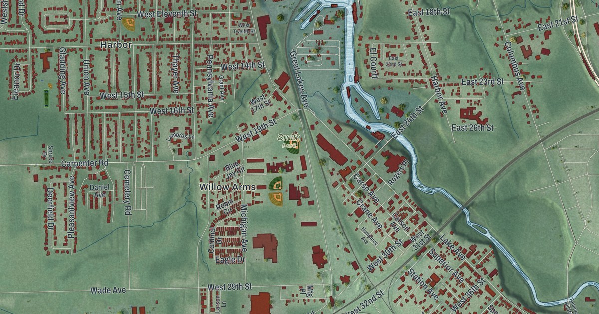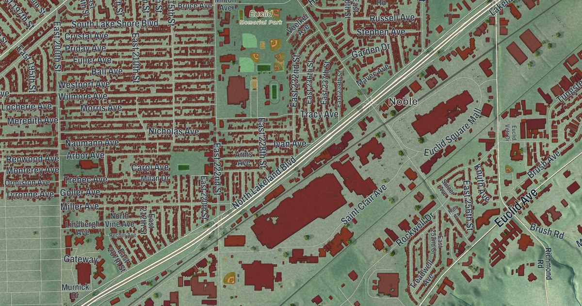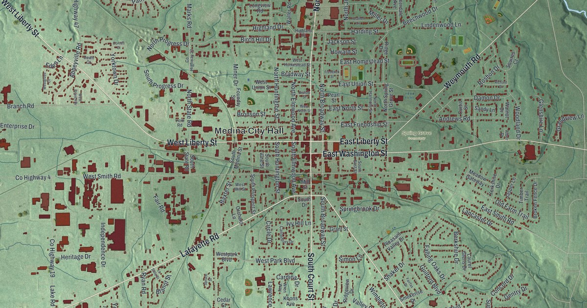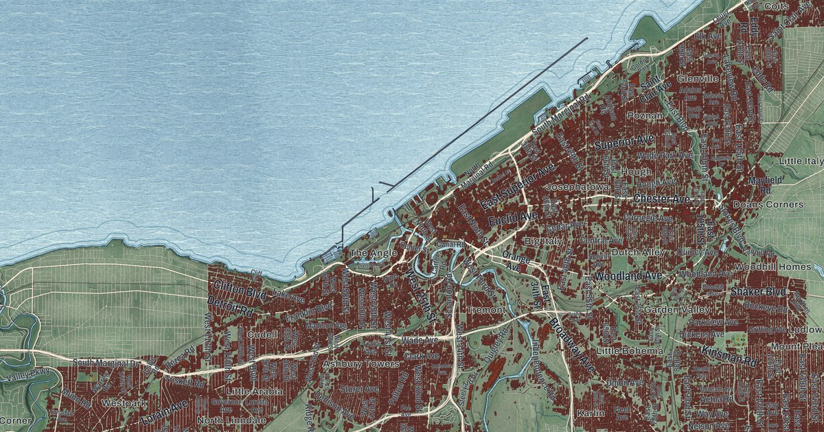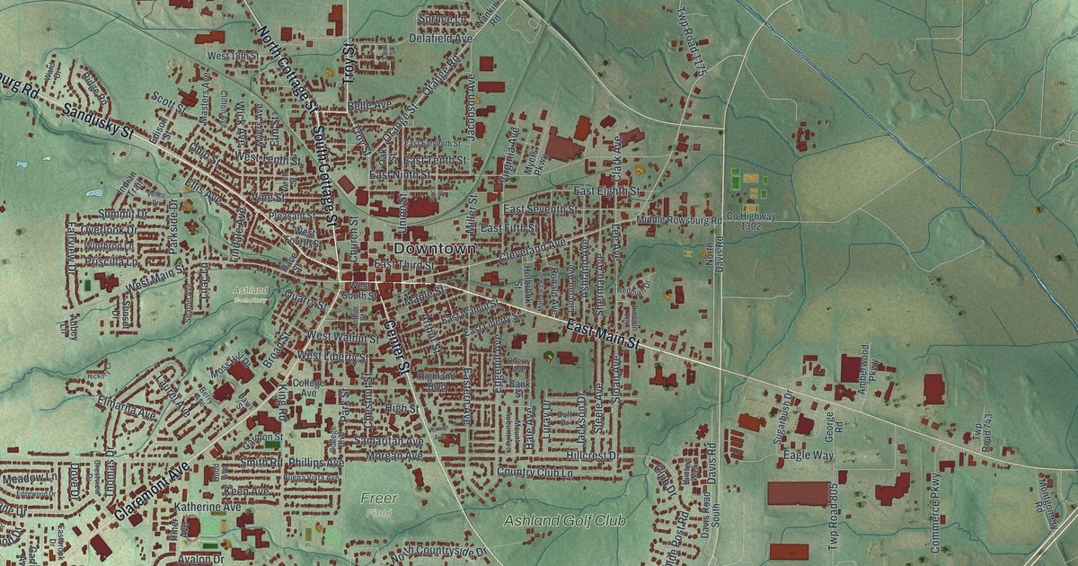
If you grew up in Ashland, or came here for college and stayed a while, you'll know these streets. This is a modern aerial view of Ashland in Ashland County, Ohio, made from modern data and given a vintage look. Downtown sits at the center, packed with red buildings. Main streets reach out from it past Freer Field, Ashland Cemetery and Ashland Golf Club. Soft green hills and thin blue creeks fill the land all around town.
Claremont Avenue, Downtown and Freer Field
On this map you'll find Claremont Avenue, East Main Street, West Main Street, Sandusky Street, North Cottage Street, South Cottage Street, Center Street, Broad Street, Arthur Street, College Avenue, Cleveland Avenue, Downtown, Freer Field, Ashland Cemetery, Ashland Golf Club, and more. Each red shape is a building, so zoom in on the preview and look for yours.
How Ashland College got its start
Ashland College started as a hope held by members of the German Brethren Church. In March 1877, they met at the Maple Grove Brethren Church to talk about a college in Ashland. A town meeting came that June. People in town agreed to help raise ten thousand dollars. The charter was approved on February 20, 1878, and a site for the campus was picked. The college opened in 1879 with two buildings, eight teachers and 60 students. Two years later, four young men made up the first graduating class. That's the story told on a Remarkable Ohio marker in town.
The marker stands at 820 Claremont Avenue, by the Convocation Center parking lot off Broad Street. Both streets are on the map, so you can find the spot. The marker also carries the name of the Ashland Eagles tradition.
National Register buildings near Downtown Ashland
Three buildings in the heart of town are on the National Register of Historic Places. The Ashland County Courthouse was listed in 1979. The Myers Block, also called the Home Company Building, stands at 1 East Main Street. It was listed in 1997. The Arthur Street School, at 416 Arthur Street, joined the list in 2021.
Downtown Ashland on your wall
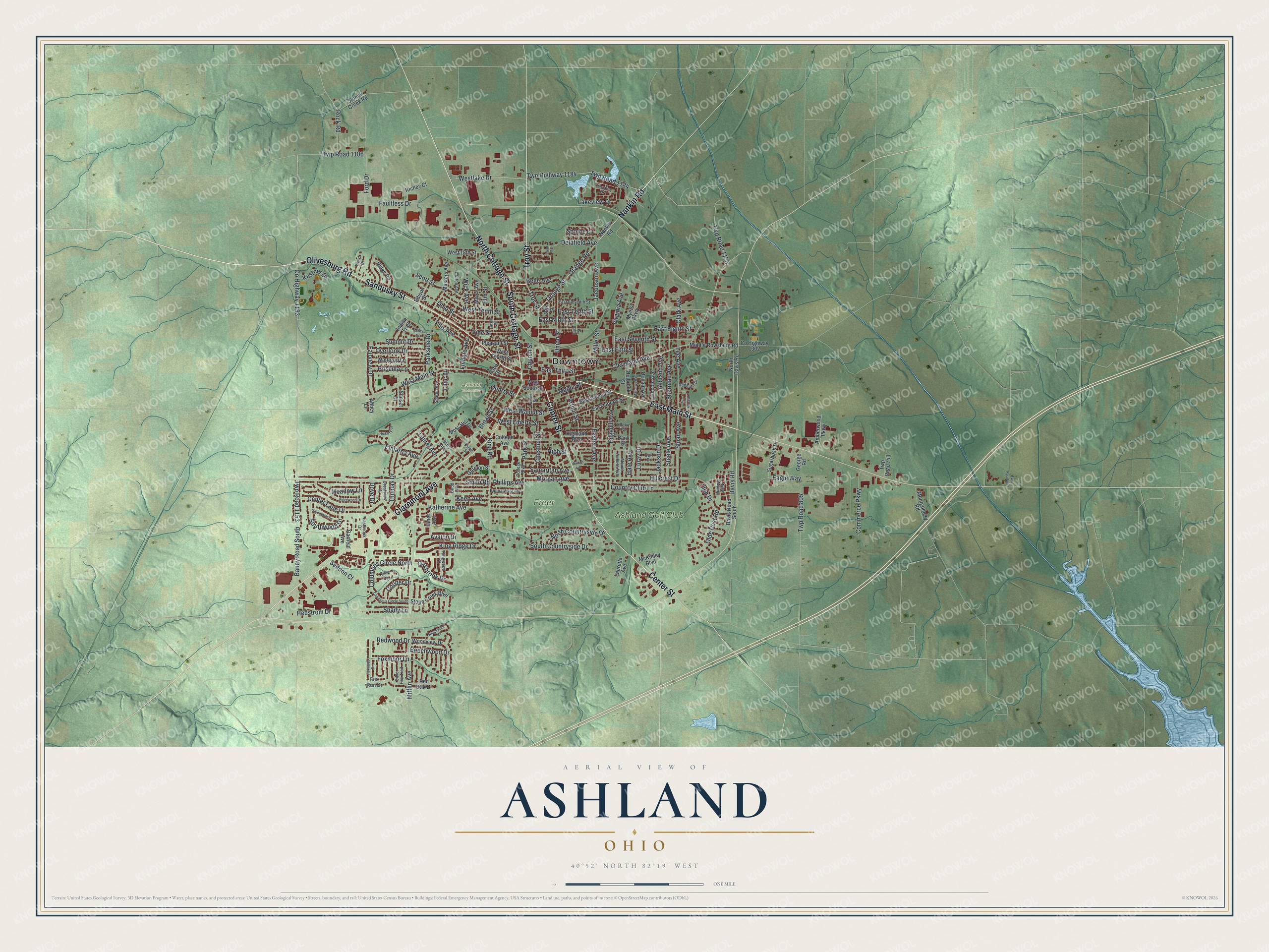
Created by KNOWOL in 2026, this print shows Ashland's streets and deep red buildings over soft green hills cut by thin blue creeks. The title panel reads "Aerial View of Ashland, Ohio" with the coordinates 40°52' North 82°19' West.
It suits a living room, a hallway, a home office or a dorm room. It makes a good gift for an Ashland College graduate, or for someone who grew up near Freer Field and moved away. Open the preview and find your own street. See sizes and frames for the Ashland map.