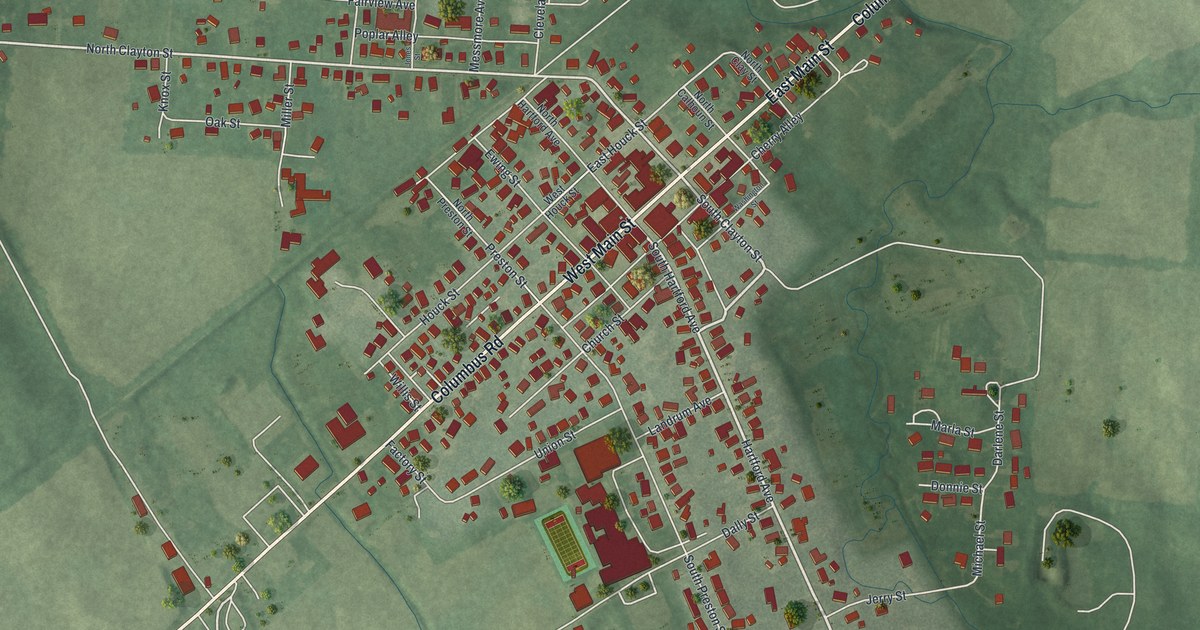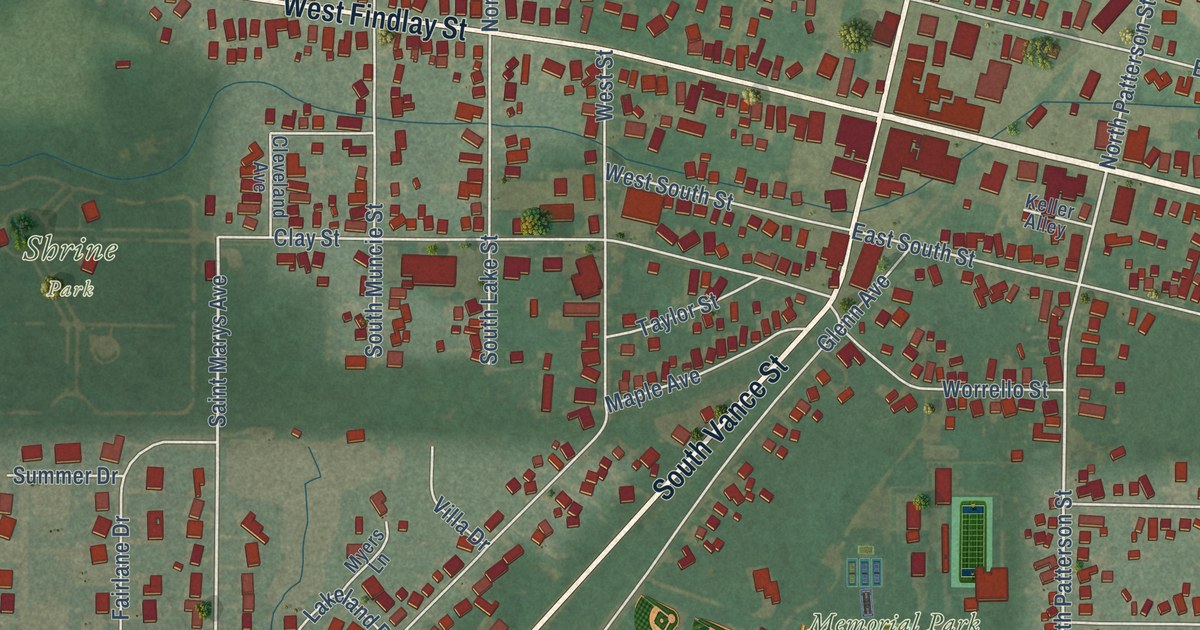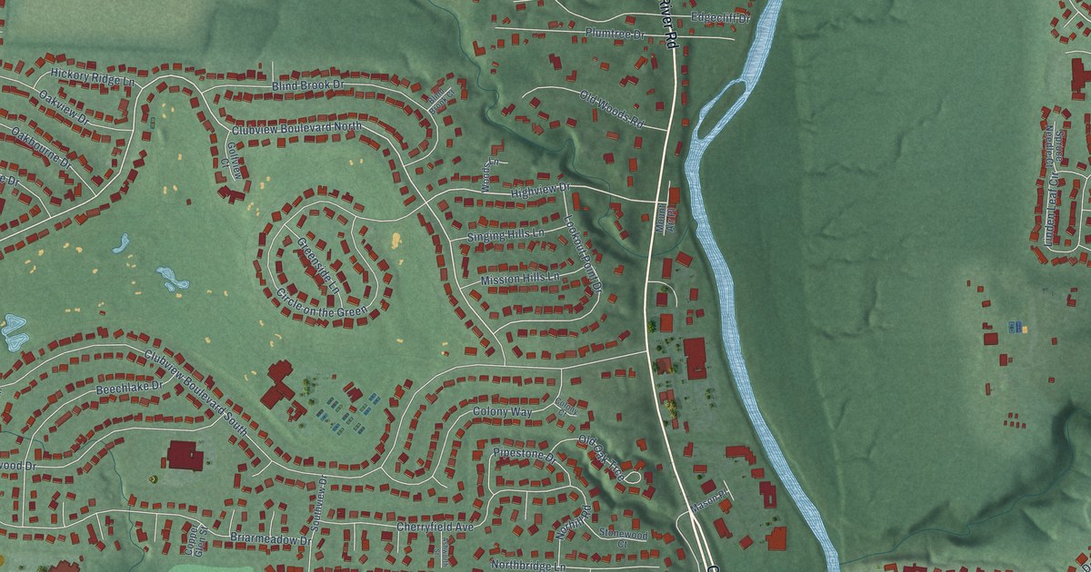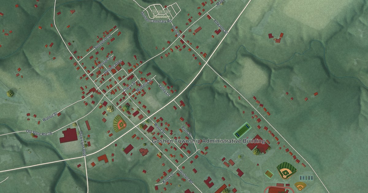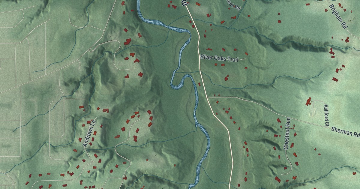
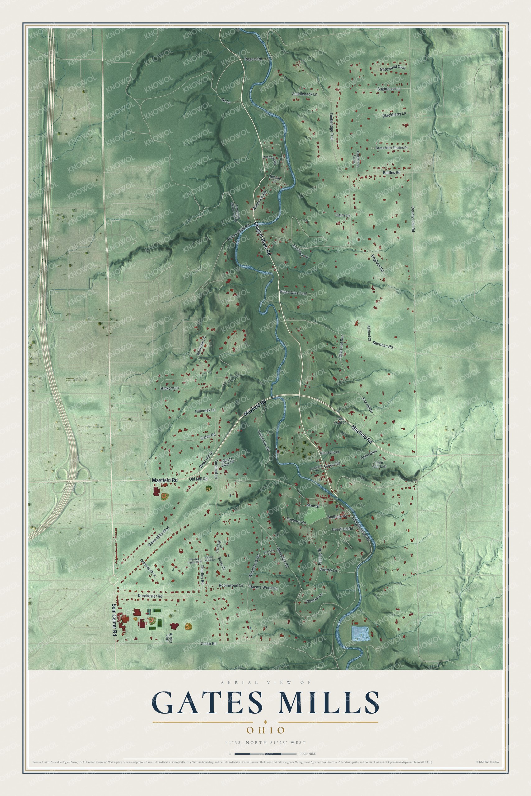
This beautifully detailed map of Gates Mills, Ohio was created in 2026 using aerial imagery combined with modern topographical, census, street and landmark data. It’s a one-of-a-kind view of Gates Mills that combines accurate data with a vintage aesthetic. The map shows every building in its true location, many of the roads carry their names, and the shaded topographic relief shows the shape of the land.
Explore an aerial view of Gates Mills, Ohio
On the map you’ll find Chagrin River Road, Som Center Road, Mayfield Road, Ox Lane, Old Mill Road, Rogers Road, County Line Road, Gates Mills Boulevard, Brigham Road, Timberidge Trail, Berkshire Road, West Hill Drive, and more. If you look closely you can even find your house accurately drawn in its correct location. Zoom in on the preview to look for yours.
Did you know this piece of Gates Mills, Ohio history?
From the Ohio History Connection: "In the following year, a rake factory was established, and by 1829 a gristmill was in operation."
Take a closer look at the Gates Mills map
Street names on the Gates Mills, Ohio map
These names are printed on the map of Gates Mills, Ohio.
Streets and roads: Chagrin River Road, Som Center Road, Mayfield Road, Ox Lane, Old Mill Road, Rogers Road, County Line Road, Gates Mills Boulevard, Brigham Road, Timberidge Trail, Berkshire Road, West Hill Drive.
More street names, A to Z
Andrews Lane, Ashford Court, Battles Road, Beverly Lane, Blackberry Lane, Cairn Lane, Cardinal Lane, Carpenter Road, Carriage Place, Cedar Road, Chartley Road, Chelsea Lane, Chestnut Run, Cleveland Metro Park Drive, Colvin Road, Cottesworth Lane, Daisy's Wood Lane, Deerfield Road, Dorchester Road, Echo Glen, Echo Glen East, Epping Road, Foxboro Road, Fox Hill Drive, Gates Mills Estates Drive, Gates Road, Gatewood Oval, Glen Echo Drive, Glen Oak Drive, Glenwood Road, Hawthorne Farms, Hickory Lane, Hillcreek Lane, Hillside Lane, Main Street, Norvale Circle East, Norvale Circle West, Old Cord Lane, Overlook Road, Racebrook Road, River Oaks Trail, Riverview Road, Robinwood Lane, Saddleback Lane, Settlers Ridge Road, Sherman Road, Stoneham Road, Sudbury Road, Sugarbush Lane, Surrey Place, Wilson Mills Road, Woodstock Road.
See the Gates Mills, Ohio map on a wall
The Gates Mills map as an 18 x 24 inch print in a black frame.

This beautifully detailed map of Gates Mills makes an attractive addition to your office, library, or den, and it can even be used to teach children the geography and history of the area. It also makes a great gift for anyone who grew up in Gates Mills or moved away. When you’re done exploring, click here to get your copy of the Gates Mills map.