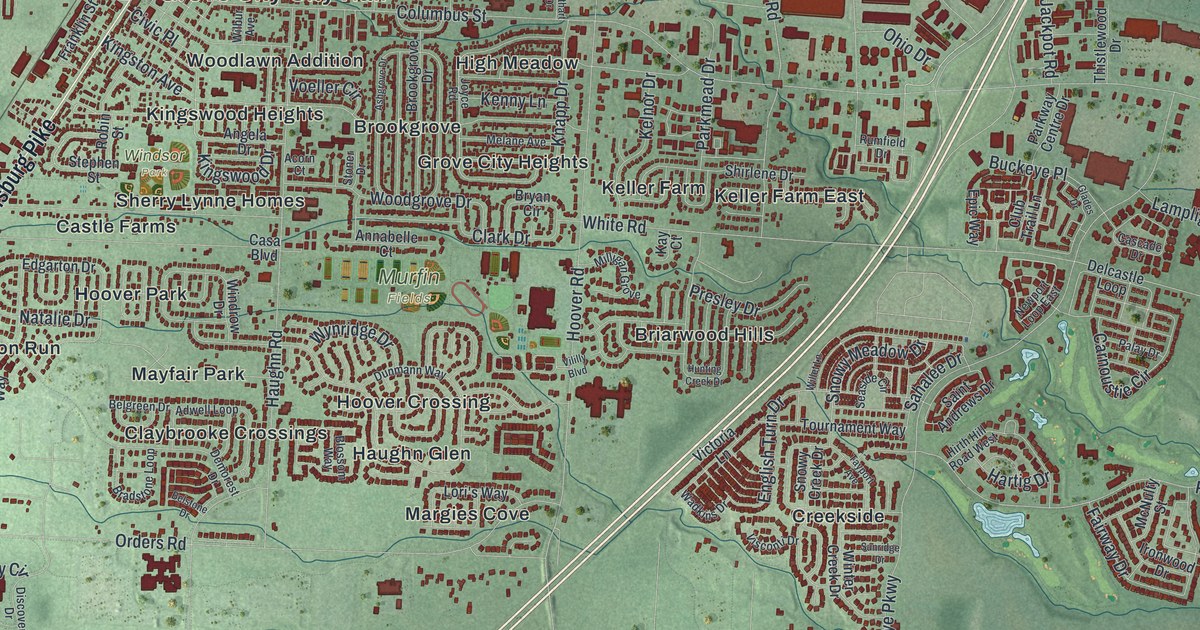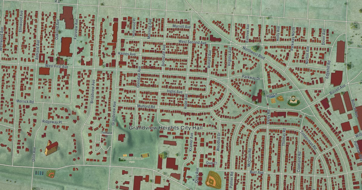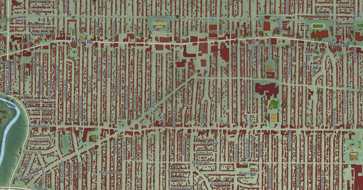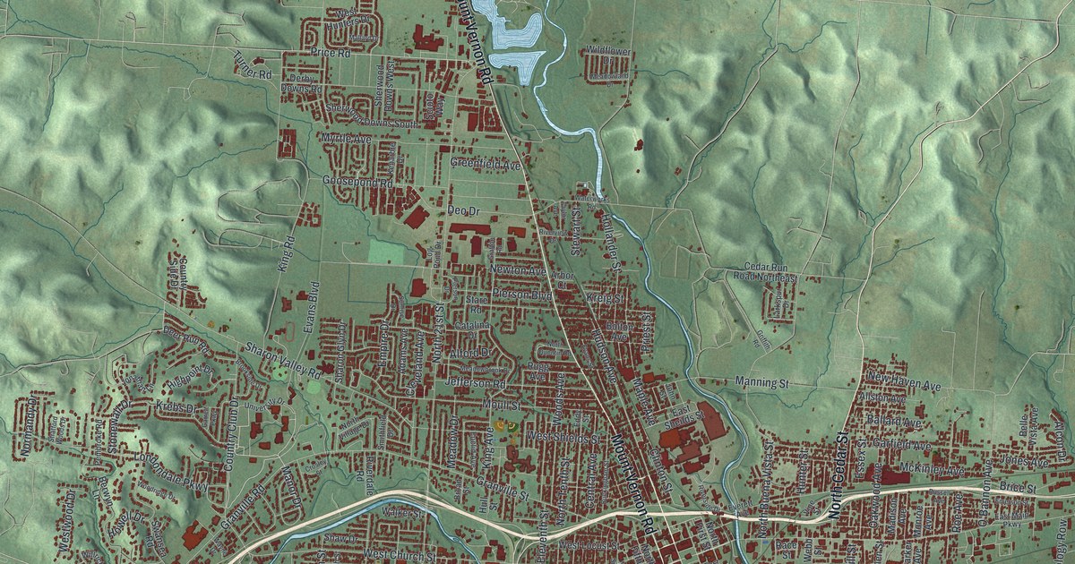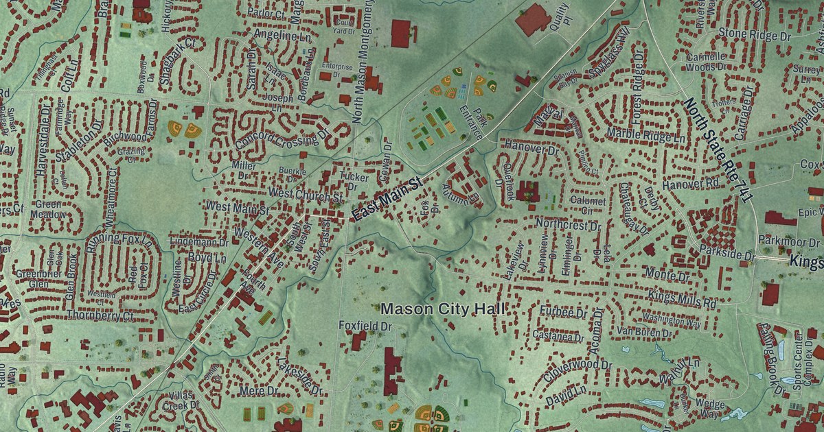
If you grew up in Mason, or you still drive Tylersville Road and Mason Montgomery Road most days, this map is for you. It's a new aerial view of Mason in Warren County, Ohio, made from modern data and given a vintage look. Soft green hills are shaded so you can see the rise and fall of the land. About 21,000 red shapes mark the buildings, from small homes to large ones. A winding blue river runs down the right edge, and small blue lakes sit among the streets.
Tylersville Road, Main Street and More on the Mason Map
On this map you'll find Mason City Hall, East Main Street, West Main Street, Tylersville Road, Mason Montgomery Road, Reading Road, Kings Mills Road, Western Row Road, Socialville Foster Road, Snider Road, Bethany Road, Kings Island Drive, Corwin Nixon Park Entrance, Hageman, and more. Each red shape is a building, so zoom in on the preview and look for yours.
WLW, The Nation's Station, on Tylersville Road
Mason has a big place in radio history. In 1922 the call letters WLW went to a station started by Powell Crosley Jr. of Cincinnati. In 1928 the station moved its transmitter to Mason. By 1934 it had permission to try 500,000 watts. That was ten times the power of any other station. It was the first and only commercial station to broadcast that strong. President Franklin D. Roosevelt opened it on May 2, 1934. Its antenna stood 831 feet tall, and WLW came to be called "The Nation's Station."
The signal was strong enough to show up in odd places. The Ohio History Connection marker says locals heard broadcasts on barbed wire fences and milking machines. Some heard it in rainspouts, water faucets and radiators. In 1939 the government told WLW to drop back to 50,000 watts. The marker stands at 719 Tylersville Road. Find Tylersville Road on the map, and you're looking at the part of town where it all happened.
Keep Mason City Hall and Tylersville Road Close
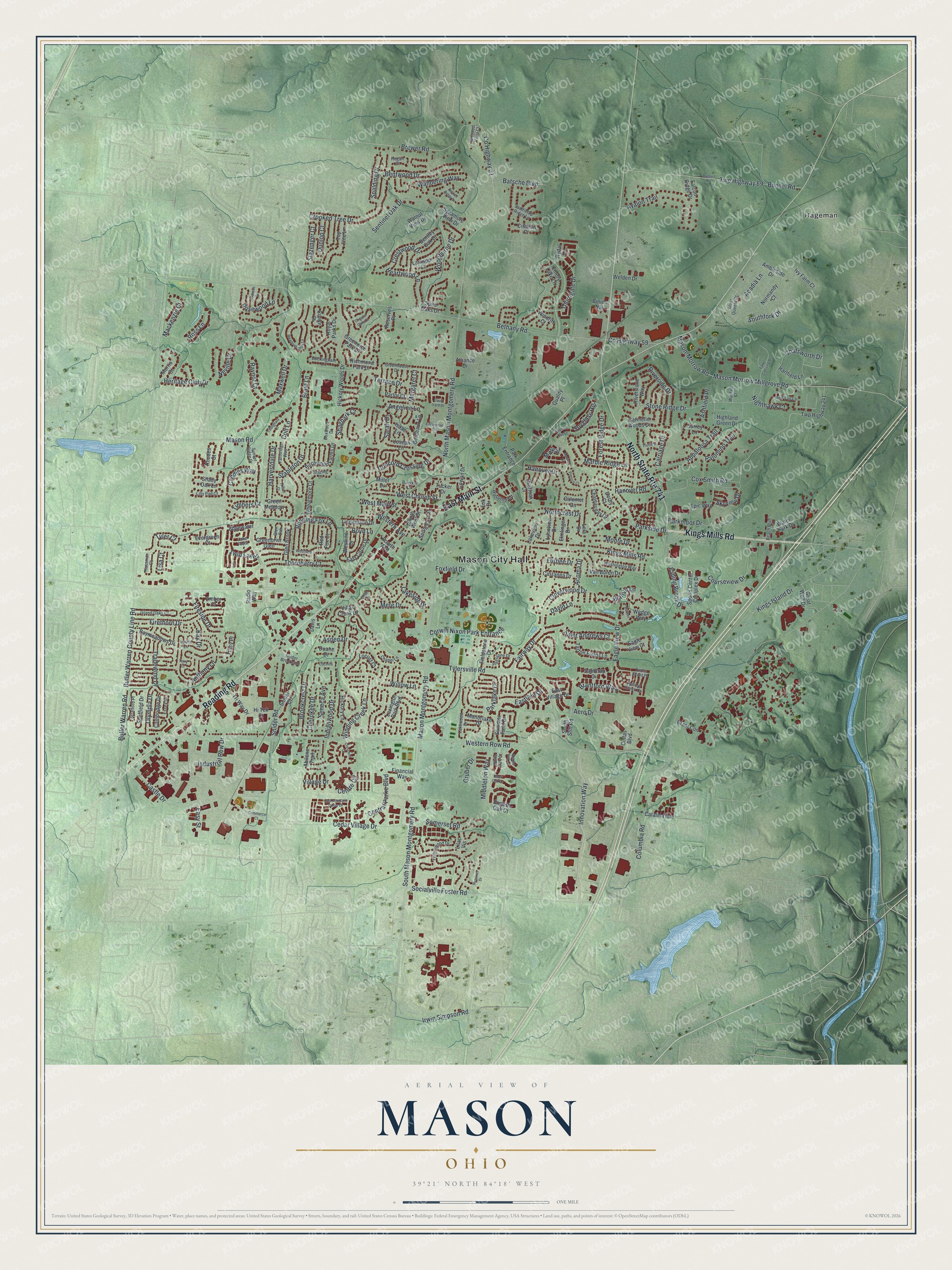
Created by KNOWOL in 2026, this print shows Mason in soft greens with shaded hills, red building shapes and blue water. The title panel reads "Aerial View of Mason, Ohio" with the coordinates 39°21' North 84°18' West.
It fits a living room, a home office or the hallway by the front door. It's a good gift for someone who grew up near Mason City Hall and moved away, or for a family that just settled off Western Row Road. Open the preview and find your street. See sizes and frames for the Mason map.