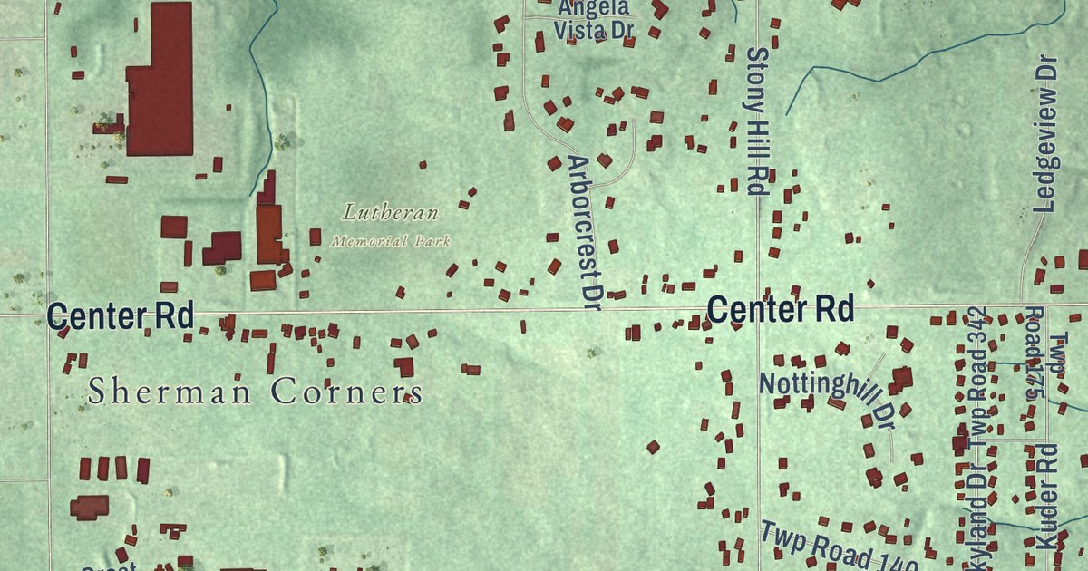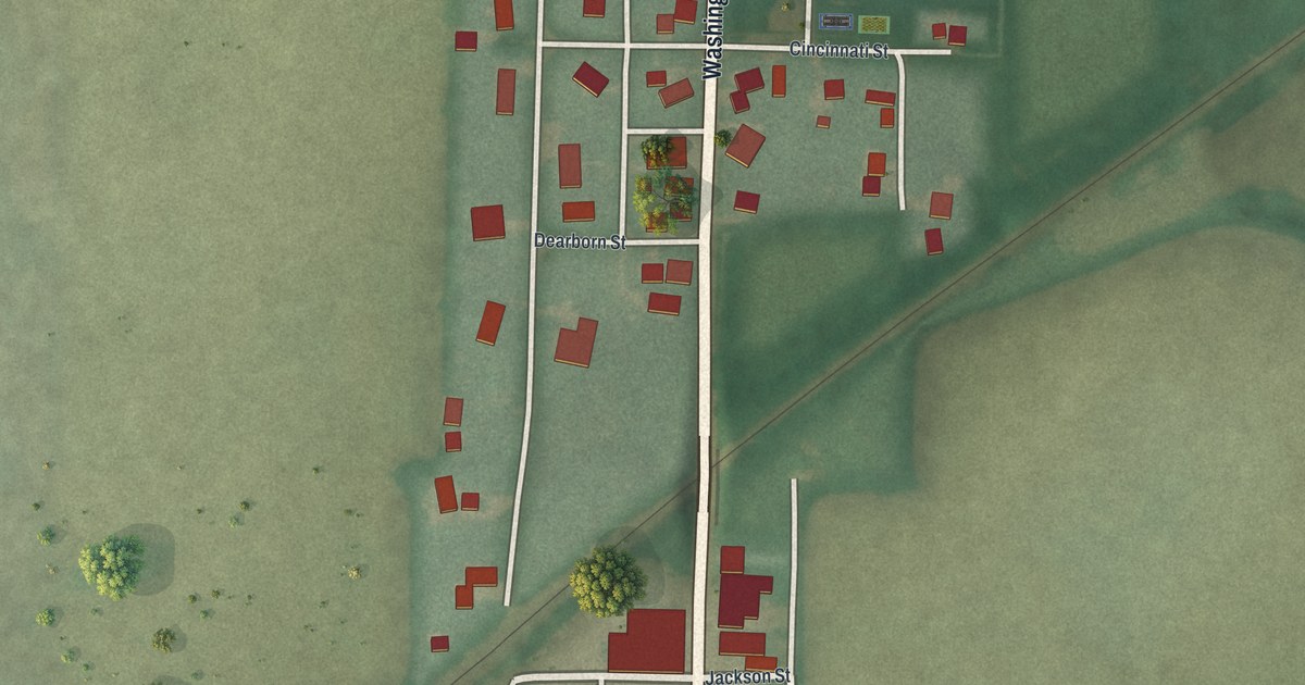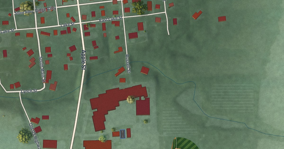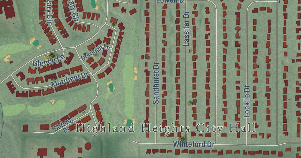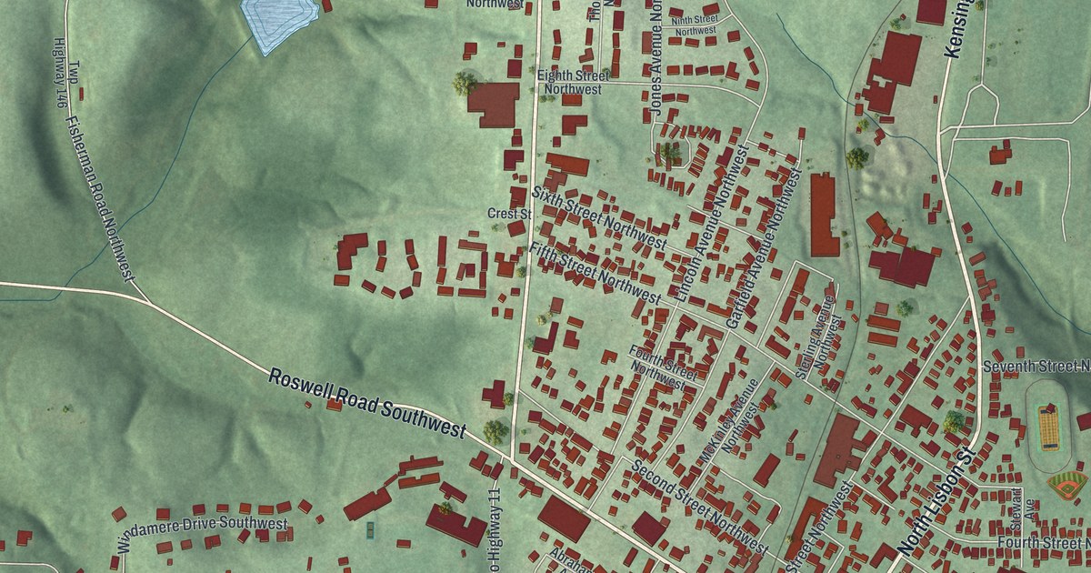
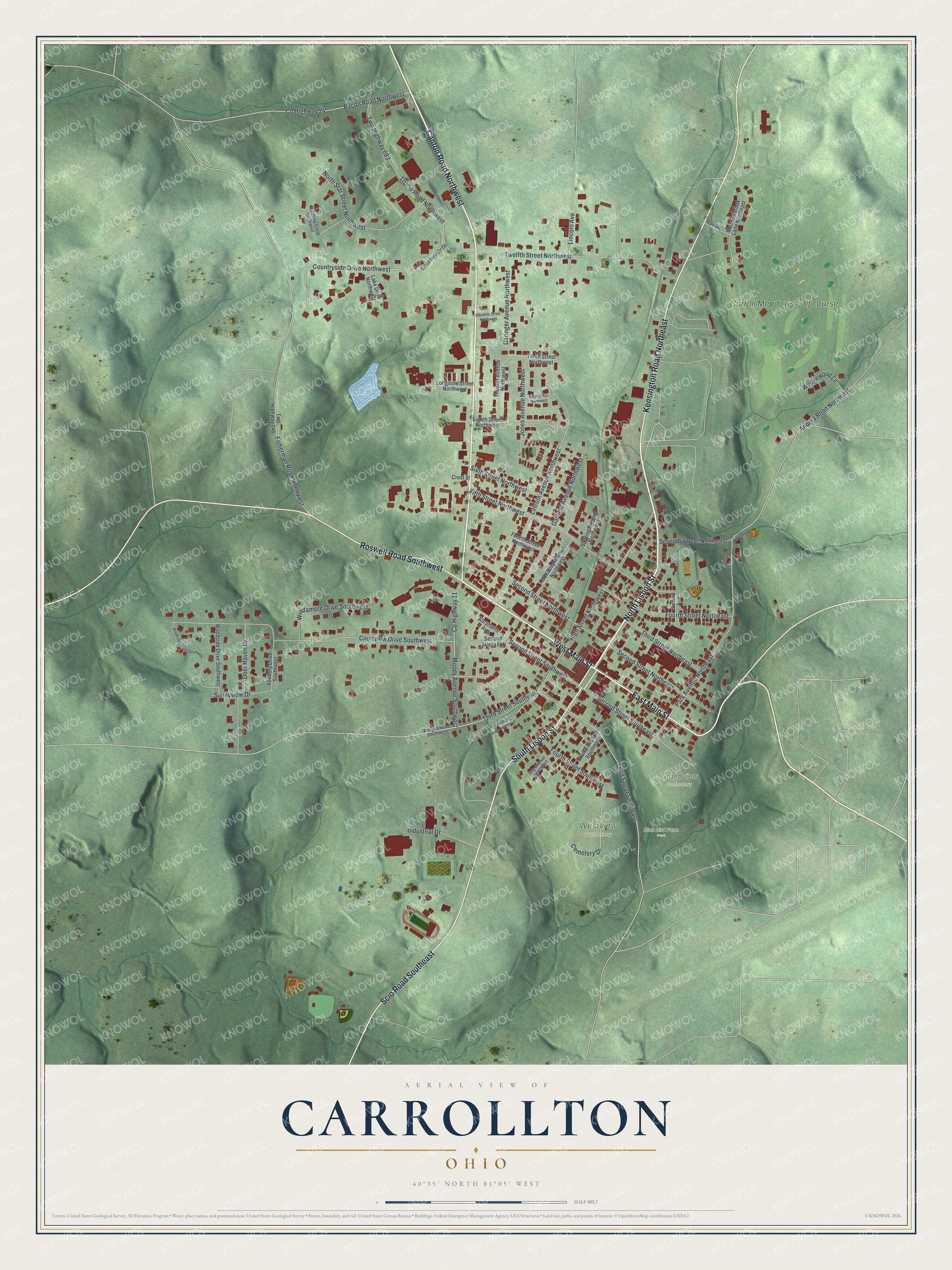
This beautifully detailed map of Carrollton, Ohio was created in 2026 using aerial imagery combined with modern topographical, census, street and landmark data. It’s a one-of-a-kind view of Carrollton that combines accurate data with a vintage aesthetic. The map shows every building in its true location, many of the roads carry their names, and the shaded topographic relief shows the shape of the land.
Explore an aerial view of Carrollton, Ohio
On the map you’ll find Blue Bird Farm Park, Grandview Cemetery, Westview Cemetery, and Carroll Meadows golf course, along with North Lisbon Street, West Main Street, Canton Road Northwest, East Main Street, South Lisbon Street, Kensington Road Northeast, Scio Road Southeast, Roswell Road Southwest, and more. If you look closely you can even find your house accurately drawn in its correct location. Zoom in on the preview to look for yours.
Did you know this piece of Carrollton, Ohio history?
Peter Bohart founded the village as Centreville on October 4, 1815, where two main roads crossed. It became the seat of the new Carroll County and took a new name in 1834. That name honors Charles Carroll of Carrollton, the last living signer of the Declaration of Independence.
Take a closer look at the Carrollton map
Street and place names on the Carrollton, Ohio map
These names are printed on the map of Carrollton, Ohio.
Places: Blue Bird Farm Park, Grandview Cemetery, Westview Cemetery and Carroll Meadows golf course.
Streets and roads: North Lisbon Street, West Main Street, Canton Road Northwest, East Main Street, South Lisbon Street, Kensington Road Northeast, Scio Road Southeast, Roswell Road Southwest, Third Street Southwest, Third Street Southeast, Second Street Southwest, Second Street Southeast.
More street names, A to Z
Abrahams Avenue, Andora Road Northeast, Antigua Road Southwest, Bacon Road Northwest, Cemetery Drive, Countryside Drive, Countryside Drive Northwest, County Highway 10, County Highway 11, County Highway 24, Courtview Drive Southwest, Crest Street, Daringer Avenue Northwest, Deer Haven Drive, Eighth Street Northwest, Eleventh Street Northwest, Fairway Drive, Fifth Street Northwest, Fisherman Road Northwest, Fourth Street Northeast, Fourth Street Northwest, Fourth Street Southeast, Foxbury Drive Southwest, Garfield Avenue Northwest, High Street Northwest, Industrial Drive, Jones Avenue Northwest, Lake Drive Northwest, Lincoln Avenue, Lincoln Avenue Northwest, Longhorn Street Northwest, McKinley Avenue Northwest, Meadowbrook Lane Northeast, Moody Avenue Southwest, Ninth Street Northwest, North Star Street Northwest, Park Avenue Northeast, Rainbow Circle Northwest, Raley Avenue Southeast, Ray Avenue Southeast, Second Street Extension, Second Street Northeast, Second Street Northwest, Seventh Street Northeast, Sixth Street Northwest, South High Street Southwest, Sterling Avenue Northwest, Stewart Avenue, Sunnyview Drive, Tenth Street Northwest, Third Street Northeast, Thomas Avenue Northwest, Trump Road Northwest, Twelfth Street Northwest, Twp Highway 146, Twp Highway 683, Wedgewood Lane, Windamere Drive Southwest, Woodridge Drive Southwest, Woodside Drive Southwest.
See the Carrollton, Ohio map on a wall
The Carrollton map as an 18 x 24 inch print in a black frame.

This beautifully detailed map of Carrollton makes an attractive addition to your office, library, or den, and it can even be used to teach children the geography and history of the area. It also makes a great gift for anyone with Carrollton roots. When you’re done exploring, click here to get your copy of the Carrollton map.