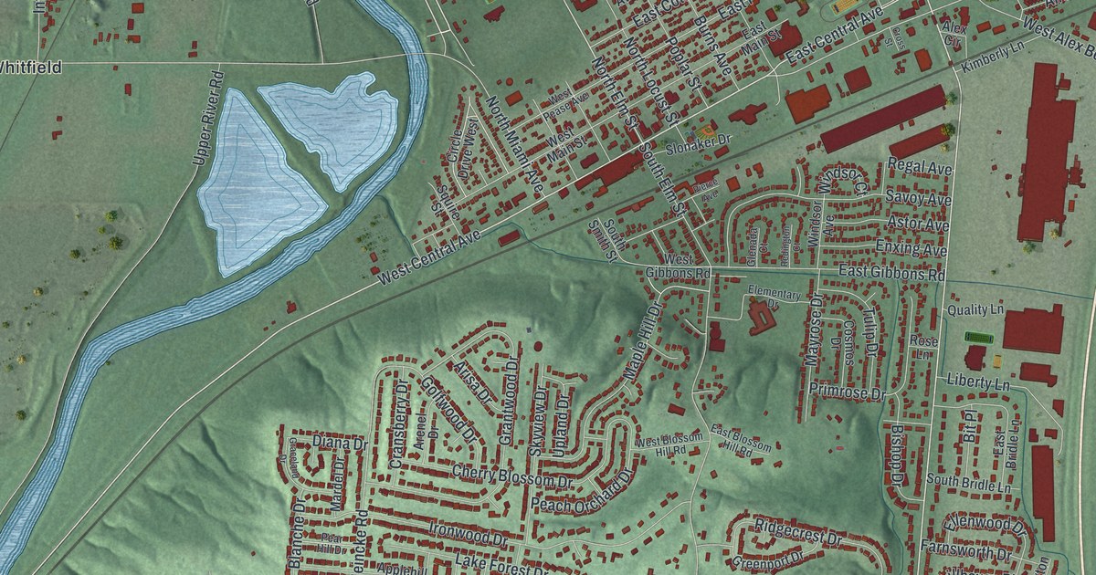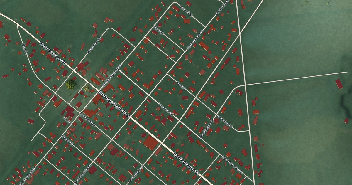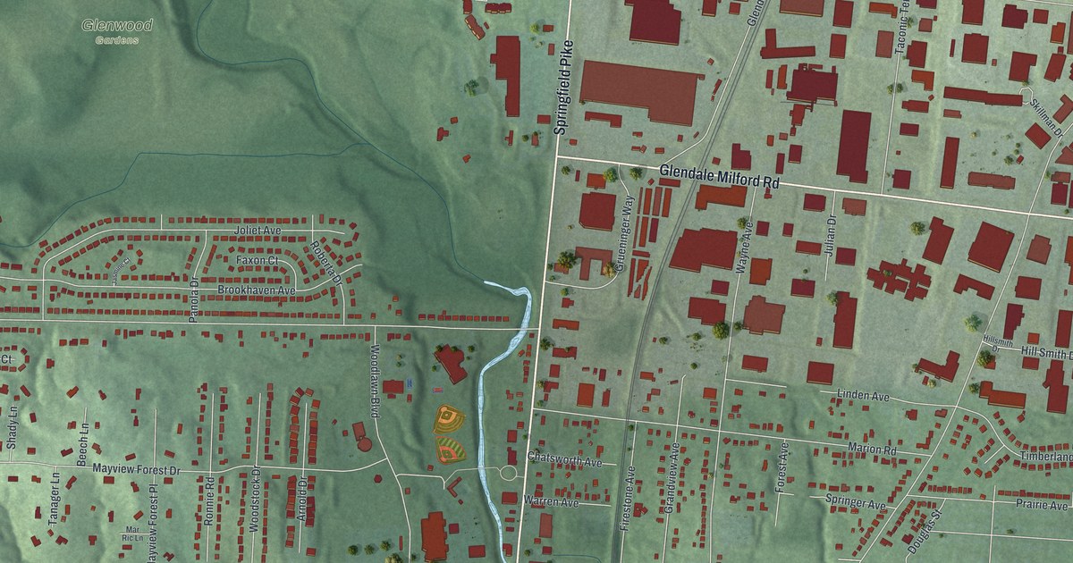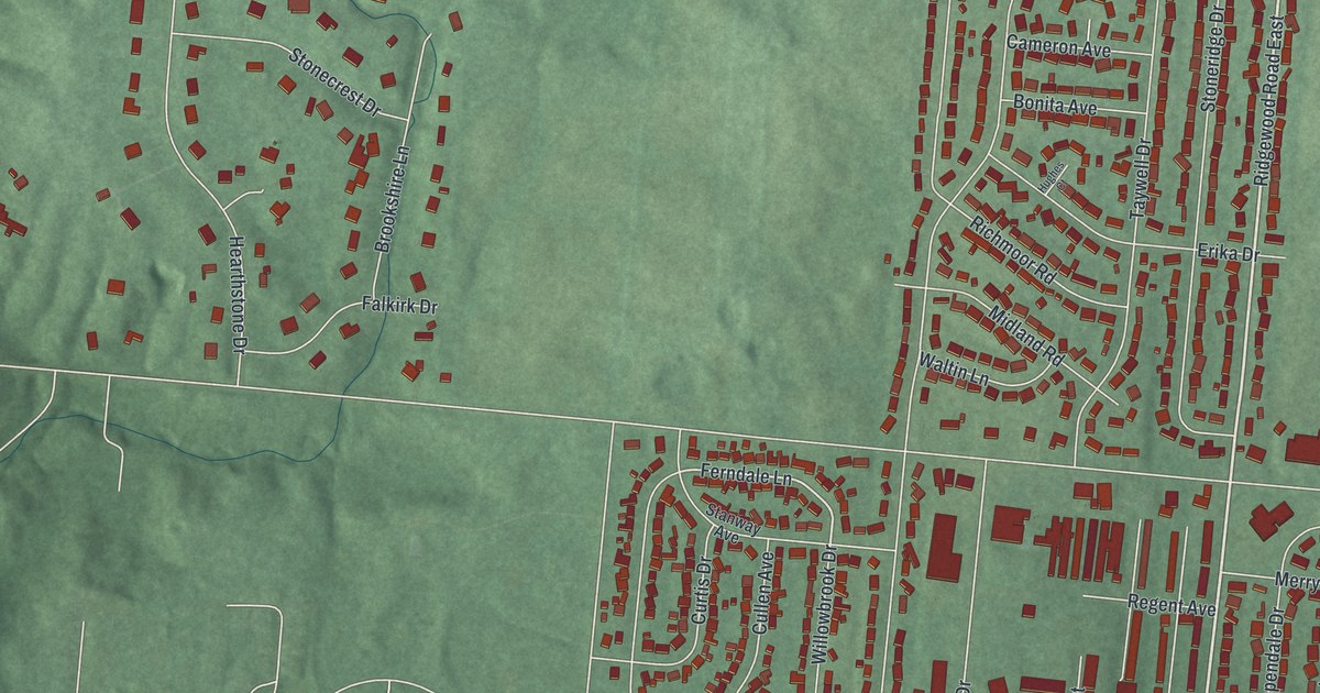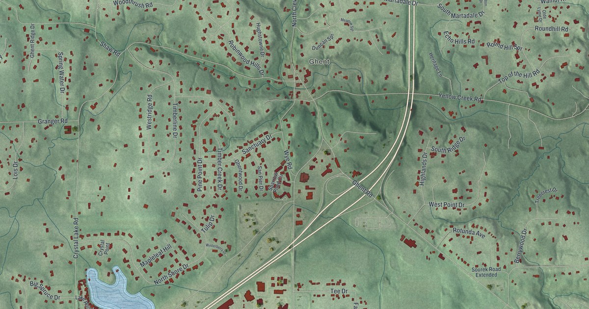
If you grew up in Ghent or Montrose, or you still take Yellow Creek Road home, this map was made with you in mind. It's a modern aerial view of Montrose-Ghent in Summit County, Ohio, built from modern data and given a vintage look. Bath Center sits near the top. Ghent is in the middle. Montrose sits along the bottom. Shaded hills, small blue lakes and thousands of red buildings fill the space between.
The Ghent Woolen Mill on Granger Road
On this map you'll find Medina Road, Yellow Creek Road, Granger Road, West Bath Road, North Cleveland Massillon Road, Ghent Road, North Hametown Road, Crystal Lake Road, Sand Run Road, Wye Road, Bath Center, Ghent, Montrose, Stoney Hill, and more. Each red shape is a building, so zoom in on the preview and look for yours.
Ghent grew up beside Yellow Creek. The creek drops about 400 feet as it crosses Bath Township. Falling water like that can turn a mill wheel. At least thirteen mills were built in the Yellow Creek Valley, says the historical marker for the Ghent Woolen Mill. Two men named Allen and Bloom built the woolen mill in 1832.
Wolves, Wool and the Civil War Years in Ghent
It never made much money. The mill changed hands several times in the 1800s, and the marker says it was reportedly because so many wolves lived here that raising sheep was risky. Its best years came around the Civil War. Back then it turned as much as 10,000 pounds of wool a year into cloth and yarn. Around 1889 it became a machine shop. By the late 1890s, people lived in it.
The building is still there. It's the oldest known woolen mill still standing in Ohio, and it keeps many of its first features. The marker stands at 3542 Granger Road. On the map, find the Ghent label near the center, and Granger Road, where the marker stands.
From Bath Center to Montrose
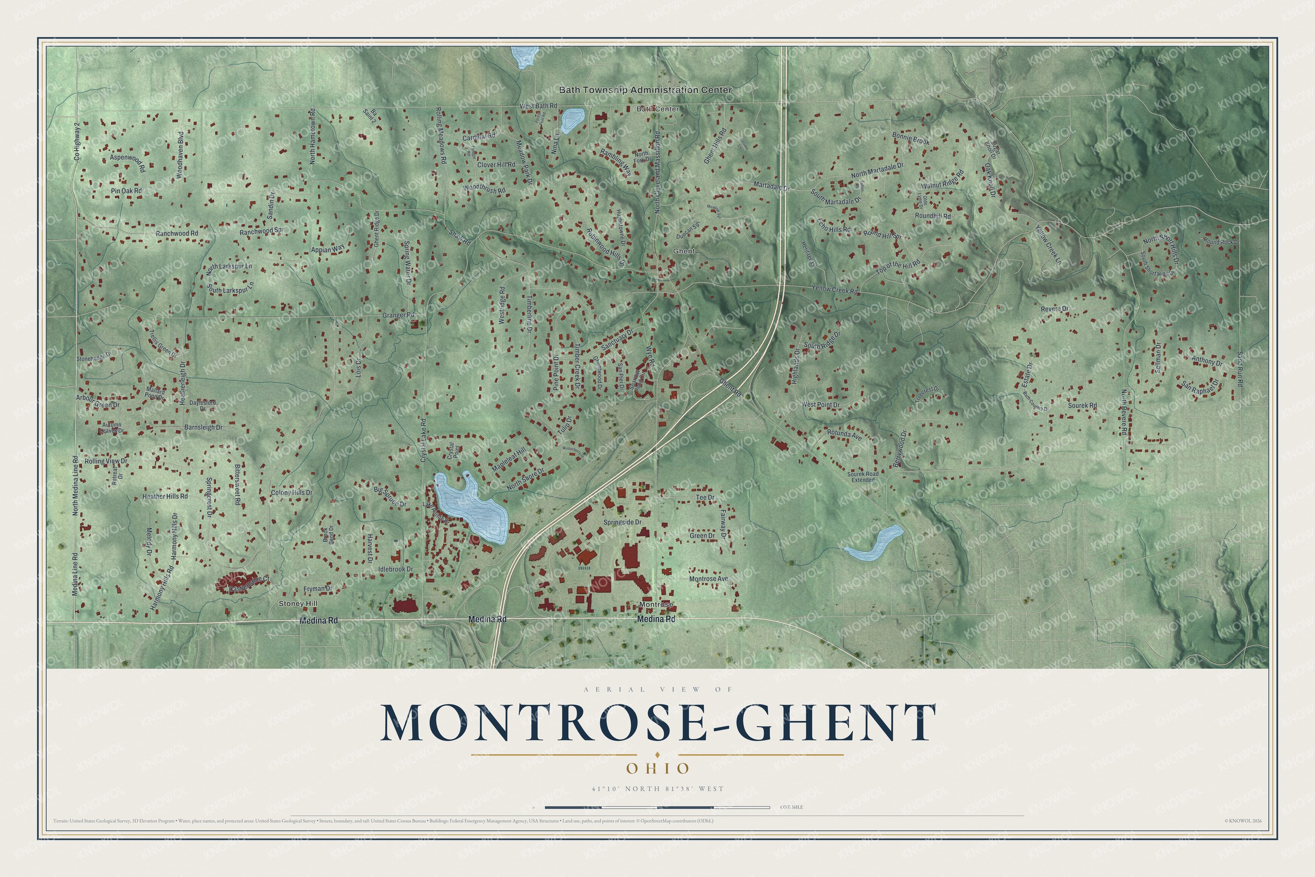
Created by KNOWOL in 2026. The print shows Montrose-Ghent in soft greens, with shaded hills, blue lakes and red buildings. The title panel reads Aerial View of Montrose-Ghent, Ohio, 41°10' North 81°38' West.
It fits a living room, a home office or a front hall. It's a good gift for someone who grew up near the old Ghent Woolen Mill on Granger Road, or who moved away from Bath Center. Open the preview and find your own street. See sizes and frames for the Montrose-Ghent map.