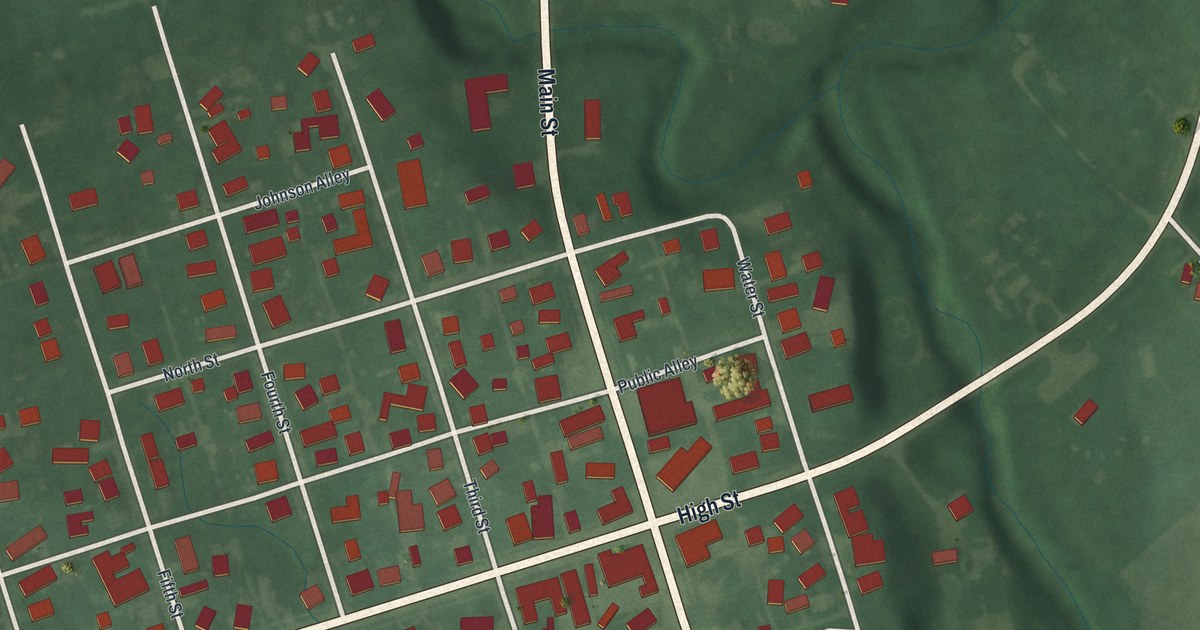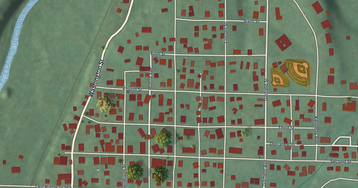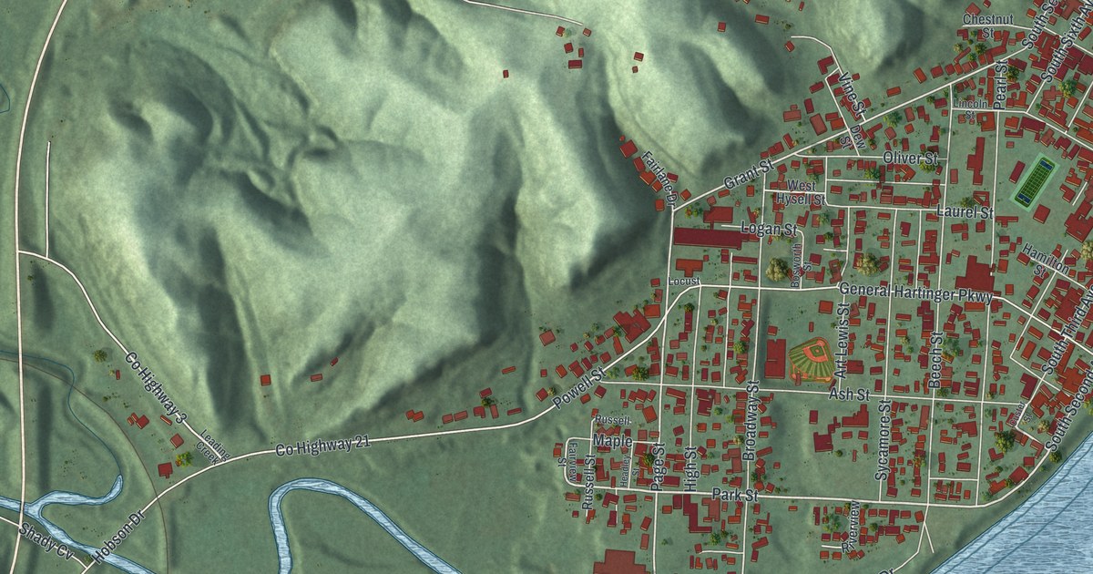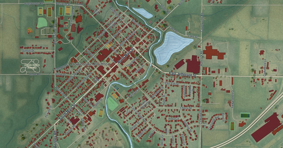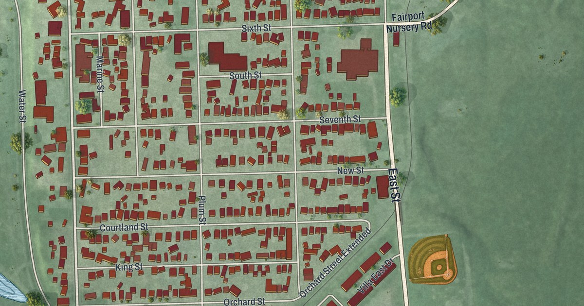
If you grew up in Fairport Harbor, look for your old block on this print. It's a modern aerial view of Fairport Harbor in Lake County, Ohio, made with modern data and a vintage feel. Blue water curves around the town, with red buildings along its streets.
Fairport Village Hall and the streets around home
On this map you'll find High Street, Second Street, Third Street, Water Street, East Street, Fairport Road, Fifth Street, Sixth Street, Seventh Street, New Street, Fairport Village Hall, Grand River Landing, and more. Each red shape is a building, so zoom in on the preview and look for yours.
La Salle's 1669 trip up the Grand River
In the fall of 1669, La Salle set out from the Grand River's mouth. He was a French explorer and trader seeking a river that flowed west. The La Salle Expedition historical marker tells how he went up the Grand River. He then crossed land to a stream that fed the Ohio River. From there, he went as far as the falls at Louisville, Kentucky. The marker's address is 301 Huntington Beach Drive. Look for Huntington Beach Drive on the print, beside the broad blue water at the top. That shore was the start of a much longer trip inland.
Keep Fairport Harbor close
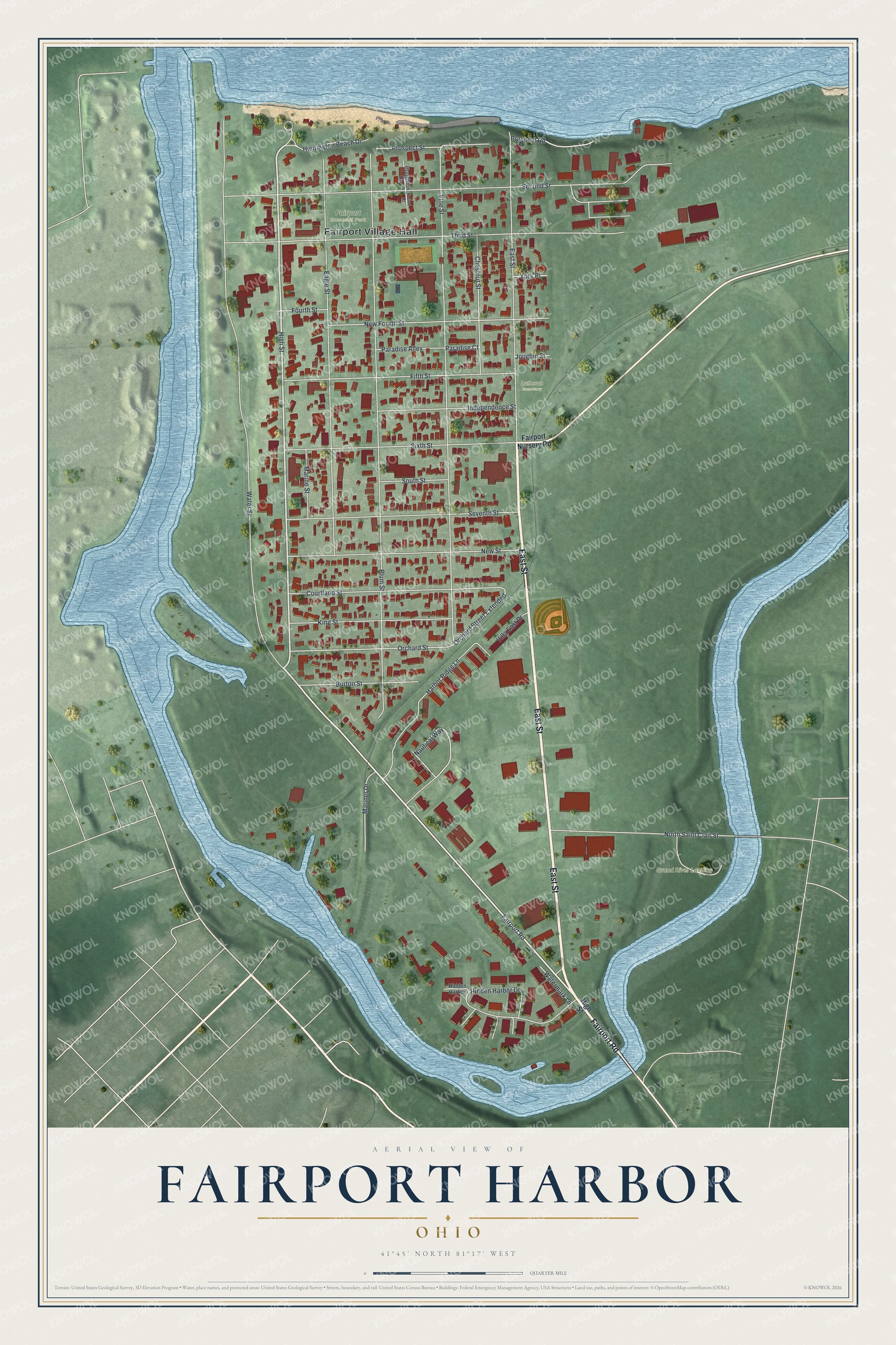
Created by KNOWOL in 2026, this print pairs green land and blue water with red building shapes. A cream border surrounds the view. The title panel reads AERIAL VIEW OF, FAIRPORT HARBOR, OHIO, and 41°45' NORTH 81°17' WEST.
Hang it in a living room, office, or entryway. It's a gift for someone who grew up near High Street or has family in Fairport Harbor. Open the preview to look for the streets that mean home to you. See sizes and frames for the Fairport Harbor map.