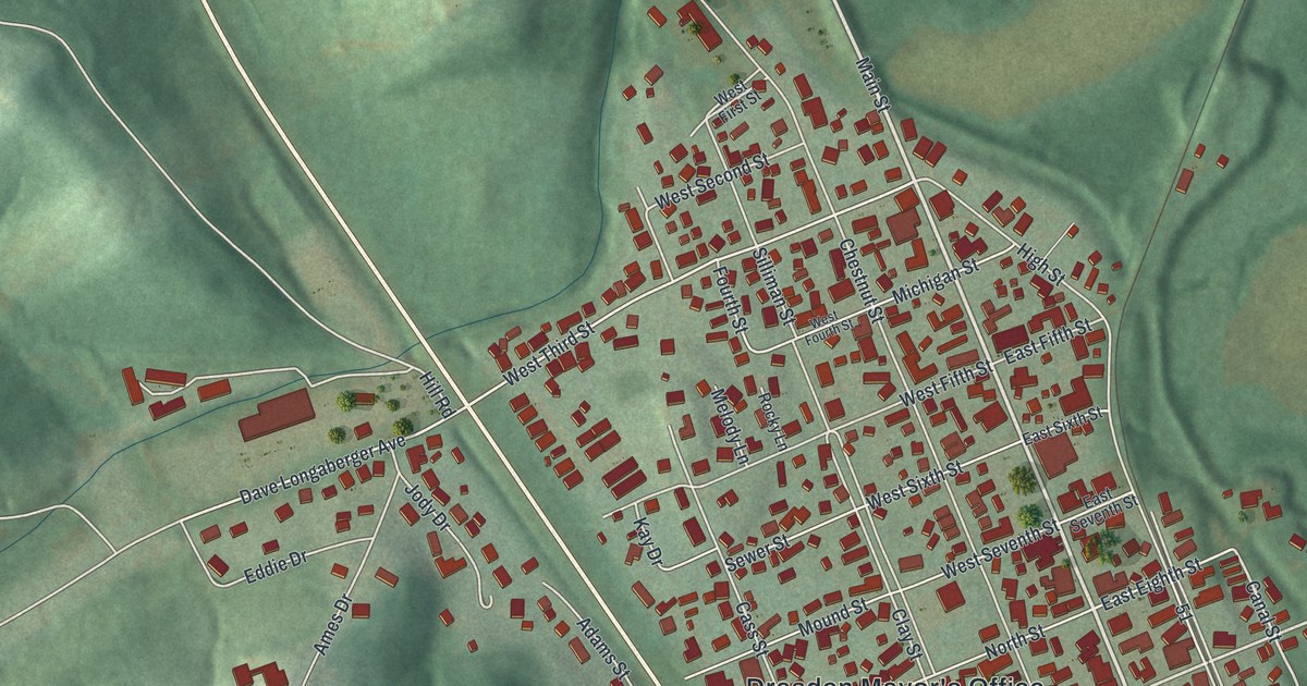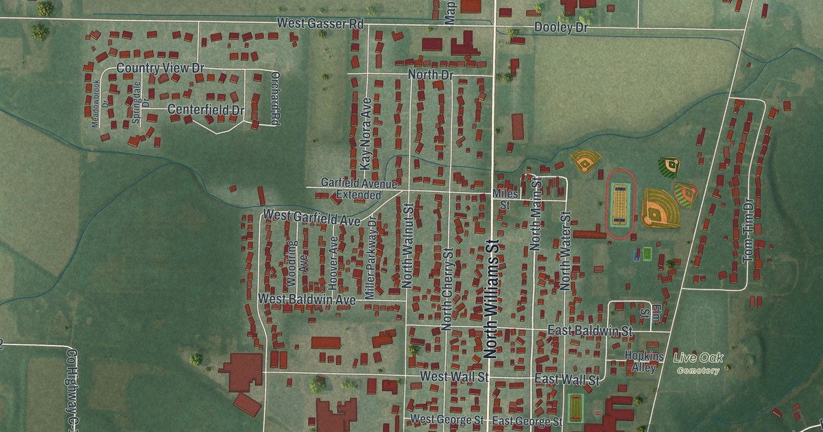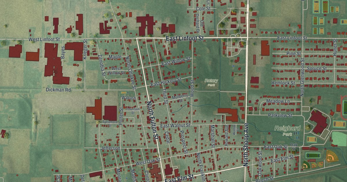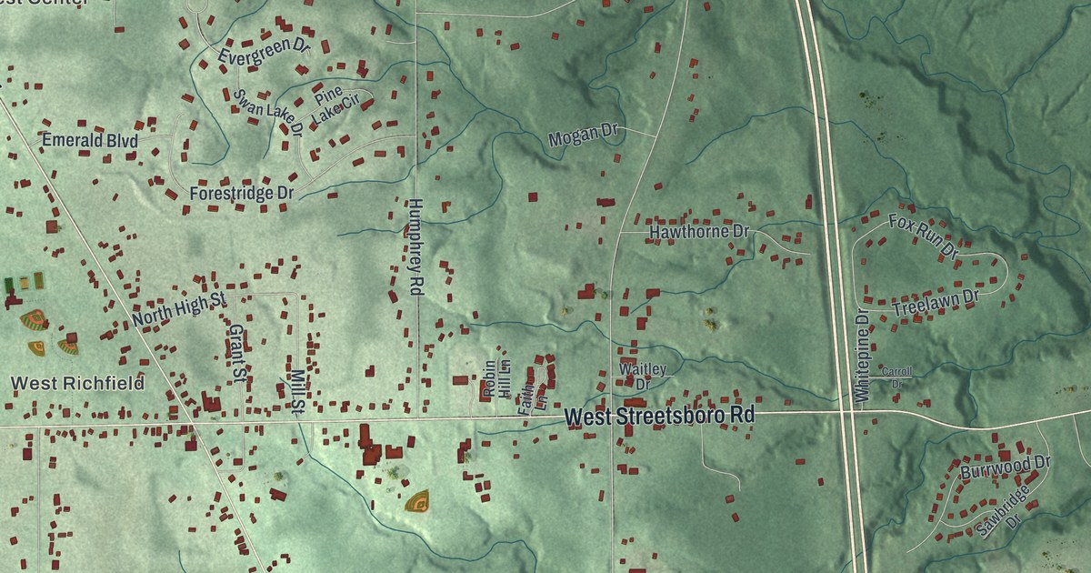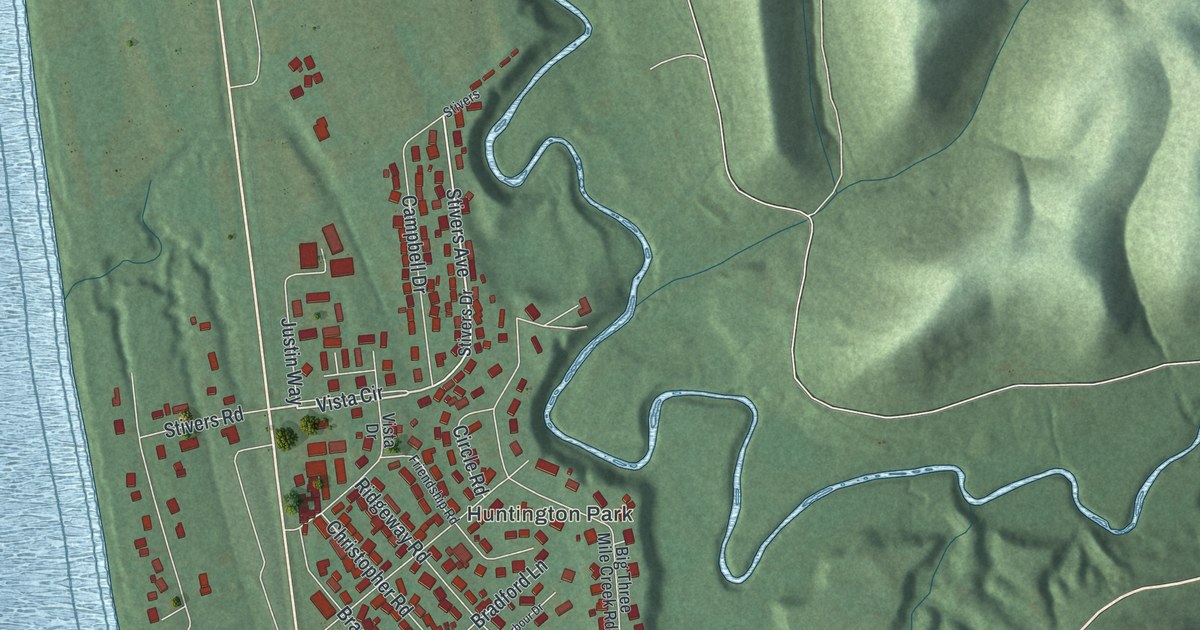
If you grew up in Aberdeen or have family here, look for a familiar block on this map. This modern aerial view of Aberdeen in Brown County, Ohio pairs modern data with a vintage feel. Red buildings fill the narrow ground between a wide blue river and green hills. Water Street, High Street and the Huntington Park neighborhood are named on the print.
Water Street, High Street and Huntington Park
On this map you'll find High Street, Market Street, Water Street, Ferry Street, Main Cross Street, Mountain Street, Elm Street, River Road, Stivers Avenue, Ridgeway Road, Huntington Park, and more. Each red shape is a building, so zoom in on the preview and look for yours.
Henry Howe's 1891 county history describes a ferry linking Aberdeen with Maysville, Kentucky, across the Ohio. It also records that Nathan Ellis laid out Aberdeen in 1816. Ellis and three other businessmen were the first settlers named in the account. The riverfront is easy to pick out on this print. Look for Water Street and Ferry Street beside the broad bend in the blue water.
Keep Aberdeen's riverfront close
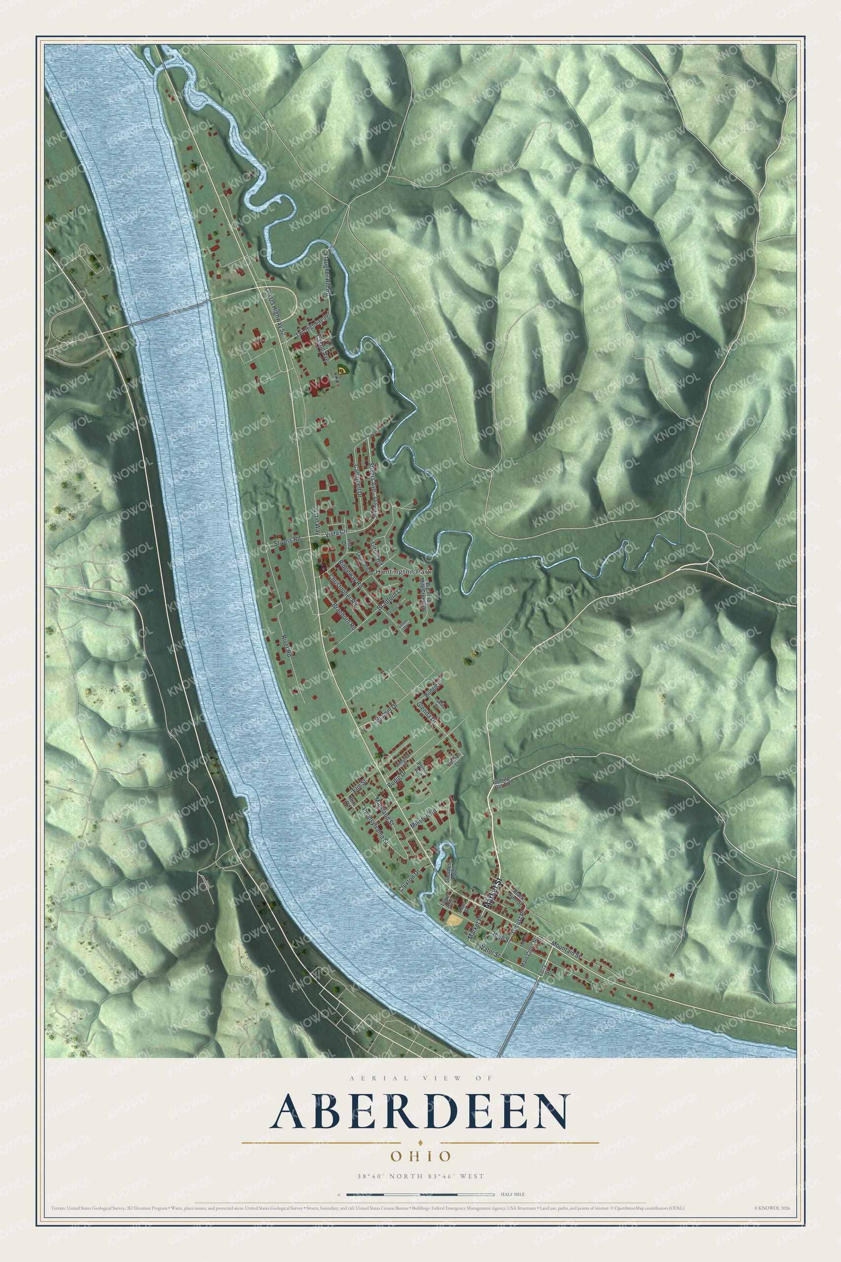
Created by KNOWOL in 2026, the print uses modern geographic data to show roads, buildings and shaded hills. Soft greens, blue water and dark red buildings sit inside a cream border. The title panel reads "Aerial View of Aberdeen, Ohio" with the coordinates 38°40' North, 83°46' West.
Hang it in a living room, office or hallway where you can study the streets. It's a gift for someone who grew up near High Street and moved away. Open the preview and zoom in to find the blocks you know. See sizes and frames for the Aberdeen map.