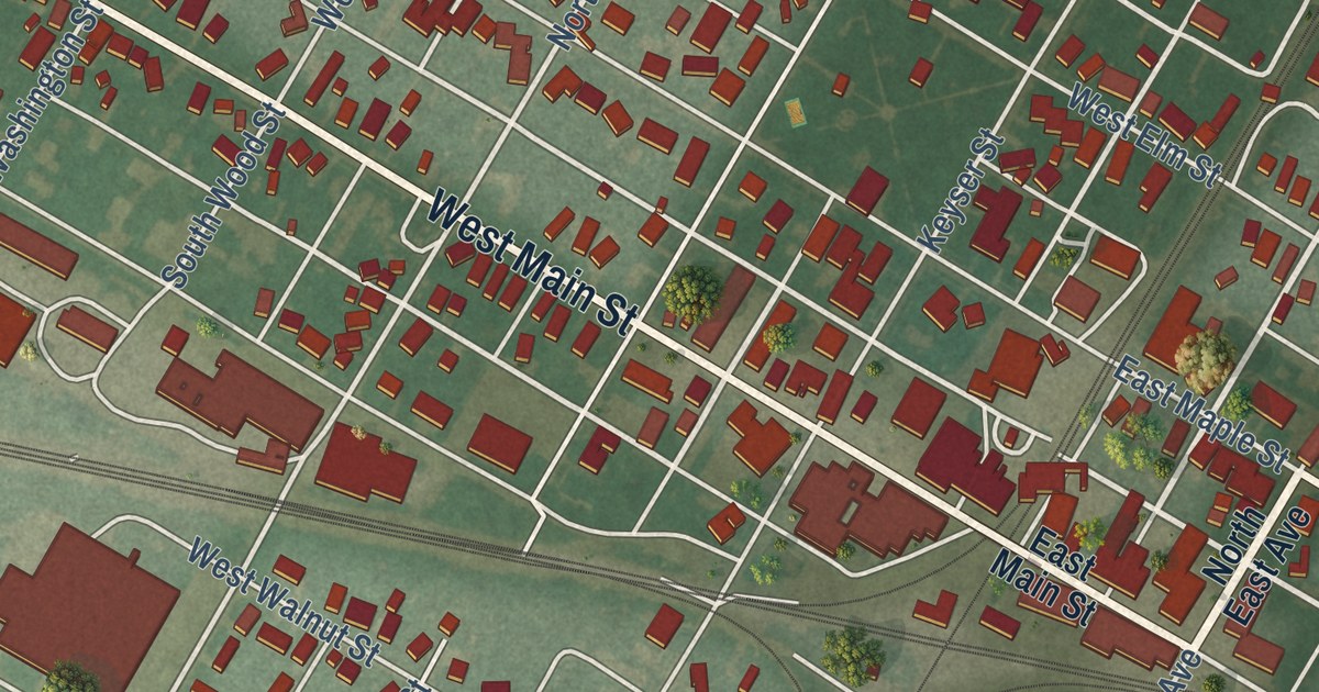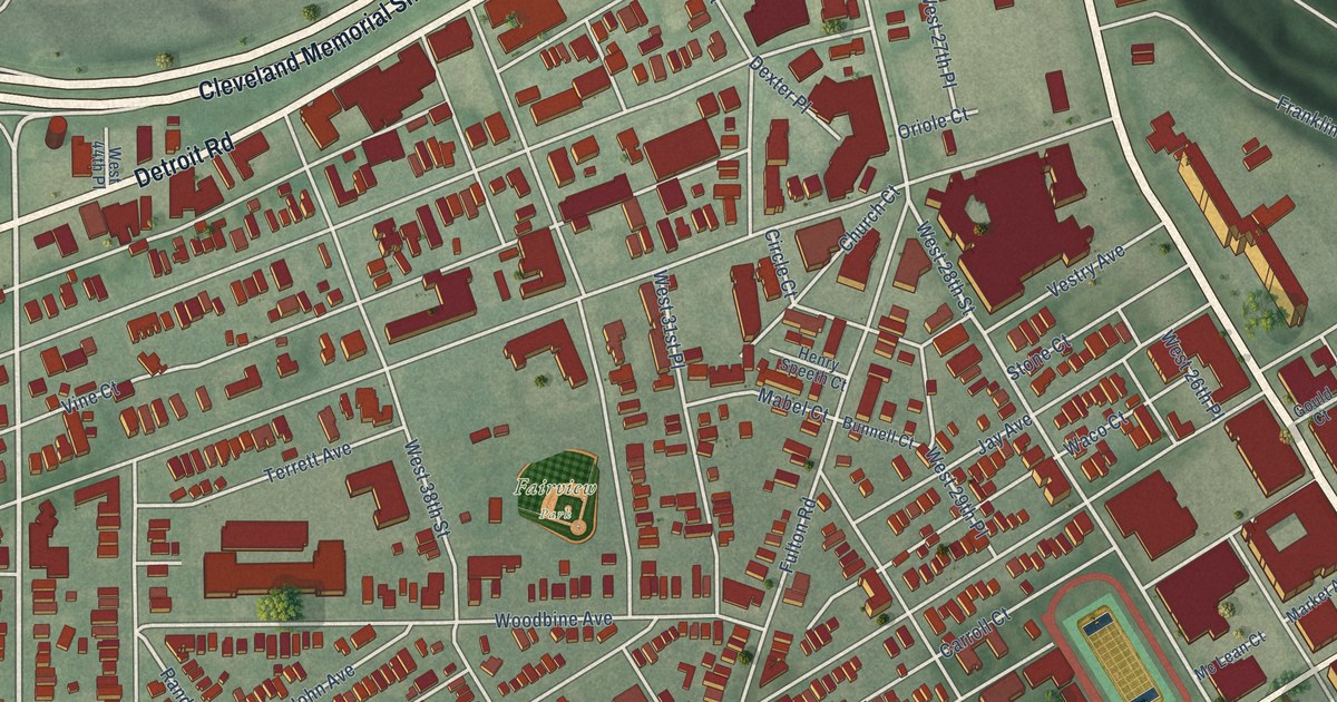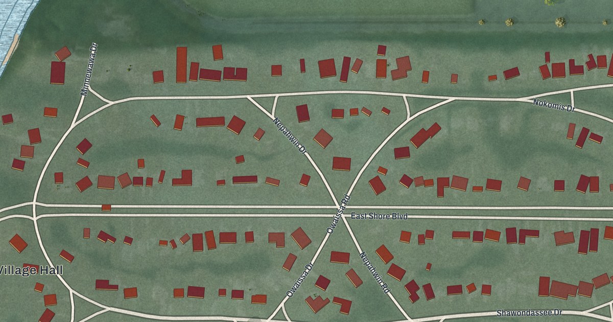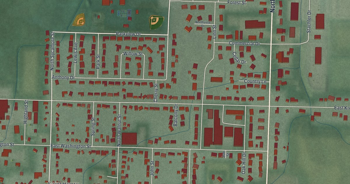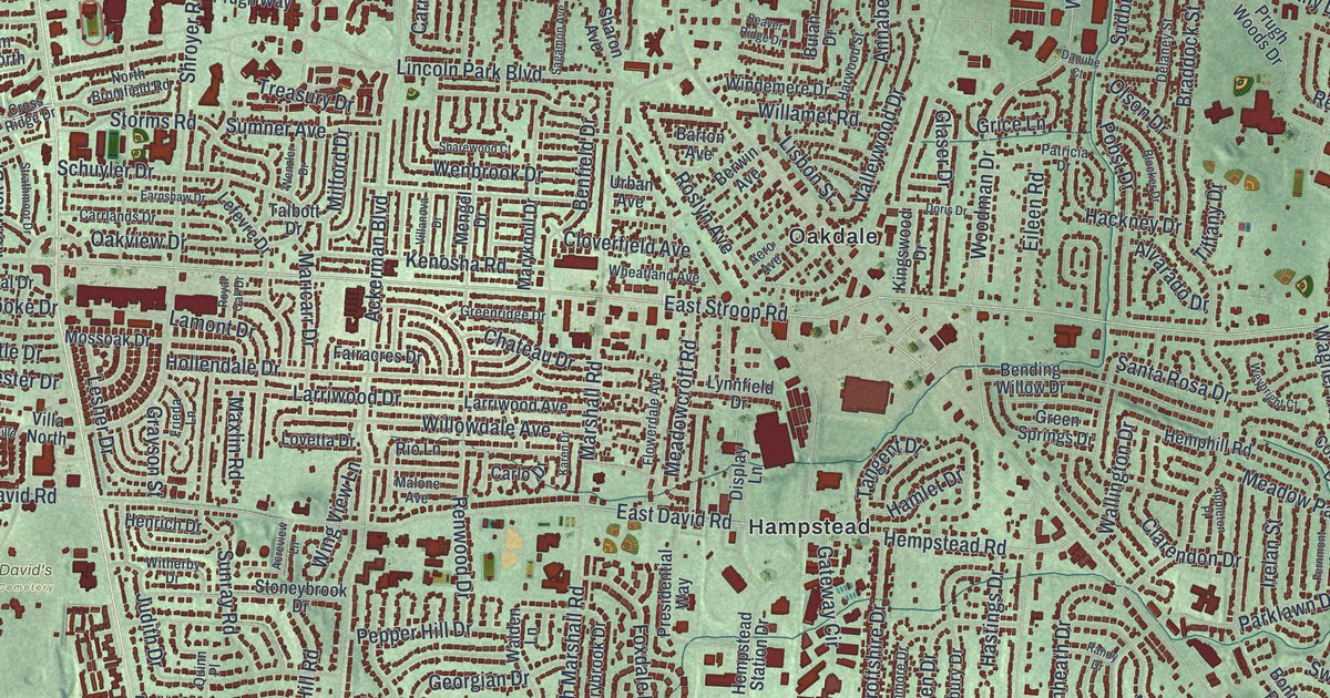
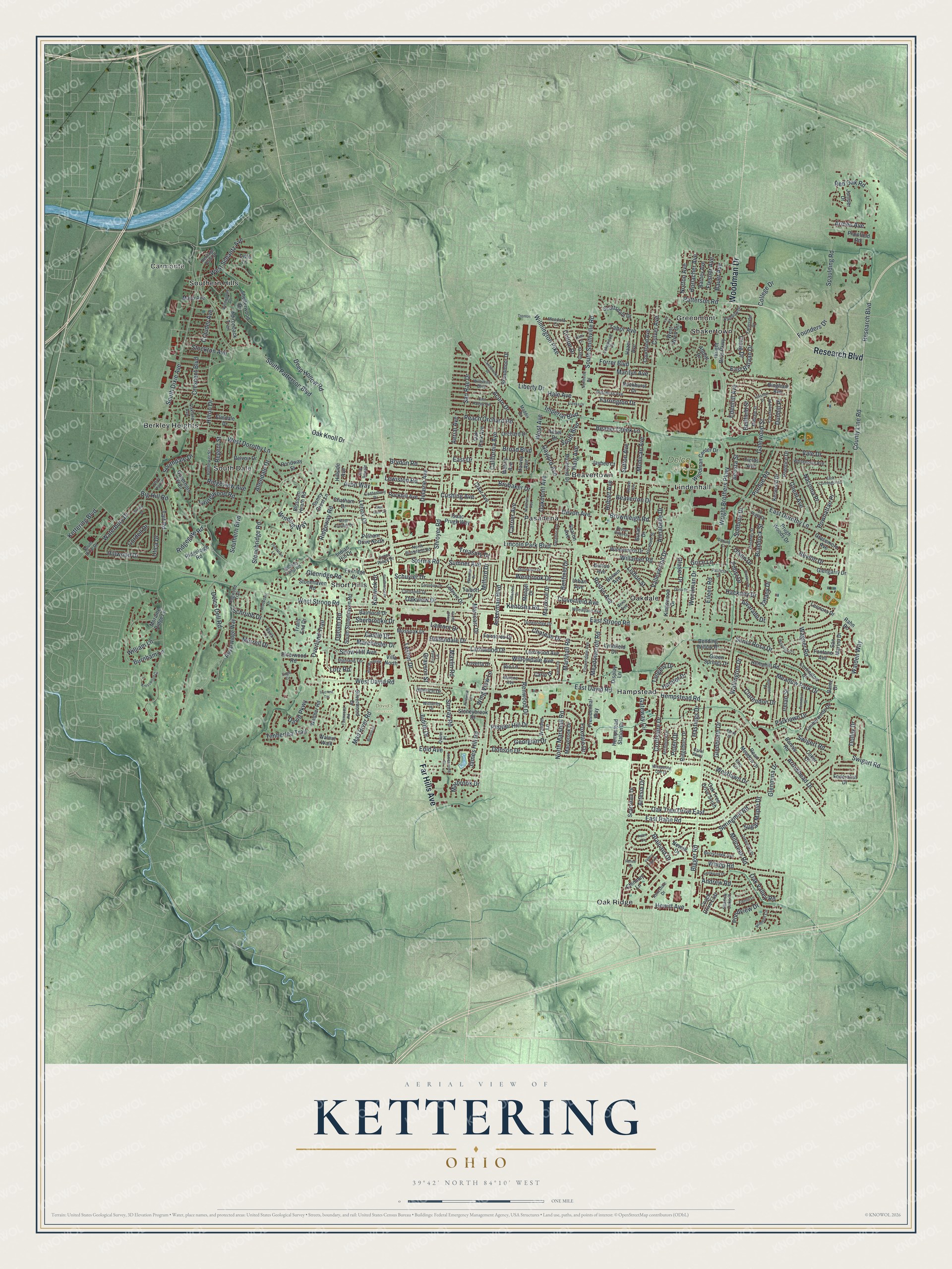
This beautifully detailed map of Kettering, Ohio was created in 2026 using aerial imagery combined with modern topographical, census, street and landmark data. It’s a one-of-a-kind view of Kettering that combines accurate data with a vintage aesthetic. The map shows every building in its true location, many of the roads carry their names, and the shaded topographic relief shows the shape of the land.
Explore an aerial view of Kettering, Ohio
On the map you’ll find Carmonte, David’s Cemetery, Delco Park, Beavertown, Berkley Heights, Greenmont, Hampstead, Lindenhall, Oak Ridge, Oakdale, Pasadena, Shakertown, and more. If you look closely you can even find your house accurately drawn in its correct location. Zoom in on the preview to look for yours.
Did you know this piece of Kettering, Ohio history?
The city took its name from inventor Charles F. Kettering. He made his home at Ridgeleigh Terrace from 1914 until he died in 1958. Township voters chose to form the Village of Kettering in November 1952, and it became a city in 1955.
Take a closer look at the Kettering map
Street and place names on the Kettering, Ohio map
These names are printed on the map of Kettering, Ohio.
Places: Carmonte, David's Cemetery, Delco Park, Beavertown, Berkley Heights, Greenmont, Hampstead, Lindenhall, Oak Ridge, Oakdale, Pasadena, Shakertown, Short Hills, South Dale and Southern Hills.
Streets and roads: Research Boulevard, Far Hills Avenue, Woodman Drive, East Stroop Road, East Dorothy Lane, County Line Road, Brownleigh Road, Whipp Road, Farrington Drive, Patterson Road, West Avenue, Wilmington Pike.
More street names, A to Z
Abbott Drive, Ackerman Boulevard, Acorn Drive, Acosta Street, Acreview Lane, Adirondack Trail, Aerial Avenue, Aero Avenue, Allendale Drive, Alvarado Drive, Andrew Road, Annabelle Drive, Ansel Drive, Appleton Place, Archmore Drive, Arlmont Circle, Armen Avenue, Arrowhead Drive, Artesia Drive, Avon Way, Balmoral Drive, Bantz Drive, Barney Avenue, Barth Lane, Barton Avenue, Bauer Avenue, Beaver Avenue, Beaver Creek Lane, Beaver Ridge Drive, Beaverton Drive, Bellfield Street, Bellflower Street, Belvoir Drive, Bending Willow Drive, Benfield Drive, Berrycreek Avenue, Berwin Avenue, Bigger Road, Big Hill Road, Bingham Avenue, Blocker Drive, Blossom Heath Road, Blue Gate Circle, Bofield Drive, Bonnie Road, Braddock Street, Brainard Drive, Broad Boulevard, Broadmoor Drive, Brookdale Drive, Brookpark Drive, Brubaker Drive, Brydon Road, Bulah Drive, Burnham Lane, California Avenue, Candlewood Drive, Canterbury Drive, Carlo Drive, Carol Parkway, Carrier Avenue, Carrlands Drive, Castle Drive, Chateau Drive, Chatham Drive, Chimney Lane, Claar Avenue, Clarendon Drive, Cloverfield Avenue, Coach Drive East, Coker Drive, College Drive, Colton Drive, Cordell Drive, Corlington Drive, Courtland Avenue, Craig Drive, Crauder Avenue, Crescent Boulevard, Crestwell Place, Croftshire Drive, Cross Ridge Drive, Culver Avenue, Cushing Avenue, Danube Court, David Parkway, Deep Hollow Road, Delaine Avenue, Delaney Street, Delco Dell Road, Devon Avenue, Display Lane, Dogwood Trail, Dolley Drive, Donson Drive, Doris Drive, Dunhill Place, Dutchess Avenue, Eagle Circle, Earnshaw Drive, East Bataan Drive, East Cunnington Lane, East David Road, East Drive, East Hadley Avenue, East Rahn Road, Edenhill Avenue, Eileen Road, Elderwood Road, Elmdale Drive, Elmira Drive, Elzo Lane, Enid Avenue, Eureka Drive, Fairacres Drive, Fairhill Lane, Farmside Drive, Fawnwood Road, Federalist Drive, Fernmont Street, Fields Avenue, Flesher Avenue, Flowerdale Avenue, Fontano Avenue, Forrer Boulevard, Founders Drive, Foxdale Drive, Foxridge Drive, Frieda Lane, Galewood Street, Gateway Circle, Gay Drive, Gaylord Avenue, Georgian Drive, Ghent Avenue, Glaser Drive, Glengarry Drive, Glenheath Drive, Glenmina Drive, Glenridge Road, Governors Trail, Gracemore Avenue, Grayson Street, Greenridge Drive, Green Springs Drive, Grice Lane, Hackney Drive, Haig Avenue, Hale Avenue, Hamlet Drive, Harvey Avenue, Harwood Street, Hastings Drive, Hazel Avenue, Hemphill Road, Hempstead Road, Hempstead Station Drive, Henrich Drive, Heritage Point Drive, Hewitt Avenue, Highland Terrace, Hillside Avenue, Hillwood Drive, Hilton Drive, Hobart Avenue, Hollendale Drive, Horlacher Avenue, Imperial Boulevard, Indian Hill Drive, Irelan Street, Isaac Prugh Way, Ivycrest Terrace, James Hill Road, Jameswood Circle, Jaybee Court, Judith Drive, Juniper Drive, Karen Drive, Kenosha Road, Kentshire Drive, Kenwick Drive, Kerwood Drive, Kettering Boulevard, Kim Lane, Kingswood Drive, Kresswood Circle, Lakewood Drive, Lamont Drive, La Plata Drive, Larriwood Avenue, Larriwood Drive, Laurelwood Road, Lefevre Drive, Lenox Drive, Leonora Drive, Lesher Drive, Lewiston Road, Liberty Drive, Lincoln Park Boulevard, Lisbon Street, Lott Place, Lotz Road, Lovetta Drive, Lynnfield Drive, Lytle Lane, Maddix Drive, Mad River Road, Malone Avenue, Marbrook Drive, Marchester Drive, Maricarr Drive, Marilyn Avenue, Marshall Road, Marybrook Drive, Maryknoll Drive, Maxlin Road, Mayo Avenue, Meadowcroft Road, Meadow Park Drive, Mendota Court, Mengel Drive, Midvale Street, Milford Drive, Millcreek Road, Mohican Avenue, Moraine Ridge Lane, Mossoak Drive, Murrell Drive, Nacoma Place, Newell Drive, North Bromfield Road, North Claridge Drive, North Marshall Road, Norton Avenue, Oakbrooke Drive, Oak Knoll Drive, Oakland Avenue, Oakmont Avenue, Oak Park Avenue, Oak Tree Drive East, Oak Tree Drive South, Oak Valley Road, Oakview Drive, Office Park Drive, Olson Drive, Orchard Drive, Overland Trail, Parklawn Drive, Patricia Drive, Peach Orchard Road, Pelham Drive North, Pepper Hill Drive, Plainfield Road, Plantation Lane, Pobst Drive, Polen Circle, Polen Drive, Pondview Drive, Pondway Street, Powhattan Place, Prentice Drive, Presidential Way, Prugh Woods Drive, Purdue Road, Quinn Place, Rahn Road, Rainbow Drive, Randy Drive, Rean Meadow Drive, Red Oak Road, Regent Street, Renee Drive, Renwood Drive, Revlon Drive, Ridgebury Drive, Ridgegate Road, Ridgeleigh Road, Ridgeview Avenue, Ridgeway Road, Rio Lane, Rockhill Avenue, Rockhurst Drive, Roslyn Avenue, Royal Oak Drive, Royal Ridge Way, Rue Marseille, Rue Royale, Rushland Drive, Sagamon Avenue, San Marino Drive, San Rae Drive, Santa Rosa Drive, Scarsdale Drive, Schrubb Drive, Schuyler Drive, Scottsdale Drive, Shadow Oaks Place, Sharewood Court, Sharon Avenue, Shelterwood Drive, Sherbrooke Drive, Shroyer Road, Silverwood Drive, Smithville Road, Snow Hill Avenue, South Boulevard, Southdale Drive, South Dixie Avenue, South Dixie Drive, Southern Boulevard, South Patterson Boulevard, South Smithville Road, South Stonehaven Road, Spaulding Road, Springmill Road, Stockton Avenue, Stonebridge Road, Stonehaven Road, Stoneybrook Drive, Storms Road, Strathmoor Drive, Sudbury Drive, Sugar Maple Drive, Sumner Avenue, Sunny Crest Lane, Sunray Road, Sutton Avenue, Swigart Road, Swigert Road, Tabor Avenue, Tait Road, Talbott Drive, Talisman Drive, Tangent Drive, Tiffany Drive, Timberlea Trail, Timberwilde Drive, Trails End Drive, Treasury Drive, Trenton, Upham Road, Uplands Camp Road, Urban Avenue, Utica Drive, Vale Drive, Valley Forge Drive, Valleywood Drive, Villa North, Villanova Drive, Wagner Road, Walden Lane, Walden Way, Wallington Drive, Walnut Walk, Waltham Avenue, Walther Road, Waterbury Drive, Wehrly Avenue, Wenbrook Drive, Wenzler Drive, West David Road, West Dorothy Lane, Westlawn Drive, West Schantz Avenue, West Stroop Road, West Wren Circle, Weybright Court, Wheatland Avenue, Whispering Oak Drive, Whitehorse Avenue, Willamet Road, William Lane, Willowdale Avenue, Willowgrove Avenue, Wiltshire Boulevard, Windemere Drive, Winding Way, Wing View Lane, Witherby Drive, Woodman Center Drive, Wright Bros Parkway, Wright Brothers Parkway.
See the Kettering, Ohio map on a wall
The Kettering map as an 18 x 24 inch print in a black frame.

This beautifully detailed map of Kettering makes an attractive addition to your office, library, or den, and it can even be used to teach children the geography and history of the area. It also makes a great gift for someone who left Kettering and still calls it home. When you’re done exploring, click here to get your copy of the Kettering map.