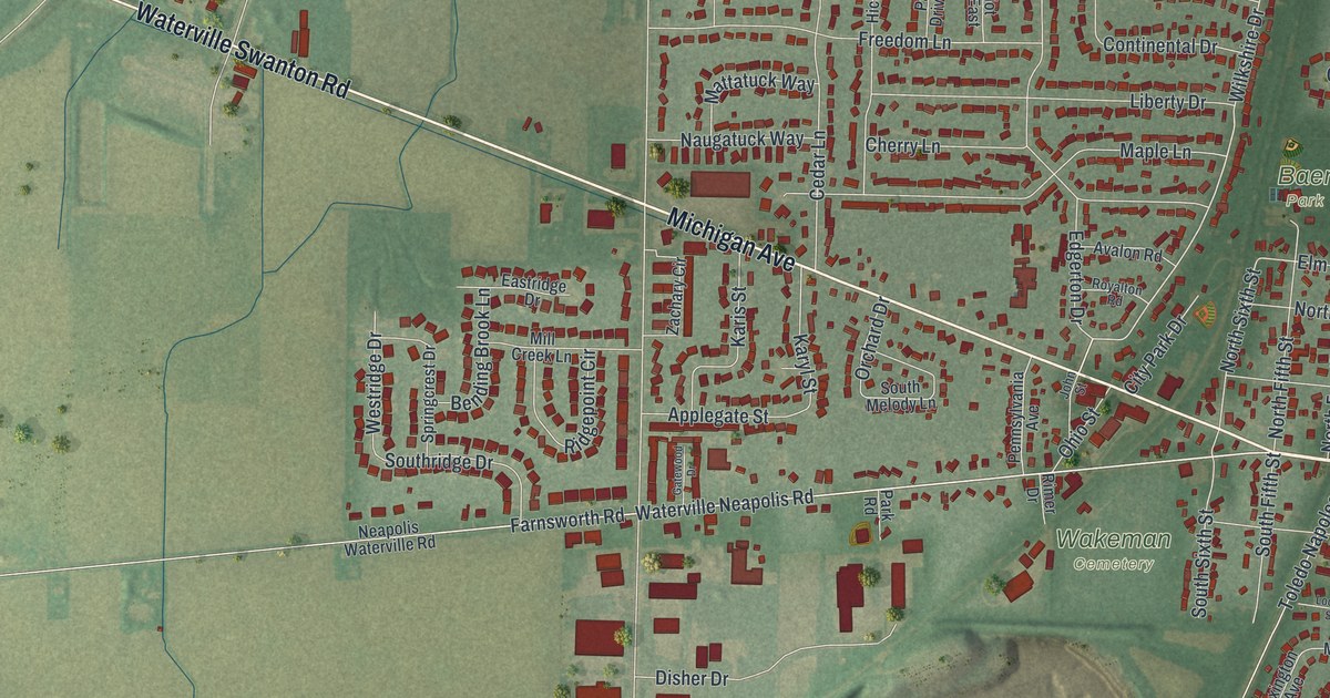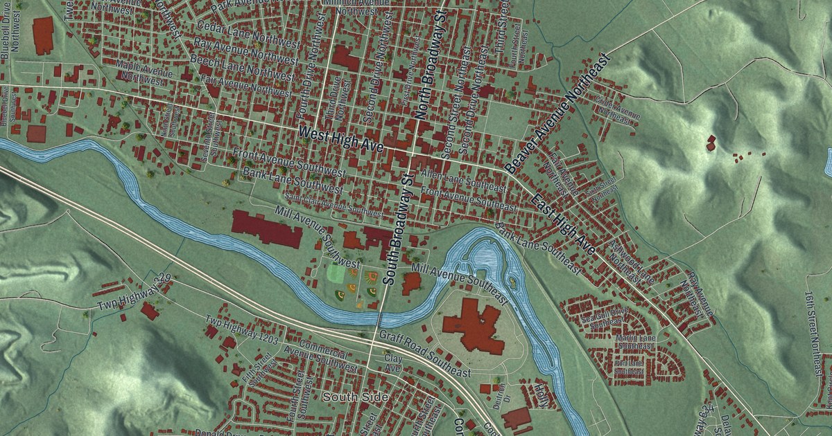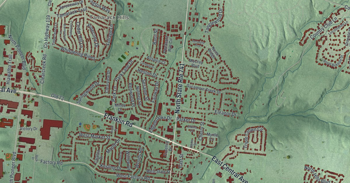
If you grew up in Springboro or still drive Main Street every day, this map puts your whole town on one sheet. It's a modern aerial view of Springboro in Warren County, Ohio, made from modern data and given a vintage look. You'll see Main Street and Central Avenue at the heart of town, the neighborhoods all around them, and green hills cut by small creeks. A blue creek winds across the lower part of the sheet past Clearcreek Park.
Main Street, Central Avenue and the Streets of Springboro
On this map you'll find North Main Street, South Main Street, West Central Avenue, East Central Avenue, Franklin Road, Springboro Pike, West State Street, Factory Road, Clearcreek Park, Royal Springs Estates, Tamarack Hills, Flat Iron, Pennyroyal Road, Tamarack Trail, and more. Each red shape is a building, so zoom in on the preview and look for yours.
How Jonathan Wright Named Springborough
Springboro got its name from water. Jonathan Wright and his wife, Mary, came here from Pennsylvania in 1814. They brought their five children. Jonathan had learned surveying from his father, Joel, who laid out the city of Columbus. Jonathan laid out a new village and called it "Springborough." He named it for the many springs nearby. The Wright family went on to run a woolen factory, two flour mills, a general store and a 320 acre farm.
The Wright House on West State Street
The Wrights built a Federal style house at 80 West State Street. They were Quakers, and they were against slavery. Their house was a station on the Underground Railroad. People running from slavery found help there on their way to freedom. The Ohio marker for the Jonathan Wright Homestead tells this story. Jonathan, Mary and four of their children are buried in the Friends Cemetery on Factory Road. Look for West State Street and Factory Road on the map.
Springboro From Tamarack Hills to Flat Iron
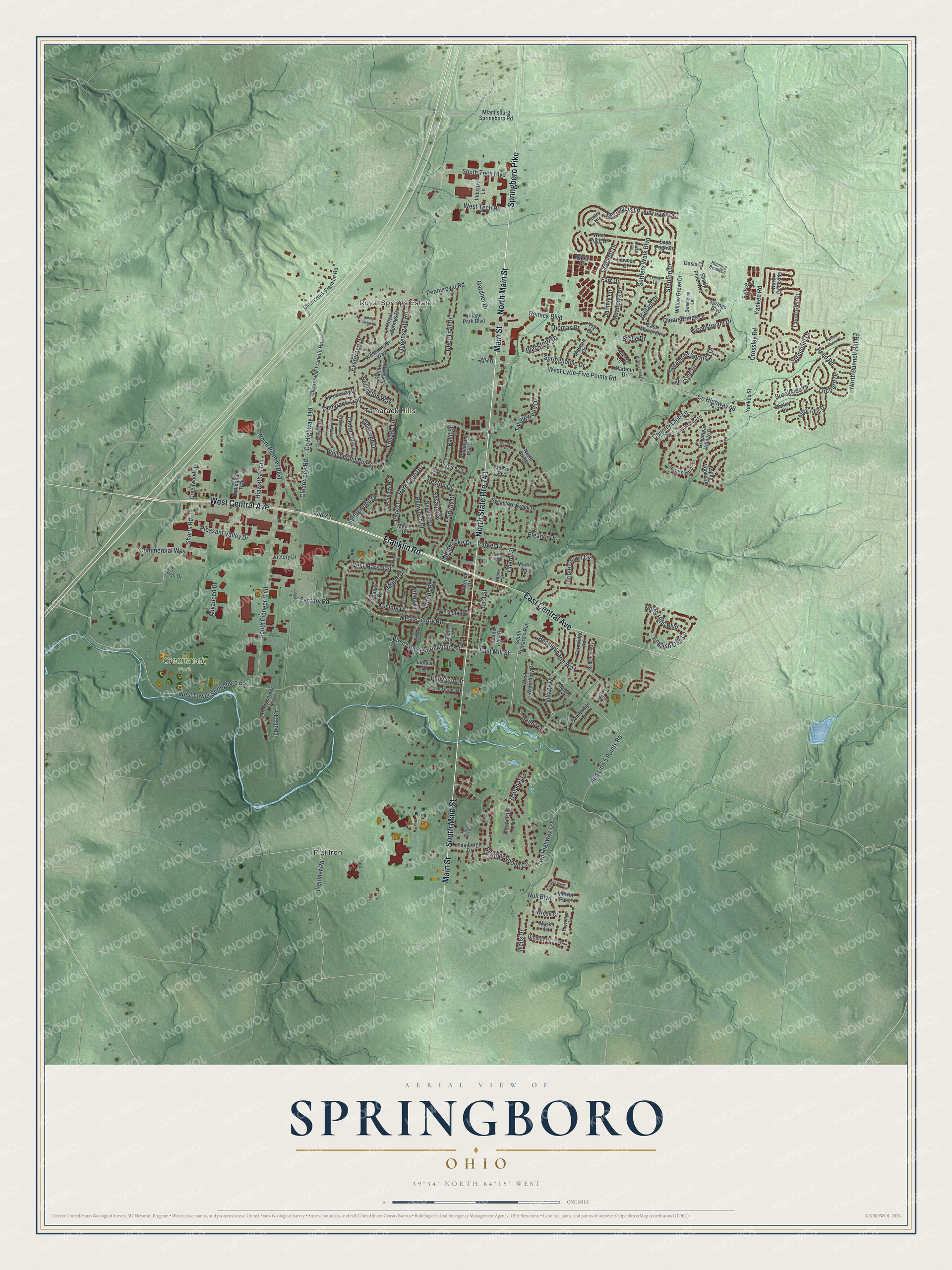
Created by KNOWOL in 2026, the print shows Springboro in soft greens, with shaded hills, thin blue creeks and buildings in deep red. The title panel at the bottom reads "Aerial View of Springboro, Ohio" with the coordinates 39°34' North 84°15' West.
It looks good in a living room, a home office or a front hall. It's a fine gift for someone who grew up near Clearcreek Park, or for a friend who moved away from Royal Springs Estates. Open the preview and find your own street. See sizes and frames for the Springboro map.