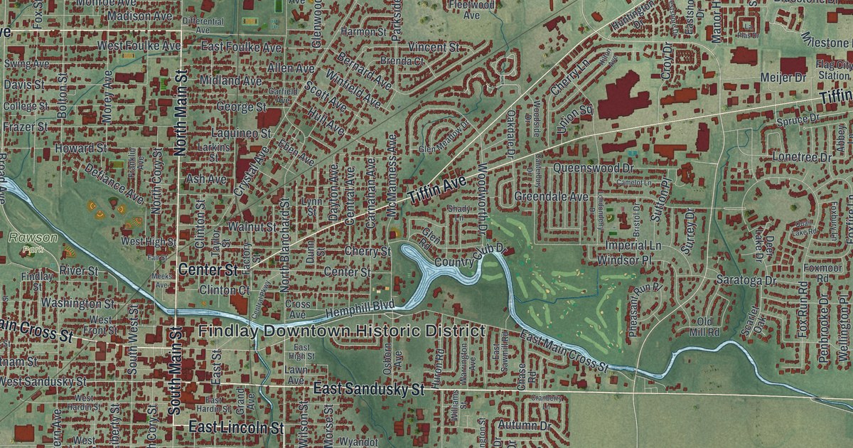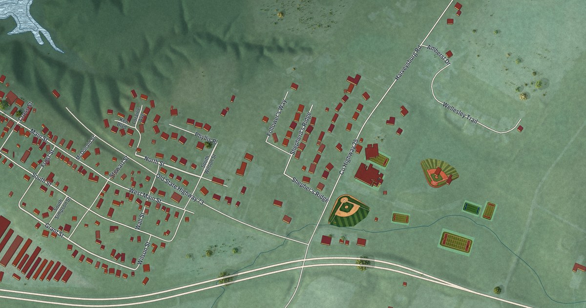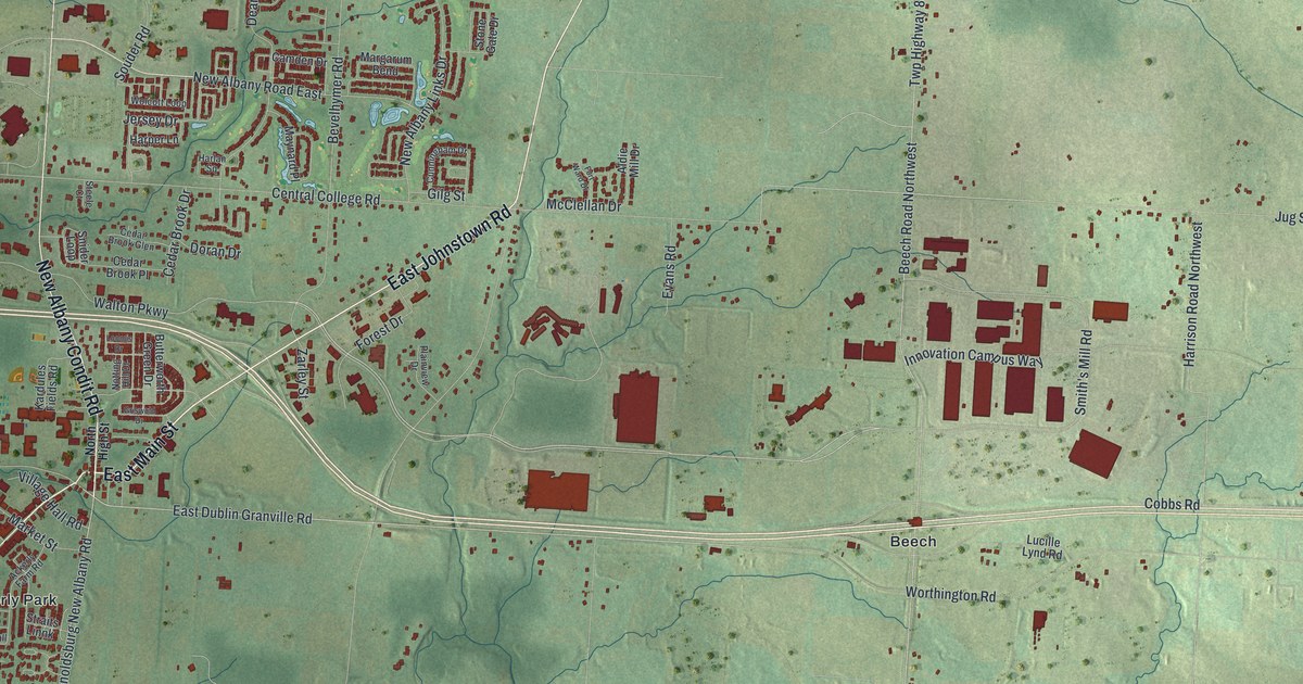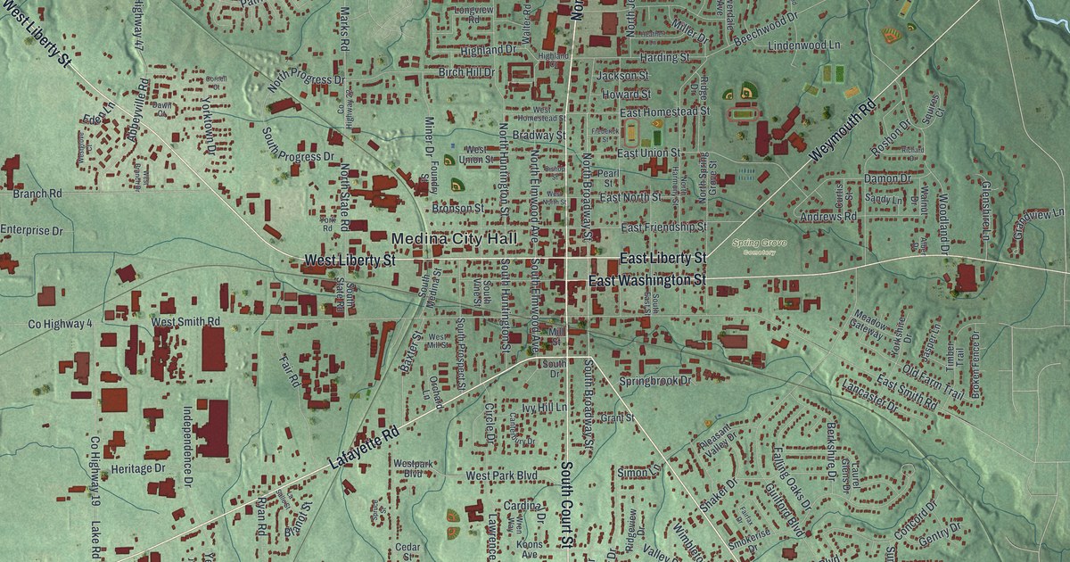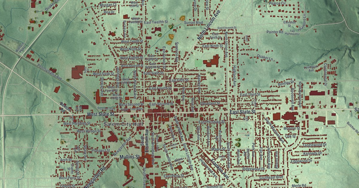
If you grew up in Salem, or still have family on its streets, this map is for you. It's a modern aerial view of Salem in Columbiana County, Ohio, made from modern data and given a vintage artistic look. Red buildings pack in tight along East State Street and West State Street. Green, shaded hills roll out on every side, and a thin blue stream winds down the right edge.
Unserheim, a safe house on Franklin Avenue
One house on Franklin Avenue holds a big part of Salem's story. It's called Unserheim, which means “Our Home” in German. From 1857 to 1878, it was the home of Daniel Howell Hise. He was a Quaker, and he fought to end slavery. An Ohio History Connection marker calls the house a major stop on the Underground Railroad. Its secret rooms and a tunnel hid people who had escaped slavery on their way to freedom.
In 1849, Hise wrote, “Welcome! Welcome to the protection I can give, with or without the law.” Later he helped put up a monument to Edwin Coppock at Hope Cemetery. Coppock was put to death for joining John Brown's raid at Harpers Ferry. Hise stood up for women's rights, too. Susan B. Anthony and Sojourner Truth were guests in his home. The house still stands at 1100 Franklin Avenue, southeast of Salem City Hall. It's on the National Register of Historic Places.
East State Street, Centennial Park and more
On this map you'll find East State Street, West State Street, Salem City Hall, Centennial Park, Kelley Park, Franklin Avenue, North Lincoln Avenue, South Lincoln Avenue, North Ellsworth Avenue, South Broadway Avenue, Newgarden Road, Salem Parkway, Quaker Lane, Sugar Tree Alley, and more. Each red shape is a building, so zoom in on the preview and look for yours.
From Salem City Hall to Kelley Park
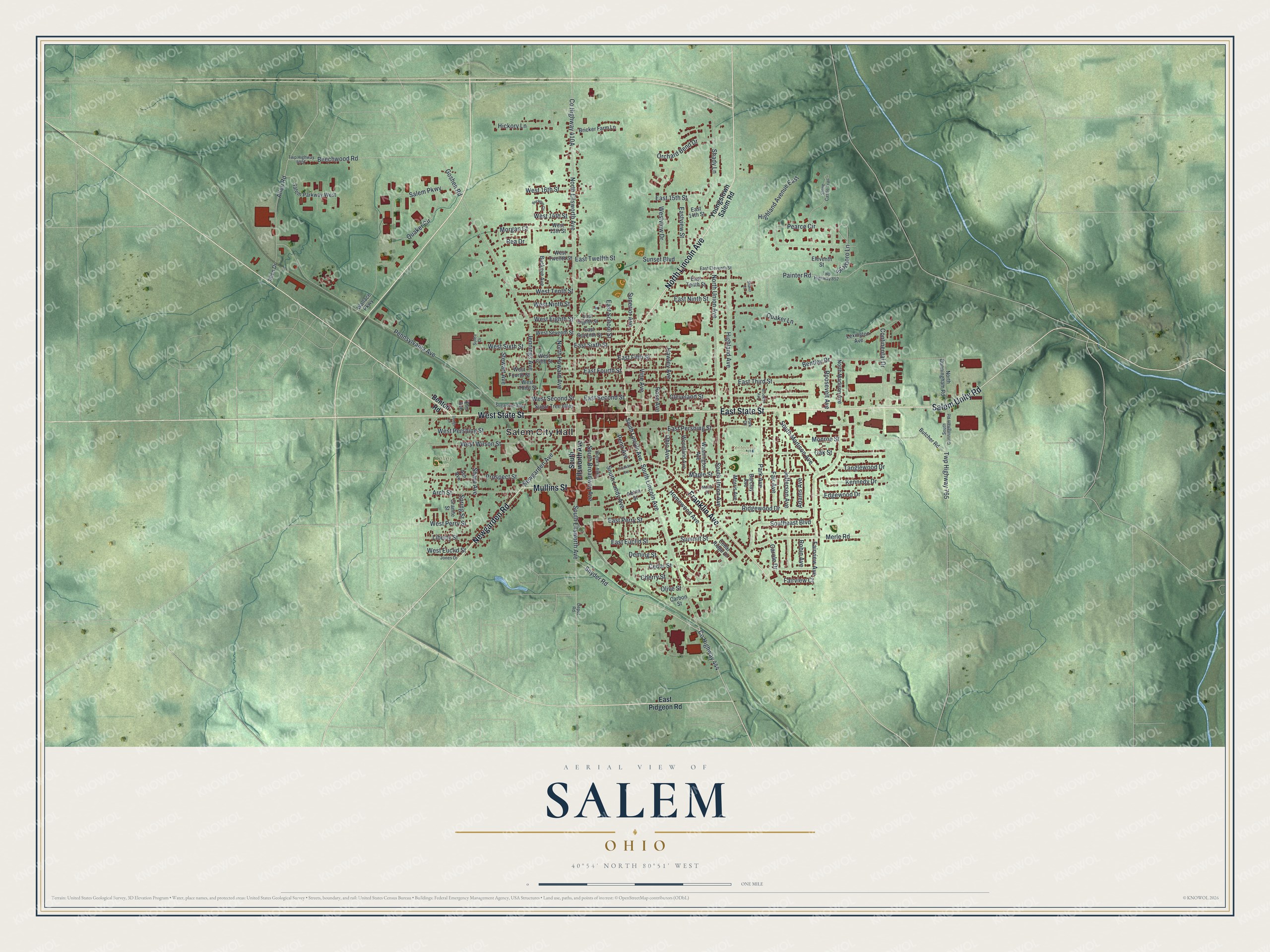
Created by KNOWOL in 2026, this print shows Salem from above, with red buildings set on soft green hills shaded to show the land's rise and fall. Street names sit right on the map. The cream title panel below reads AERIAL VIEW OF SALEM, OHIO, 40°54' NORTH 80°51' WEST.
It fits a living room, a front hall or a home office. It's a good gift for someone who moved away from Salem and still knows the way to Centennial Park. Open the preview and find your own street. See sizes and frames for the Salem map.