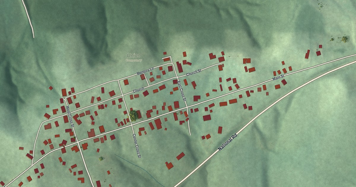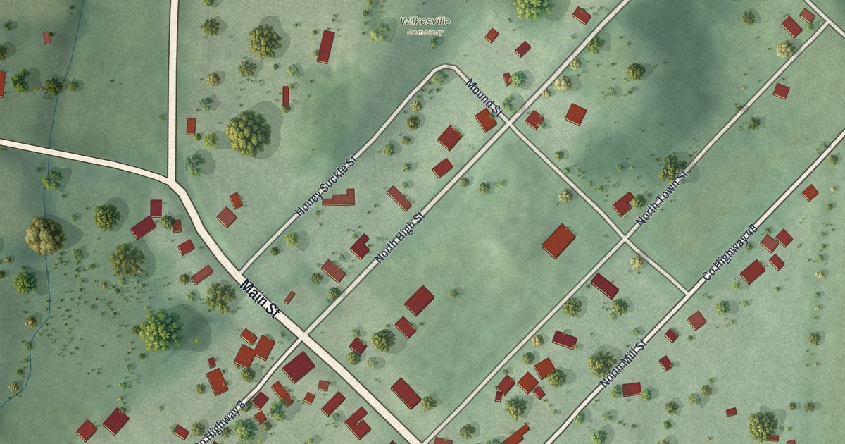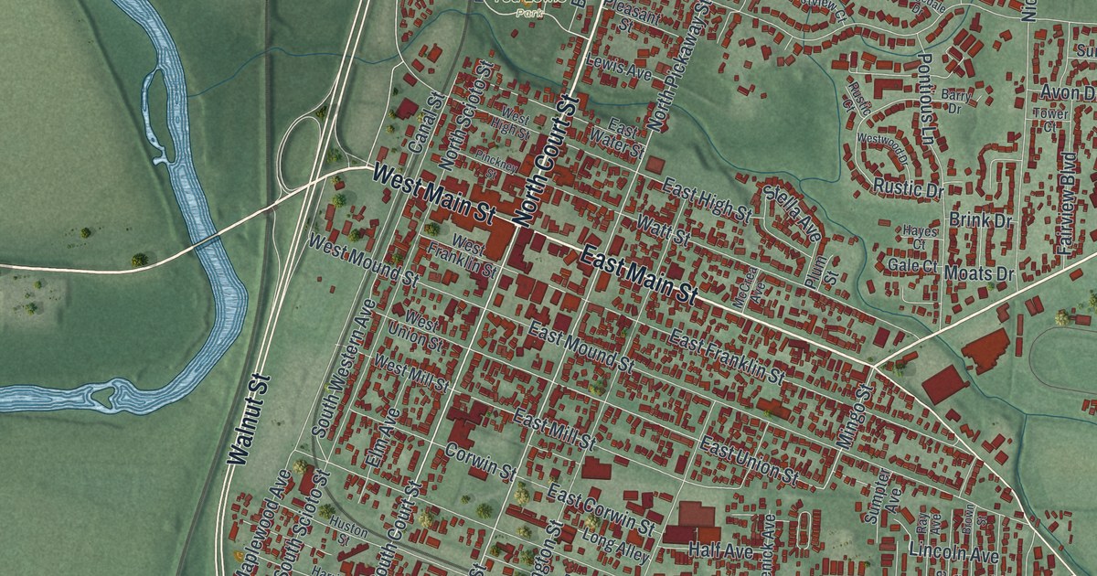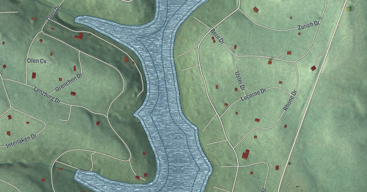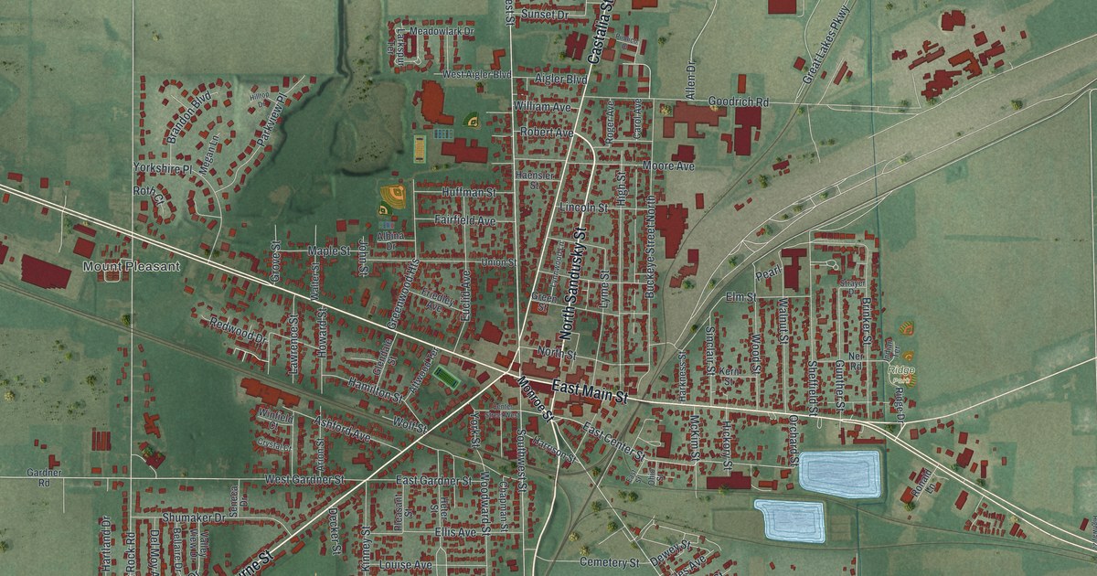
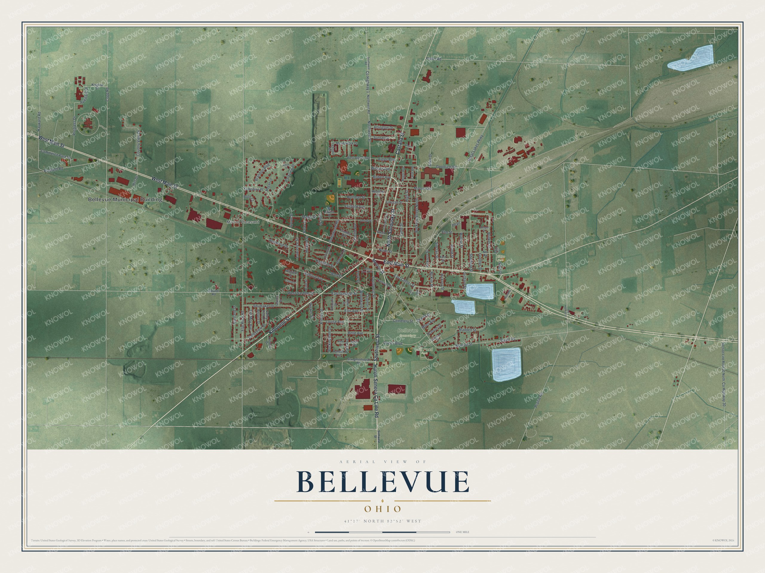
This beautifully detailed map of Bellevue, Ohio was created in 2026 using aerial imagery combined with modern topographical, census, street and landmark data. It’s a one-of-a-kind view of Bellevue that combines accurate data with a vintage aesthetic. The map shows every building in its true location, many of the roads carry their names, and the shaded topographic relief shows the shape of the land.
Explore an aerial view of Bellevue, Ohio
On the map you’ll find Bellevue Municipal Building, Mount Pleasant, Bellevue Cemetery, Mill Pond Park, and Ridge Park, along with Southwest Street, Huron-Seneca Co Line Road, North Sandusky Street, Kilbourne Street, West Main Street, East Main Street, Castalia Street, and more. If you look closely you can even find your house accurately drawn in its correct location. Zoom in on the preview to look for yours.
Did you know this piece of Bellevue, Ohio history?
Henry Morrison Flagler lived in Bellevue when he joined John D. Rockefeller to start Standard Oil. He later built the Florida Overseas Railroad to Key West. The Mad River and NKP Railroad Museum now stands where his Bellevue home was.
Take a closer look at the Bellevue map
Street and place names on the Bellevue, Ohio map
These names are printed on the map of Bellevue, Ohio.
Places: Bellevue Municipal Building, Mount Pleasant, Bellevue Cemetery, Mill Pond Park and Ridge Park.
Streets and roads: Southwest Street, Huron-Seneca County Line Road, North Sandusky Street, Kilbourne Street, West Main Street, East Main Street, Castalia Street, Northwest Street, East Center Street, Monroe Street, County Highway 1, West Gardner Street.
More street names, A to Z
Aigler Boulevard, Albina Drive, Allen Drive, Arion Street, Arlington Drive, Ashford Avenue, Attwood Terrace, Auxiliary Drive, Bauer Road, Bellaire Drive, Belle Avenue, Brandon Boulevard, Brinker Street, Buckeye Street North, Buckingham Drive, Carol Avenue, Cemetery Street, Center Street West, Chapman Street, Cherry Boulevard, Commerce Park Drive, Copp Road, Country View Drive, County Highway 30, Crystal Court, Decker Street, Del Moy Avenue, Dewey Street, East Gardner Street, East Street, Ellis Avenue, Elm Street, Euclid Avenue, Fairfield Avenue, Flat Rock Road, Friedley Avenue, Gardner Road, Glendale Street, Goodrich Road, Great Lakes Parkway, Green Street, Greenwood Heights, Grove Street, Gunther Street, Haensler Street, Hamilton Street, Harkness Street, Harrison Street, Hartland Drive, Hayward Road, Heter Street, Hickory Street, High Street, Hilltop Drive, Hirt Drive, Hobson Street, Howard Street, Huffman Street, Indian Terrace, John Street, Kern Street, Kinney Street, Kreglow Drive, Larkspur Terrace, Lawrence Street, Lincoln Street, Louise Avenue, Lyme Street, Lynnwood Lane, Madden Street, Maple Street, McKim Street, Meadowlark Drive, Megan Lane, Miles Avenue, Moore Avenue, Ner Road, North Street, Northwest Road, Ohio Street, Orchard Street, Park Avenue, Parkview Place, Pearl, Pimlico Place, Pine Court, Pleasant Street, Portland Road, Potter Road, Prairie Road, Progress Drive, Randall Avenue, Redwood Drive, Ridge Drive, Robert Avenue, Roger Avenue, Ronald Lane, Roth Court, Sampson Street, Section Line Road 30 North, Seneca Drive, Sheffield Street, Shumaker Drive, Sinclair Street, Slaughterhouse Road, Smith Avenue, Sothwest Street, Southwest Road, Strayer Drive, Sunset Drive, Thomas Drive, Twp Highway 22, Union Street, Valleyview Drive, Valley View Drive, Walnut Street, Walter Street, West Aigler Boulevard, William Avenue, Winfield Court, Wolf Street, Wood Street, Woodward Street, Yorkshire Place, York Street.
See the Bellevue, Ohio map on a wall
The Bellevue map as an 18 x 24 inch print in a black frame.

This beautifully detailed map of Bellevue makes an attractive addition to your office, library, or den, and it can even be used to teach children the geography and history of the area. It also makes a great gift for someone who left Bellevue and still calls it home. When you’re done exploring, click here to get your copy of the Bellevue map.