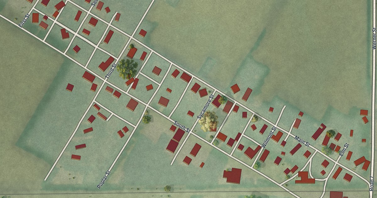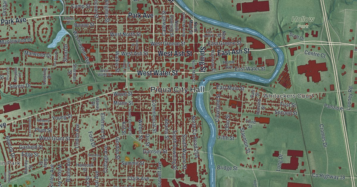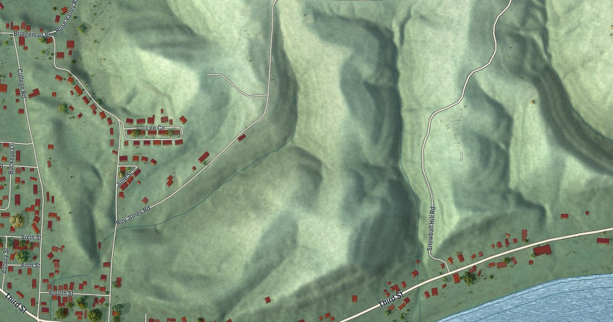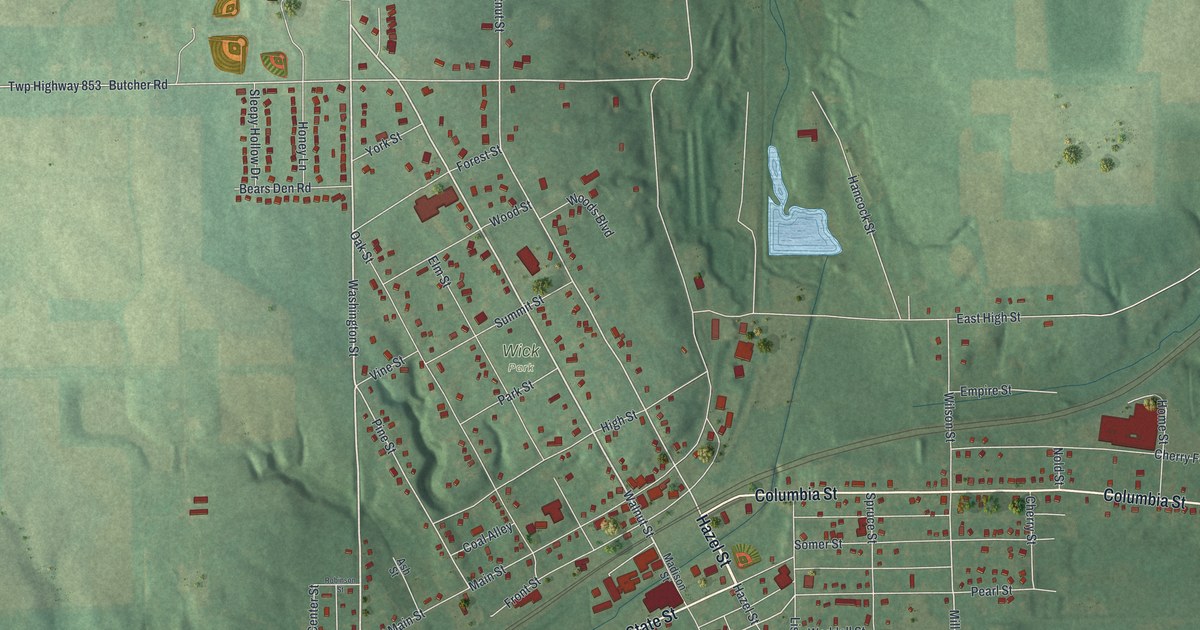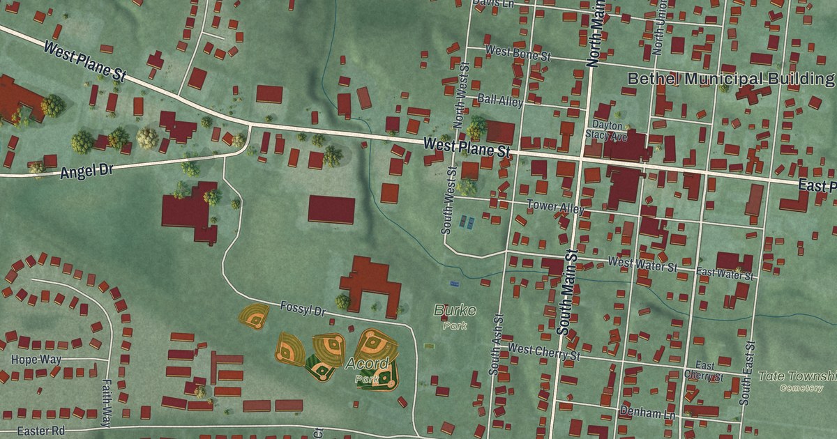
If you grew up in Bethel, look for your old block. This modern aerial view of Bethel in Clermont County, Ohio, uses modern data with a vintage feel. Red buildings fill the town's street grid, with green land around it. Pale roads and blue water stand out against the shaded ground.
Plane Street, Main Street, and Bethel's parks
On this map you'll find West Plane Street, East Plane Street, North Main Street, South Main Street, Burke Park, Acord Park, North Charity Street, South Charity Street, West Water Street, West Circus Street, Easter Road, Tate Township Cemetery, and more. Each red shape is a building, so zoom in on the preview and look for yours.
Bethel's early story includes people who spoke out against slavery. The Early Settlers Burying Ground marker names Obed Denham as its founder in 1798. It also calls him a pioneer in the fight to end slavery. He gave the land for the burial ground, where he's buried. Thomas Morris rests there too. He fought slavery and served in the U.S. Senate from 1833 to 1839. Look for North Main Street and West Circus Street on the map. The marker stands on the west side of North Main Street, near that crossing. Those familiar street names help you place this part of Bethel's story.
Keep Bethel and Burke Park close
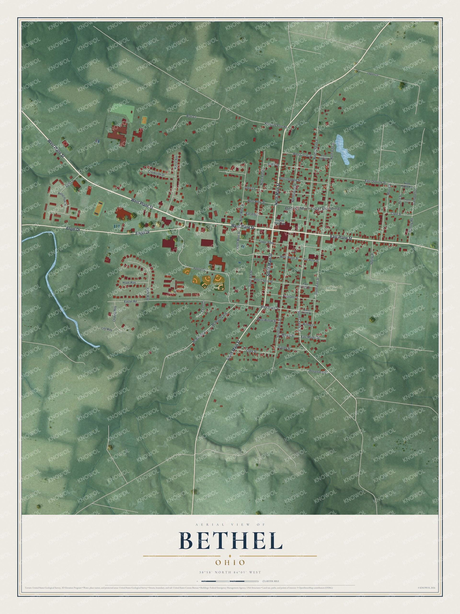
Created by KNOWOL in 2026, this print pairs green shaded land with red buildings, pale roads, and blue water. A cream border surrounds the view. The title panel reads AERIAL VIEW OF BETHEL, OHIO, with 38°58' NORTH 84°05' WEST below.
Hang it in a living room, home office, or entryway. It's a thoughtful gift for someone who grew up near Burke Park or has family in Bethel. Open the preview and look for the streets that bring home to mind. See sizes and frames for the Bethel map.