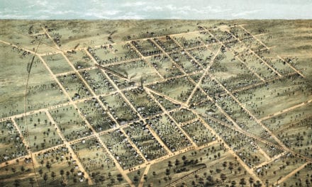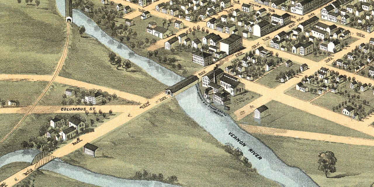
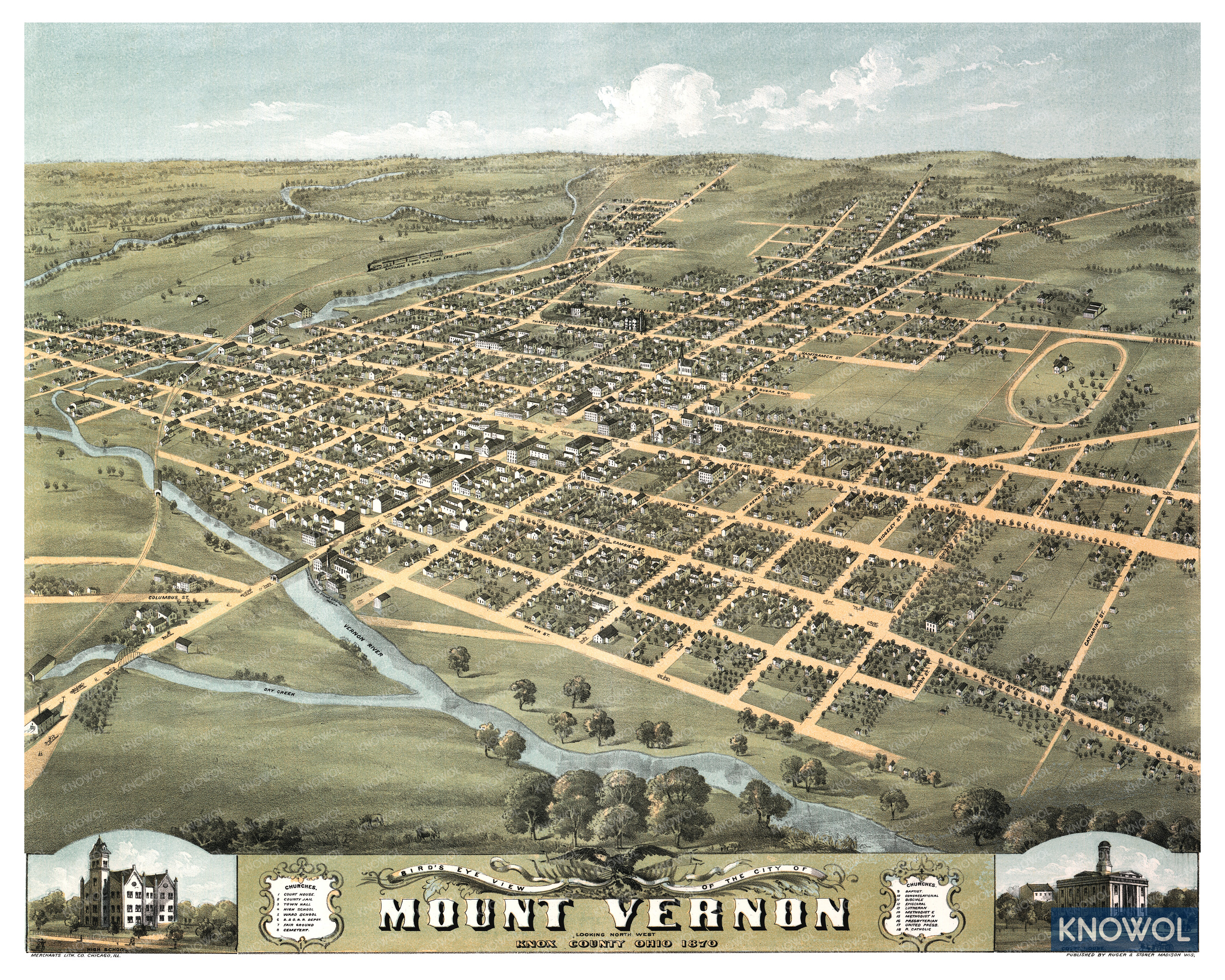
This historic map of Mount Vernon, Ohio was created in 1870 by Albert Ruger & J.J. Stoner, prominent 19th century map makers. The map shows a bird’s eye view of the area as it used to look, including street names and old landmarks.
Landmarks on the map include Vernon River, Mount Vernon High School, Court House, Baltimore & Ohio Railroad Lake Erie Division, Dry Creek, Fair Grounds, Town Hall, and more.
This historic map of Mount Vernon has been restored by KNOWOL. Reproductions of the restored map are available here.
Historic Old Map of Mount Vernon, Ohio from 1870
This vintage map of Mount Vernon makes an attractive addition to your office, library, or den, and can even be used to teach children the geography and history of the area. When you’re done exploring, click here to get your copy of the restored map.