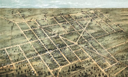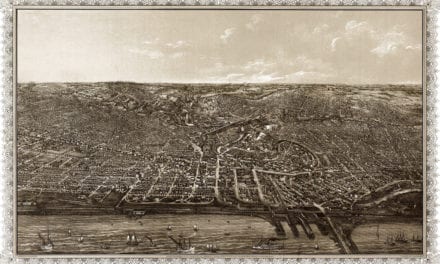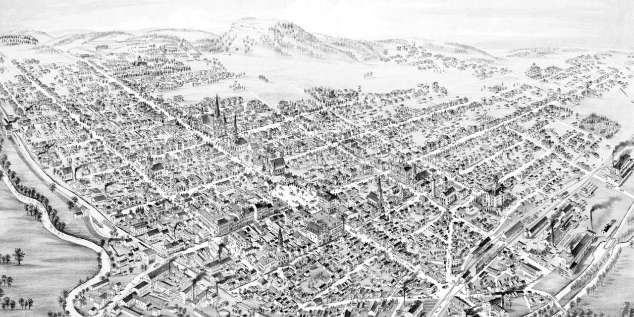
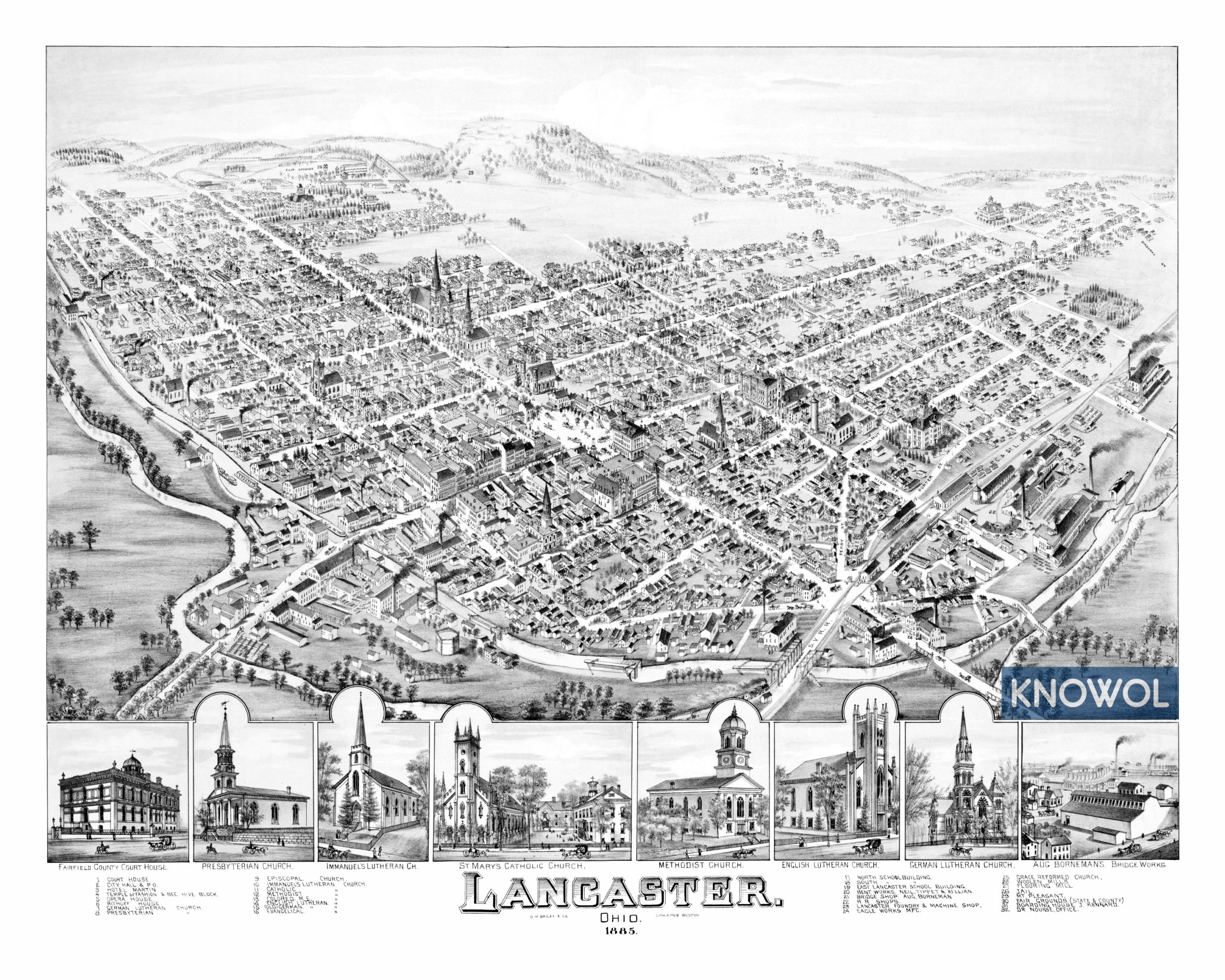
This map of Lancaster, Ohio was created in 1885 by O.H. Bailey & Company, a prominent 19th century map maker. The map features a detailed bird’s eye view of Lancaster as it was, including street names and old landmarks.
Landmarks on the map include the Temple of Fashion, Bee Hive Block, Hotel Martin, Lancaster Opera House, Railroad Shops, Lancaster Foundry & Machine Shop, Eagle Works Manufacturing, Mount Pleasant, and more.
This historic map of Lancaster has been restored by KNOWOL. Reproductions of the map are available here.
Click here to see Lancaster, Ohio in 1885
This map of Lancaster will make an attractive addition to your office, library, or den and can even be used to teach children the geography and history of the area. When you’re done exploring, click here to get your copy.