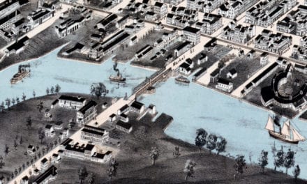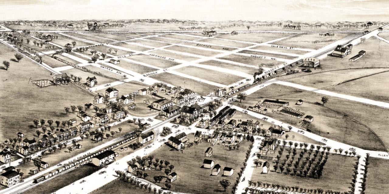
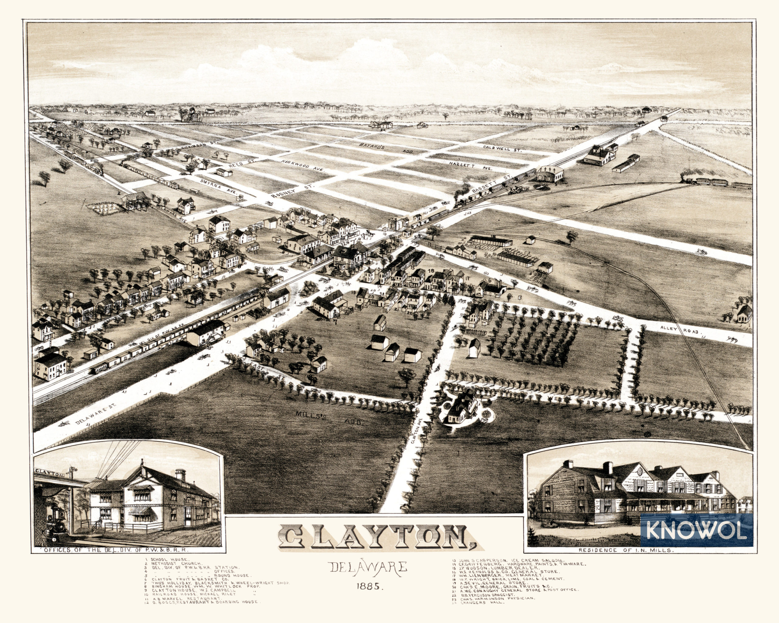
This map of Clayton, Delaware was first published in 1885 by O.H. Bailey, a prominent 19th century map maker. His drawing shows a bird’s eye view of the town as it looked when less than 500 people lived there. Street names and landmarks are clearly labeled on the map.
Old Clayton landmarks on the map include Clayton Fruit & Basket Company, Bingham House, Clayton Hotel, Boggs Restaurant & Boarding House, Casperson’s Ice Cream Saloon, Griffenberg’s Hardware, Paints & Tin-ware, Lienberger’s Meat Market, and more.
This historic map of Clayton, DE has been restored by KNOWOL. Reproductions of the map are available here.
Click here to see Clayton, Delaware in 1885
This old map of Clayton will make an attractive addition to your office, library, or den and can even be used to teach children the geography and history of the area. When you’re done exploring, click here to get your copy.