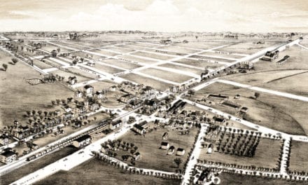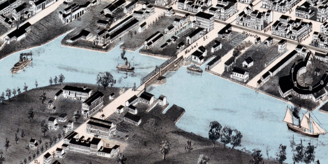
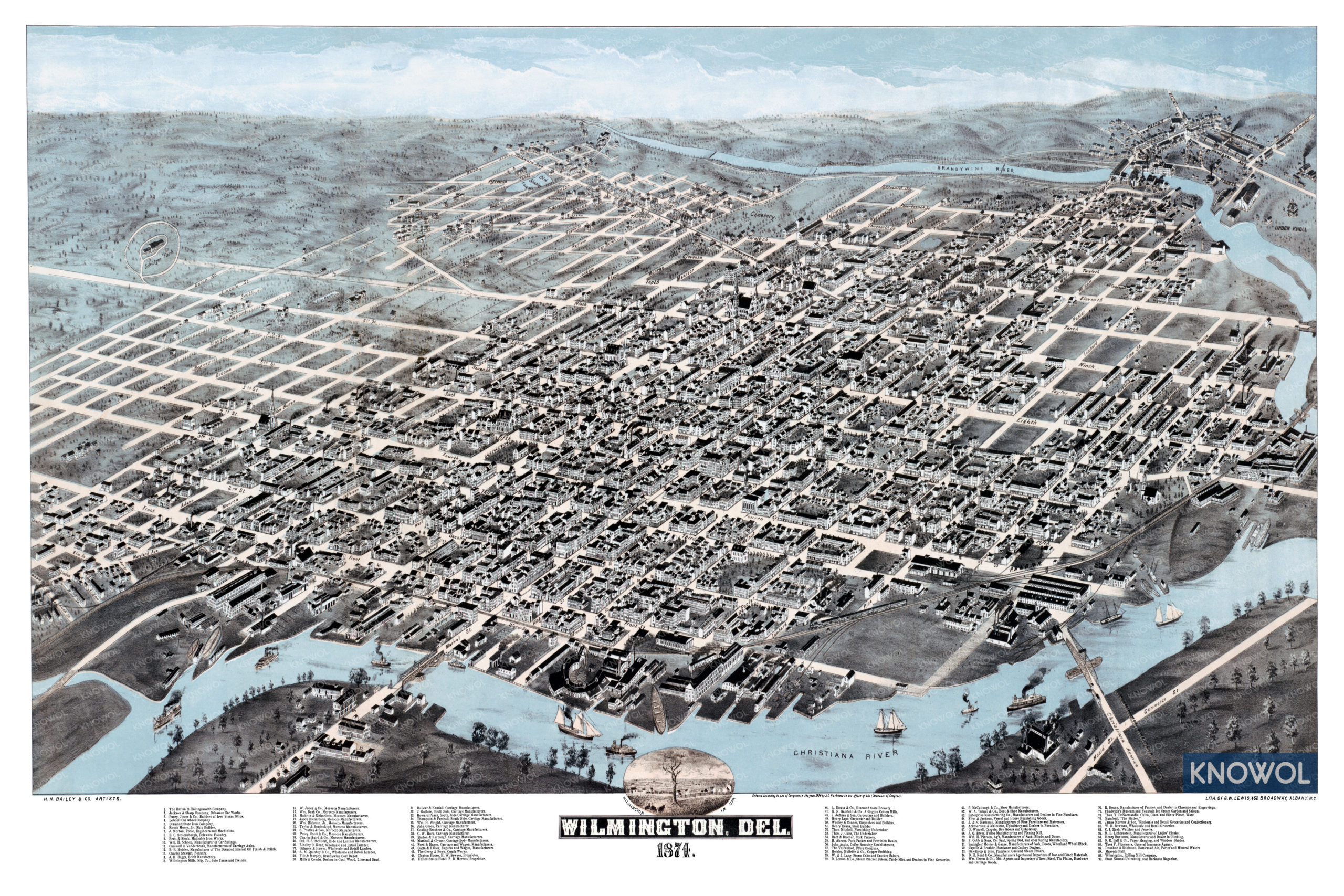
This historic map of Wilmington, Delaware was created in 1874 by Howard Heston Bailey, a prominent 19th century map maker. The map shows a bird’s eye view of the area as it used to be, including street names and old landmarks.
Landmarks on the map include Lobdell’s Car Wheel Company, Bregg’s Brick Manufactory, Diamond State Brewery, Hart and Brother Pork Packers, Aspin’s Coffee Roasting Establishment, Chadwick’s Museum and Fountain Ice Cream Garden & Saloon, Morocco Manufacturers, Carriage Manufacturers, and more.
This historic map of Wilmington has been restored by KNOWOL. Reproductions of the restored map are available here.
Historic Old Map of Wilmington, Delaware from 1874
This vintage map of Wilmington makes an attractive addition to your office, library, or den, and can even be used to teach children the geography and history of the area. When you’re done exploring, click here to get your copy of the restored map.