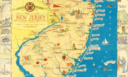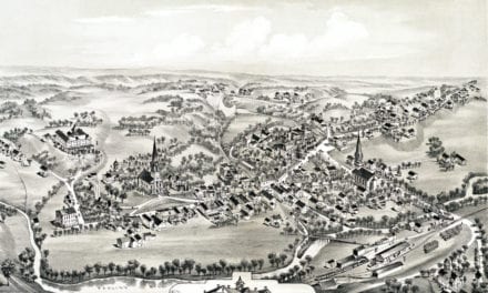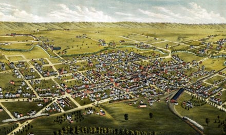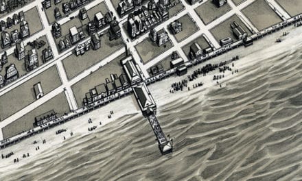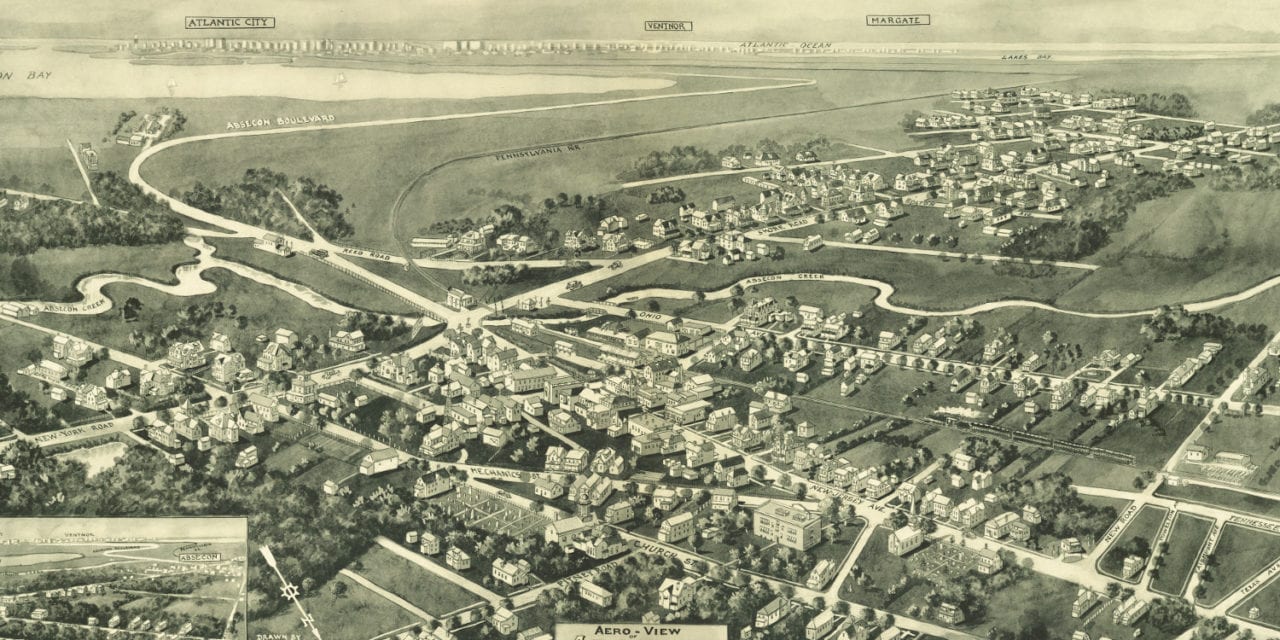
This old map of Absecon, New Jersey was created in 1924 by Rene Cinquin, a prominent 19th century illustrator. The map shows a bird’s eye view of Absecon as it used to be, including street names and old landmarks.
Landmarks on the map include Absecon Bay, Absecon Creek, Pennsylvania Railroad, Etris & Company Coal and Feed, Presbyterian Church, Methodist Church, The First National Bank, and more. The map also features a sketch of a proposed 18 hole golf course in Absecon Gardens.
This historic map of Absecon, NJ has been restored by KNOWOL. Reproductions of the map are available here.
Bird’s eye view of Absecon, NJ in 1924
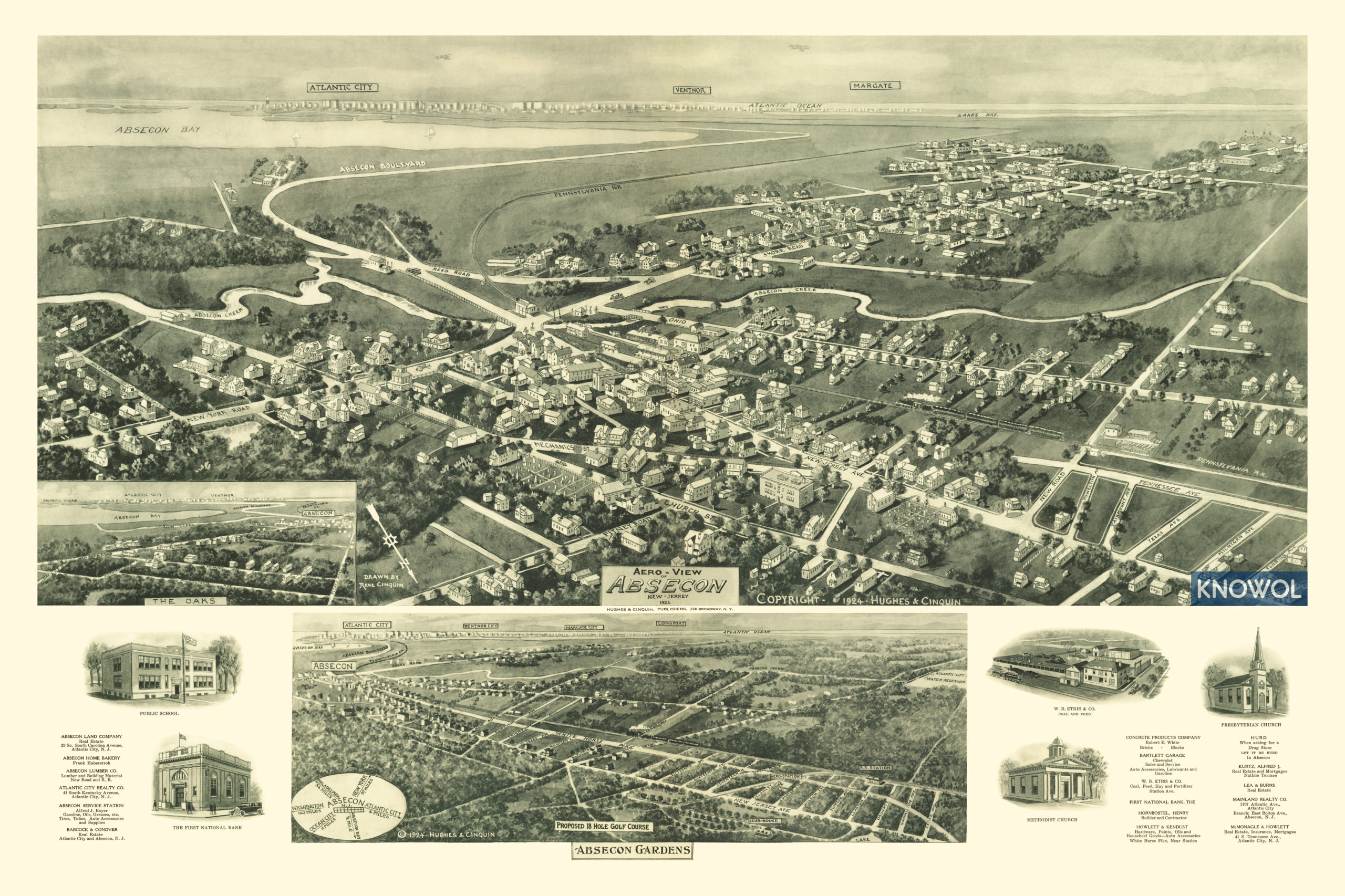
This historic map of Absecon will make an attractive addition to your office, library, or den and can even be used to teach children the geography and history of the area. When you’re done exploring, click here to get your copy.