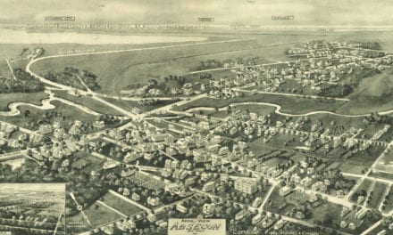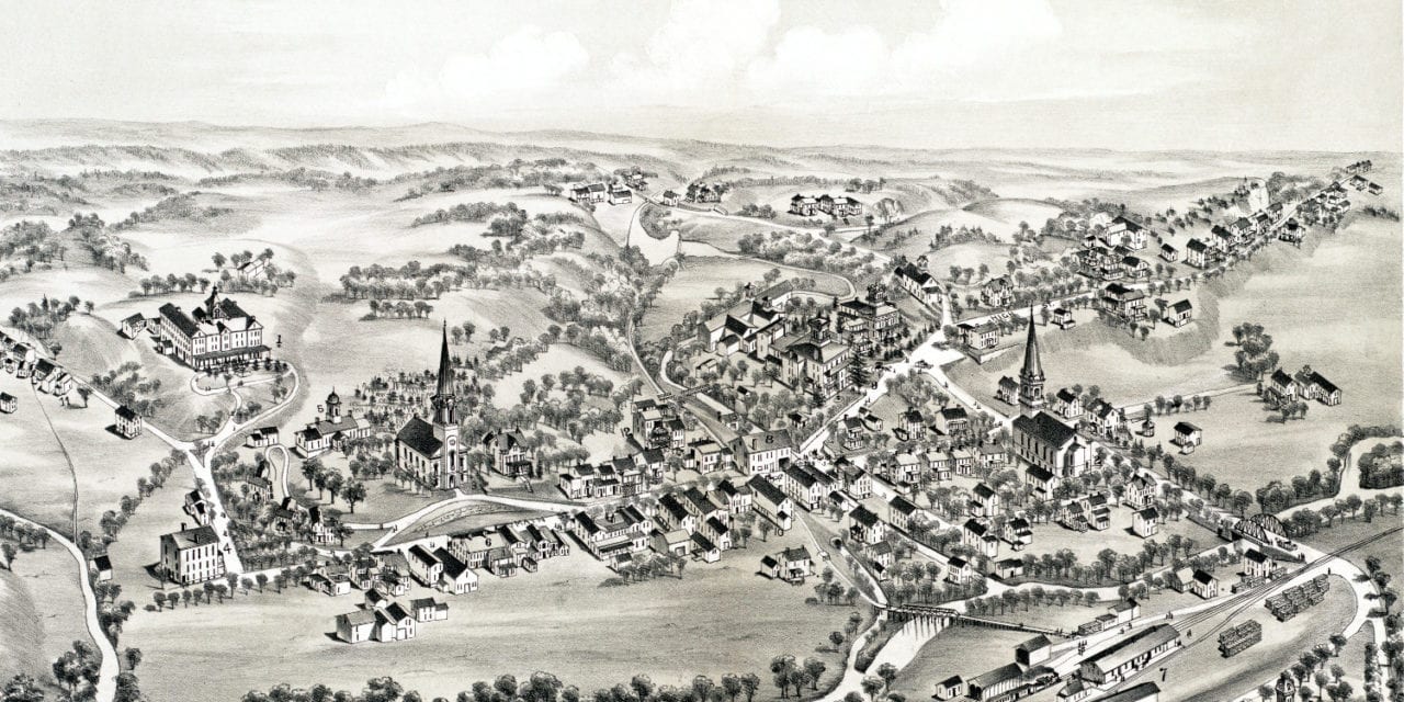
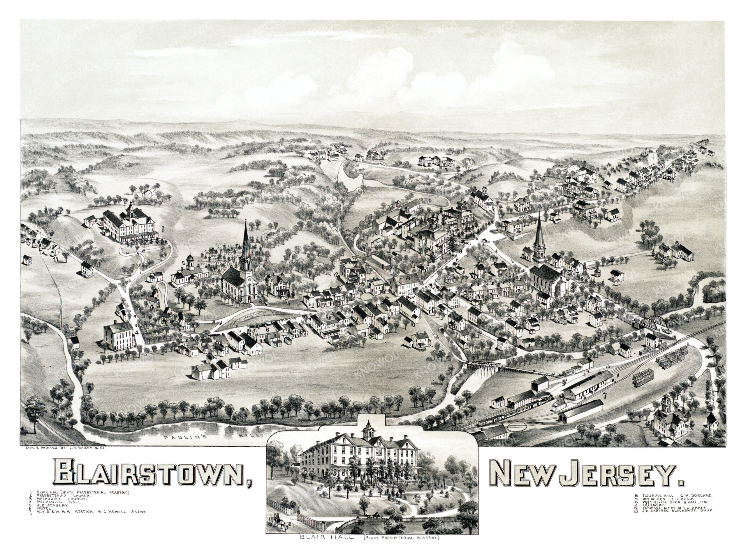
This map of Blairstown, New Jersey was created in 1883 by O.H. Bailey, a prominent 19th century cartographer. The map shows a detailed bird’s eye view of Blairstown as it used to be, including street names and old landmarks.
Landmarks on the map include Blair Hall, Methodist Church, Mechanic’s Hall, Old Academy, Blairstown Hotel, New York, Susquehanna and Western Railway Station, a Flouring Mill, Creamery, Drake’s Carriage Manufactury, Carter’s Blacksmith Shop, and more.
This historic map of Blairstown, NJ has been restored by KNOWOL. Reproductions of the map are available here.
Bird’s Eye View of Blairstown, New Jersey in 1883
This historic map of Blairstown will make an attractive addition to your office, library, or den and can even be used to teach children the geography and history of the area. When you’re done exploring, click here to get your copy.