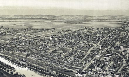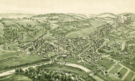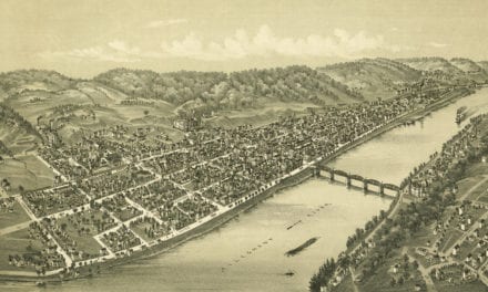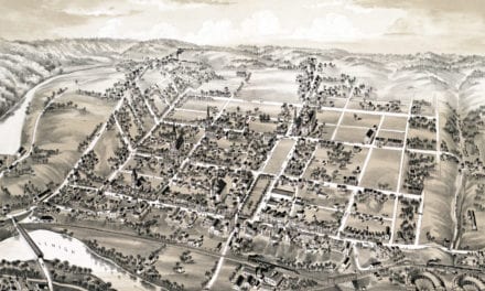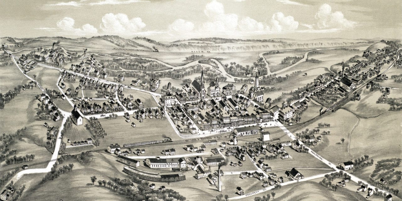
This map of East Stroudsburg, Pennsylvania was created in 1884 by O.H. Bailey, a prominent 19th century cartographer. The map shows a detailed bird’s eye view of the town as it used to be, including street names and old landmarks.
Landmarks on the map include the Lackawanna Hotel, Highland Home Cottage, Kistler’s Residence Store, Elkhorn Tannery, Crystal Spring Brewery, Stroudsburg Creamery, East Stroudsburg Glass Company, Methodist Episcopal Church, Loder’s General Store, Livery Stable, and more.
This historic map of East Stroudsburg, PA has been restored by KNOWOL. Reproductions of the map are available here.
Bird’s Eye View of East Stroudsburg, PA in 1884
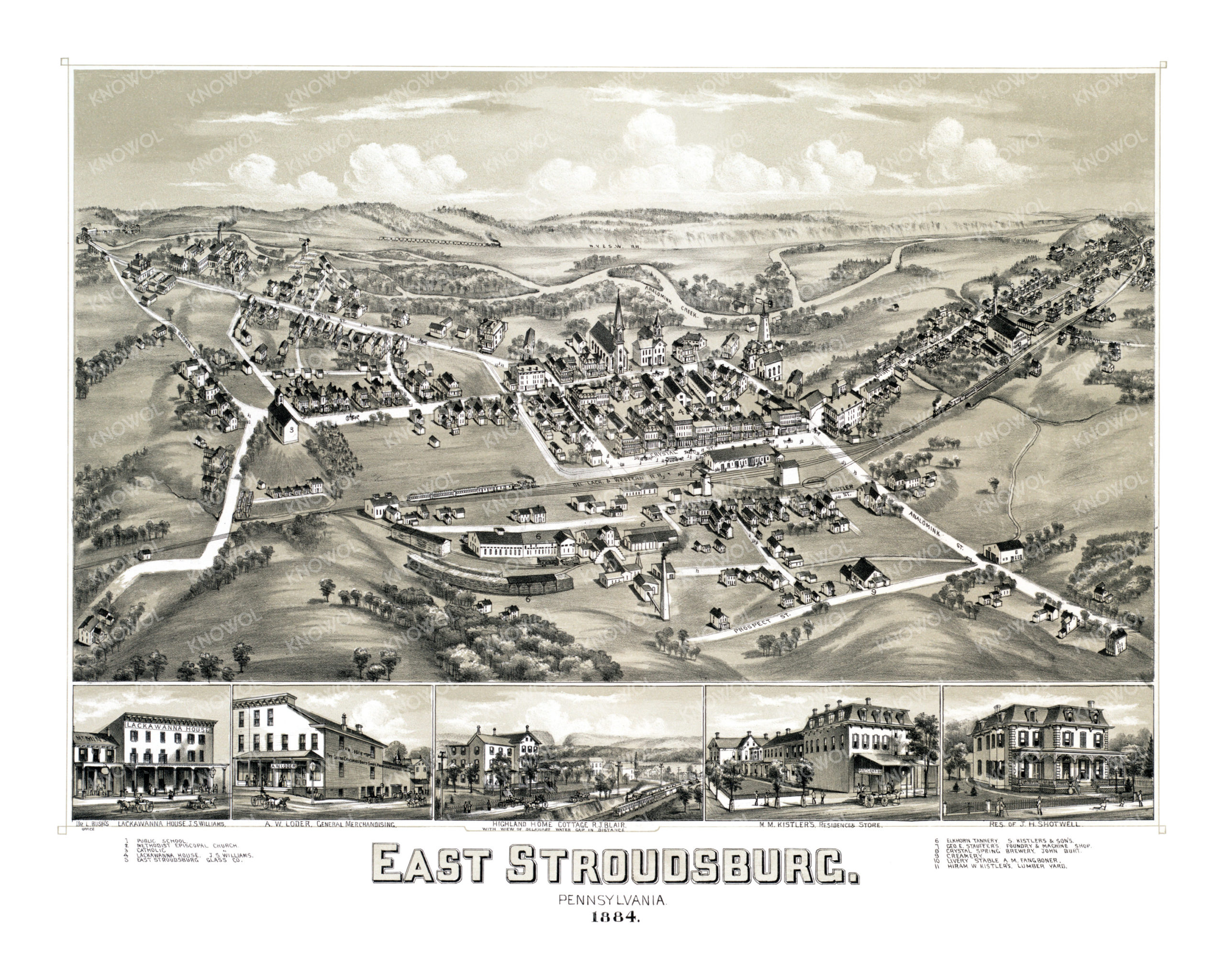
This historic map of East Stroudsburg will make an attractive addition to your office, library, or den and can even be used to teach children the geography and history of the area. When you’re done exploring, click here to get your copy.