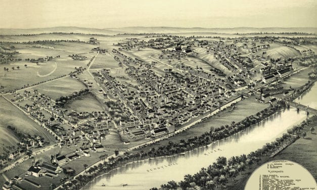
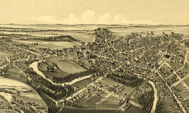
Beautifully restored map of Patterson (Mifflin), PA from 1895
Historic bird’s eye view of Patterson, Pennsylvania in 1895

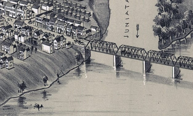
Historic bird’s eye view of Patterson, Pennsylvania in 1895
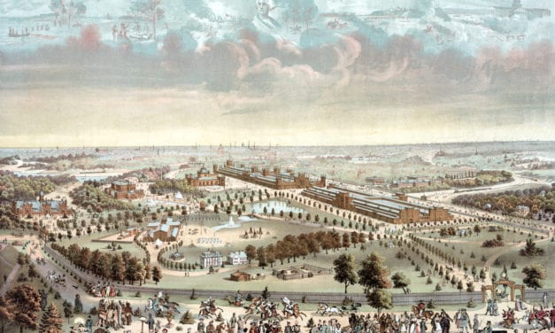
Detailed bird’s eye view of Philadelphia’s Centennial Exposition of 1876
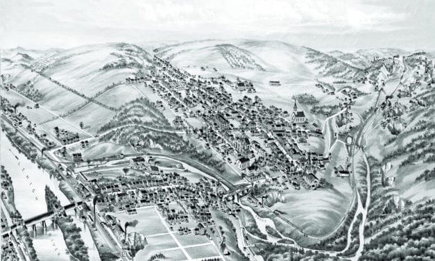
Vintage bird’s eye view of Slatington in the late 19th century.
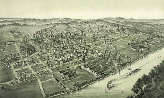
Historic bird’s eye view of Charleroi, Pennsylvania in the late 19th century.
Bird’s eye view of Spring City, PA in 1893
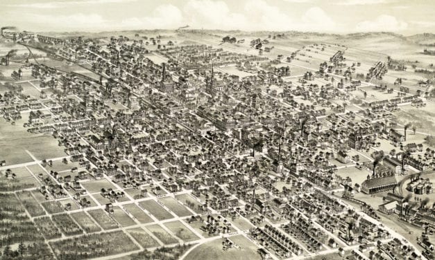
Historic bird’s eye view of Hazleton, Pennsylvania from 1886
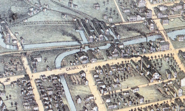
Historic bird’s eye view of Wilkes-Barre, PA in 1872
Historic bird’s eye view of Nazareth, Pennsylvania from 1885
Bird’s eye view of Grove City, PA in 1901
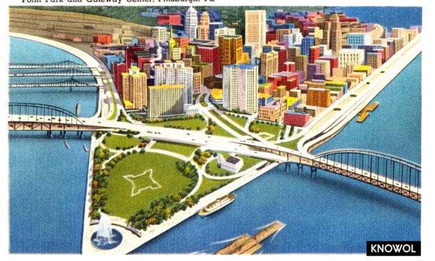
The Gateway Center in Pittsburgh, Pennsylvania is a high-rise building complex planned during...


