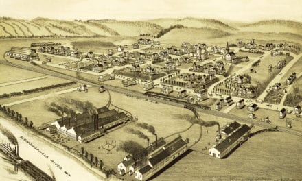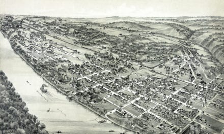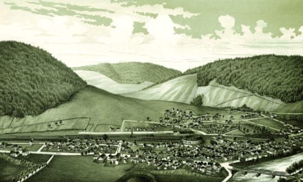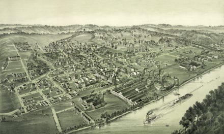
This historic map of Nazareth, Pennsylvania was created in 1885 by T.M. Fowler & O.H. Bailey, a prominent team of 19th century map makers. The map shows a bird’s eye view of the area as it used to be, including street names and old landmarks.
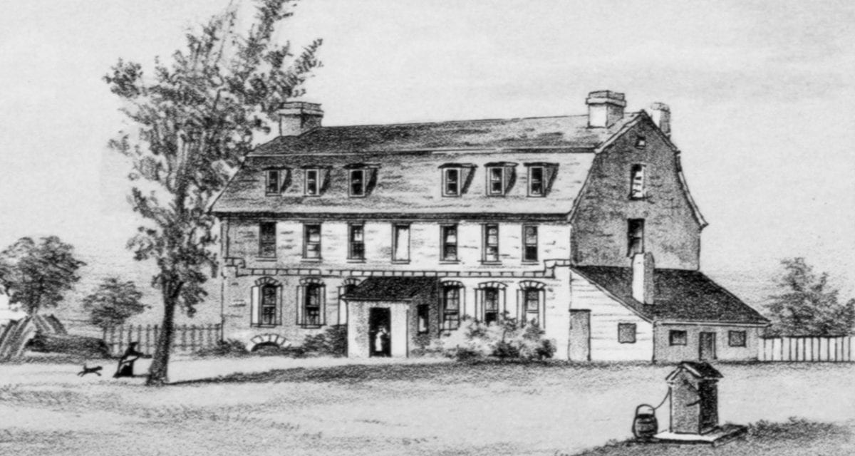
Landmarks on the map include Nazareth Hall, Whitefield House, Northampton County Fair Grounds, Nazareth Hotel, Reuben Hahn’s Wagon & Blacksmith SHop, Haas Marble Works, Miksch Coal Yard, Bangor & Portland Railroad, and more.
This historic map of Nazareth has been restored by KNOWOL. Reproductions of the restored map are available here.
Historic Old Map of Nazareth, Pennsylvania from 1885
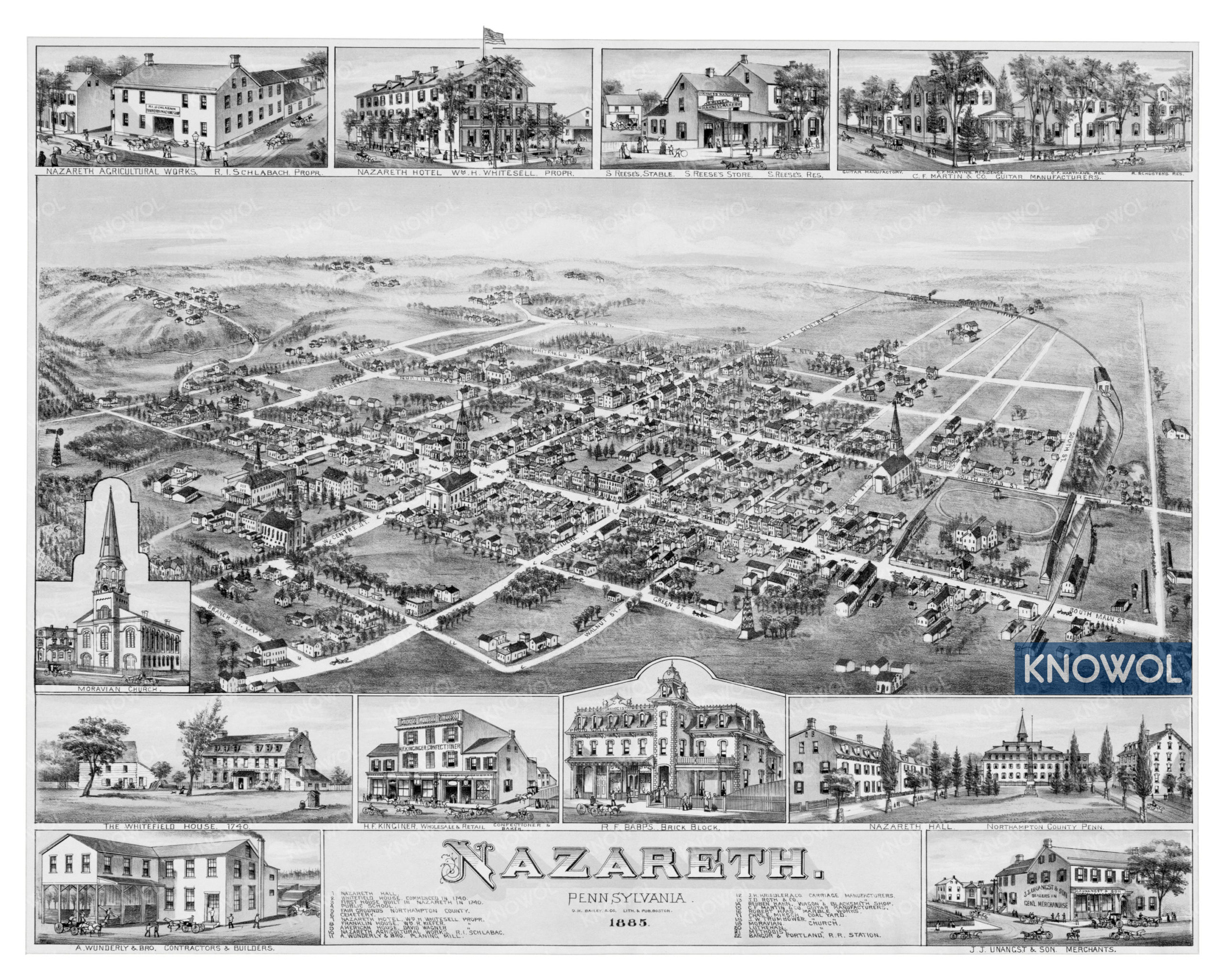
This vintage map of Nazareth makes an attractive addition to your office, library, or den, and can even be used to teach children the geography and history of the area. When you’re done exploring, click here to get your copy of the restored map.