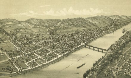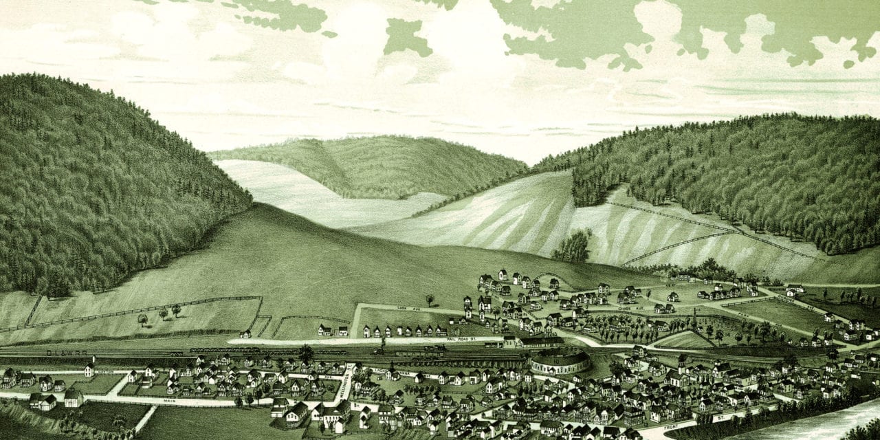
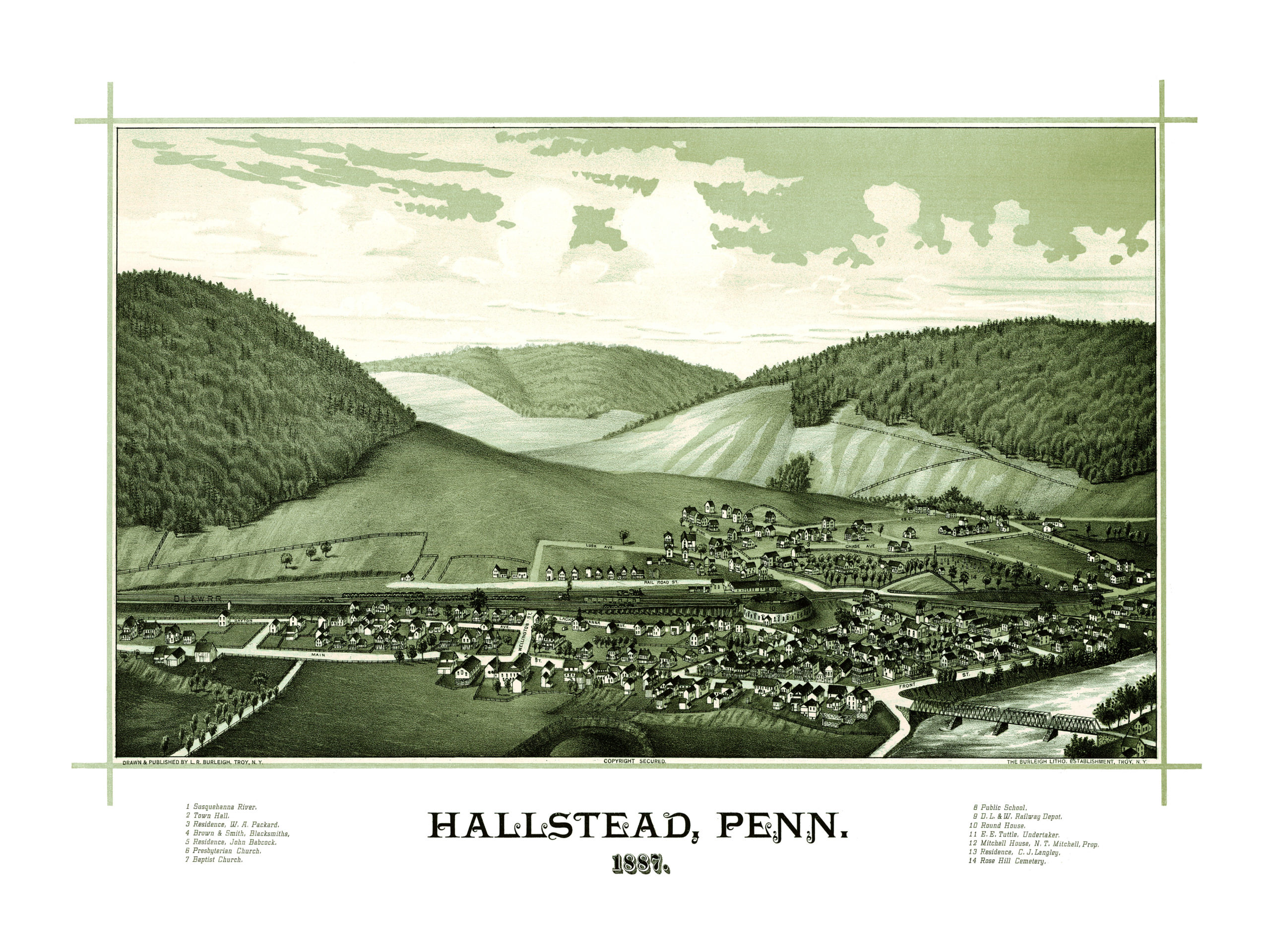
This map of Hallstead, Pennsylvania was created in 1887 by Lucien R. Burleigh. Burleigh was a prolific artist who spent much of his career traveling across America creating these beautiful bird’s eye views of towns and cities so that future generations would know what their home used to look like.
This map of Hallstead, PA was hand drawn by Burleigh, who captured this beautiful bird’s eye view of the town at a time when less than 500 people lived there. This old map of Hallstead features landmarks such as the Susquehanna River, Rose Hill Cemetery, and the D.L. & W Railway Depot.
This vintage map of Hallstead, PA has been restored by KNOWOL. Reproductions of the map are available here.
Click here to see Hallstead, Pennsylvania in 1887.
This old map of Hallstead will make an attractive addition to your office, library, or den, and can even be used to teach children the geography and history of the area. When you’re done exploring, click here to get your copy!