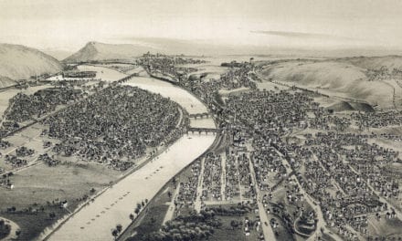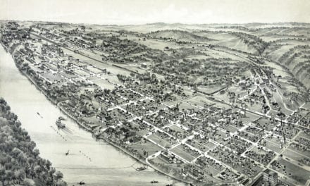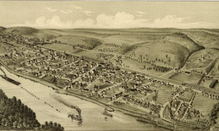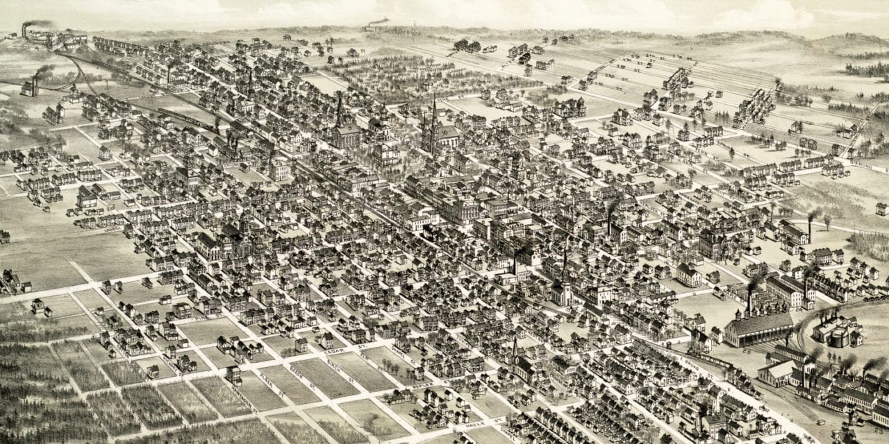
This map of Hazleton, Pennsylvania was first published in 1884 by O.H. Bailey, a prominent 19th century map maker. The map has been restored by KNOWOL. Reproductions of the restored map are available through our store and a high resolution version can be viewed below for free.
The map shows a bird’s eye view of Hazleton, PA in 1884. At the time Hazleton was a mecca for immigrants seeking work in the coal industry. The first wave (in the 1840s and 1850s) consisted mostly of German and Irish immigrants. The second wave (1860s – 1920s) consisted of Italian, Polish, Russian, Lithuanian, Slovak, and Montenegrin immigrants.
Bird’s Eye View of Hazleton, Pennsylvania in 1884
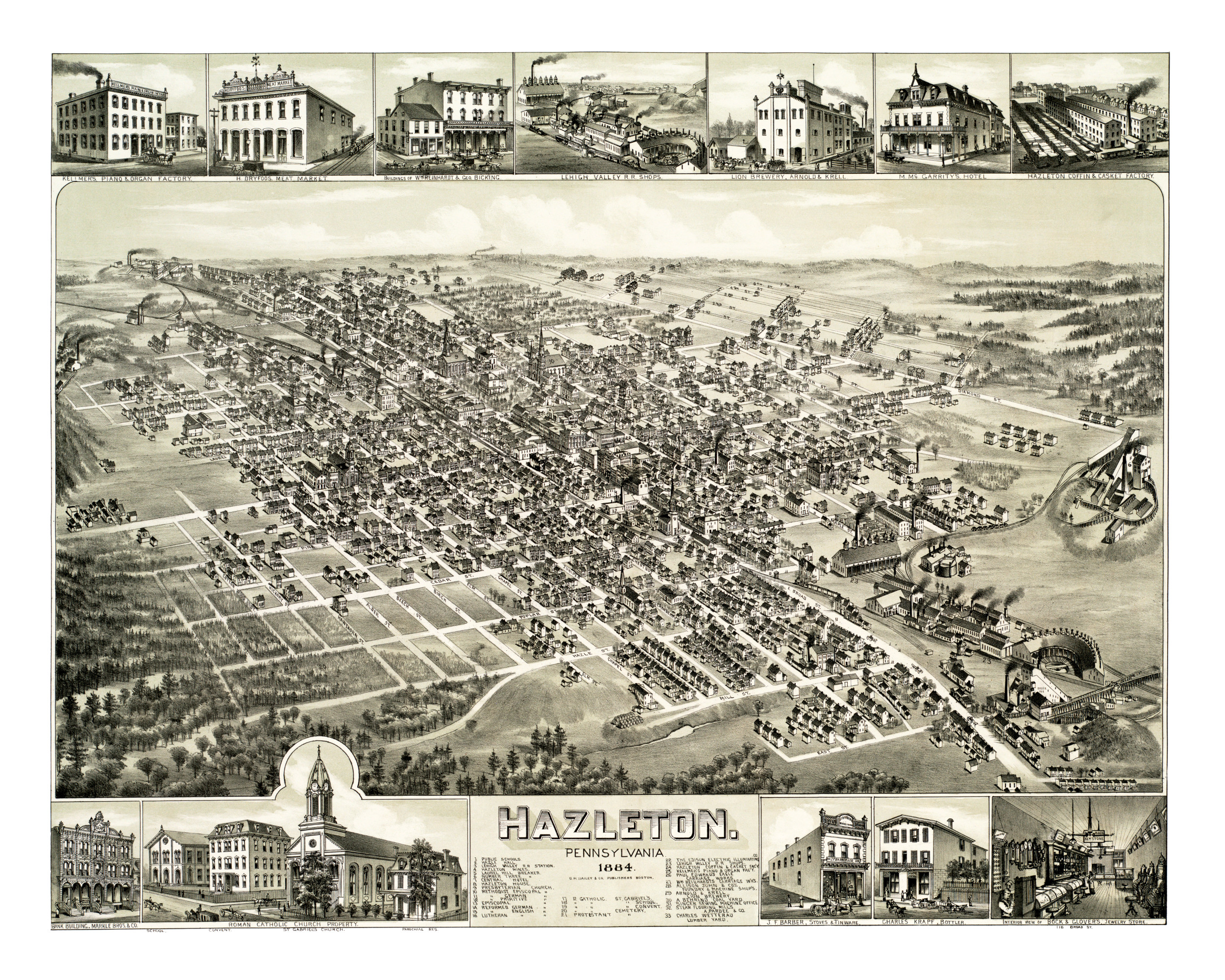
Old Hazleton landmarks on the map include Hazle Hall, Lehigh Valley Railroad Station, Hazleton Mines, Hazleton House, Central Hotel, Edison Electric Illuminating Company, Lion Brewery, and more.
Reproductions of this vintage map of Hazleton are available on museum quality, archival paper to ensure that this piece of Hazleton history lasts for the next generation. Click here to get a copy of the restored map!