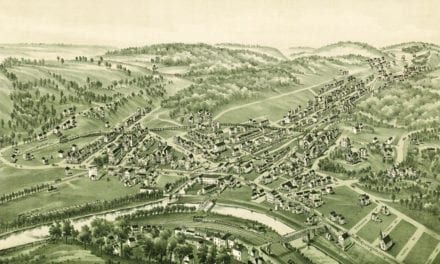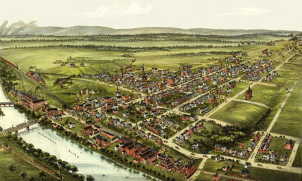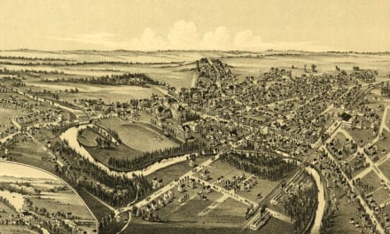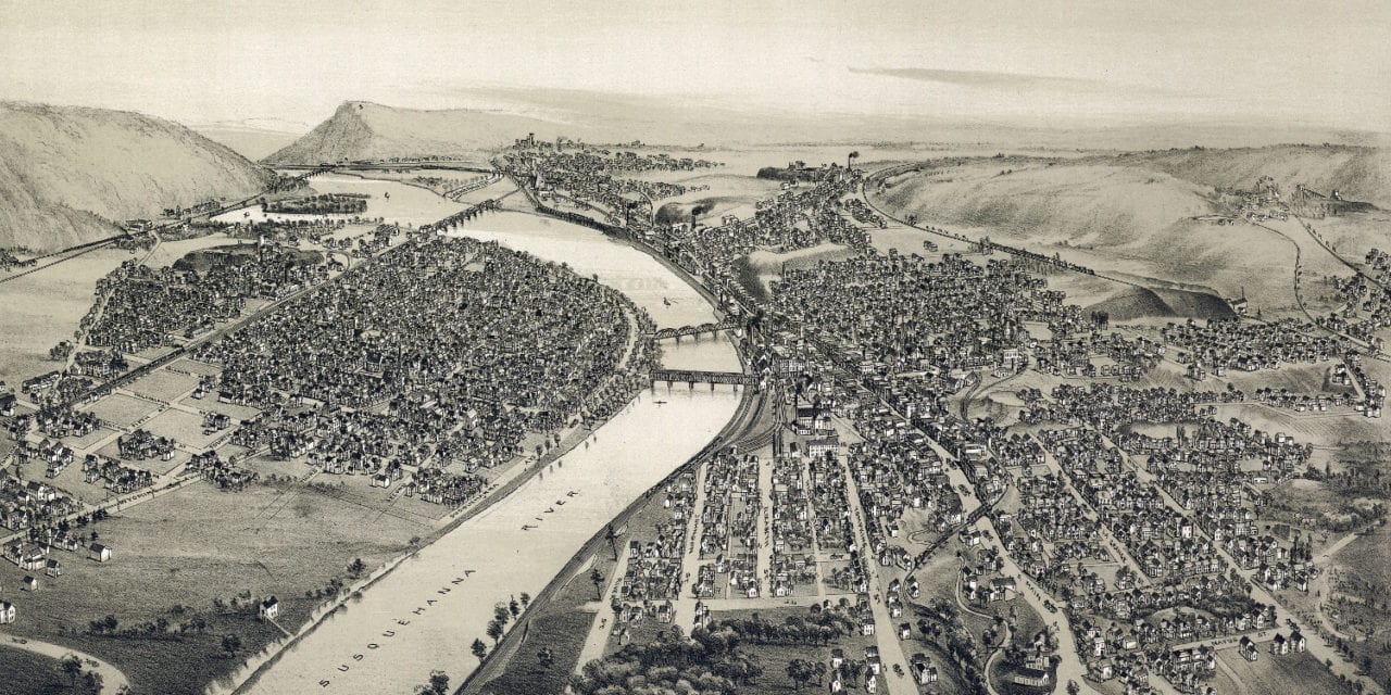
This historic map of Pittston, Pennsylvania was created in 1892 by T.M. Fowler, a prominent 19th century map maker. The map shows a bird’s eye view of the town as it used to be, including street names and old landmarks.
Landmarks on the map include Campbell’s Ledge, Pittston Junction, Phoenix Coal Breaker, Pittston Stove Company, Alpine Knitting Company, Clear Spring Coal Breaker, Wyoming Valley Paper Mills, Forest Castle Brewery, Susquehanna River, Barnum Coal, and more.
This historic map of Pittston was restored by KNOWOL. Reproductions of the restored map are available here.
Bird’s Eye View of Pittston, Pennsylvania in 1892
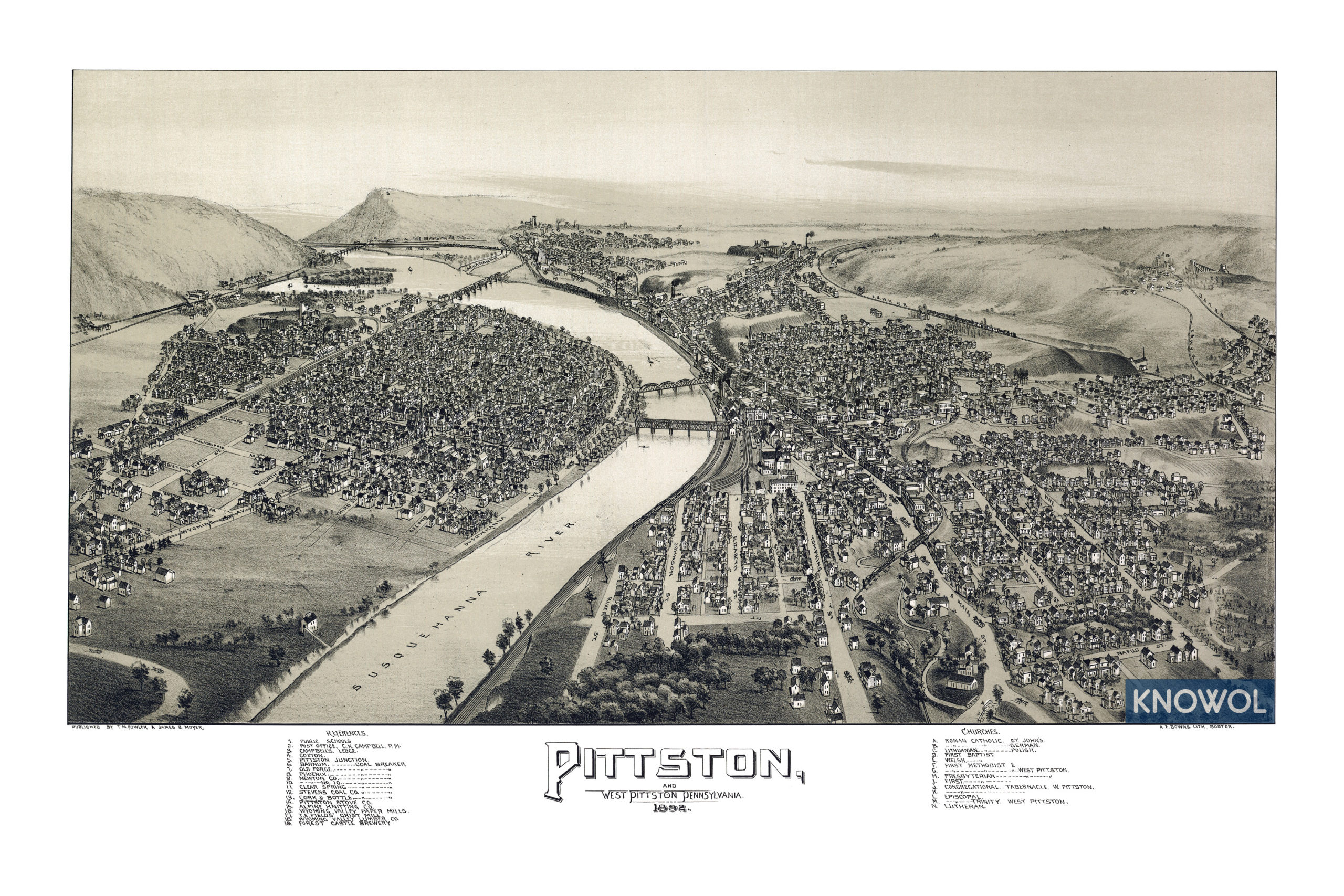
This old map of Pittston will make an attractive addition to your office, library, or den and can even be used to teach children the geography and history of the area. When you’re done exploring, click here to get your copy.