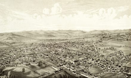
This map of Groton, Massachusetts was first published in 1886 by Lucien R. Burleigh, a prominent 19th century map maker. The map has been lovingly restored by the team at KNOWOL. Reproductions are available through our store, and a free high resolution version can be viewed below.
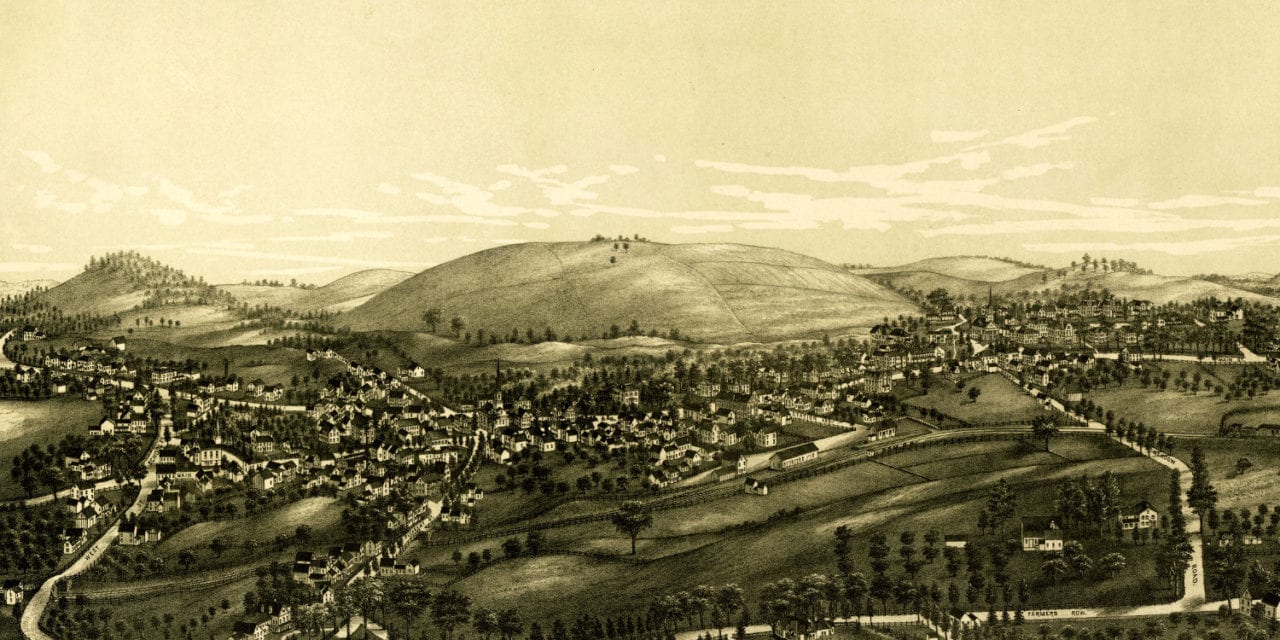
The map shows a bird’s eye view of Groton, MA in 1886. The historic town was an important battlefield in early America, playing a role in King Philip’s War and Queen Anne’s War.
Bird’s Eye View of Groton, Massachusetts in 1886
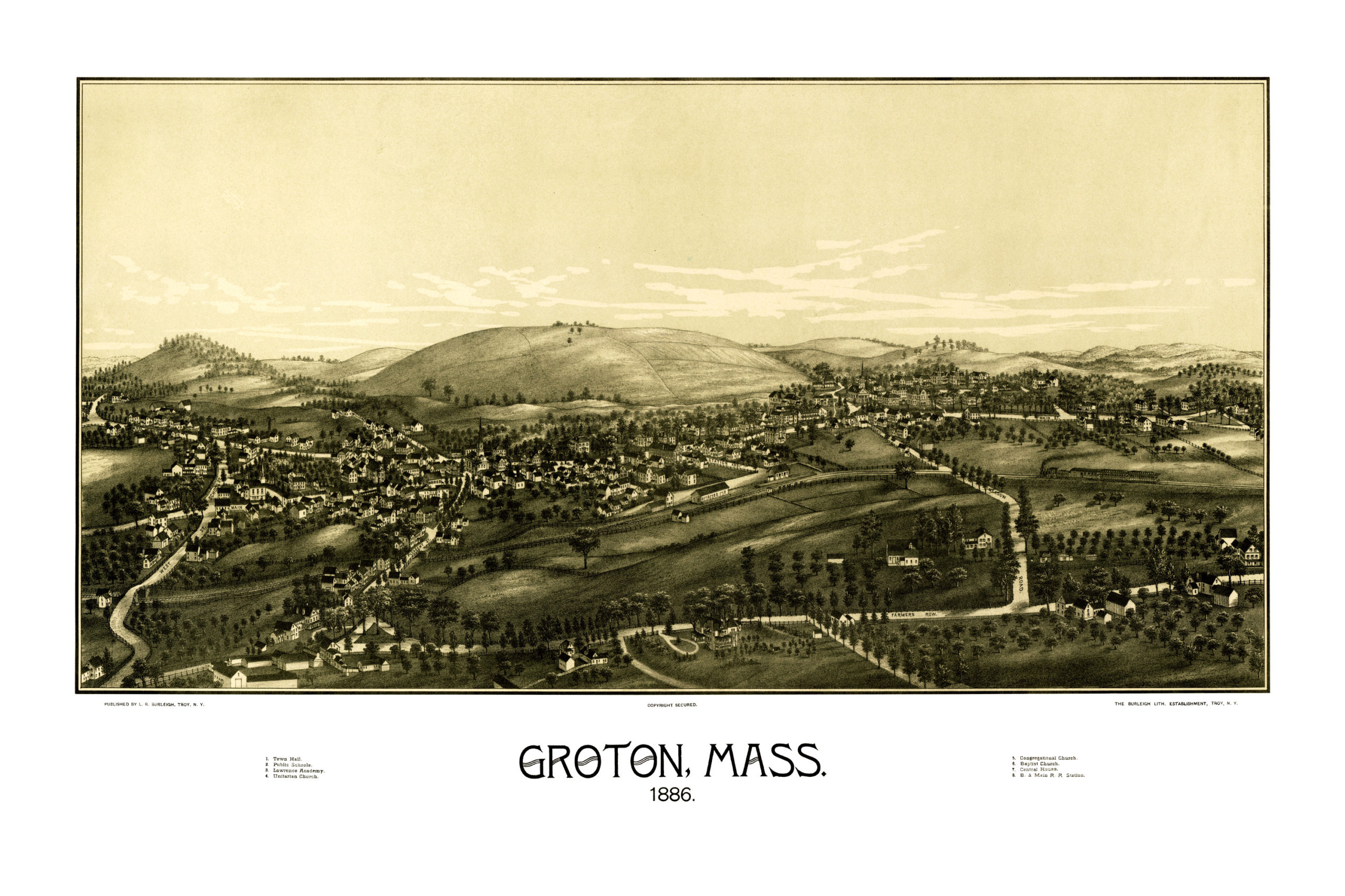
Historic Groton landmarks on the map include Lawrence Academy, Groton Town Hall, Public School, Central House, Boston & Maine Railroad and Unitarian, Congregational & Baptist Churches.
Reproductions of this historic map of Groton are available on museum quality, archival paper to ensure this piece of local history can be passed to the next generation. Click here to get a copy of the restored map from our store!