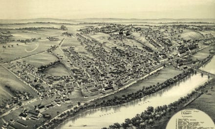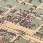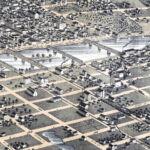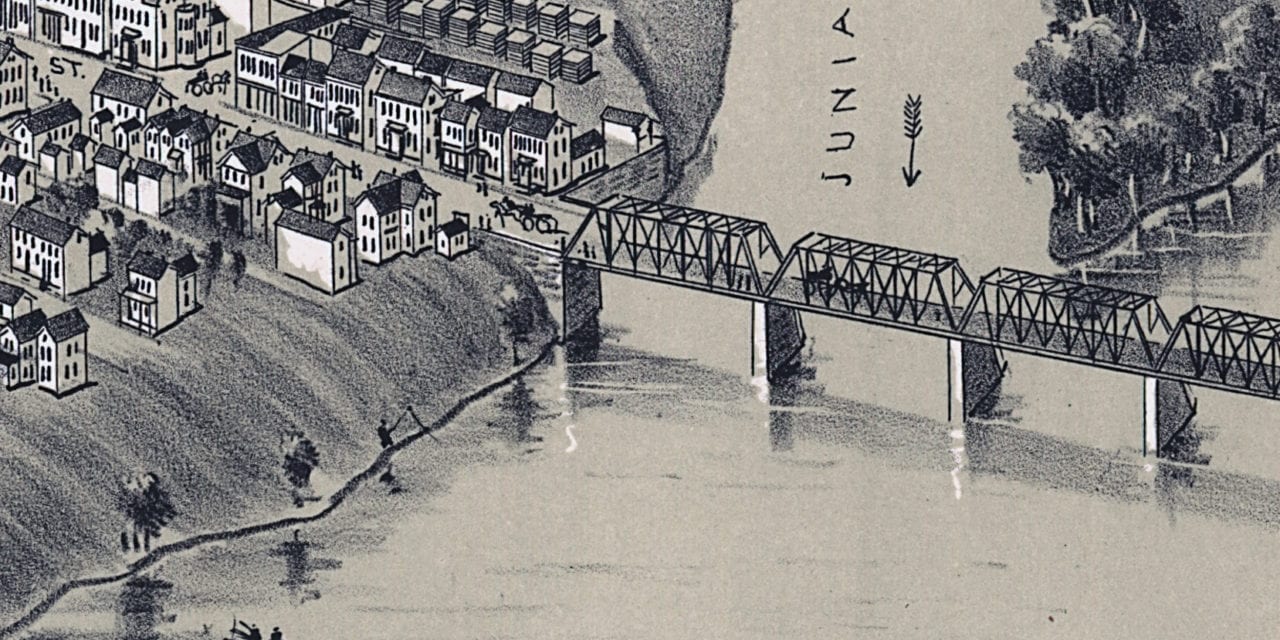
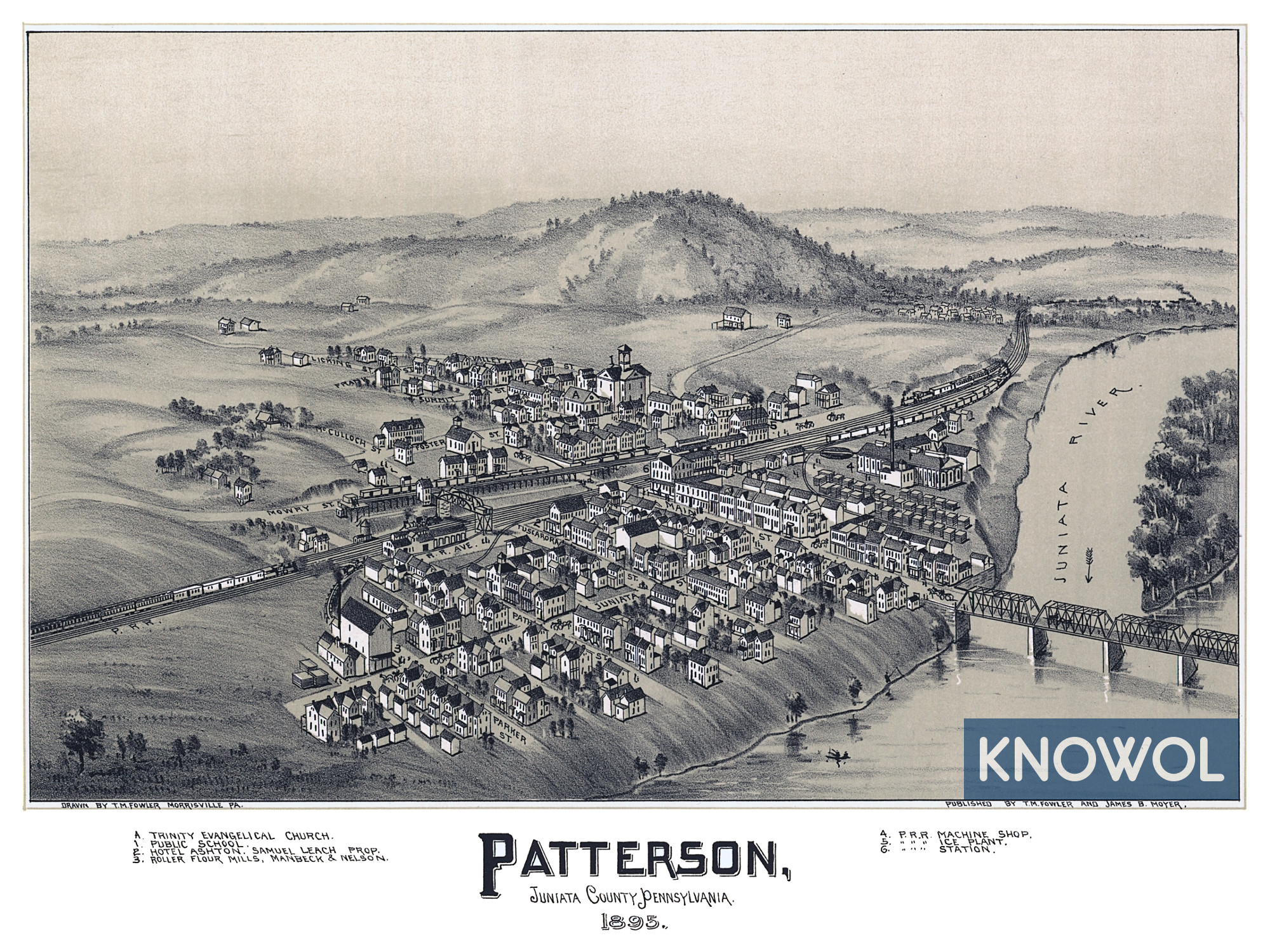
This historic map of Patterson, Pennsylvania was created in 1895 by Thaddeus Mortimer Fowler, a prominent 19th century map maker. The map shows a bird’s eye view of the town now known as Mifflin, including street names and old landmarks. Mifflin was originally known as Patterson when the area was first founded.
Landmarks on the map include Trinity Evangelical Church, Hotel Ashton, Roller Flour Mills, Patterson Public School, Pennsylvania Railroad Machine Shop, Pennsylvania Railroad Ice Plant, Pennsylvania Railroad Station, Juniata River, and more.
This historic map of Patterson has been restored by KNOWOL. Reproductions of the restored map are available here.
Historic Old Map of Patterson, Pennsylvania from 1895
This vintage map of Patterson makes an attractive addition to your office, library, or den, and can even be used to teach children the geography and history of the area. When you’re done exploring, click here to get your copy of the restored map.