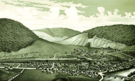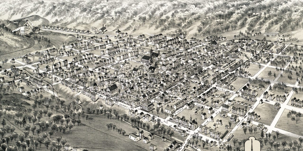
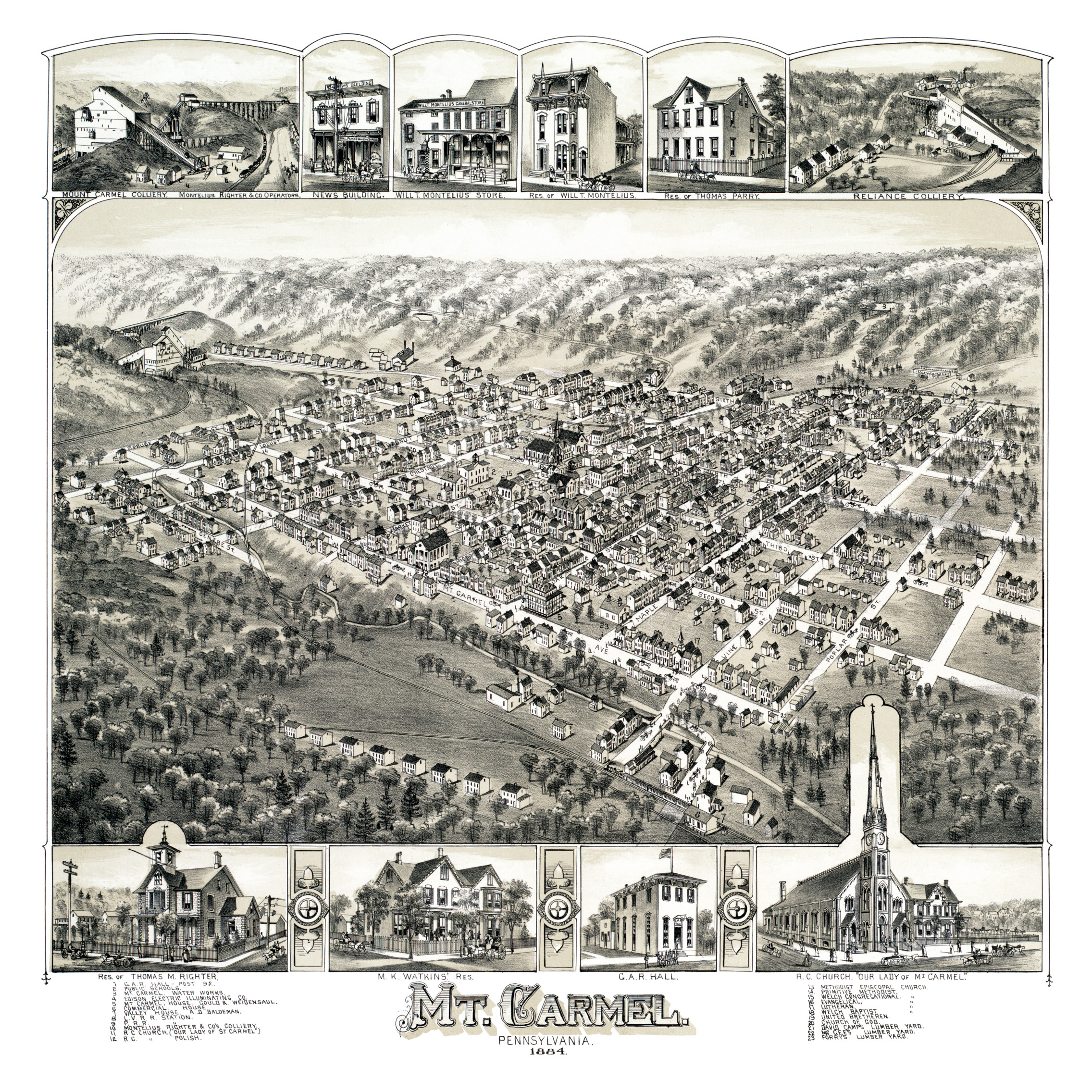
This map of Mt. Carmel, Pennsylvania was created in 1884 by O.H. Bailey, a prominent 19th century map maker. The map shows a bird’s eye view of Mt. Carmel as it was, including street names and old landmarks.
The map shown here has been restored by KNOWOL. Reproductions of the restored map are available here.
Landmarks on the map include Edison Electric Illuminating Company, Valley House, Lehigh Valley Railroad Station, Pennsylvania Railroad Station, Forry’s Lumber Yard and Grand Army of the Republic Hall, an American Civil War veteran’s organization.
Click here to see Mount Carmel, PA in 1884
This historic map of Mt. Carmel will make an attractive addition to your office, library, or den and can even be used to teach children the geography and history of the area. When you’re done exploring, click here to get your copy.