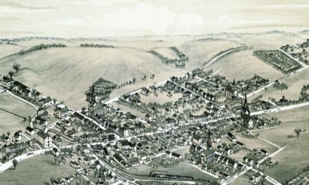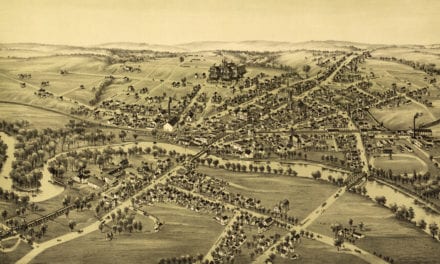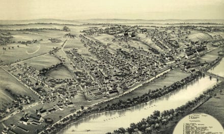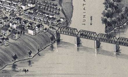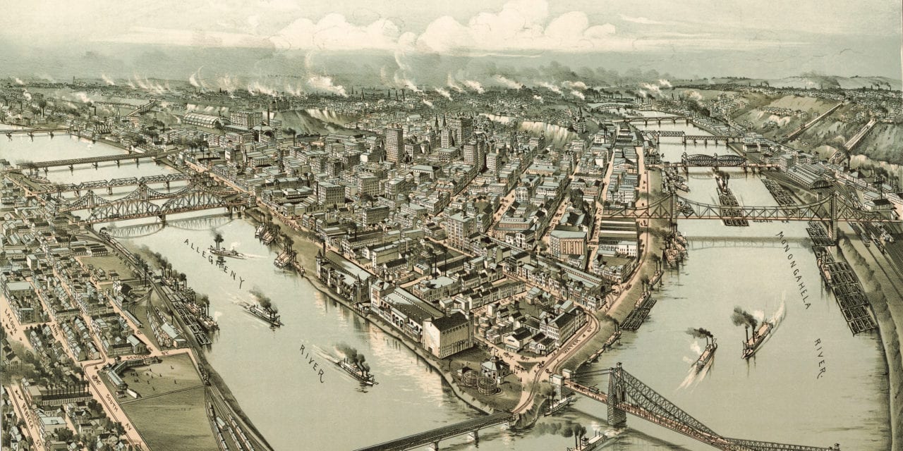
This historic old map of Pittsburgh, Pennsylvania was created in 1902 by Thaddeus Mortimer Fowler, a prominent 19th century cartographer. The map shows a detailed bird’s eye view of Pittsburgh as it used to be, including street names and old landmarks.
Pittsburgh landmarks on the map include the Frick Building, Carnegie Building, Park Building, Exposition Buildings, Monongahela River, Allegheny River, Ohio River, Fort Pitt Blockhouse, and four railroad stations.
This historic map of Pittsburgh, PA has been restored by KNOWOL. Reproductions of the map are available here.
Bird’s eye view of Pittsburgh, Pennsylvania in 1902
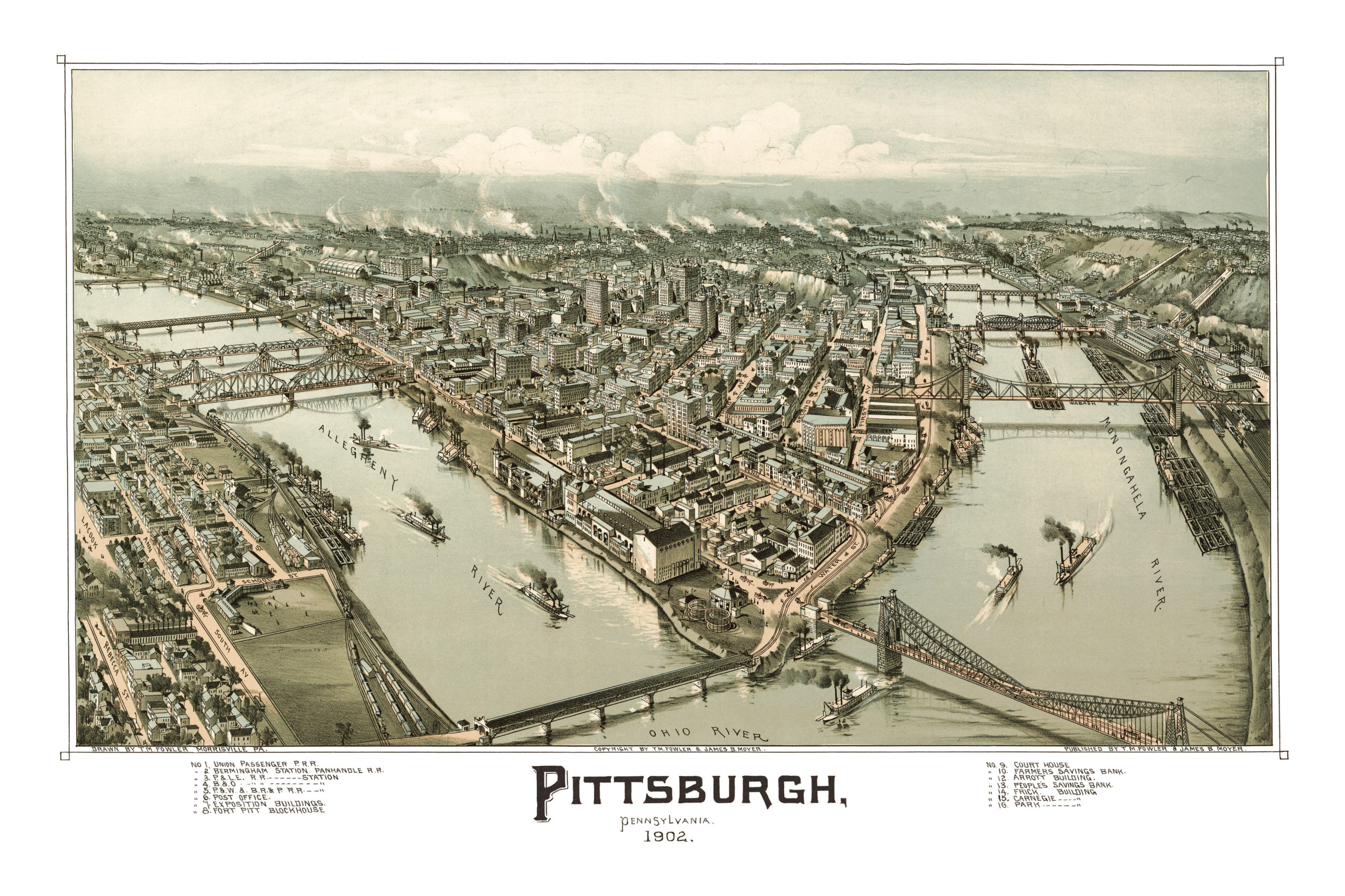
This historic map of Pittsburgh will make an attractive addition to your office, library, or den and can even be used to teach children the geography and history of the area. When you’re done exploring, click here to get yours.