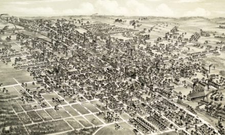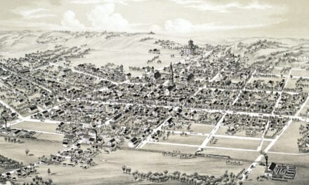
This old map of Bath, Pennsylvania was created in 1885 by O.H. Bailey & Company. Oakley Hoopes Bailey (1843-1947) was one of the most prominent and prolific American map makers of the 19th century.
Bath was established in 1728 as a Scotch-Irish settlement before the American Revolution as the first settlement by white people in the Forks of the Delaware. It was named after Bath, the largest city in Somerset, England.
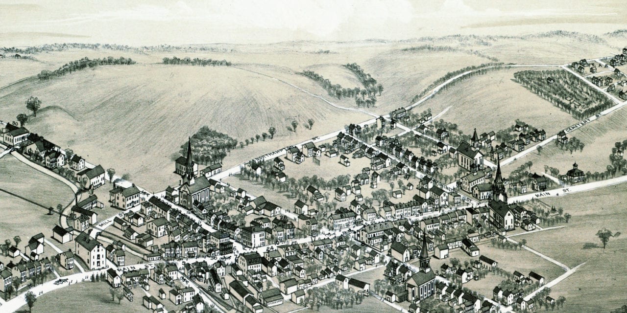
This vintage map of Bath shows locations such as the Slate Exchange Hotel, Fatzinger Cingar Manufacturer, Chas Beer Stoves & Tinware, S.B. Strunk Jewelry Store, C.W. Straub’s General Store, a barber shop, coal yard and more.
Click here to see the map of Bath, Pennsylvania in 1885.
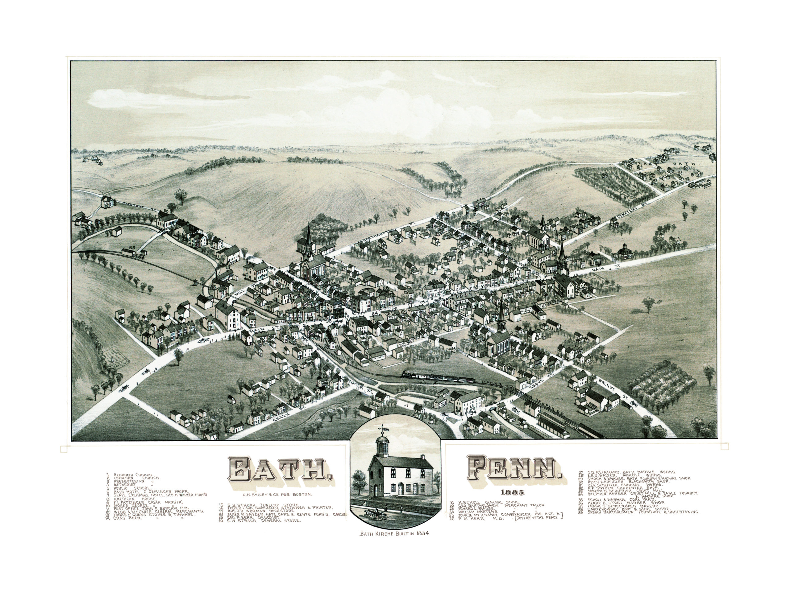
This map of Bath, PA has been lovingly restored by the team at KNOWOL. Reproductions of the restored map are available on museum quality, archival paper to ensure that this piece of Pennsylvania history can be passed on to the next generation. Click here to get a copy of the map.