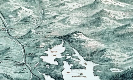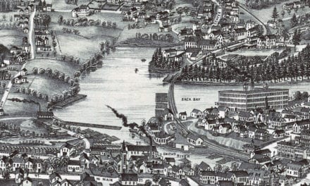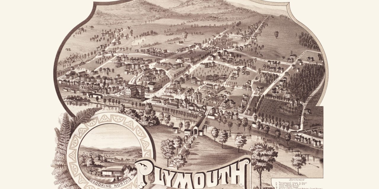
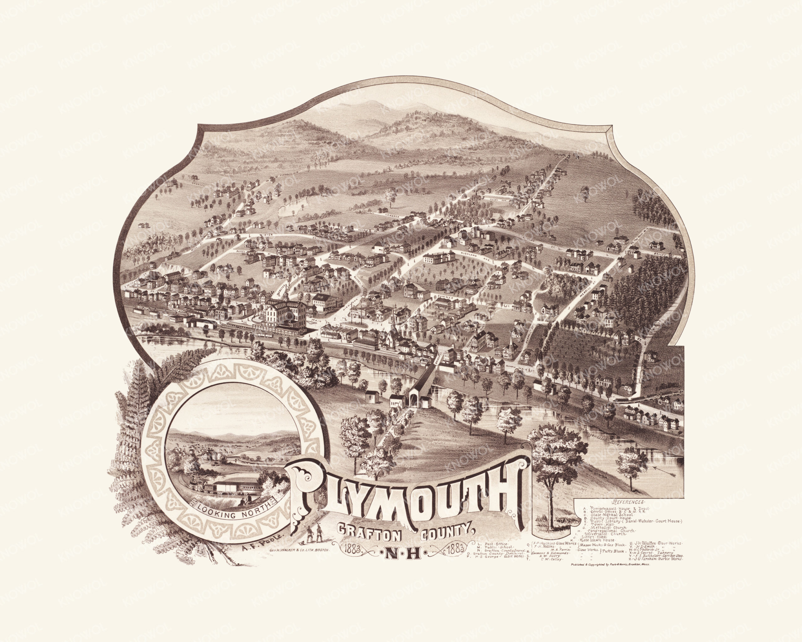
This map of Plymouth, New Hampshire was created in 1883 by George H. Walker, a prominent 19th century artist and cartographer. The map shows a detailed bird’s eye view of Plymouth, including street names and old landmarks. The map is surrounded by an ornate border featuring a view of Plymouth looking North.
Landmarks on the map include Pemigewassett House & Depot, State Normal School, Whitten Glove Works, Little’s Hotel, Rose Lawn House, George’s Tannery, Grafton County Journal, Batchelder Carriage Shop, Farnham Marble Works, and more.
This historic map of Plymouth, NH has been restored by KNOWOL. Reproductions of the map are available here.
Bird’s Eye View of Plymouth, NH in 1883
This historic map of Plymouth, NH will make an attractive addition to your office, library, or den and can even be used to teach children the geography and history of the area. When you’re done exploring, click here to get your copy.