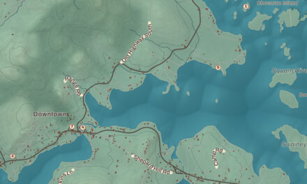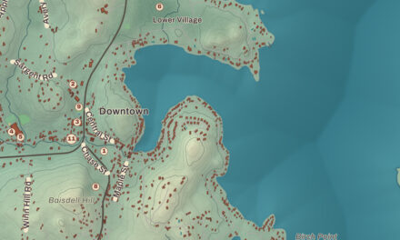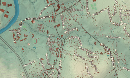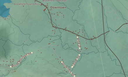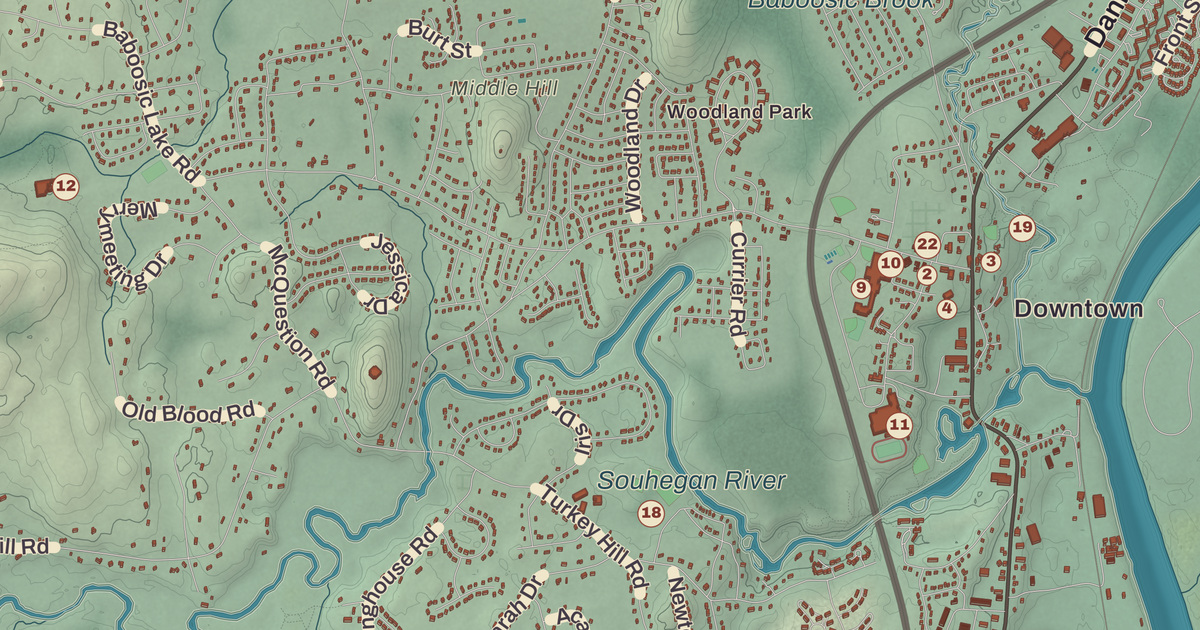
Merrimack grew from four villages, Merrimack Village, Thorntons Ferry, Reeds Ferry and South Merrimack, and their edges have blurred as houses filled in the land between them. Three of those old village names are printed on this map, along with East Merrimack, the Signer’s House and Matthew Thornton Cemetery, the Merrimack Public Library and the Thomas More College of Liberal Arts.
Merrimack is in Hillsborough County, between Manchester and Nashua.
KNOWOL made this map in 2026 from public survey data and gave it the look of an old atlas. The shaded terrain around South Merrimack and Reeds Ferry comes from United States Geological Survey elevation data; the highest ground in town is an unnamed hill in the northwest, at 512 feet. The roads and the town line come from the Census Bureau, right down to Merrill Road. The Signer’s House and Matthew Thornton Cemetery and the McClure-Hilton House are on the National Register of Historic Places, and we checked them against National Park Service records. Merrimack had 26,632 people at the 2020 census.
See it on a wall
The Merrimack map as a framed print. Swipe for more.


A river named for a fish
The town takes its name from the river, and the river’s name is a Native American word for the sturgeon. The town page says the Pennacook people named the Merrimack for the great numbers of the fish that once lived in it, and spelled the name Monnomoke or Merramake. When the town was incorporated, the Merrimack Historical Society says, it spelled the name Merrymac. The first written record of this ground is a petition from Passaconaway, the Pennacook sachem, to the General Court of Massachusetts. In the autumn of 1662 the court granted him and his people a strip a mile and a half wide on both banks of the river here, and the town page thinks it probable that the grant took in at least part of today’s Merrimack.
The land was part of the 1673 Dunstable grant, and in 1734 Massachusetts organized it as Naticook, together with what’s now Litchfield. After the line between the two provinces moved, Governor Benning Wentworth signed a charter on April 2, 1746, making the land from Pennichuck Brook to the Souhegan River the Town of Merrymac. Fewer than 50 families lived here then. In 1750 the town gained another 3 miles to the north, the land above the Souhegan called Souhegan East.
A signer by the river
Matthew Thornton, who signed the Declaration of Independence for New Hampshire, came to Merrimack in 1780. He had been a doctor in Londonderry, president of the provincial congress and speaker of the state house, and he reached Philadelphia in November 1776, late enough that he was allowed to sign months after the formal signing in July. In Merrimack he farmed and ran a ferry on the river with his family, and he went on to represent the town and Bedford in the state House and Hillsborough County in the state Senate. He died in 1803 and was buried here. The village of Thorntons Ferry carries his name, and so do Thorntons Ferry School and the town of Thornton. A state historical marker, number 79, tells his story along U.S. Route 3.
The Signer’s House is a two-story Georgian double house, the only house of its period left in Merrimack, according to its National Register page. Thornton owned it from 1780 to 1797 and then sold it to his son James, though the same page notes that archival papers point to his son Matthew Jr. as its builder. Across the Daniel Webster Highway is the cemetery where the signer lies. It was Merrimack’s first cemetery, and its oldest gravestone is dated 1742. The house was listed on the National Register in 1978.
The McClure-Hilton House, on Tinker Road in the south of town, is older still. Family lore dates it to 1722, but town history puts all settlement after a land division in 1733, and William McClure made his first land purchase in 1741; its page says the style points to about 1740. McClure’s descendants owned it until 1942. The hall keeps old stencil work believed to be by Moses Eaton Sr. or Moses Eaton Jr., regional artists of the late 18th and 19th centuries, and an old barn stands across the road. It was listed on the National Register in 1989.
Ferries, a railroad and a growing town
Reeds Ferry, the northern part of town, takes its name from William Reed’s ferry landing on the Merrimack at the foot of what’s now Depot Street. The landing is a boat ramp today, on the site of the old Reeds Ferry train station, which was in use from 1842 to 1967. The Boston and Maine laid its tracks through town in the 19th century, and several stations ran until the middle of the 20th, when the automobile turned Merrimack from a largely farming town into a bedroom community for Boston and the nearby New Hampshire cities.
Since 1970 Merrimack has been home to an Anheuser-Busch brewery, with tours and a stable for the Budweiser Clydesdales. PC Connection and Brookstone are based in town. The Thomas More College of Liberal Arts, a Catholic college founded in 1978, offers a single liberal arts degree built on reading the great works of Western literature, philosophy and political science instead of textbooks, with a semester in Rome for every student. In almost every year before a presidential election, the town page says, the candidates march or send a float in Merrimack’s Fourth of July parade.
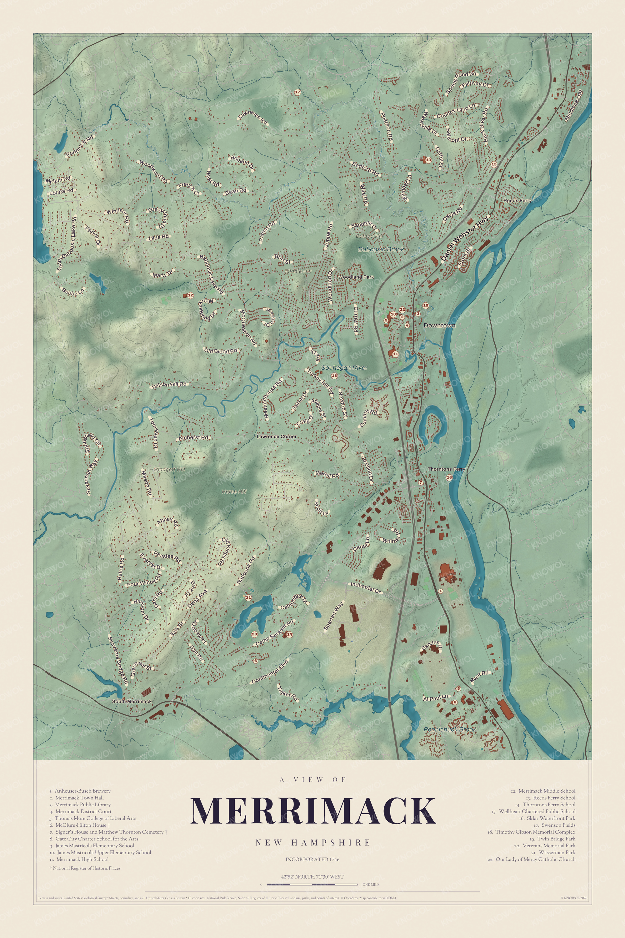
Click to explore a larger preview. The digital watermark does not appear on printed maps.
Names on this map
These names are printed on this map.
Places: Downtown, South Merrimack, Reeds Ferry, Thorntons Ferry, Woodland Park, Blodgett Hill, Bumbo Hill, Horse Hill, Middle Hill, Baboosic Brook, Souhegan River, Pennichuck Brook, Lawrence Corner, Anheuser-Busch Brewery, Merrimack Town Hall, Merrimack Public Library, Merrimack District Court, Thomas More College of Liberal Arts, McClure-Hilton House, Signer's House and Matthew Thornton Cemetery, Gate City Charter School for the Arts, James Mastricola Elementary School, James Mastricola Upper Elementary School, Merrimack High School, Merrimack Middle School, Reeds Ferry School, Thorntons Ferry School, Wellheart Chartered Public School, Sklar Waterfront Park, Swenson Fields, Timothy Gibson Memorial Complex, Twin Bridge Park, Veterans Memorial Park, Wasserman Park and Our Lady of Mercy Catholic Church.
Streets and roads: Daniel Webster Highway, Baboosic Lake Road, Continental Boulevard, Amherst Road, Naticook Road, Camp Sargent Road, Bedford Road, Turkey Hill Road, Wire Road, Wilson Hill Road, Bean Road, Joppa Road.
More street names, A to Z
Abbey Road, Acacia Street, Al Paul Lane, Back River Road, Bates Road, Beebe Lane, Belmont Drive, Bramber Lane, Brek Drive, Brieann Drive, Burt Street, Cambridge Drive, Cathy Street, Cedar Lane, Country Club Lane, Craig Drive, Currier Road, Dahl Road, Davis Road, Dena Avenue, Erik Street, Everest Drive, Fairway Drive, Four Winds Road, French Court, Front Street, Gail Road, Greatstone Drive, Greenleaf Street, Hansom Drive, Industrial Drive, Iris Drive, Jessica Drive, Jo Ellen Drive, Lamson Drive, Lawrence Road, Longa Road, Marty Drive, Mason Road, Mast Road, McQuestion Road, Meetinghouse Road, Merrill Road, Merrymeeting Drive, Middlesex Road, Miriam Road, Newton Street, Old Blood Road, Olde Road, Old Kings Road, Parker Drive, Parkhurst Road, Patten Road, Pearson Road, Peaslee Road, Sandes Drive, Sandhill Drive, Sarah Drive, Savannah Way, Scott Drive, Seaverns Bridge Road, South Baboosic Lake Road, Spartan Way, Springfield Circle, Spring Pond Road, Summit Road, Tinker Road, Tomasian Drive, Waterville Drive, West Road, Whittier Road, Windsor Road, Woodland Drive, Woodward Road.
Getting around the map
The Souhegan River cuts the town roughly in half. The town page puts the center of town, sometimes called Merrimack Village, at the public library, on the corner of Baboosic Lake Road and the Daniel Webster Highway; the land around it, once owned by James Mastricola, now holds schools, the library and the town hall. Thorntons Ferry is the part of town near Naticook Lake and Continental Boulevard, and South Merrimack centers on Pennichuck Square, where Route 101A meets Continental Boulevard. Reeds Ferry, Thorntons Ferry, South Merrimack and East Merrimack are all printed on the map. So are the Merrimack Public Library, the Merrimack Town Hall, the McClure-Hilton House and the Sklar Waterfront Park. Bedford and Manchester lie to the north and northeast, Litchfield to the east, Nashua to the south, and Hollis and Amherst to the west.
This Merrimack map makes a good addition to an office, library or den, and it can help teach children the geography and history of a river town with a signer of the Declaration in its old cemetery. It’s made for anyone who calls Merrimack home, from Reeds Ferry down to South Merrimack, and KNOWOL created it in 2026 to show the town as it looks today. Zoom in on the preview above to explore the details, then click here to get your copy of the Merrimack map.

Sources