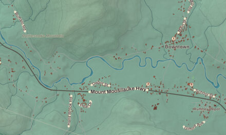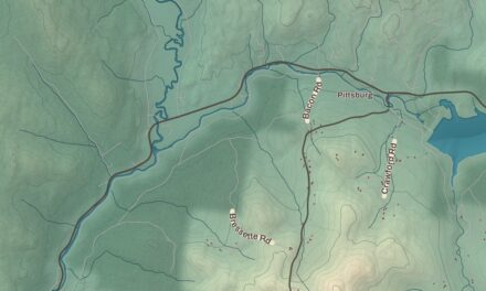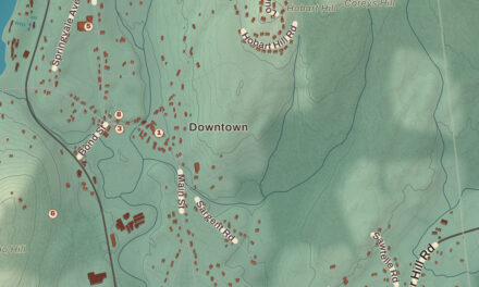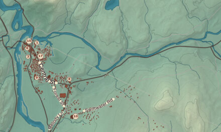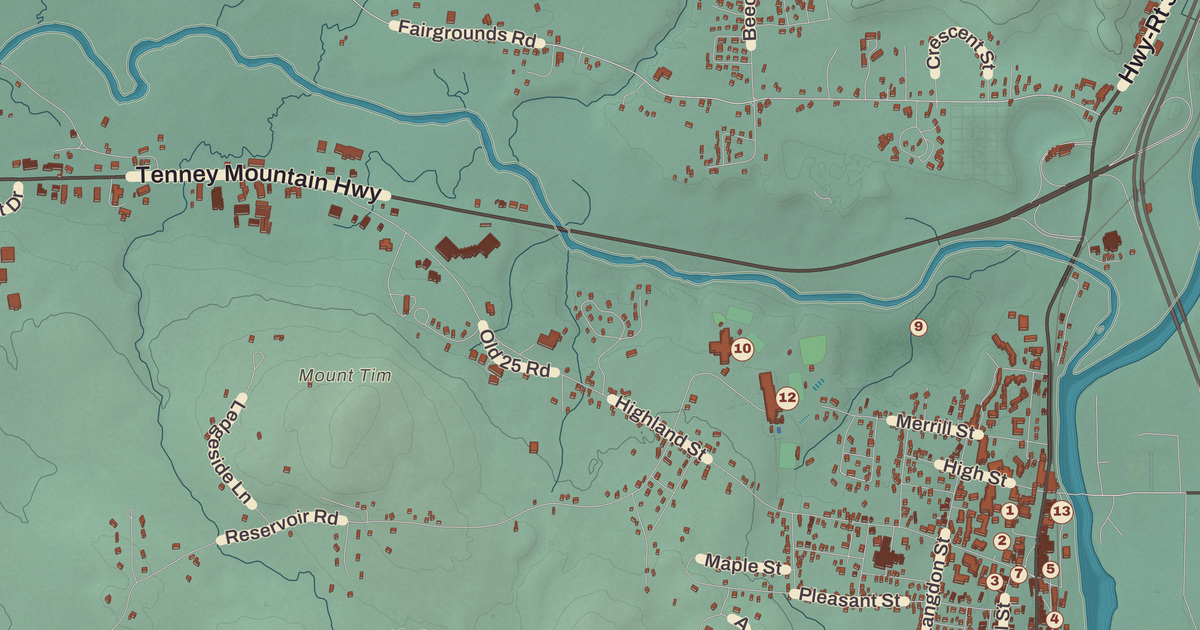
Plymouth’s oval common has the Boy Scout fountain at its heart, the shops of Main Street along one side and a row of civic buildings along Post Office Square on the other, and Plymouth State University in the center of town. This map prints the Plymouth Historic District, the Plymouth Town Hall, the Old Grafton County Courthouse, the Pease Public Library and Plymouth State University, with West Plymouth, Hoyt Hill and Pike Hill.
Plymouth is in Grafton County, where the Baker River meets the Pemigewasset.
KNOWOL made this map in 2026 from public survey data and gave it the look of an old atlas. The shaded terrain around Hoyt Hill and Pike Hill comes from United States Geological Survey elevation data; Plymouth Mountain, in the south, is the highest point in town at 2,193 feet, and the slopes of Tenney Mountain fill the west. The roads and the town line come from the Census Bureau, from the Daniel Webster Highway down to smaller roads such as Slate Lane. The historic district, the old courthouse and the Lower Intervale Grange are on the National Register of Historic Places, and we checked them against National Park Service records. Plymouth had 6,682 people at the 2020 census.
See it on a wall
The Plymouth map as a framed print. Swipe for more.


New Plymouth
The town was first named New Plymouth, after the Plymouth Colony in Massachusetts. Governor Benning Wentworth granted it to settlers from Hollis who had all been soldiers in the French and Indian War, some of them originally from Plymouth, Massachusetts, and it was incorporated in 1763. Its historic district page says real settlement didn’t come until the 1770s. Parts of Hebron and Campton were added in 1845 and 1860.
Around the common
The common was laid out not long after 1763, on terraces above the west bank of the Pemigewasset, and the town’s first meeting house stood where the Congregational church is now. The fountain, a Boy Scout kneeling with cupped hands to hold water, was designed by George Borst, a summer resident, and set in place in 1933; the town page calls it one of only two Boy Scout fountains in the United States. On the west side stands the Plymouth Town Hall, built in 1890 to a design by C. Willis Damon to serve as a county courthouse too, along with the Pemigewasset National Bank building of 1885 and the post office of 1936. Together with the common they make up the Plymouth Historic District, listed on the National Register in 1986.
Next to the town hall, at 1 Court Street, is the Old Grafton County Courthouse, built in 1774 just after Grafton County was set up, when Plymouth was named one of its shire towns. Its page calls it one of the oldest surviving civic buildings in the state. In 1806 Daniel Webster, then a lawyer, lost his first criminal case at the Plymouth courthouse. After a new courthouse went up in 1823, the old one was sold, moved to the edge of town and used as a wheelwright’s shop. Henry W. Blair bought it in 1876 to save it, moved it to where it stands now and fitted it out as a library run by the Young Ladies’ Library Association, and today it’s the museum of the Plymouth Historical Society.
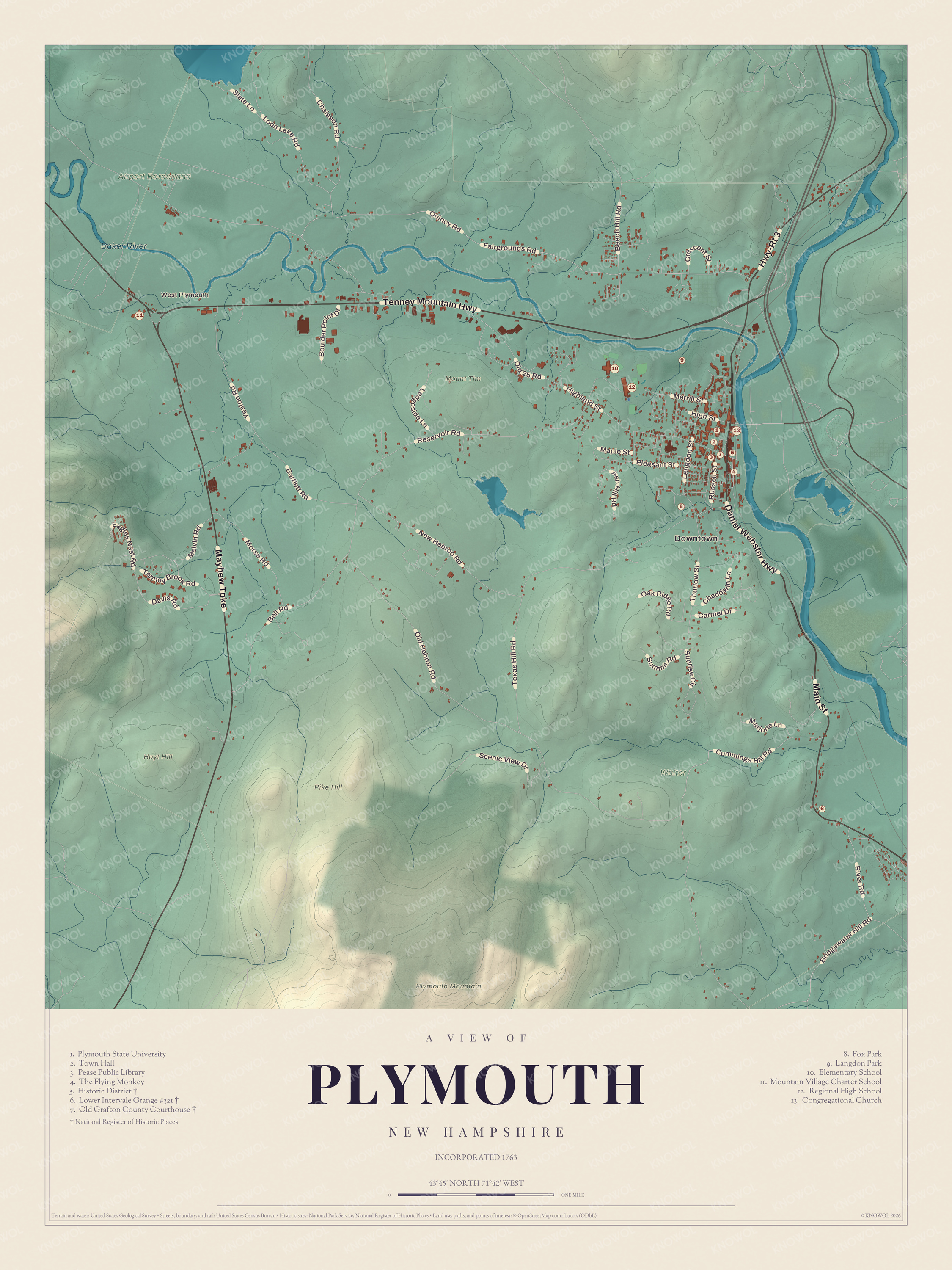
Click to explore a larger preview. The digital watermark does not appear on printed maps.
Names on this map
These names are printed on this map.
Places: Downtown, West Plymouth, Hoyt Hill, Mount Tim, Pike Hill, Plymouth Mountain, Baker River, Walter, Airport Borderland, Plymouth State University, Town Hall, Pease Public Library, The Flying Monkey, Historic District, Lower Intervale Grange #321, Old Grafton County Courthouse, Fox Park, Langdon Park, Elementary School, Mountain Village Charter School, Regional High School and Congregational Church.
Streets and roads: Daniel Webster Highway, Main Street, Mayhew Turnpike, Tenney Mountain Highway, Highway-Rt 3, Texas Hill Road, Quincy Road, Fairgrounds Road, Reservoir Road, Highland Street, Old Hebron Road, Loon Lake Road.
More street names, A to Z
Ash Hill Road, Bartlett Road, Beech Hill Road, Bell Road, Boulder Point Drive, Bridgewater Hill Road, Carmel Drive, Chaddarin Lane, Chaisson Road, Crescent Street, Cummings Hill Road, Davis Road, Eagles Nest Road, High Street, Langdon Street, Ledgeside Lane, Maple Street, Marjorie Lane, Melvin Road, Merrill Street, Morse Road, New Hebron Road, Oak Ridge Road, Old 25 Road, Pleasant Street, River Road, Russell Street, Scenic View Drive, Slate Lane, Summit Road, Sunrise Circle, Tenney Brook Road, Thurlow Street, Yeaton Road.
Teachers, ballplayers and a pilot
The Plymouth Normal School opened in 1871 on the grounds of the old Holmes Plymouth Academy, and the town page calls it the state’s first teachers’ college. Robert Frost taught English there before he sailed with his family for England in 1912. The school became Plymouth Teachers College in 1939, Plymouth State College in 1963 and Plymouth State University in 2003. In the early 20th century, the Draper and Maynard Sporting Goods Company sold equipment straight to the Boston Red Sox, and the town page says players such as Babe Ruth came to Plymouth regularly to pick out their gear. Harl Pease was born and raised in Plymouth and finished high school here, and as an Army Air Corps pilot in 1942 he earned the Medal of Honor. Pease Air National Guard Base in New Hampshire is named for him.
Rivers and the Daniel Webster Highway
The Pemigewasset River and its tributary the Baker River drain Plymouth, and the main village lies along U.S. Route 3, south of where the two rivers meet. Concord is 42 miles south. The Smith Millennium Bridge, a covered bridge, crosses the Baker, and Fox Pond Park, Langdon Park, Quincy Bog and Livermore Falls are among the places to get outdoors. At 471 Daniel Webster Highway, the hall of Lower Intervale Grange #321 was built in 1912 and has changed little since; two cornerstones carry the date and the letters “L.I.G.,” and it was listed on the National Register in 2022. West Plymouth, Hoyt Hill and Pike Hill are printed on the map, along with the Pease Public Library.
This Plymouth map makes a good addition to an office, library or den, and it can help teach children the geography and history of a college town at the foot of the White Mountains. It’s made for anyone who calls Plymouth home, from the common to West Plymouth, and KNOWOL created it in 2026 to show the town as it looks today. Zoom in on the preview above to explore the details, then click here to get your copy of the Plymouth map.

Sources