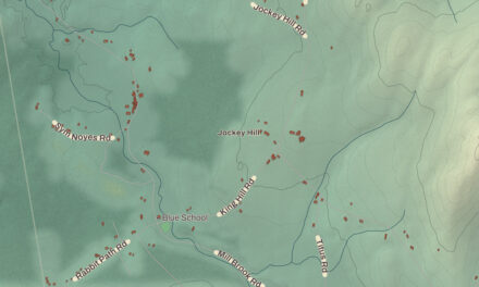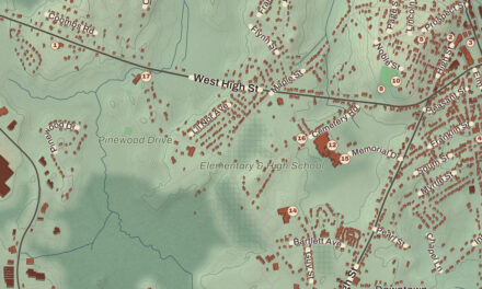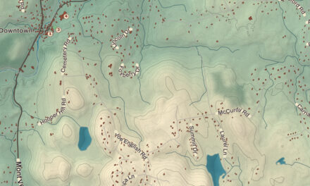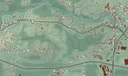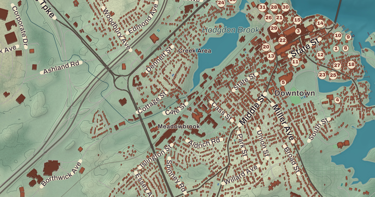
Portsmouth grew up on the west bank of the Piscataqua, where the first colonists found wild strawberries and named the place Strawbery Banke, and its brick downtown on the waterfront still centers on Market Square. This map prints the Piscataqua River and Hodgdon Brook, the John Paul Jones House, the MacPheadris-Warner House, Portsmouth City Hall and the Portsmouth Public Library, with Atlantic Heights and Hillcrest Estates.
Portsmouth is a city in Rockingham County, on the coast of New Hampshire.
KNOWOL made this map in 2026 from public survey data and gave it the look of an old atlas. The shaded terrain around Hodgdon Brook and the Piscataqua River comes from United States Geological Survey elevation data, and the highest point in the city is just 110 feet above sea level, within Pease International Airport. The roads and the city line come from the Census Bureau, down to smaller roads such as Durgin Lane. The John Paul Jones House, the Langdon mansion and the Warner House are National Historic Landmarks, and we checked them against National Park Service records. Portsmouth had 21,956 people at the 2020 census.
See it on a wall
The Portsmouth map as a framed print. Swipe for more.


Strawbery Banke
Martin Pring was the first European known to explore the area, in 1603. The Piscataqua is a tidal estuary with a swift current, but it makes a good natural harbor, and colonists settled its west bank in 1630. At its incorporation in 1653, the town was named Portsmouth for the English port where the colony’s founder, John Mason, had been captain. Fishing, lumber and shipbuilding were the region’s main businesses. In 1713 it hosted the talks for the Treaty of Portsmouth between the Abenaki and the colonies of Massachusetts Bay and New Hampshire, and in 1774 Paul Revere rode here to warn that the Royal Navy was coming for the harbor. Portsmouth became a city in 1849.
The old neighborhood around Puddle Dock, where the first settlement stood, was saved from 1950s urban renewal by preservationists and opened in 1965 as Strawbery Banke, an outdoor museum of more than 37 restored buildings from the 17th to 19th centuries. Its page calls it the oldest neighborhood in New Hampshire settled by Europeans. Across the street are the riverside gardens of Prescott Park. Downtown’s brick look has its own story: after fires in the early 19th century, the worst in 1813, a fire district required new buildings to be brick with slate roofs.
Three houses on the map
The John Paul Jones House, at 43 Middle Street, was built in 1758 for Captain Gregory Purcell by Hopestill Cheswell, a successful African American master housewright. After Purcell died, his widow took in boarders, and John Paul Jones rented a room from her in 1781 and 1782 while he oversaw the building of a ship across the river. The town page names it the Ranger, built on Badger’s Island in Kittery, and the house’s page names it the America. The house has belonged to the Portsmouth Historical Society since 1919 and is a National Historic Landmark and museum.
The Warner House, at 150 Daniel Street, long known as the MacPheadris-Warner House, was built between 1716 and 1718 for Captain Archibald Macpheadris. Its page calls it the oldest urban brick house in northern New England, and the murals in its stair hall the oldest surviving Anglo-American wall murals in the country. Governor Benning Wentworth lived in it for nearly 20 years. When an oil company wanted the lot for a gas station in the early 1930s, Edith Greenough Wendell and other preservationists raised $10,000 and bought it in March 1932. John Langdon, a merchant, shipbuilder, signer of the Constitution and three-term president of New Hampshire, built his mansion, the Gov. John Langdon Mansion, at 143 Pleasant Street in 1784, and George Washington praised it when he visited in 1789. Historic New England runs it today.
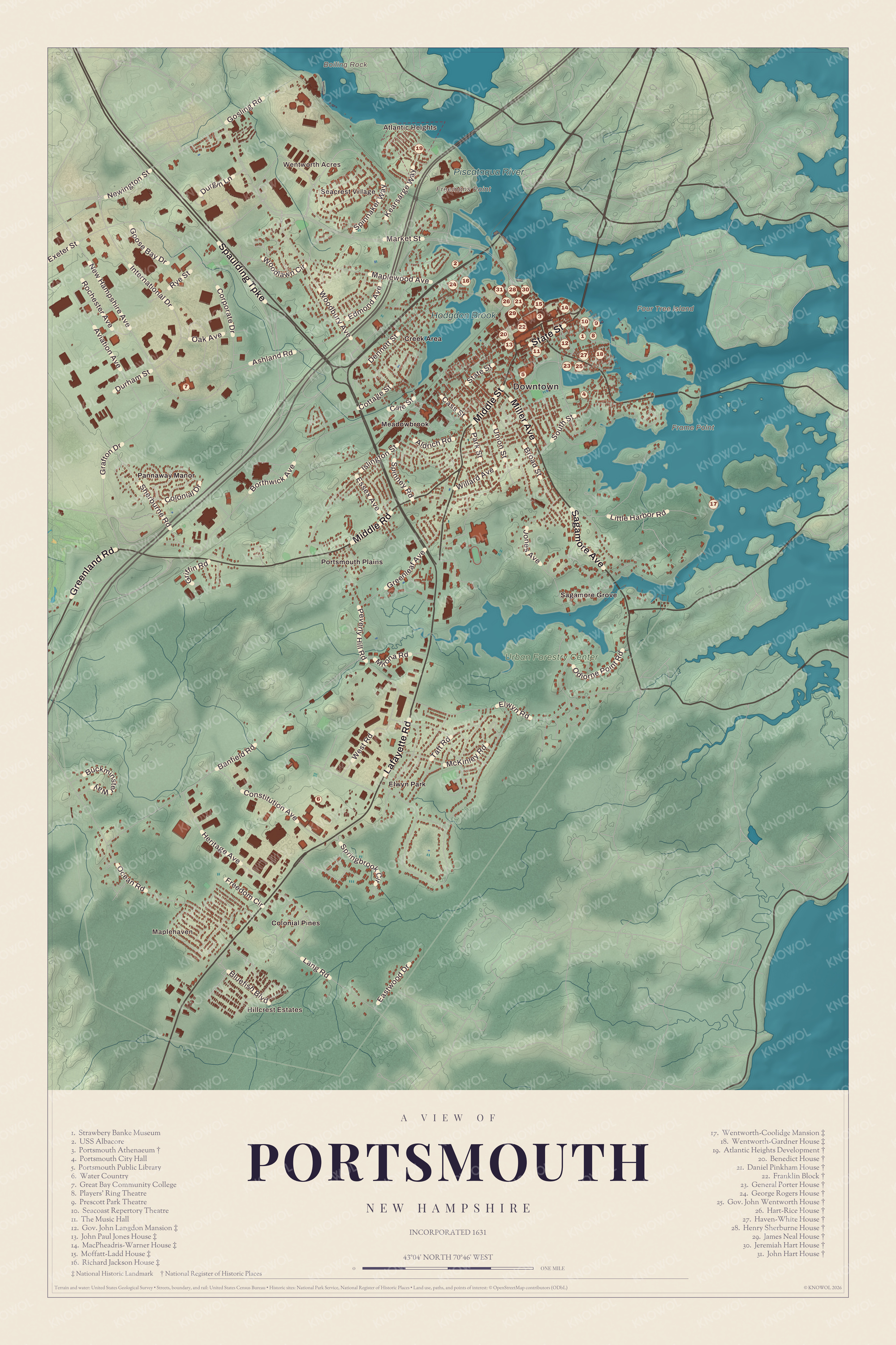
Click to explore a larger preview. The digital watermark does not appear on printed maps.
Names on this map
These names are printed on this map.
Places: Downtown, Hillcrest Estates, Atlantic Heights, Wentworth Acres, Maplehaven, Seacrest Village, Boiling Rock, Four Tree Island, Frame Point, Freemans Point, Hodgdon Brook, Piscataqua River, Urban Forestry Center, Colonial Pines, Creek Area, Elwyn Park, Meadowbrook, Pannaway Manor, Portsmouth Plains, Sagamore Grove, Strawbery Banke Museum, USS Albacore, Portsmouth Athenaeum, Portsmouth City Hall, Portsmouth Public Library, Water Country, Great Bay Community College, Players' Ring Theatre, Prescott Park Theatre, Seacoast Repertory Theatre, The Music Hall, Gov. John Langdon Mansion, John Paul Jones House, MacPheadris-Warner House, Moffatt-Ladd House, Richard Jackson House, Wentworth-Coolidge Mansion, Wentworth-Gardner House, Atlantic Heights Development, Benedict House, Daniel Pinkham House, Franklin Block, General Porter House, George Rogers House, Gov. John Wentworth House, Hart-Rice House, Haven-White House, Henry Sherburne House, James Neal House, Jeremiah Hart House and John Hart House.
Streets and roads: Lafayette Road, Spaulding Turnpike, Greenland Road, Sagamore Avenue, Middle Road, Middle Street, Miller Avenue, State Street, Market Street, Woodbury Avenue, Corporate Drive, Banfield Road.
More street names, A to Z
Aldrich Road, Ashland Road, Aviation Avenue, Bluefish Boulevard, Borthwick Avenue, Broad Street, Buckminster Way, Cass Street, Cate Street, Colonial Drive, Constitution Avenue, Cottage Street, Dennett Street, Durgin Lane, Durham Street, Eastwood Drive, Edmond Avenue, Elwyn Road, Essex Avenue, Exeter Street, Freedom Circle, Goose Bay Drive, Gosling Road, Grafton Drive, Greenleaf Avenue, Griffin Road, Heritage Avenue, International Drive, Islington Street, Jones Avenue, Kearsarge Way, Lang Road, Little Harbor Road, Maplewood Avenue, McKinley Road, Mirona Road, New Hampshire Avenue, Newington Street, Oak Avenue, Ocean Road, Odiorne Point Road, Park Street, Peverly Hill Road, Rochester Avenue, Rye Street, Sherburne Road, South Street, Spinnaker Way, Spinney Road, Springbrook Circle, Taft Road, Union Street, West Road, Willard Avenue, Woodlawn Circle.
A petition for freedom
Enslaved Africans were brought to Portsmouth as laborers as early as 1645. In 1779, a group of enslaved African Americans from Portsmouth petitioned the state legislature to abolish slavery, citing their service in the war and the principles of the Revolution. The legislature tabled it. Today words from that petition run along the ground of the Portsmouth African Burying Ground, a memorial park on Chestnut Street over an 18th-century burial ground of nearly two hundred free and enslaved Africans, which its page calls the only archeologically verified African burying ground of its period in New England. Workers found the site in 2003, and the memorial park was unveiled on May 23, 2015.
The harbor and the shipyard
The Piscataqua forms the line between New Hampshire and Maine, and the last 6 miles before the sea are Portsmouth Harbor. The Portsmouth Naval Shipyard, founded in 1800 as the first federal navy yard, sits across the river on Seavey’s Island in Kittery, Maine. In 1905 it hosted the signing of the other Treaty of Portsmouth, which ended the Russo-Japanese War and won President Theodore Roosevelt the 1906 Nobel Peace Prize, and in 1953 it built the experimental submarine USS Albacore, whose teardrop hull became the standard for modern submarines. The Albacore came home in 1985 as a museum. Pease Air Force Base, named for the Medal of Honor pilot Harl Pease Jr., closed in 1991, and the field is now Portsmouth International Airport at Pease. The Portsmouth Public Library, founded in 1896, moved in 2006 into a building at 175 Parrott Avenue that its page calls the first municipal building in New Hampshire with LEED certification. Atlantic Heights and Hillcrest Estates are printed on the map, along with Portsmouth City Hall.
This Portsmouth map makes a good addition to an office, library or den, and it can help teach children the geography and history of the old seaport on the Piscataqua. It’s made for anyone who calls Portsmouth home, from Atlantic Heights to Strawbery Banke, and KNOWOL created it in 2026 to show the city as it looks today. Zoom in on the preview above to explore the details, then click here to get your copy of the Portsmouth map.

Sources