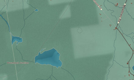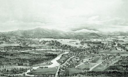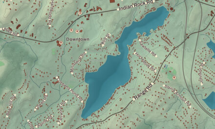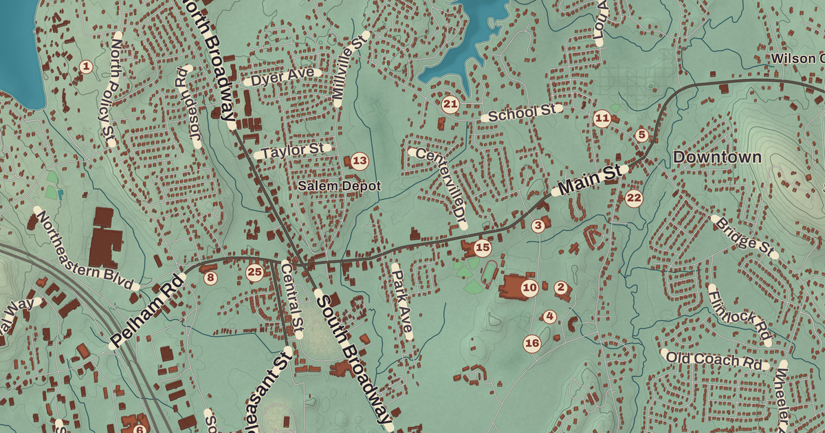
Salem is the first town on Interstate 93 northbound in New Hampshire, and behind its long strip of shops on Route 28 it still keeps a colonial common, a trolley park and a hilltop puzzle in stone. This map prints the Salem Common Historic District, the Salem Town Hall, the Kelley Library, Canobie Lake Park and the Salem District Court, with Mystery Hill, Gordons Hill, Cowbell Corners and Hampshire Road.
Salem is in Rockingham County, on the Massachusetts line.
KNOWOL made this map in 2026 from public survey data and gave it the look of an old atlas. The shaded terrain around Gordons Hill and Mystery Hill comes from United States Geological Survey elevation data; the summit of Gordons Hill, 366 feet on the western line, is the highest point in town. The roads and the town line come from the Census Bureau, down to smaller roads such as Carriage Lane. The Salem Common Historic District is on the National Register of Historic Places, and we checked it against National Park Service records. Salem had 30,089 people at the 2020 census.
See it on a wall
The Salem map as a framed print. Swipe for more.


The north parish
Settlers first came in 1652, and by 1736 this was the North Parish of Methuen, Massachusetts. When the line between Massachusetts and New Hampshire was fixed in 1741, the parish landed in New Hampshire and took the name Salem, after Salem, Massachusetts, and Governor Benning Wentworth incorporated the town in 1750. The parish meetinghouse of 1738 still stands. It was moved beside the common in 1838, the year religious services ended there, served as the town’s civic center into the 1940s and held a court upstairs from 1961 to 1973, and since 1981 it has been the Salem Historical Society’s museum. The Salem Common Historic District takes in the common, laid out around 1741, with that old town hall, an 1861 district schoolhouse that’s now a branch library, a 1906 fire station, war memorials and the town’s first burying ground, its rows of graves above the Spicket River inside a rubblestone wall. The district was listed on the National Register in 2011.
Canobie Lake Park
The Massachusetts Northeast Street Railway Company opened Canobie Lake Park on August 23, 1902, to give people a reason to ride its trolleys, and it worked. Crowds came from the mill cities of Haverhill, Lawrence, Lowell, Methuen, Manchester and Nashua to stroll the flower gardens and promenades along the lake. When cars replaced the trolleys, the park closed in 1929 and was auctioned in 1931 to be cut into house lots, but Patrick J. Holland, a contractor from Ireland, bought it for $17,000, restored it and reopened it in 1932. Duke Ellington, Frank Sinatra and Ella Fitzgerald played its Dancehall Theater, and Stephen King based the amusement park in his novel Joyland on it. Its page counts it as one of only thirteen trolley parks still running, and three families who bought it in 1958 still run it.
Mystery Hill
On a wooded hill in Salem stand the stone chambers and walls long known as Mystery Hill, a name William Goodwin gave the site after he bought it in 1937. It has been called America’s Stonehenge since 1982. Their origin is disputed: Goodwin believed Irish monks built them, an idea regarded as pseudoarchaeology, and many believe Jonathan Pattee, who had a house in those woods, built the site in the nineteenth century, while charcoal found there shows people lived on the hill 4,000 years ago. Today it’s a privately owned attraction of about 30 acres, with snowshoe trails and an alpaca farm.
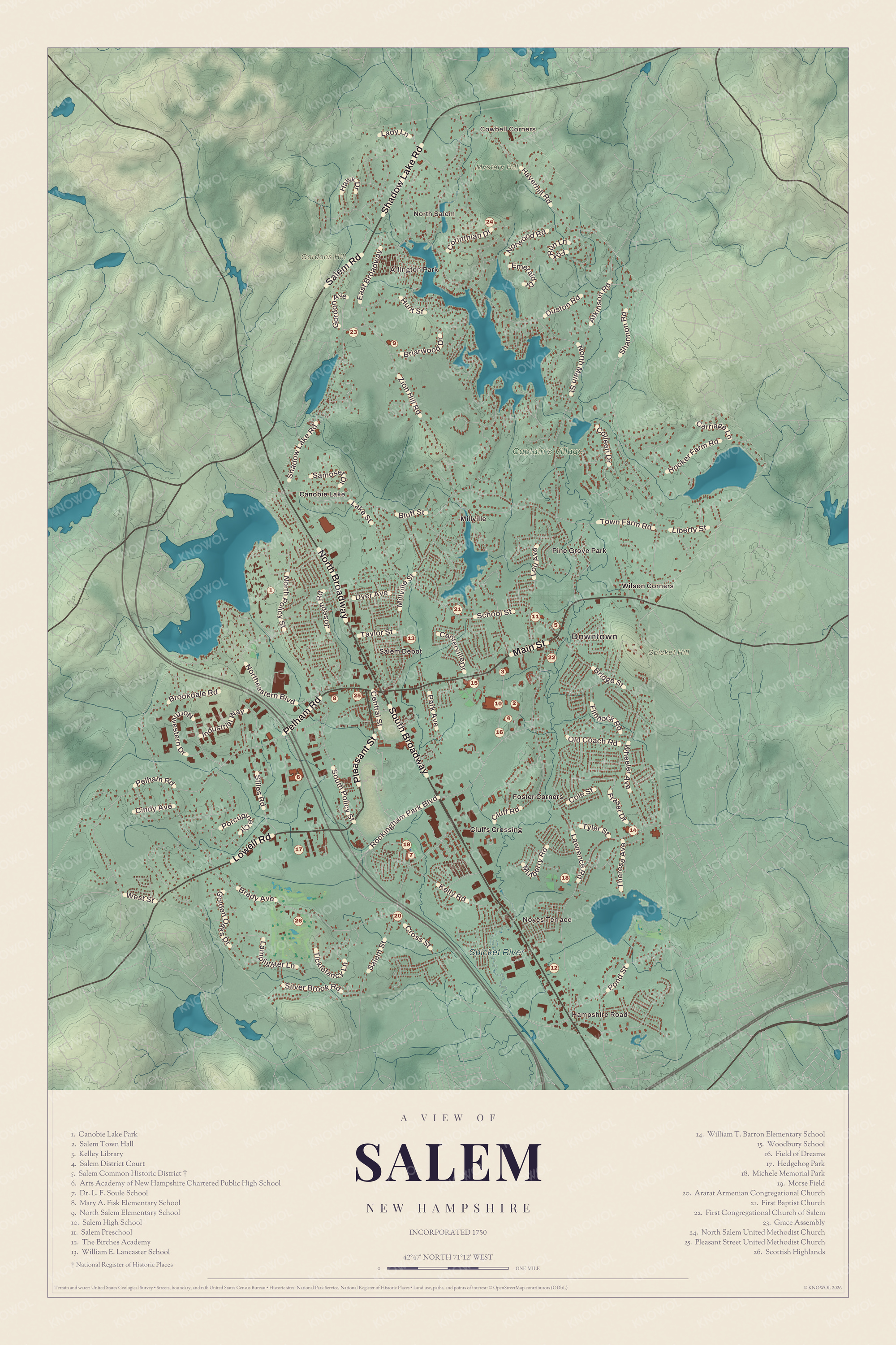
Click to explore a larger preview. The digital watermark does not appear on printed maps.
Names on this map
These names are printed on this map.
Places: Downtown, Cowbell Corners, Hampshire Road, North Salem, Noyes Terrace, Arlington Park, Gordons Hill, Mystery Hill, Spicket Hill, Spicket River, Captain's Village, Canobie Lake, Cluffs Crossing, Foster Corners, Millville, Pine Grove Park, Salem Depot, Wilson Corners, Canobie Lake Park, Salem Town Hall, Kelley Library, Salem District Court, Salem Common Historic District, Arts Academy of New Hampshire Chartered Public High School, Dr. L. F. Soule School, Mary A. Fisk Elementary School, North Salem Elementary School, Salem High School, Salem Preschool, The Birches Academy, William E. Lancaster School, William T. Barron Elementary School, Woodbury School, Field of Dreams, Hedgehog Park, Michele Memorial Park, Morse Field, Ararat Armenian Congregational Church, First Baptist Church, First Congregational Church of Salem, Grace Assembly, North Salem United Methodist Church, Pleasant Street United Methodist Church and Scottish Highlands.
Streets and roads: South Broadway, Main Street, North Broadway, Lowell Road, Pleasant Street, Shadow Lake Road, Salem Road, Pelham Road, North Main Street, Lawrence Road, Brady Avenue, Shannon Road.
More street names, A to Z
Atkinson Road, Bluff Street, Briarwood Drive, Bridge Street, Brookdale Road, Carriage Lane, Centerville Drive, Central Street, Cindy Avenue, Cluff Road, Cole Street, Colleen Drive, Corinthian Drive, Cross Street, Duston Road, Dyer Avenue, East Broadway, Emerald Drive, Flintlock Road, Fox Run Lane, Fraser Drive, Golden Oaks Drive, Gordon Avenue, Haverhill Road, Hawk Drive, Hooker Farm Road, Hunt Street, Industrial Way, Joseph Road, Kelly Road, Lady Lane, Lake Street, Lamplighter Lane, Liberty Street, Lou Avenue, Millville Street, Mulberry Road, Northeastern Boulevard, North Policy Street, Northwestern Drive, Norwood Road, Old Coach Road, Park Avenue, Pond Street, Porcupine Circle, Rockingham Park Boulevard, Salem Street, Samoset Drive, School Street, Silver Brook Road, South Policy Street, Stiles Road, Taylor Street, Theresa Avenue, Ticklefancy Lane, Town Farm Road, Tyler Street, West Street, Wheeler Avenue, Zion Hill Road.
Rockingham Park and Route 28
Starting in the 1950s, Salem grew quickly as part of Greater Boston, with neighborhoods, stores along Route 28 and the business zone off Exit 2. Rockingham Park, a mile-long horse track near the old railroad depot, held its first meet in 1906, hosted northern New England’s first aviation meet in 1911 and saw Seabiscuit race in 1935 and 1936. The Red Sox outfielder Duffy Lewis, who mastered the slope in front of Fenway Park’s left field wall so well it was named Duffy’s Cliff, retired to Salem and kept box seats at the track. Since 2017 the Tuscan Village complex has been rising on the old track grounds. The Olympic hockey player Katie King-Crowley grew up in Salem and won gold, silver and bronze medals, and the Sununu family, which gave the state two governors and a United States senator, comes from Salem. Canobie Lake lies on the western line and the Spicket River drains the town. Mystery Hill, Gordons Hill, Cowbell Corners and Hampshire Road are printed on the map, along with the Salem Town Hall, the Kelley Library and the Salem District Court.
This Salem map is a good addition to an office, library or den, and it can help teach children the geography and history of a border town that grew from a farm parish. It’s made for anyone who calls Salem home, from Cowbell Corners to Canobie Lake, and KNOWOL created it in 2026 to show the town as it looks today. Zoom in on the preview above to explore the details, then click here to get your copy of the Salem map.

Sources