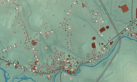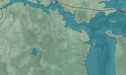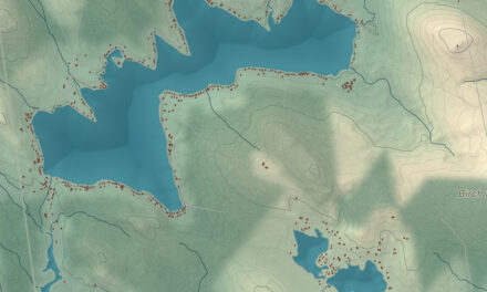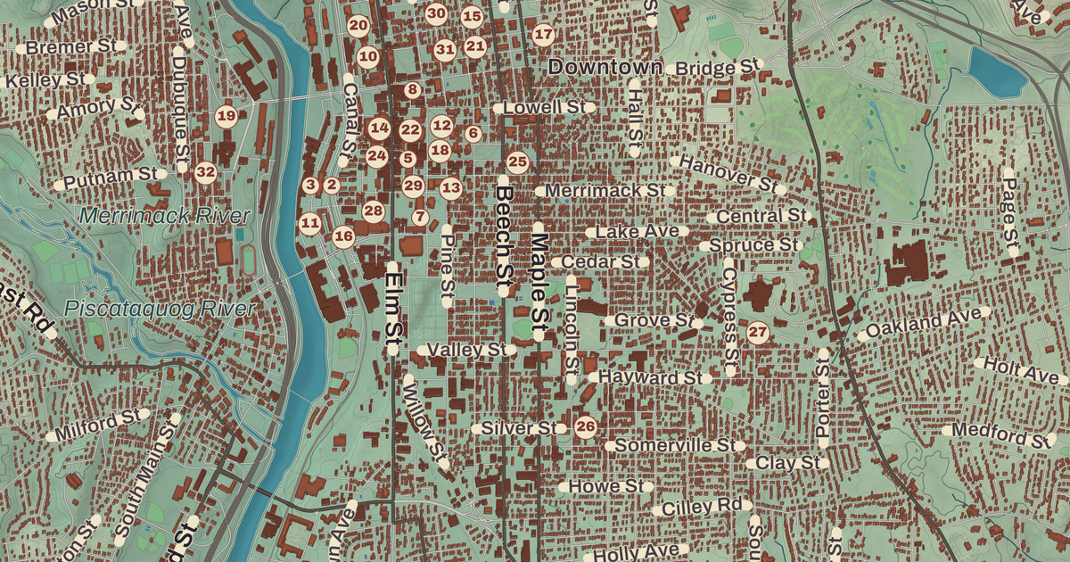
Elm Street runs along a ridge above the Merrimack in Manchester, with City Hall at Hanover Street and the long brick mills of the Millyard lined up along the river below. This map prints the Currier Museum of Art, The Palace Theatre, the Millyard Museum, the SEE Science Center and the Manchester City Library, with Martin, Massabesic, Goffs Falls and Bald Hill.
Manchester is in Hillsborough County, and it’s the most populous city in New Hampshire.
KNOWOL made this map in 2026 from public survey data and gave it the look of an old atlas. The shaded terrain around Martin and Massabesic comes from United States Geological Survey elevation data; the highest point in the city is atop Wellington Hill, 570 feet above sea level. The streets and the city line come from the Census Bureau, right down to Gay Street. Amoskeag Millyard Housing District A, the Alpheus Gay House and Manchester City Hall are on the National Register of Historic Places, and we checked them against National Park Service records. Manchester had 115,644 people at the 2020 census.
See it on a wall
The Manchester map as a framed print. Swipe for more.


Namaoskeag, Derryfield, Manchester
The Pennacook people called the falls on the Merrimack at the heart of today’s city Namaoskeag, “good fishing place.” The river drops 50 feet in a quarter of a mile there, and the people who lived nearby caught sturgeon, alewife and salmon in the rapids with nets strung across the river. In 1722 John Goffe III settled beside Cohas Brook and later built a dam and sawmill at a spot nicknamed Old Harry’s Town. Massachusetts granted the land in 1727 as Tyngstown, to veterans of Queen Anne’s War who had served under Captain William Tyng in 1703, but when New Hampshire separated from Massachusetts in 1741 the grant was ruled invalid, and in 1751 Governor Benning Wentworth chartered the town again as Derryfield, a name still carried by Derryfield Park and the Derryfield School.
John Stark’s family moved to Derryfield when he was eight, and he lived there the rest of his life, through service with Rogers’ Rangers and as a hero of the Revolution, including the victory at Bennington. In 1809, too unwell at 81 to travel to a Bennington reunion, he sent his old comrades a letter that closed “Live free or die: Death is not the worst of evils,” and in 1945 Live Free or Die became New Hampshire’s state motto. He died on his farm in 1822 and is buried there, in the family plot that’s now the center of Stark Park on the North End. His state historical marker adds that when soldiers fell ill with smallpox at Ticonderoga, Stark sent them to his farm to recover. The burial ground and the land around it passed from the family to the city between 1876 and 1891, the park was dedicated in 1893, and a bronze equestrian statue of Stark by Richard Henry Recchia went up in 1948.
The Millyard
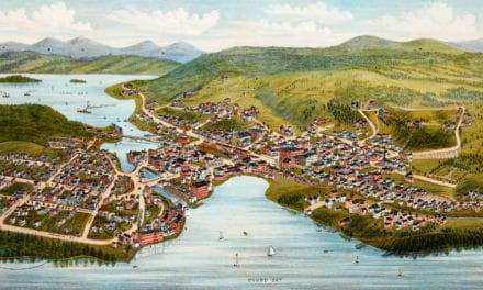
Samuel Blodget began a canal around the falls in 1793 with money from a lottery, and he finished it, with its locks, in 1807. He dreamed of “the Manchester of America,” a mill city like Manchester, England, then at the front of the Industrial Revolution. In 1809 Benjamin Prichard and others built a water-powered cotton spinning mill on the west bank, and in 1810, apparently on Blodget’s suggestion, Derryfield was renamed Manchester. The business became the Amoskeag Manufacturing Company in 1831. Its engineers laid out a planned company town on the east bank in 1838, with Elm Street as its main street, and Manchester became a city in 1846. Mill No. 11, 900 feet long with 4,000 looms, was called the largest cotton mill in the world, and Amoskeag grew into the largest cotton textile plant in the world; Levi Strauss was a customer, and his riveted blue jeans were made with Amoskeag cloth. The company’s foundry also built rifles, sewing machines, textile machinery, fire engines and locomotives. The mills needed workers, and immigrants came, above all French Canadians; many people in Manchester today descend from them.
Amoskeag closed in 1935, and by the 1950s and 1960s many mill buildings stood empty. In the 1980s the University of New Hampshire at Manchester opened a campus in the Millyard and the inventor Dean Kamen bought old mills for his company, DEKA, and today the old mills hold offices, restaurants, software companies, college branches, art studios, apartments and a museum. The state historical marker at the mills says that in its century the company ran 64 mills over a mile and a half of ground, with 700,000 spindles and 23,000 looms turning out 500,000 yards of cloth a week.
On the West Side, in the parish of Sainte-Marie, Monsignor Pierre Hevey organized a credit union in 1908 for the French-speaking mill workers, opening it in the home of attorney Joseph Boivin. Its state historical marker calls it the first credit union in the United States. Now St. Mary’s Bank, it changed the prospects of Franco-American families who had struggled to get into the banking system, and Boivin’s house has been America’s Credit Union Museum since 2002.
Theaters, art and Elm Street
City Hall, at 908 Elm Street where Hanover Street meets it, was built in 1844 and 1845 to a design by the Boston architect Edward Shaw after the first city hall on the site burned, an early Gothic Revival civic building with a clock tower. On Hanover Street, the Greek immigrant Victor Charas began building the Palace Theatre in 1914, and it opened on April 9, 1915; its page says it was billed as “the only first-class theatre in New Hampshire that was fireproof and air-conditioned,” the cooling done by fans blowing over blocks of ice under the stage. Jimmy Durante, Bob Hope, Harry Houdini and the Marx Brothers played its vaudeville stage, it became a movie house from 1930, and after years of disuse a restoration reopened it in the 1970s. The Manchester City Library has served the city since the 1850s and has been in the Carpenter Memorial Building on Pine Street since 1914.
The Currier Museum of Art opened in October 1929, founded by the bequest of former Governor Moody Currier and his wife, Hannah Slade Currier, and its collection includes work by Picasso, Matisse, Monet, O’Keeffe, Sargent and Wyeth. It also keeps two houses by Frank Lloyd Wright, the Zimmerman House and the Kalil House. On Myrtle Street, the contractor Alpheus Gay built his own house about 1870, which its page calls one of the state’s most elaborate Italianate houses, with a three-story tower over the entry; the Currier owned it for a time. Manchester-born Bernice Blake Perry became, in 1929, the first woman in New Hampshire to pilot a plane and the first woman commercial pilot in New England, according to her state historical marker.
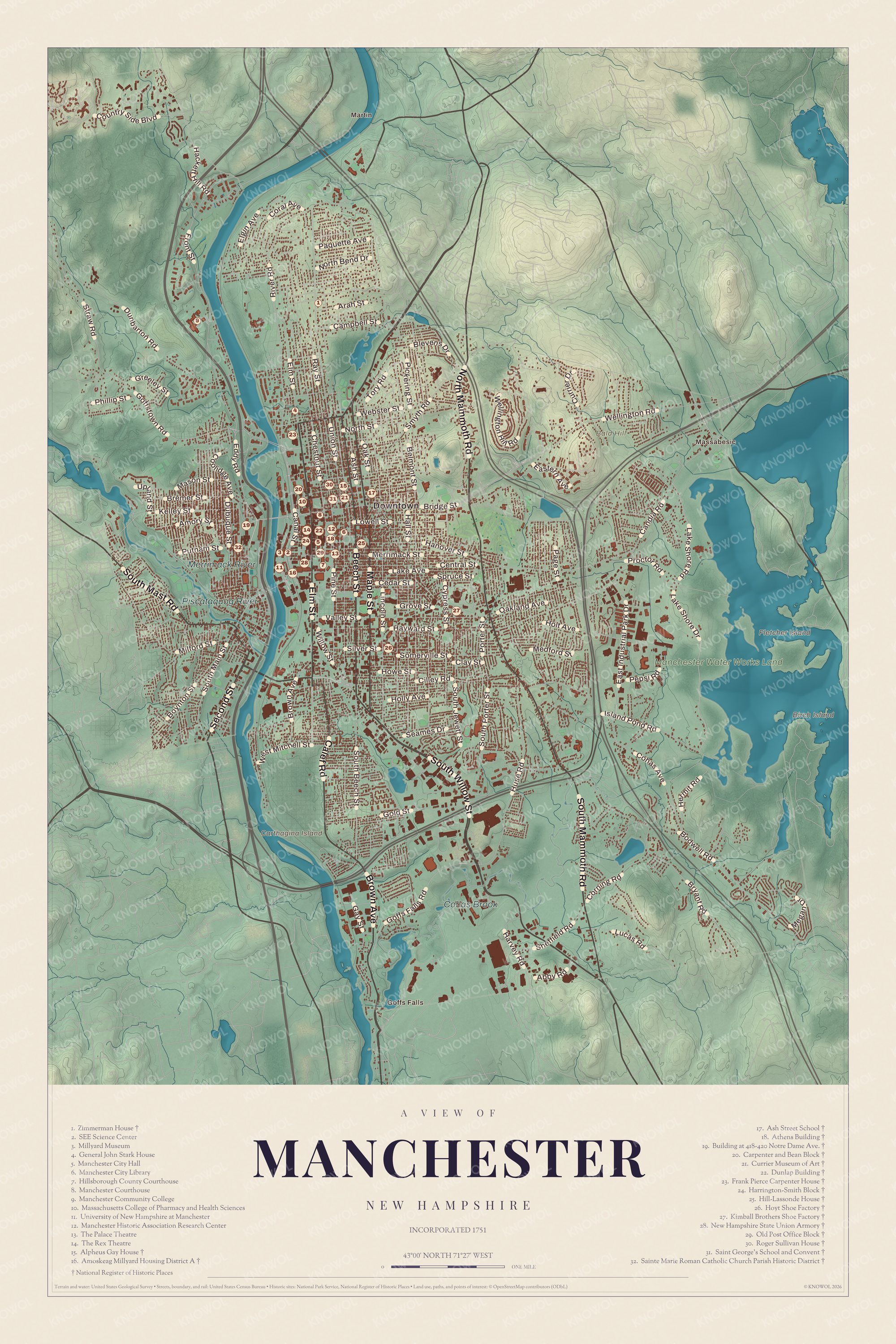
Click to explore a larger preview. The digital watermark does not appear on printed maps.
Around the city
The Merrimack runs through the middle of Manchester, with the Piscataquog River and Cohas Brook flowing into it. On the eastern edge, Massabesic Lake covers about 2,560 acres in Manchester and Auburn; its name comes from the Abenaki Massa’nbesek, “at the great water,” and because it supplies the city’s drinking water, swimming isn’t allowed, though sailing, fishing and kayaking are. Goffes Falls, an older neighborhood on the edge of the city, centered on Cohas Brook, has seen much airport building in the last 50 years. Valley Cemetery downtown, on 20 acres the Amoskeag company gave in 1840, was laid out as a garden cemetery for strolling as well as burial. Concord lies 18 miles north and Nashua 18 miles south, Boston 51 miles away. Martin, Massabesic, Goffs Falls and Bald Hill are printed on the map, along with the SEE Science Center and the Millyard Museum. The Manchester Historic Association runs the Millyard Museum.
This Manchester map is a fine addition to an office, library or den, and it can help teach children the geography and history of the mill city on the Merrimack. It’s made for anyone who calls Manchester home, from the Millyard to the shore of Massabesic. KNOWOL created it in 2026, and it’s printed on museum quality archival paper. Zoom in on the preview above to explore the details, then click here to get your copy of the Manchester map.

Sources
- Manchester, New Hampshire, Wikipedia
- Amoskeag Falls, Wikipedia
- John Stark, Wikipedia
- Stark Park, Wikipedia
- List of New Hampshire historical markers (201 to 225), Wikipedia
- List of New Hampshire historical markers (101 to 125), Wikipedia
- List of New Hampshire historical markers (251 to 275), Wikipedia
- Amoskeag Manufacturing Company, Wikipedia
- St. Mary’s Bank, Wikipedia
- City Hall (Manchester, New Hampshire), Wikipedia
- Palace Theatre (Manchester, New Hampshire), Wikipedia
- Currier Museum of Art, Wikipedia
- Alpheus Gay House, Wikipedia
- Lake Massabesic, Wikipedia
- Neighborhoods in Manchester, New Hampshire, Wikipedia
- Valley Cemetery, Wikipedia