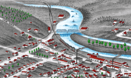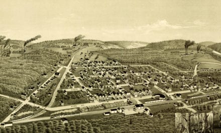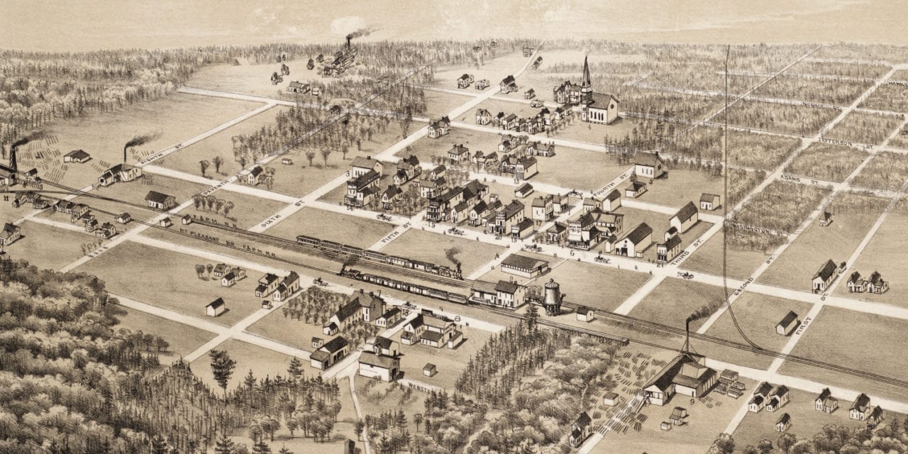
This map of Coleman, Michigan was created in 1884 by O.H. Bailey, a prominent 19th century map maker. The map shows a bird’s eye view of Coleman as it was, including street names and old landmarks.
Historic landmarks on the map include the Flint and Pere Marquette Railroad Station, George Millers Lumber and Shingle Mill, Town Hall, Coleman Exchange, Deuel Hotel, Junction House, Planing Mill, Furniture Store, Drug Store, Billiard Parlor, and more.
This historic map of Coleman, MI has been restored by KNOWOL. Reproductions of the map are available here.
Bird’s Eye View of Coleman, Michigan in 1884
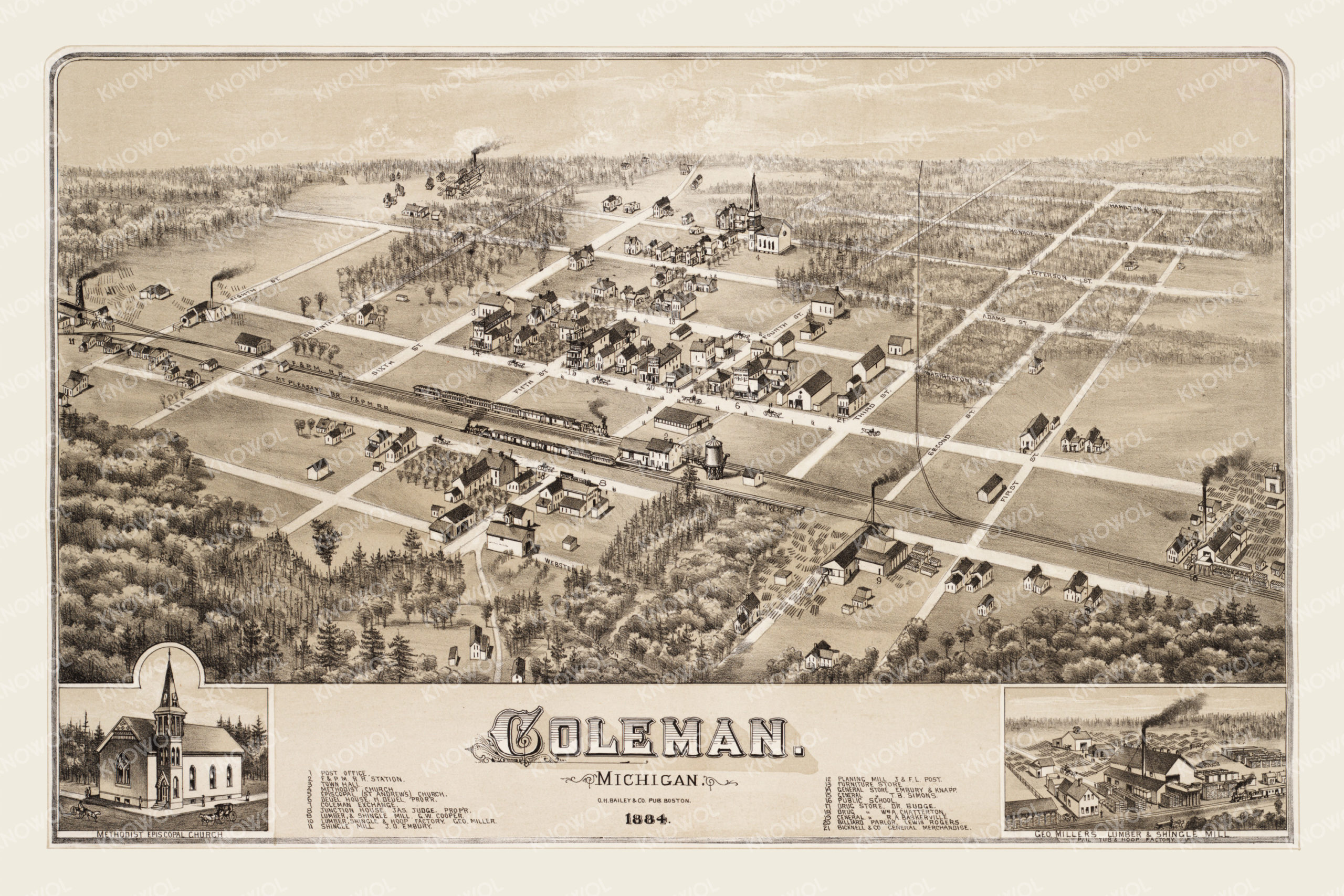
This historic map of Coleman will make an attractive addition to your office, library, or den and can even be used to teach children the geography and history of the area. When you’re done exploring, click here to get your copy.